Skip ahead to check conditions
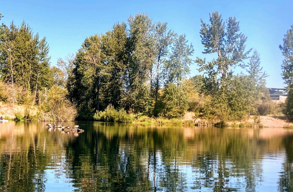
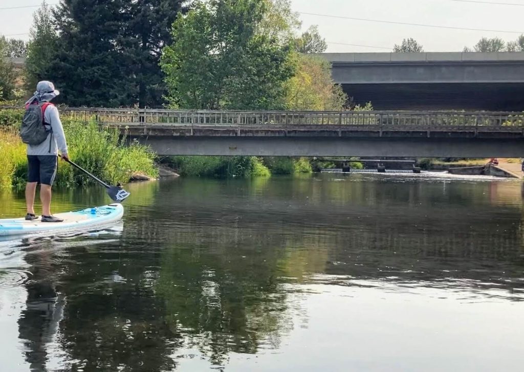
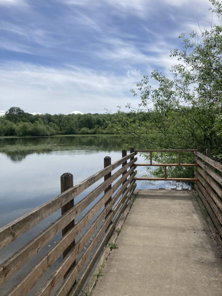
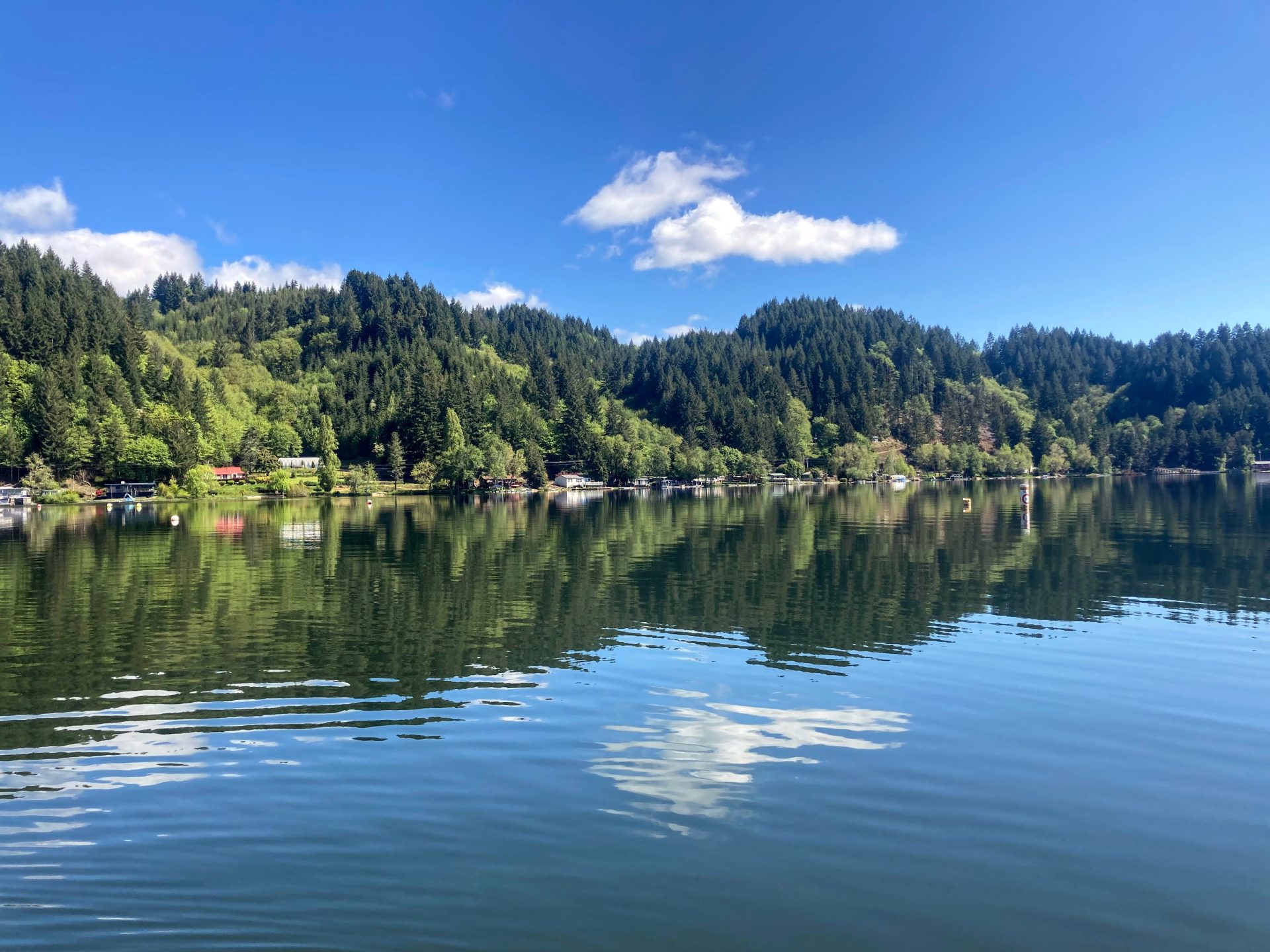
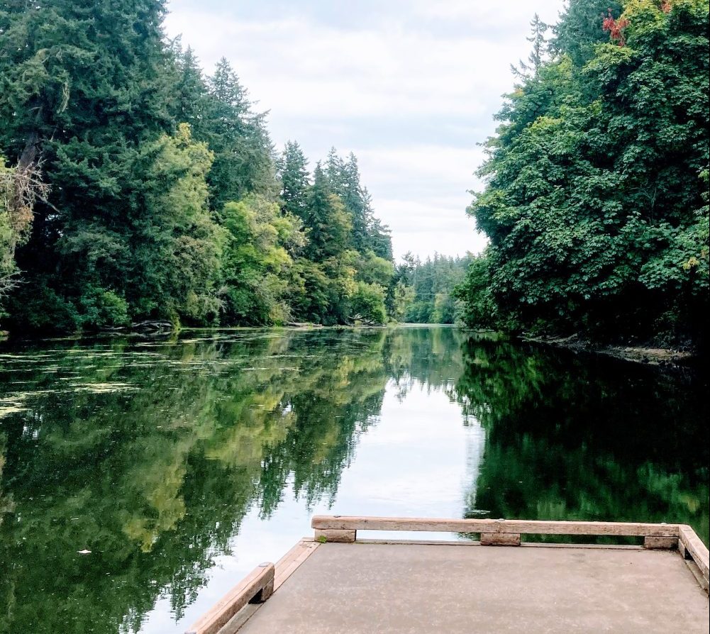
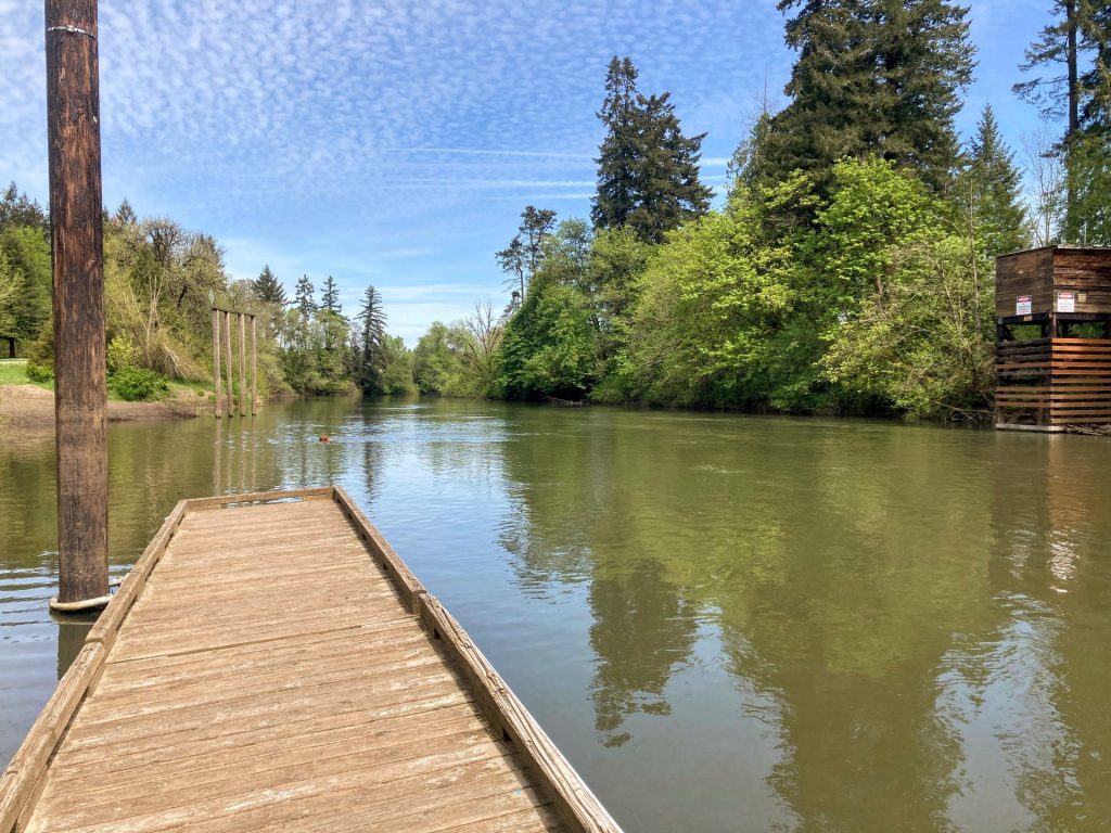
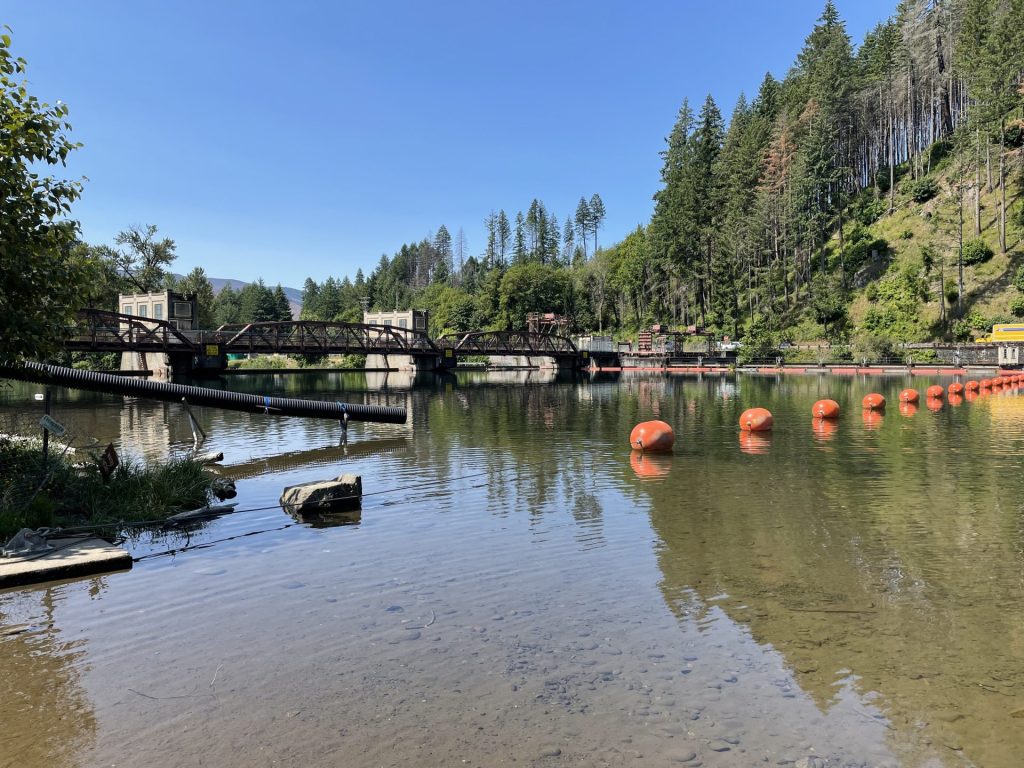
Enjoy this no-wake flatwater portion of the beautiful McKenzie River at Leaburg Dam and the photo-ops of the iconic covered bridge known as Goodpasture Bridge. Leaburg Dam is located only 22 miles east of Springfield and is used by EWEB to provide hydroelectric power to some Eugene homes.
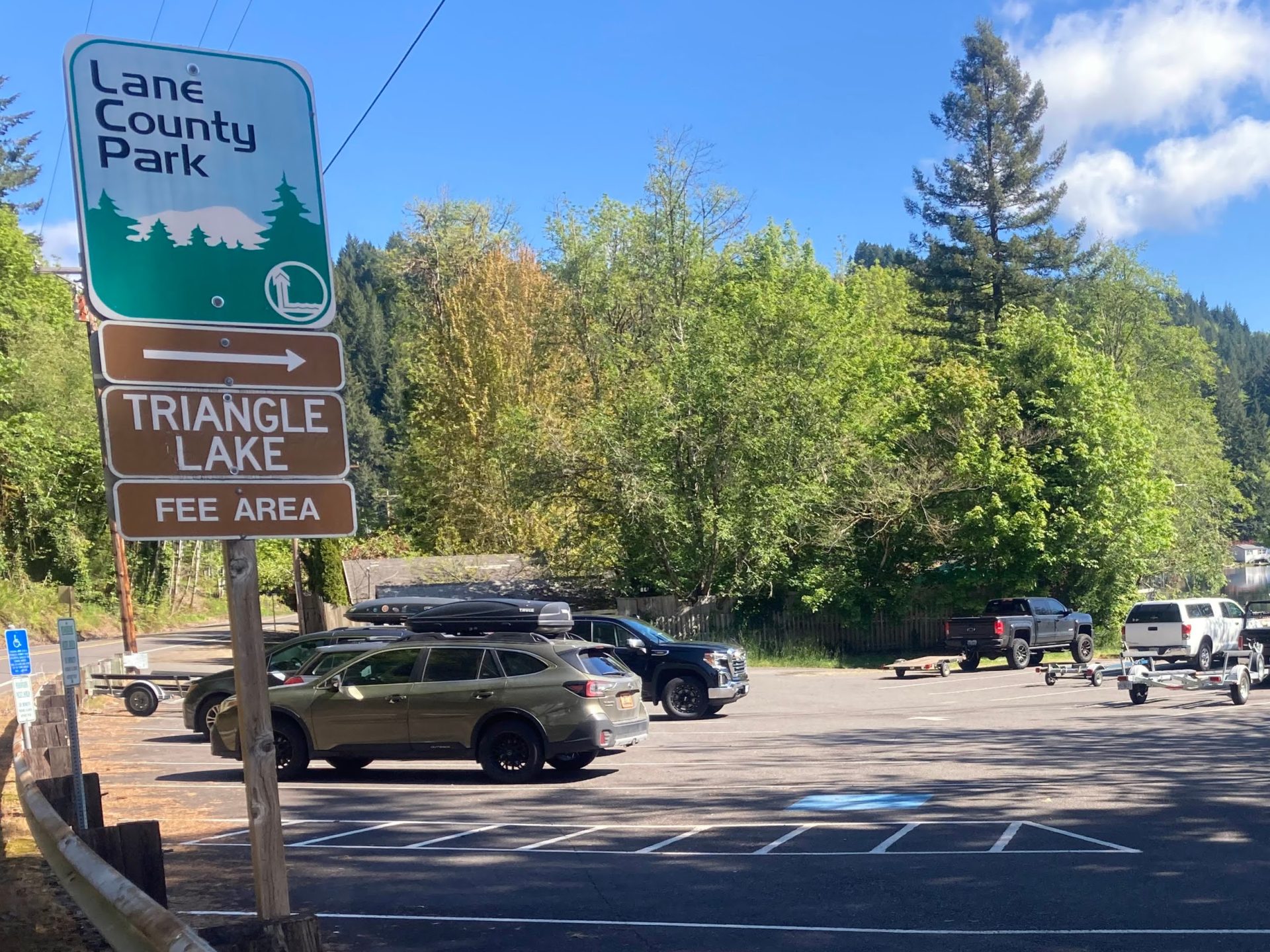
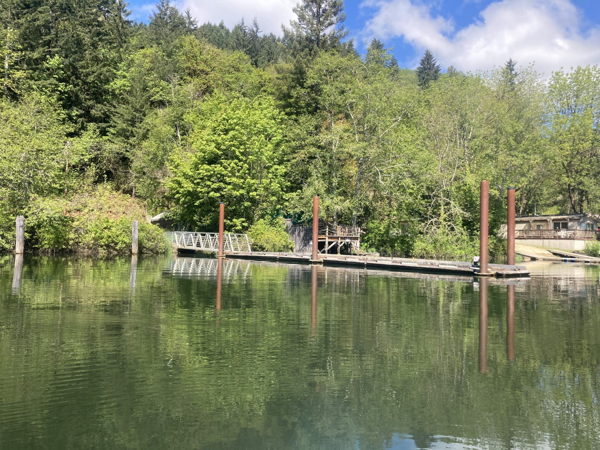
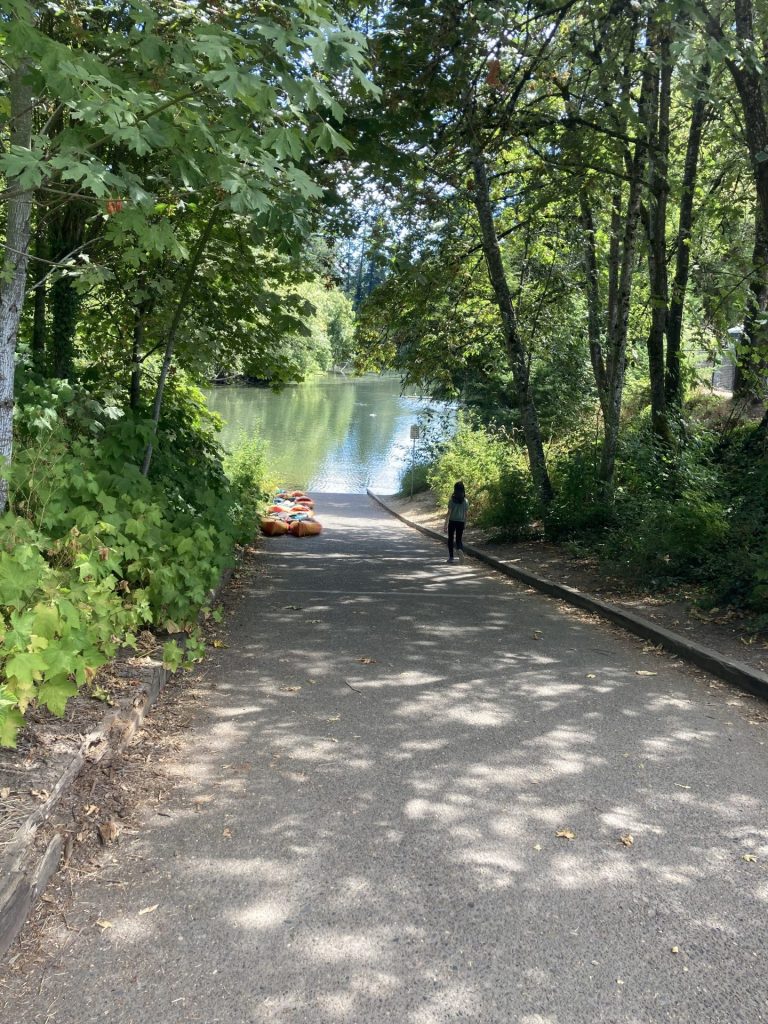
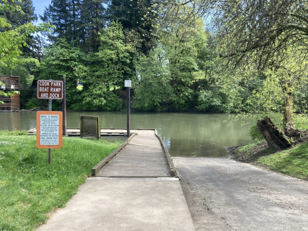
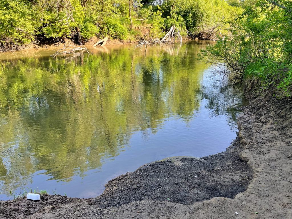
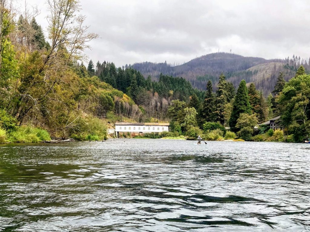
There are two public launch sites along this stretch of the river from Leaburg Dam to Goodpasture Bridge. The boat ramp next to Lloyd Knox Park is the favored starting point for an out-and-back paddle, going against the mild current first and then getting a little boost on the return. The Goodpasture Boat Ramp is located on the other end, very close to the Goodpasture Covered Bridge.
Good to Know:
- The cellular signal is poor or fair.
- The water is always cold here, so this is probably not the best choice for first-timers or someone who is prone to falling in. In the warmest months of July and August, for example, you can anticipate water temperatures in the low 60’s.
- There is a waterway restriction of slow no-wake 5mph for this entire route.
Launch Sites:
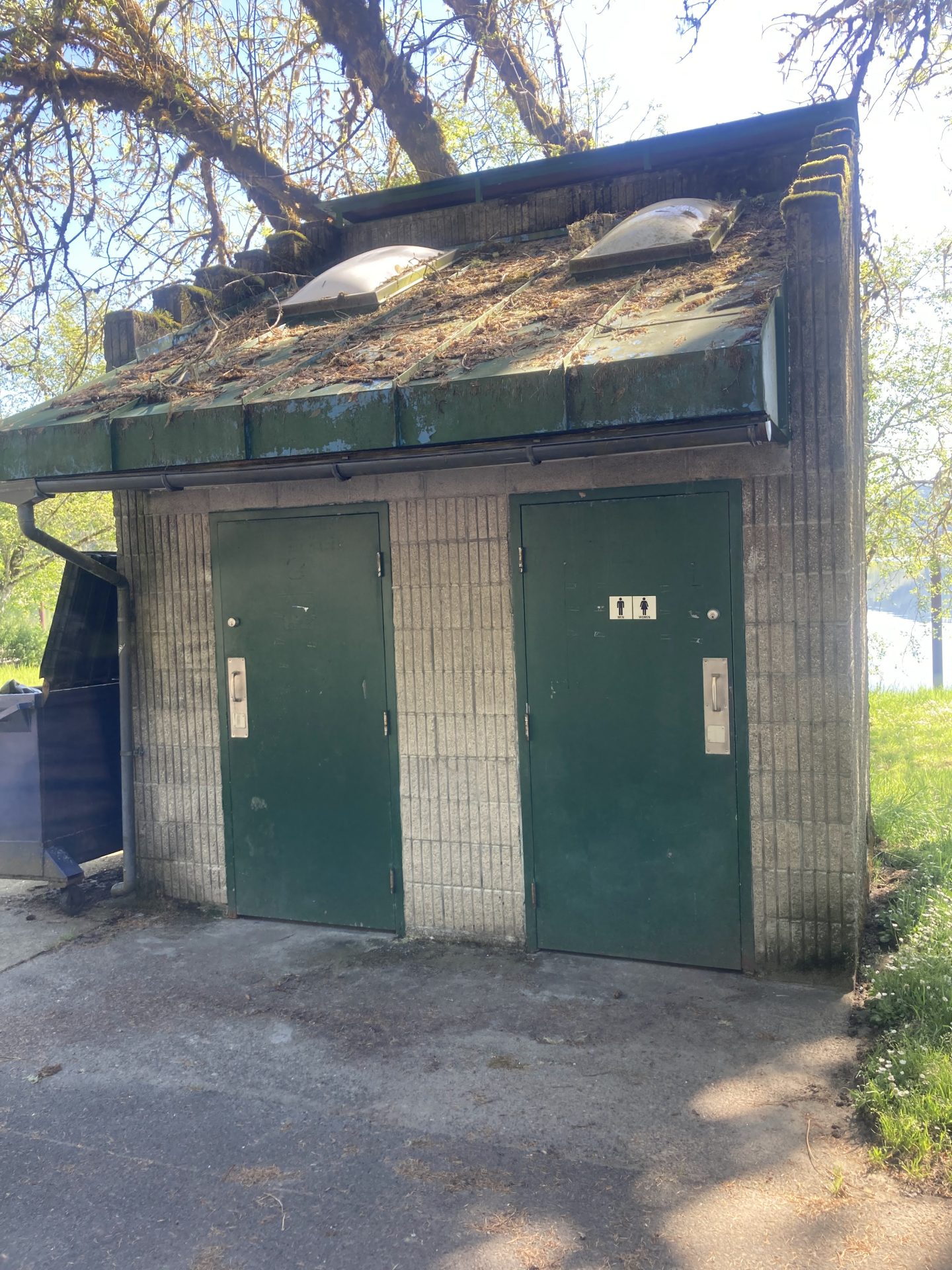
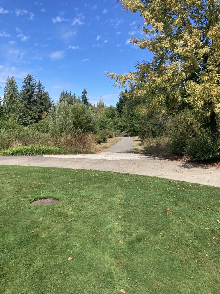
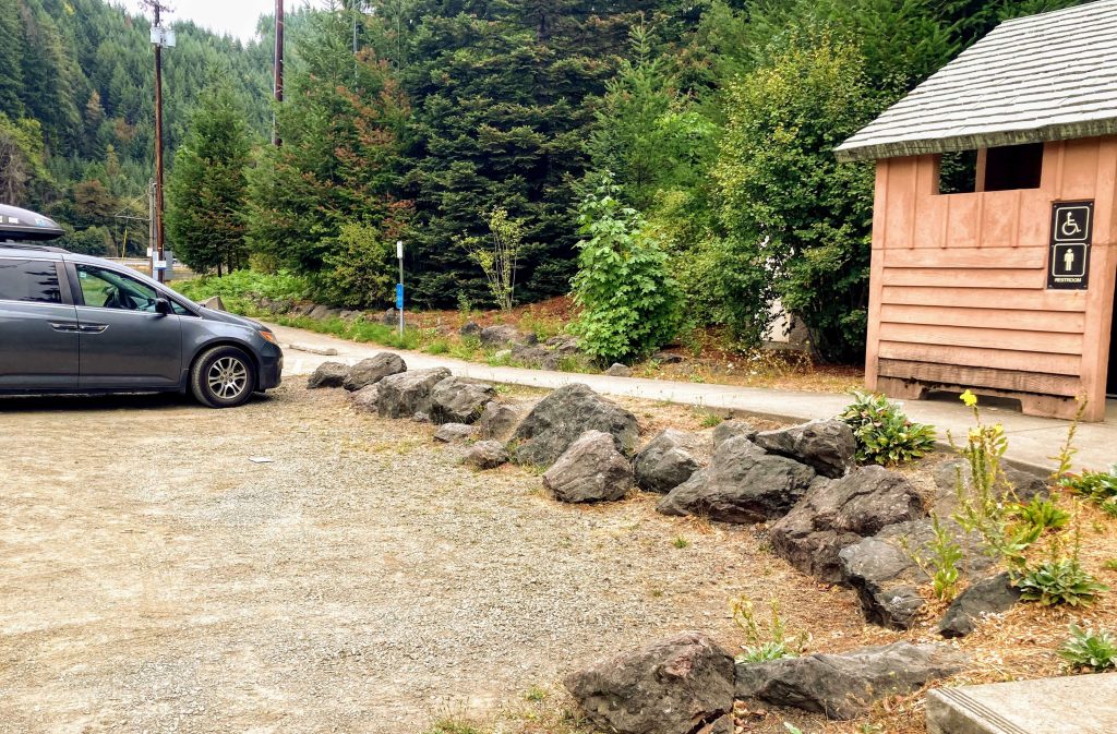
Lloyd Knox Park
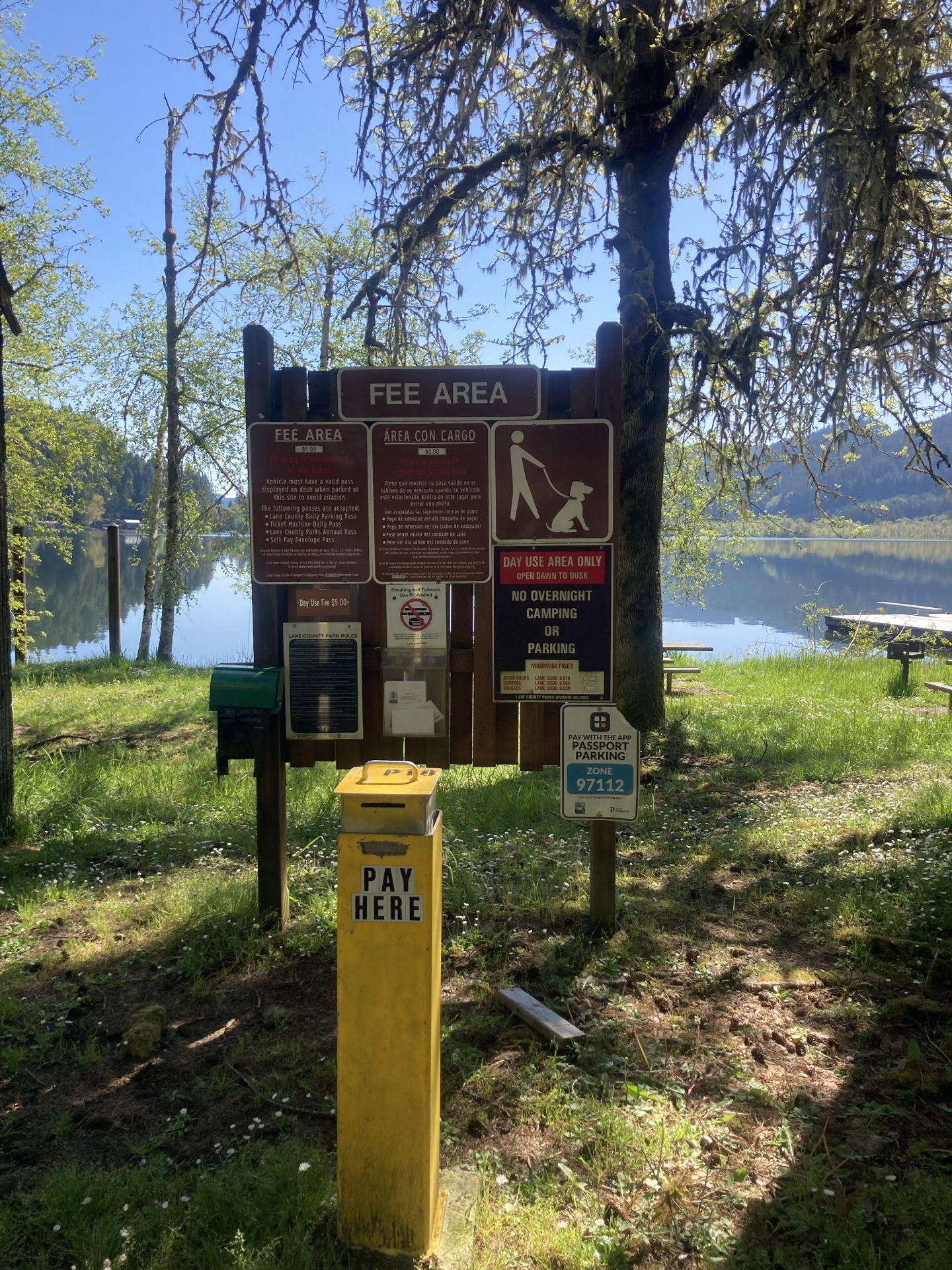
- Parking fee: none
- Launch type: boat ramp, gradual shore
- Restrooms: vault
- Open: year round
Driving Directions:
From OR-126, turn at Leaburg Dam Road and cross over the 1-lane bridge. Immediately after crossing the bridge, turn left into the small gravel parking lot next to to the dam.
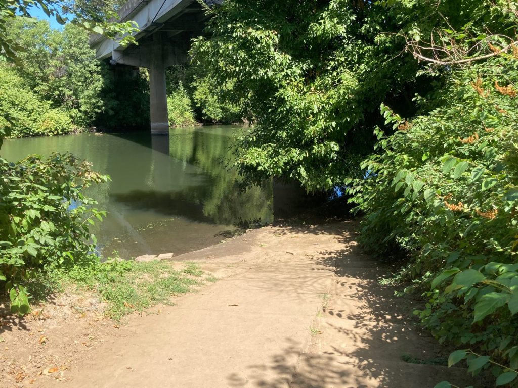
Goodpasture Boat Ramp
- Parking fee: none
- Launch type: boat ramp
- Restrooms: vault


Additional things to do:
- Visit the Leaburg fish hatchery, which is located next to the dam.
- Enjoy a picnic at Lloyd Knox Park that is also maintained by EWEB.
Check before you go:
- Maps and Suggested Routes: Download or print out a map before you go from the SWT Planner App. As a premium member, you can access an ever-growing library of paddling-related maps and suggested routes.
- Weather: Check the weather forecast and pay attention to the wind.
- Water Temperature: Read the cold water safety page if you need more background info.
- Check the flow: This is usually an easy out-and-back paddle during the months of April to October when the flow is less than 5000 cfs. (It has been noted, however, that this paddle can get difficult going upstream when it is> 12,000 cfs.)
- Inspect your watercraft. You can help prevent the spread of aquatic invasive species by wiping off any vegetation or debris from your watercraft and making sure it is dry each time before entering a new waterway.
- PFD, Whistle, and Waterway Access Permit: In Oregon, all paddlecraft 10′ or longer (including SUPs, kayaks, and canoes) require a permit. You can purchase the permit online.
Beware that the routes and information on this site are just general guides and the best path may vary based on water level, obstructions, experience level, equipment, and other conditions. Paddlers are responsible for providing their own safety. Super Water Trails does not assume any liability.