Skip ahead to check conditions
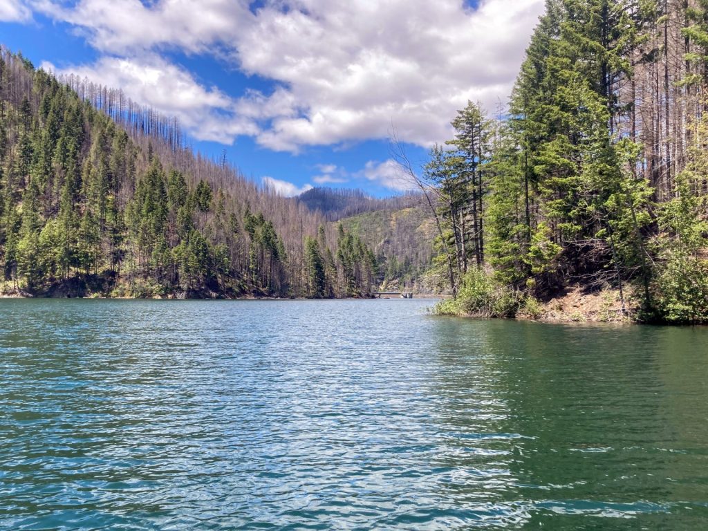
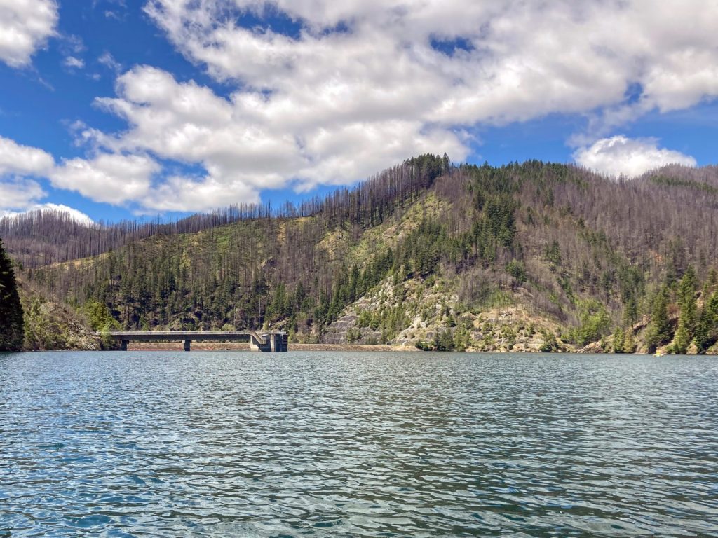
Hills Creek Reservoir is located near Oakridge, within an hours’ drive from Eugene. It is managed by the US Army Corps of Engineers (USACE) and provides flood control, temperature regulation downstream, as well as water recreation. Hills Creek Reservoir is located along the Middle Fork Willamette River, just upstream from Dexter and Lookout Point Reservoirs.
Good to know:
This place has not been reviewed yet. You can share your tips and experiences with us in the comments below!
Launch Sites:
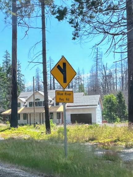
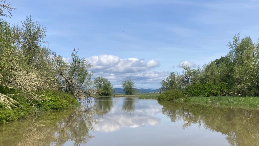
Larison Cove
- Parking fee: day use fee or NW Forest Pass or equivalent
- Launch type: dock
- Restrooms: vault
- Open:
This area has a waterway restriction of slow no-wake only in Larison Cove or Creek west of NF-21.
Paddle around Larison Cove on a 2-mile family-friendly loop, just check first that the reservoir has enough water.
Driving Directions:
Packard Creek Boat Ramp
- Parking fee: day use fee
- Launch type: boat ramp
- Restrooms: vault
- Open: year-round
This ramp is located at the low-water level and is open year-round.
There is also a campground here and a designated swimming area
Driving Directions:
CT Beach
- Parking fee: NW Forest Pass (or equivalent) or day use fee
- Launch type: boat ramp
- Restrooms: vault
- Open: year-round
The parking lot is paved and has spaces for trailers. There are also picnic tables at this site.
Check the water level (see below) to see if it reaches this ramp. This a popular place for paddlers to put in and paddle into the arm.
Driving Directions:
Bingham Boat Ramp
- Parking fee: NW Forest Pass (or equivalent) or day use fee
- Launch type: boat ramp
- Restrooms: vault
- Open:
Check the water level (see below) to make sure it reaches this ramp.
Driving Directions:

Check before you go:
- Weather: Check the weather forecast and pay attention to the wind.
- Park questions: contact the Middle Fork Ranger District at 541-782-2283
- Water Temperature: Read the cold water safety page if you need more background info.
- Water Level: This reservoir is allowed to fill starting 2/1 and is lowered starting 9/1 each year.
- Toxic algae blooms: This temporary condition occurs at some of the area lakes in the summer and may affect your health if water or fish is consumed during these conditions. Get more info on how to tell if algae is harmful and watch for water advisories but also use common sense if you see water that doesn’t look right.
- Inspect your watercraft. You can help prevent the spread of aquatic invasive species by wiping off any vegetation or debris from your watercraft and making sure it is dry each time before entering a new waterway.
- PFD, Whistle, and Waterway Access Permit: In Oregon, all paddlecraft 10′ or longer (including SUPs, kayaks, and canoes) require a permit. You can purchase the permit online.
Beware that the routes and information on this site are just general guides and the best path may vary based on water level, obstructions, experience level, equipment, and other conditions. Paddlers are responsible for providing their own safety. Super Water Trails does not assume any liability.