Skip ahead to check conditions
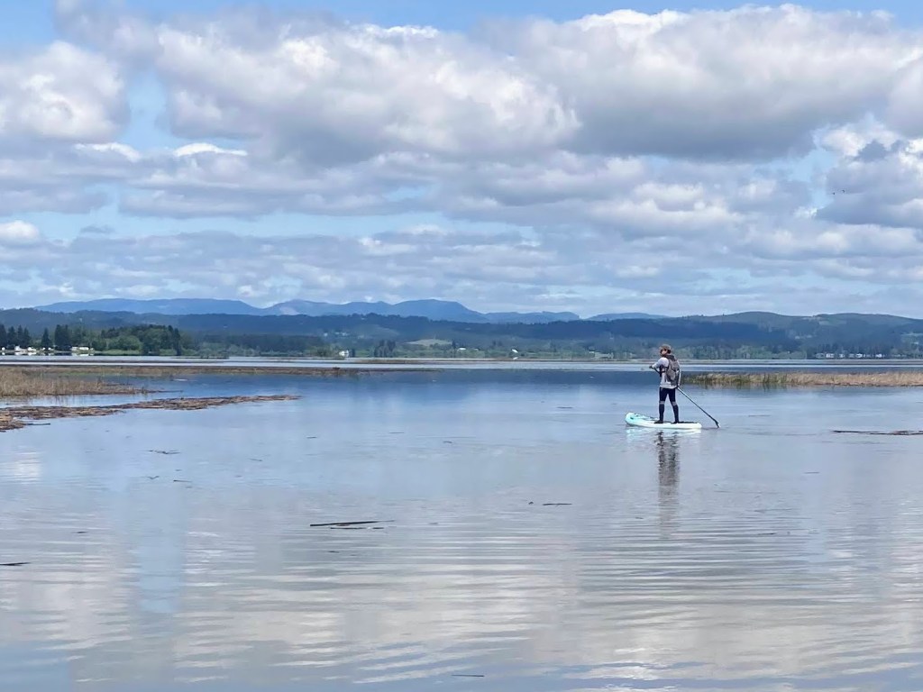
Fern Ridge Lake is a massive 9,360-acre reservoir in the Long Tom River watershed near Eugene. The lake is known for its windy conditions and is used by the yacht club, the UO Sailing team, as well as windsurfers, boaters, and water-skiers.
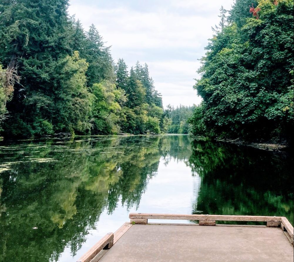
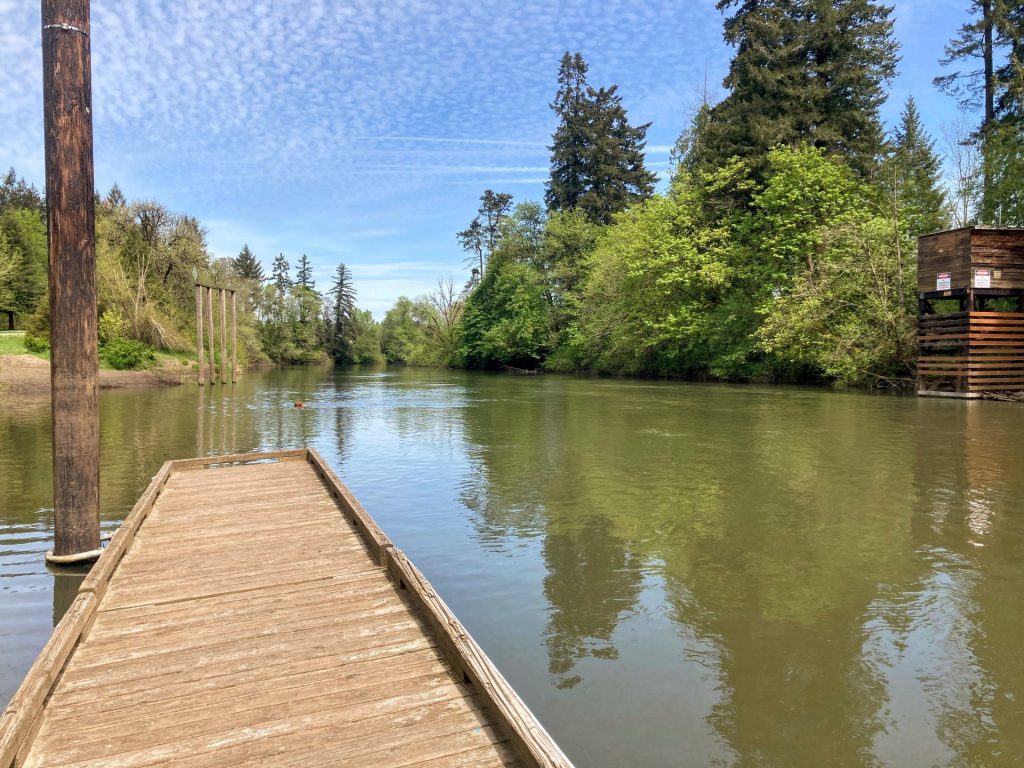
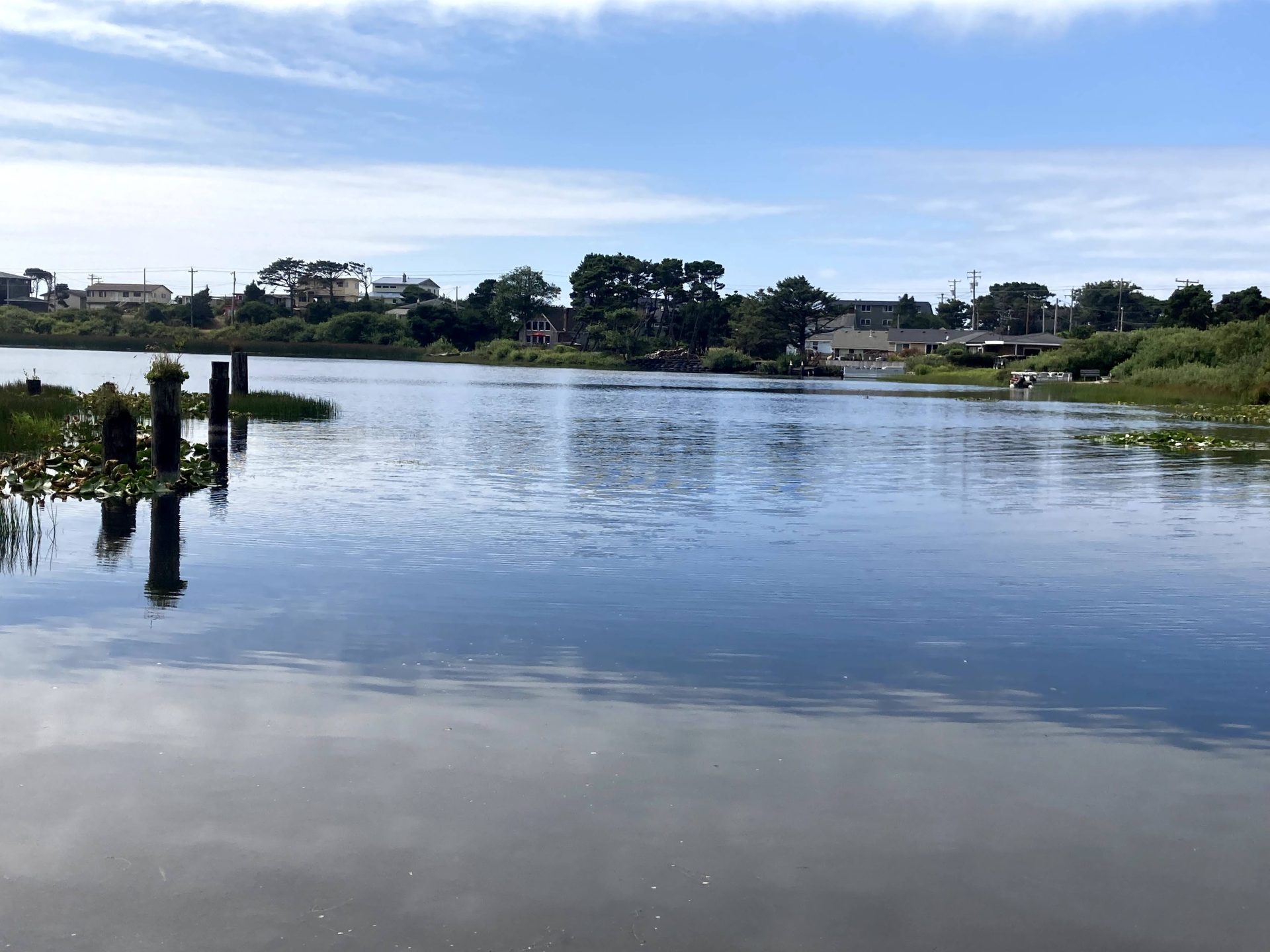
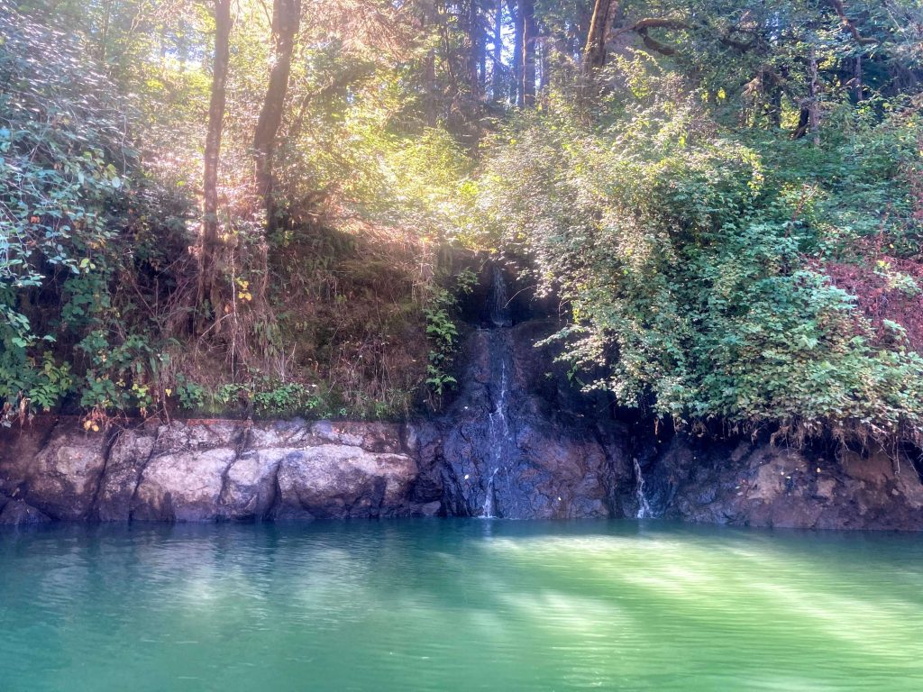
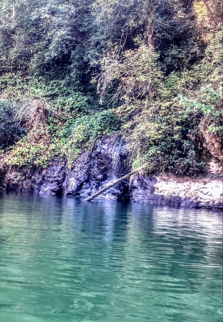
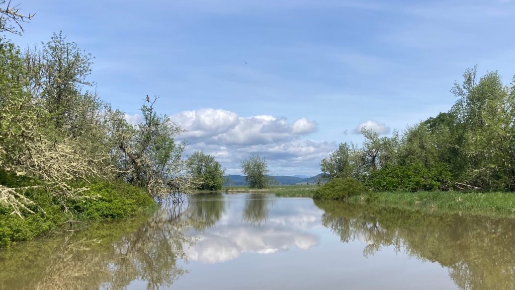
Paddlers launching from Orchard Point Park or Shore Lane Park may enjoy exploring Gibson Island and the Amazon wetlands. Or start at the Perkins Peninsula Park at the south end of Fern Ridge Lake and explore the no-wake zone near the Coyote Creek inlet. A pod of pelicans and a great blue heron may be easily spotted during your visit, and there are many more bird species to be spotted as well.
Richardson Park, Orchard Point Park, and Perkins Pensinula Park all provide ample space and amenities for large groups.
Good to Know:
- The cellular signal reception is generally good or excellent here.
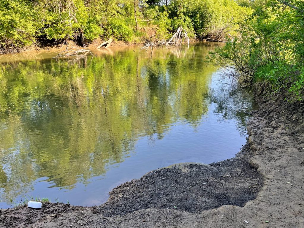
- Due to the flat shape of the basin, a significant reduction of shoreline occurs with just the 20 ft drawdown that occurs each year. All of the launch sites are seasonal as the area becomes mudflats when the water level is lowered.
- If the main part of the lake appears too windy, consider paddling at the Coyote Creek channel instead.
- The water is usually muddy, attributed in part to the high clay content in the soil.
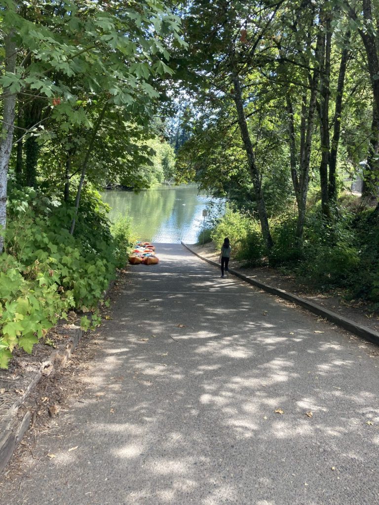
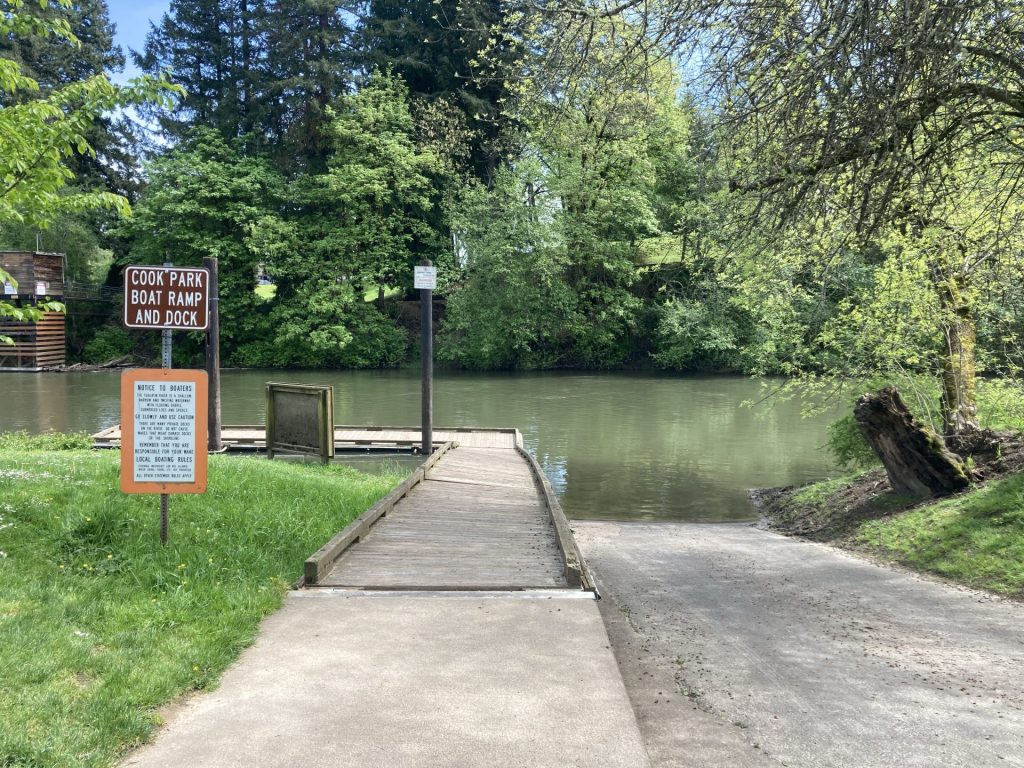
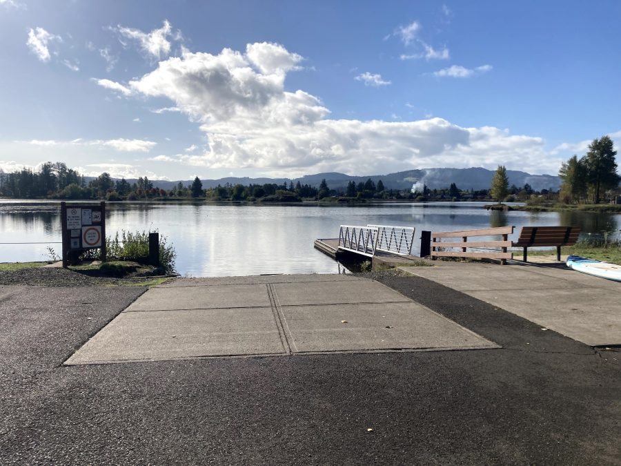
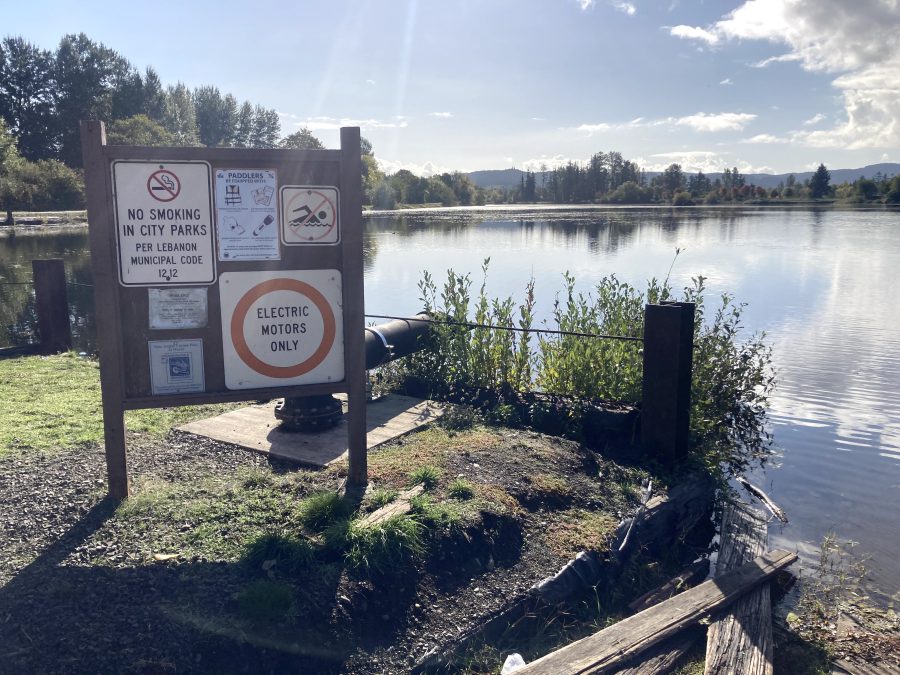
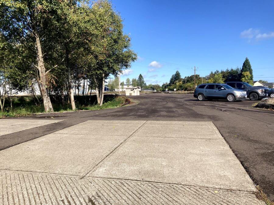
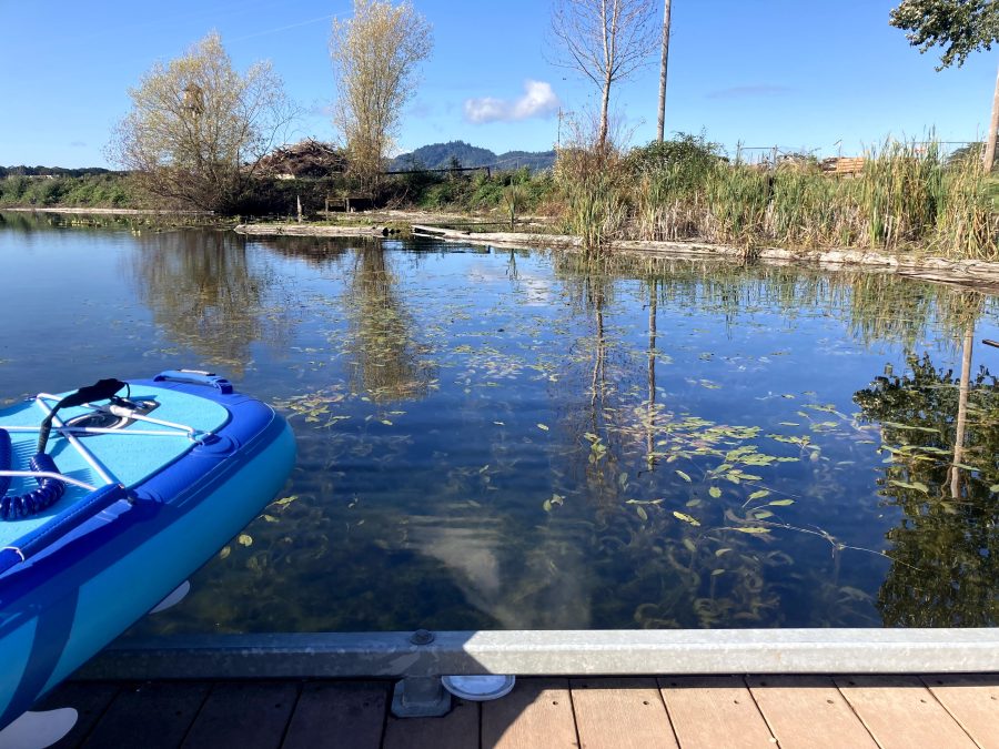
Launch Sites:


Additional things to do:
- Camp at Richardson Park on the northern end of Fern Ridge Lake
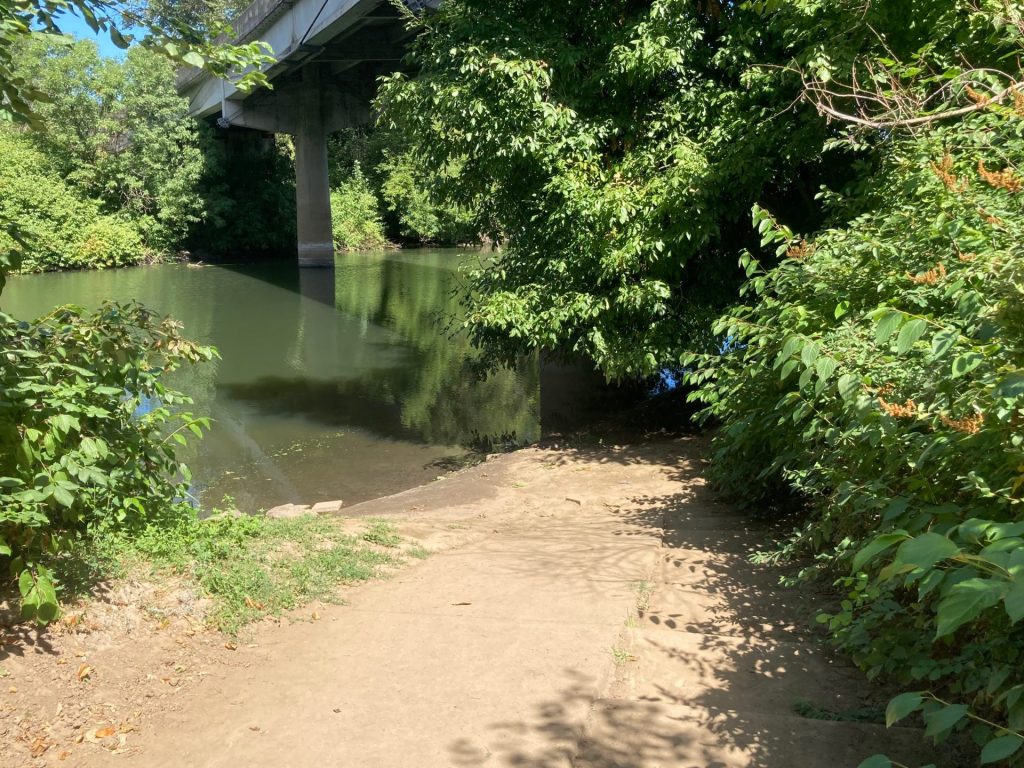
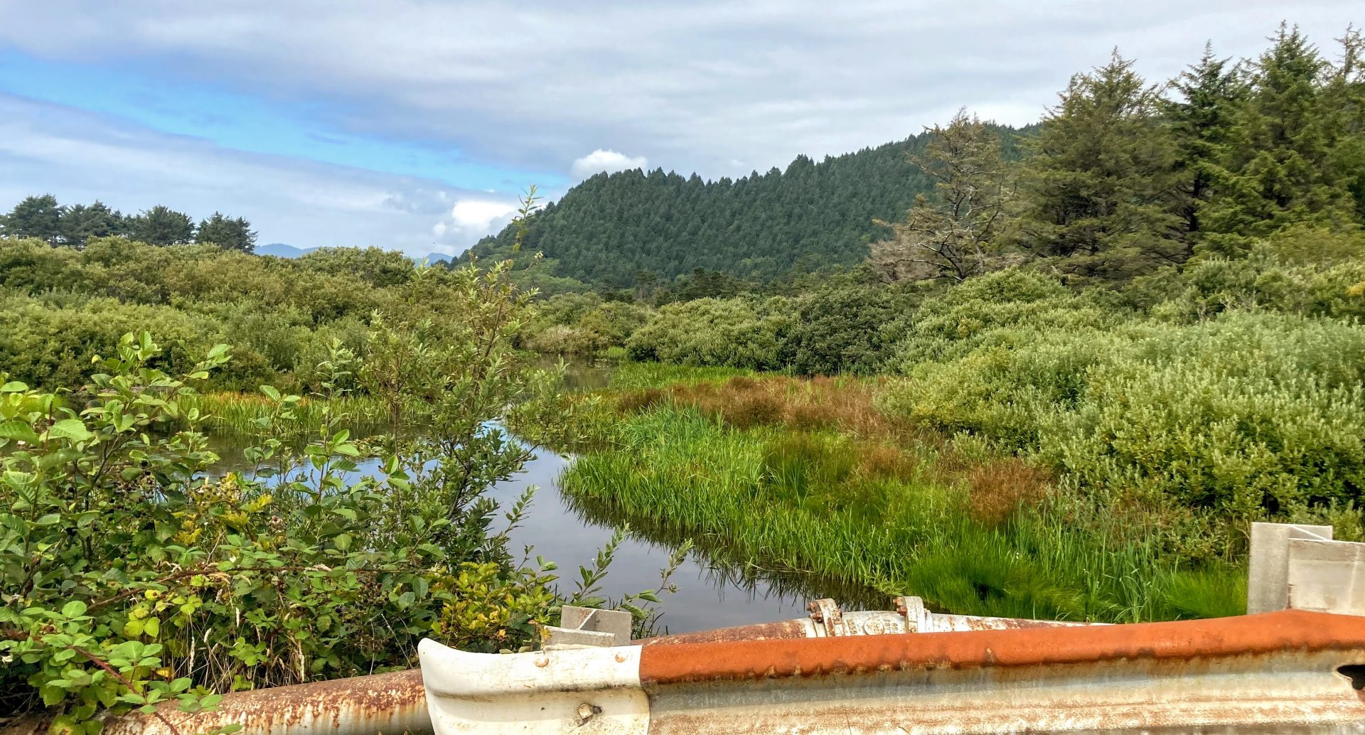
- Visit the Coyote Creek Nature Trail managed by the ODFW in the Fern Ridge Wildlife Area.
Check before you go:
- Maps and Suggested Routes: Download or print out a map before you go from the SWT Planner App. As a premium member, you can access an ever-growing library of paddling-related maps and suggested routes.
- Weather: Check the weather forecast and pay attention to the wind.
- Park Status: call Lane County Parks at 541-682-2000 or visit the website.
- Toxic algae blooms: This temporary condition occurs at some of the area lakes in the summer and may affect your health if water or fish is consumed during these conditions. Get more info on how to tell if algae is harmful and watch for water advisories but also use common sense if you see water that doesn’t look right.
- Water Temperature: Read the cold water safety page if you need more background info.
- Water level: The reservoir is allowed to fill starting 2/1. Over the summer, the water levels can drop several feet once the rains end. The reservoir is actively drained starting midSeptember. The Perkins Peninsula Park ramp lies at 368ft., Orchard Point 364 ft., Richardson Park 365 ft.
- Inspect your watercraft. You can help prevent the spread of aquatic invasive species by wiping off any vegetation or debris from your watercraft and making sure it is dry each time before entering a new waterway.
- PFD, Whistle, and Waterway Access Permit: In Oregon, all paddlecraft 10′ or longer (including SUPs, kayaks, and canoes) require a permit. You can purchase the permit online.
Beware that the routes and information on this site are just general guides and the best path may vary based on water level, obstructions, experience level, equipment, and other conditions. Paddlers are responsible for providing their own safety. Super Water Trails does not assume any liability.