

Skip ahead to check conditions
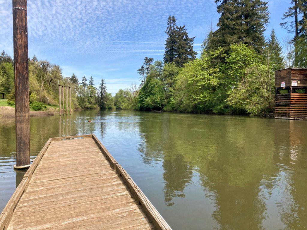
The Tualatin River starts in the Coast Range and takes a sinuous path eastward through farmlands, wetlands, and urban areas. The stretch from Hillsboro to West Linn, almost 40 river miles, has been designated a National Water Trail with multiple access points. On a typical summer or fall day, the current is slow enough along this stretch to be paddled easily in either direction.
You can enjoy this water trail by starting at any one of the Tualatin or surrounding area locations described here. Most of these spots are quite busy during the summer due to the convenient in-town locations. You can expect to see many kayaks, paddleboards, canoes, and floaties out on the water. Also, families with kids and first-timers should feel comfortable here.
Good to Know:
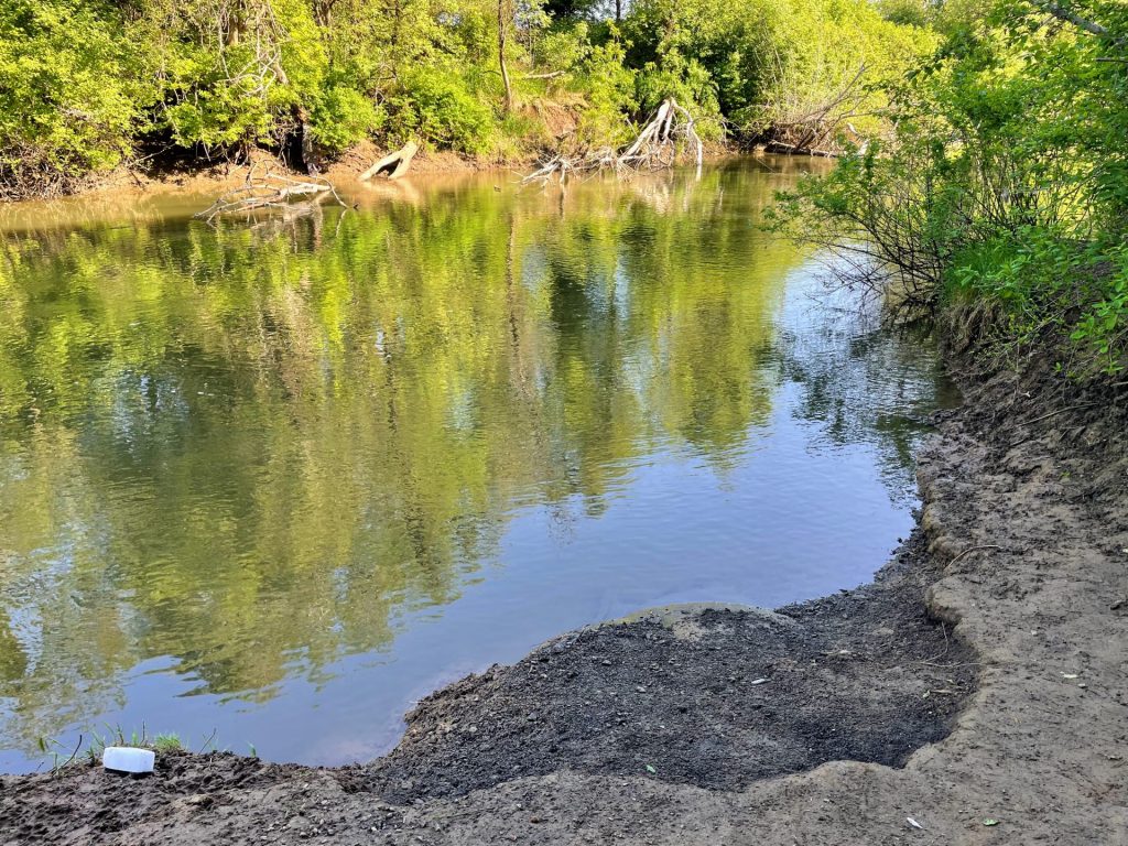
- During the rainy season, watch for increased flow which can create dangerous logjams.
- Boating restrictions on this stretch of Tualatin River: no towed watersports.
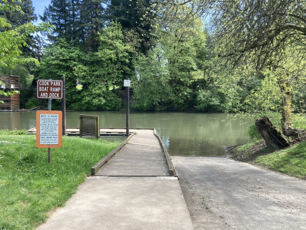
- Locations with summer rentals: Cook Park and Brown’s Ferry Park.
- There is a diversion dam located just south of the I-205 overpass that should be avoided. It has been associated with some dangerous incidents and should be avoided.
- There is a shallow area near Fanno Creek which may require a short portage over the rocks (between Cook Park and Tualatin Community Park).
Be prepared for a longer walk (about 1/4 mile) to access some of the launch sites, such as at Browns Ferry Park, Jurgens Park, and Farmington Landing.
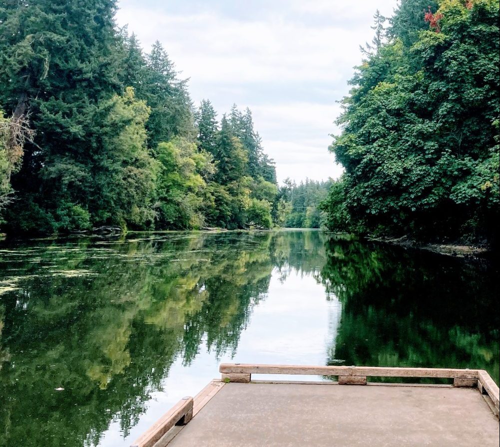
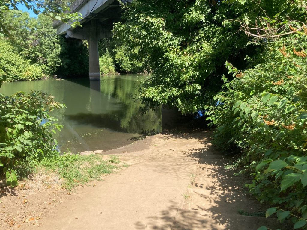
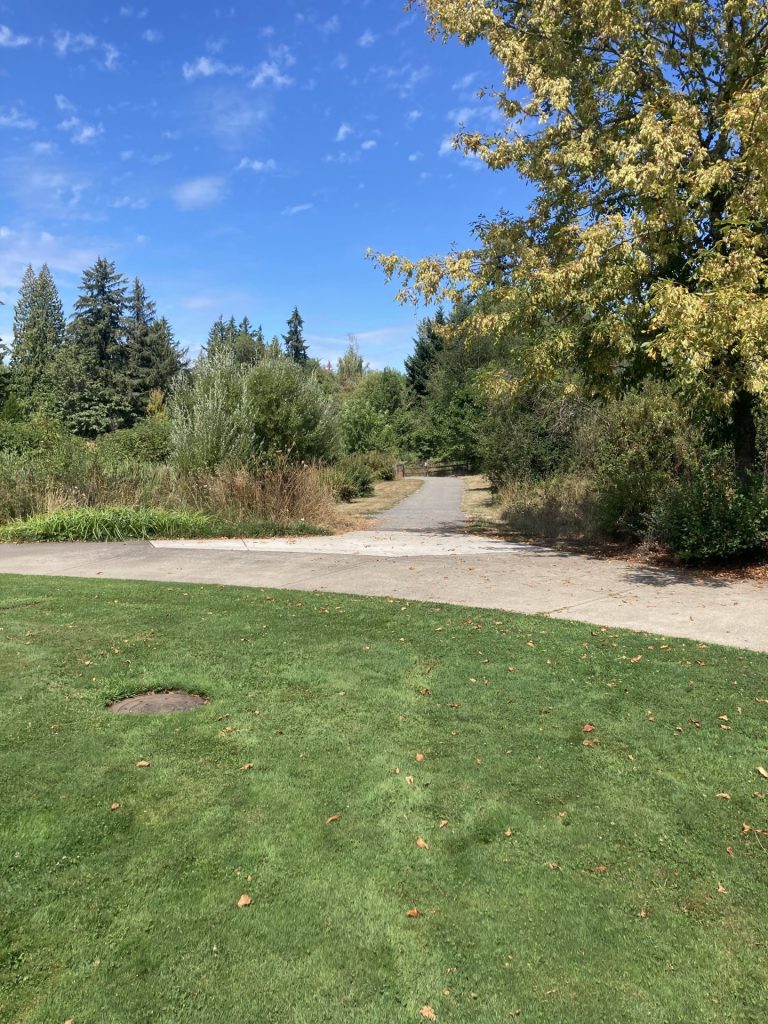
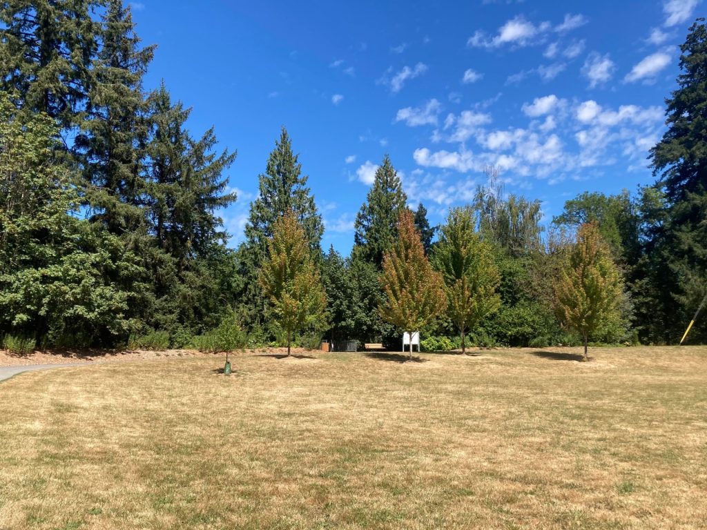
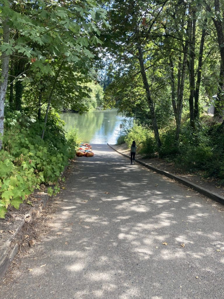
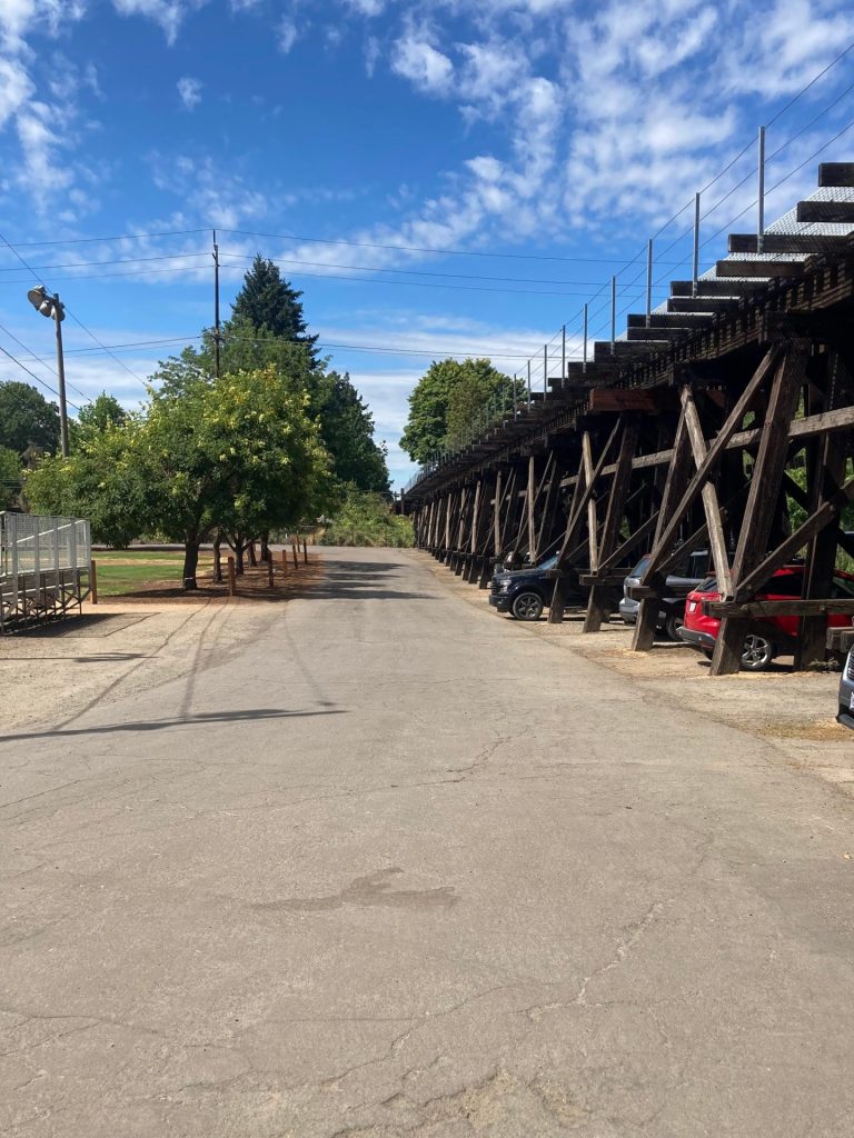
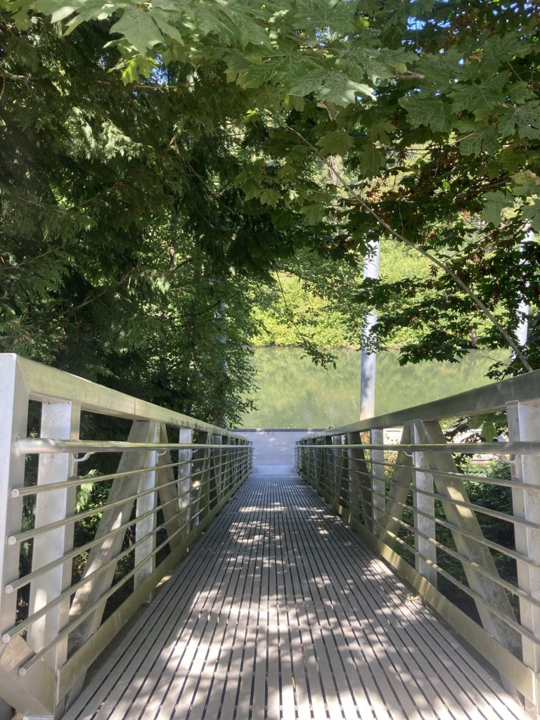
Gallery:


Check before you go:
- Maps and Suggested Routes: Download or print out a map before you go from the SWT Planner App. As a premium member, you can access an ever-growing library of paddling-related maps and suggested routes.
- Weather: Check the weather forecast for the area and check the wind conditions.
- Get the map: The Tualatin Riverkeepers provides an interactive map and a downloadable map showing the navigable sections of the water trail as well as amenities at different access points.
- River obstructions: Check the Tualatin Riverkeepers page for river safety tips and reported obstructions.
- Toxic algae blooms: This temporary condition occurs at some of the area lakes in the summer and may affect your health if water or fish is consumed during these conditions. Get more info on how to tell if algae is harmful and watch for water advisories but also use common sense if you see water that doesn’t look right.
- Inspect your watercraft. You can help prevent the spread of aquatic invasive species by wiping off any vegetation or debris from your watercraft and making sure it is dry each time before entering a new waterway.
- PFD, Whistle, and Waterway Access Permit: In Oregon, all paddlecraft 10′ or longer (including SUPs, kayaks, and canoes) require a permit. You can purchase the permit online.
Beware that the routes and information on this site are just general guides and the best path may vary based on water level, obstructions, experience level, equipment, and other conditions. Paddlers are responsible for providing their own safety. Super Water Trails does not assume any liability.


