Skip ahead to check conditions
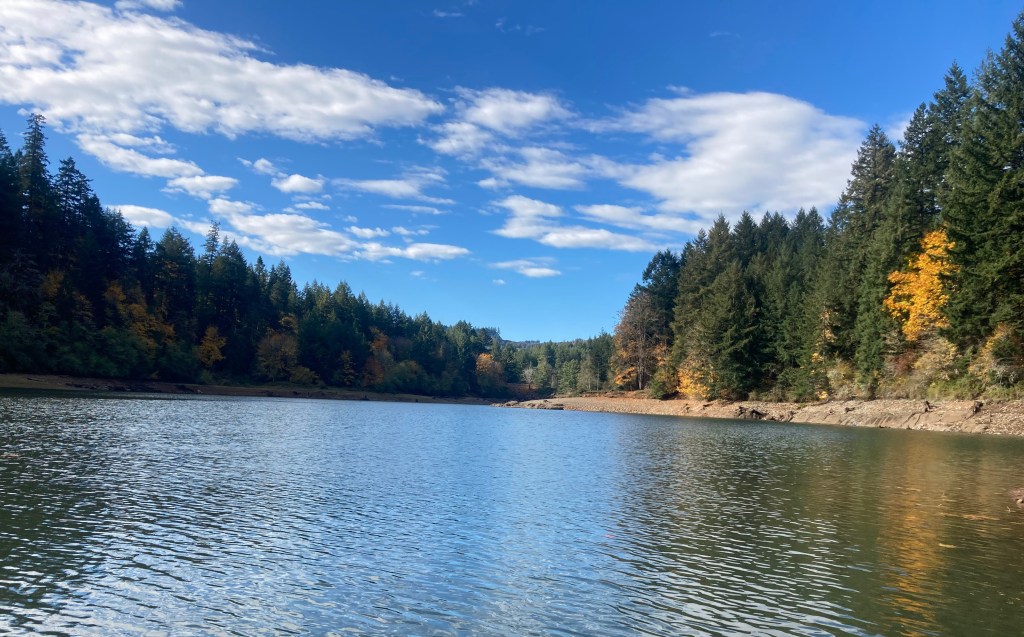
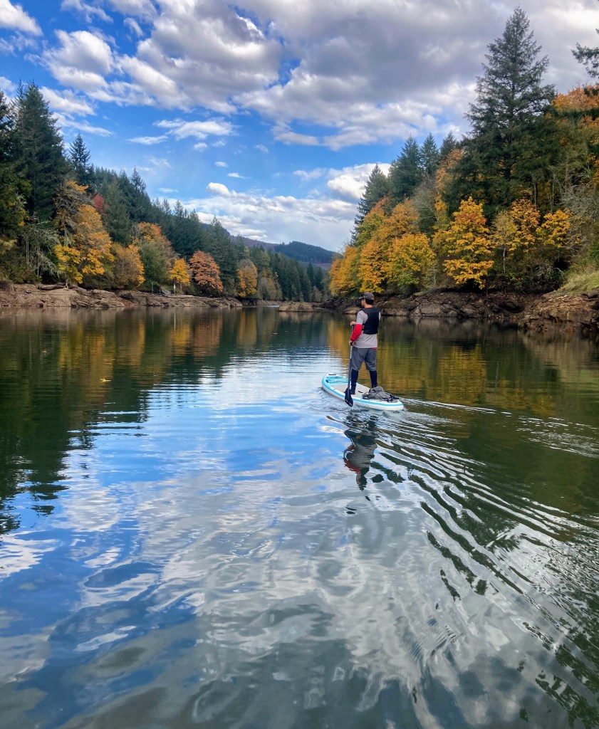
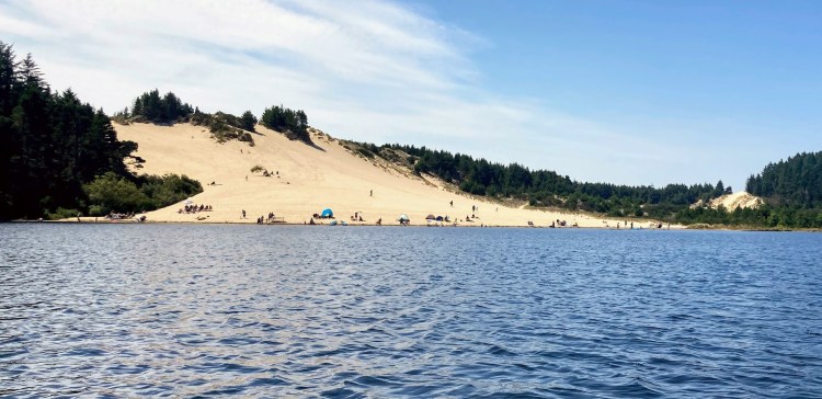
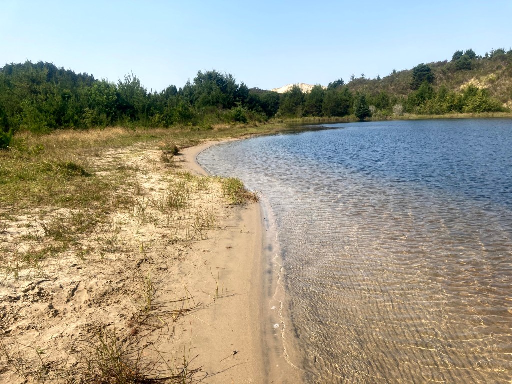
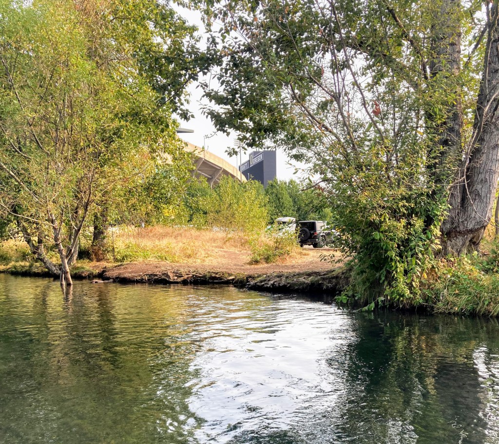
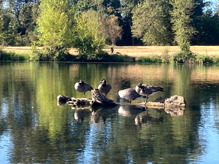
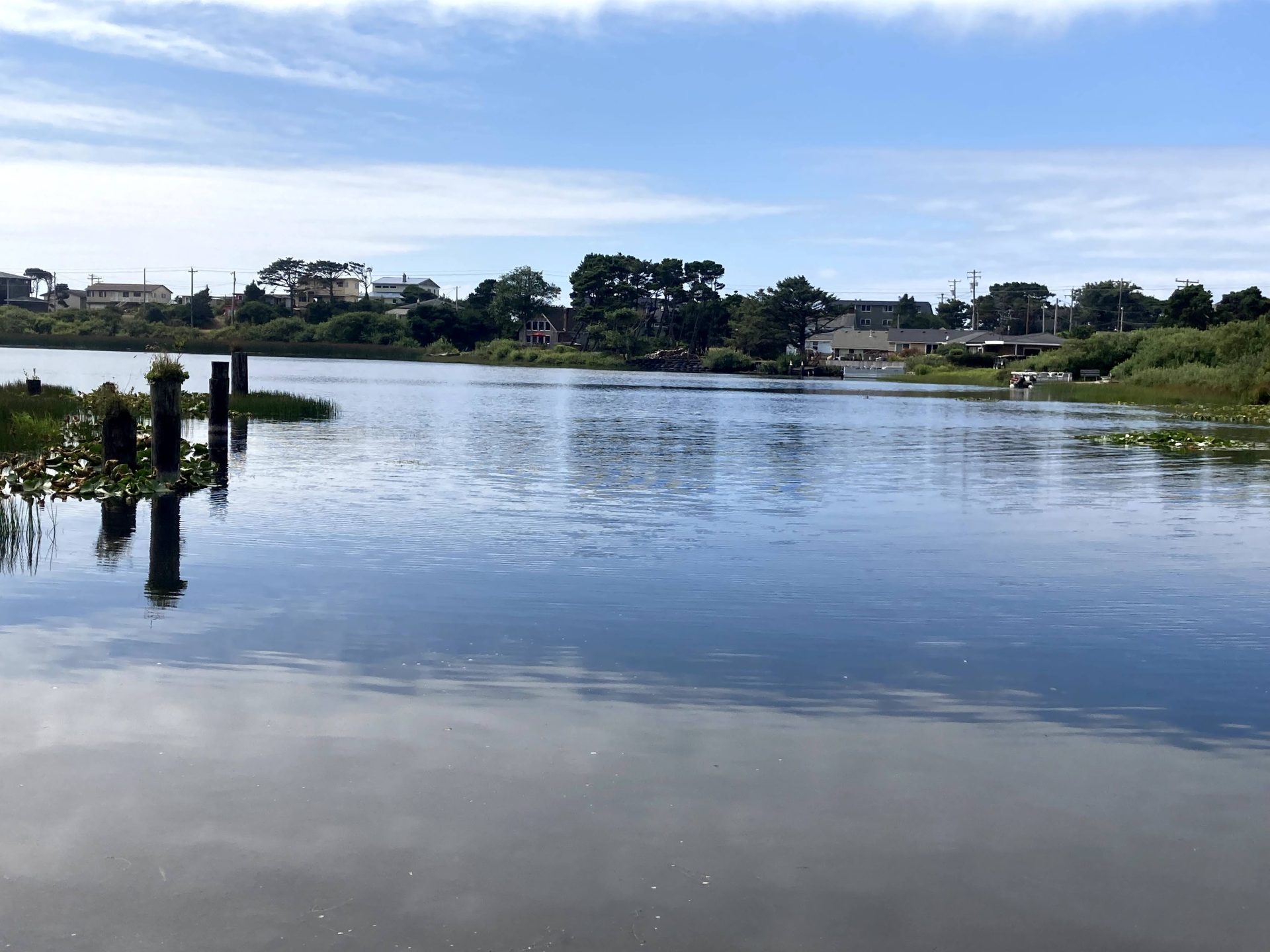
Lake Lytle is the largest of a string of small lakes along the Hwy 101 in Rockaway Beach that once formed a channel of the Nehalem River. The geologic history is similar to the sand dune lakes in Florence, such as Cleawox Lake or Woahink Lake.
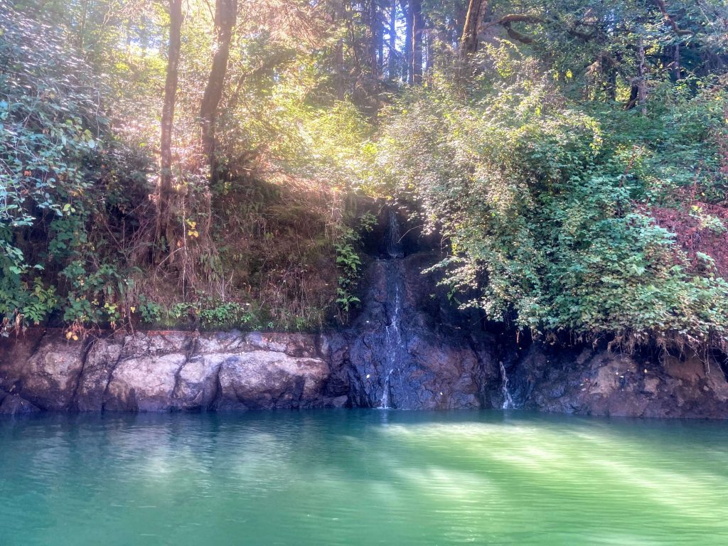
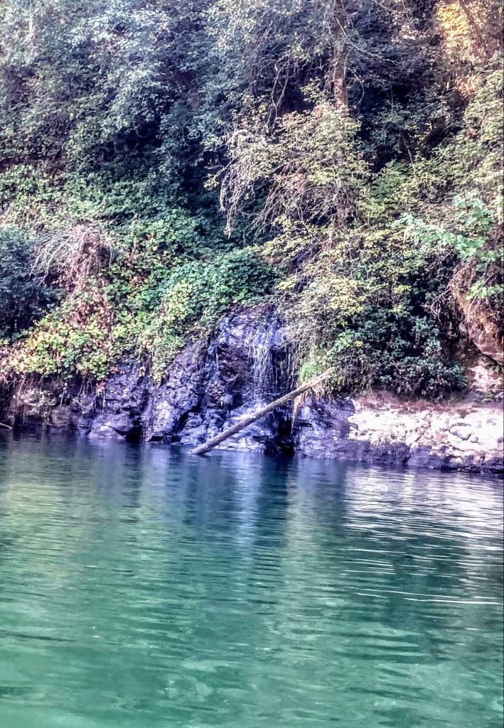
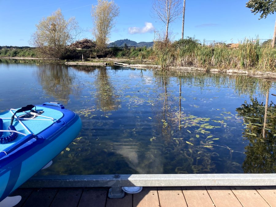
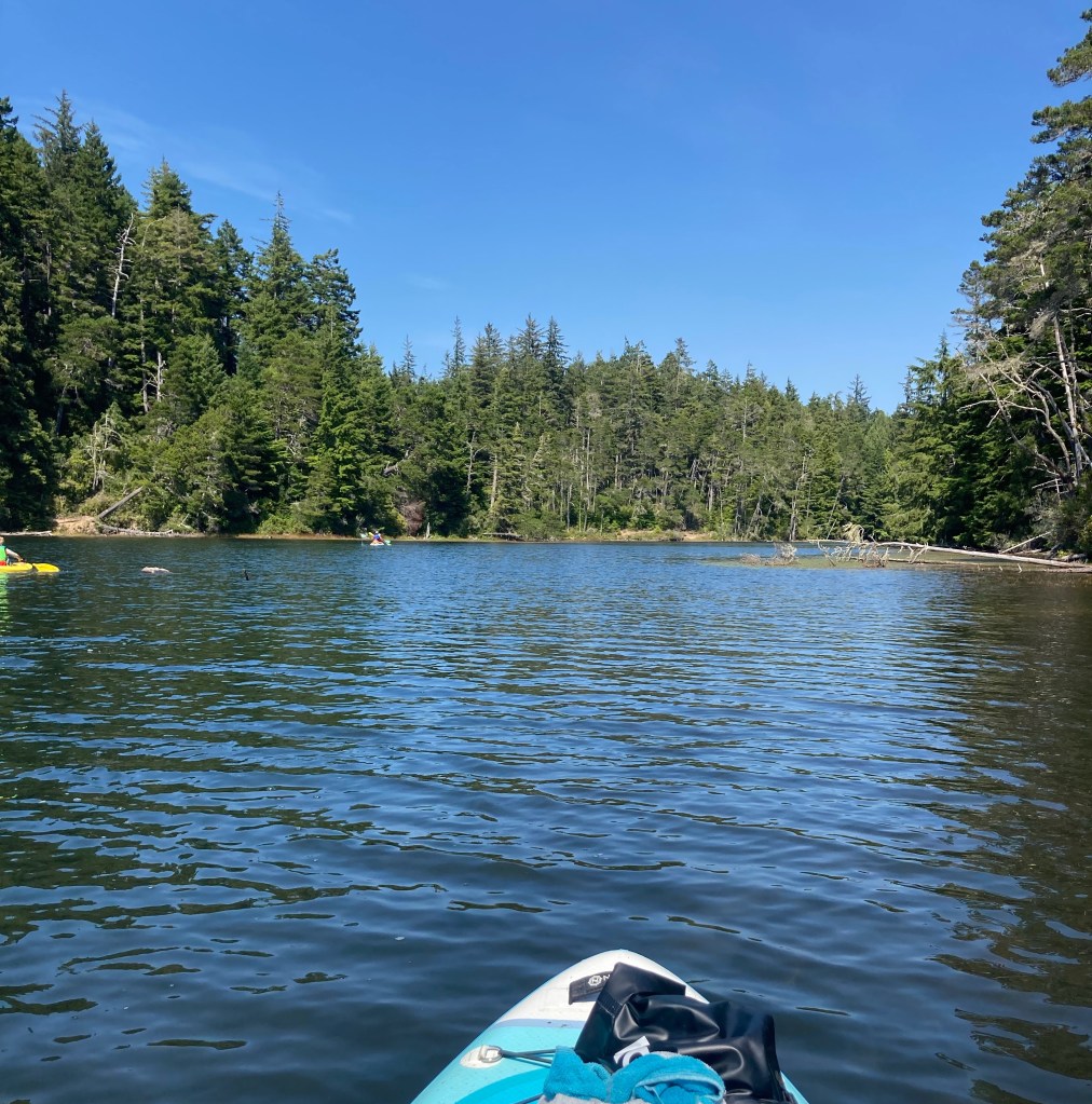
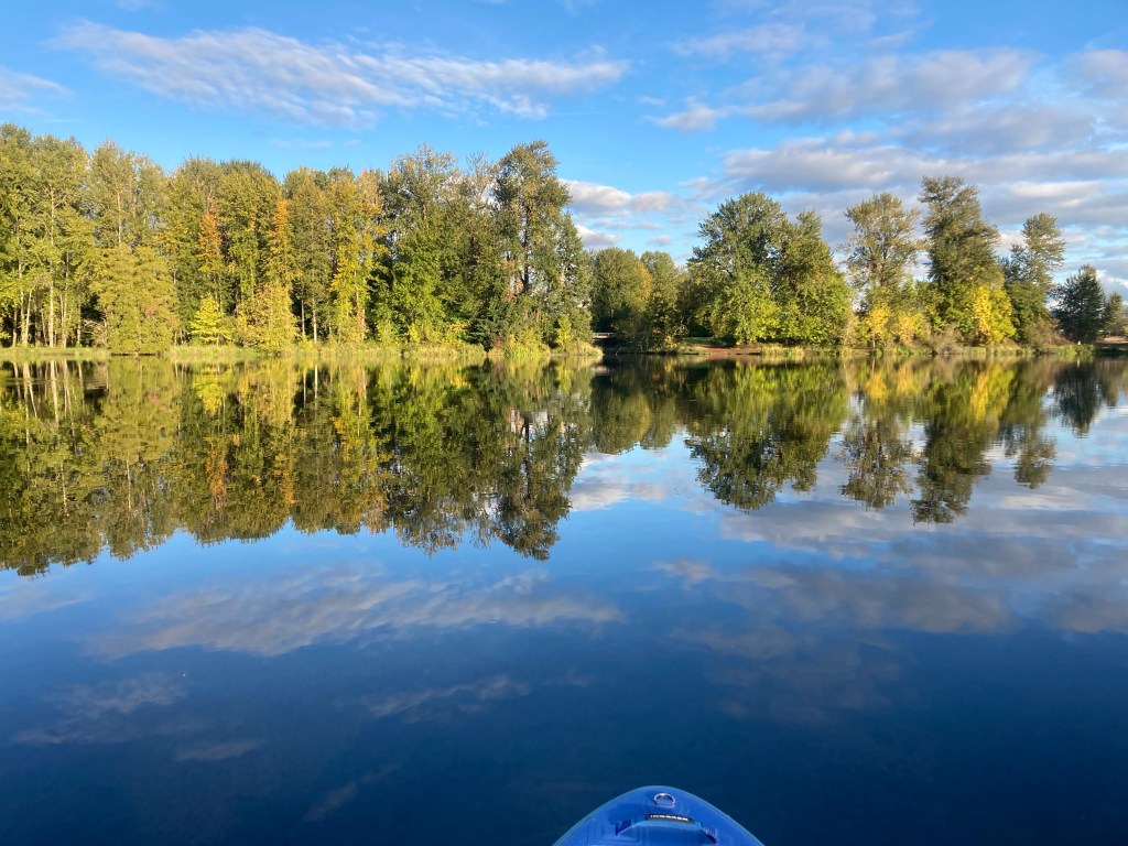
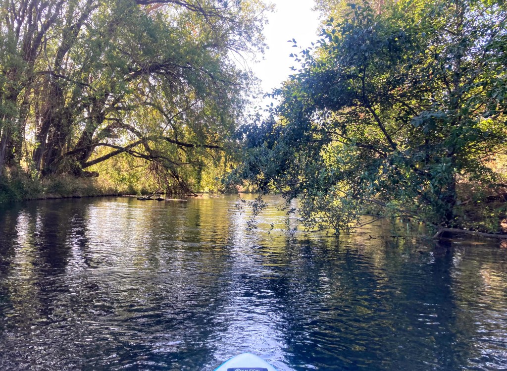
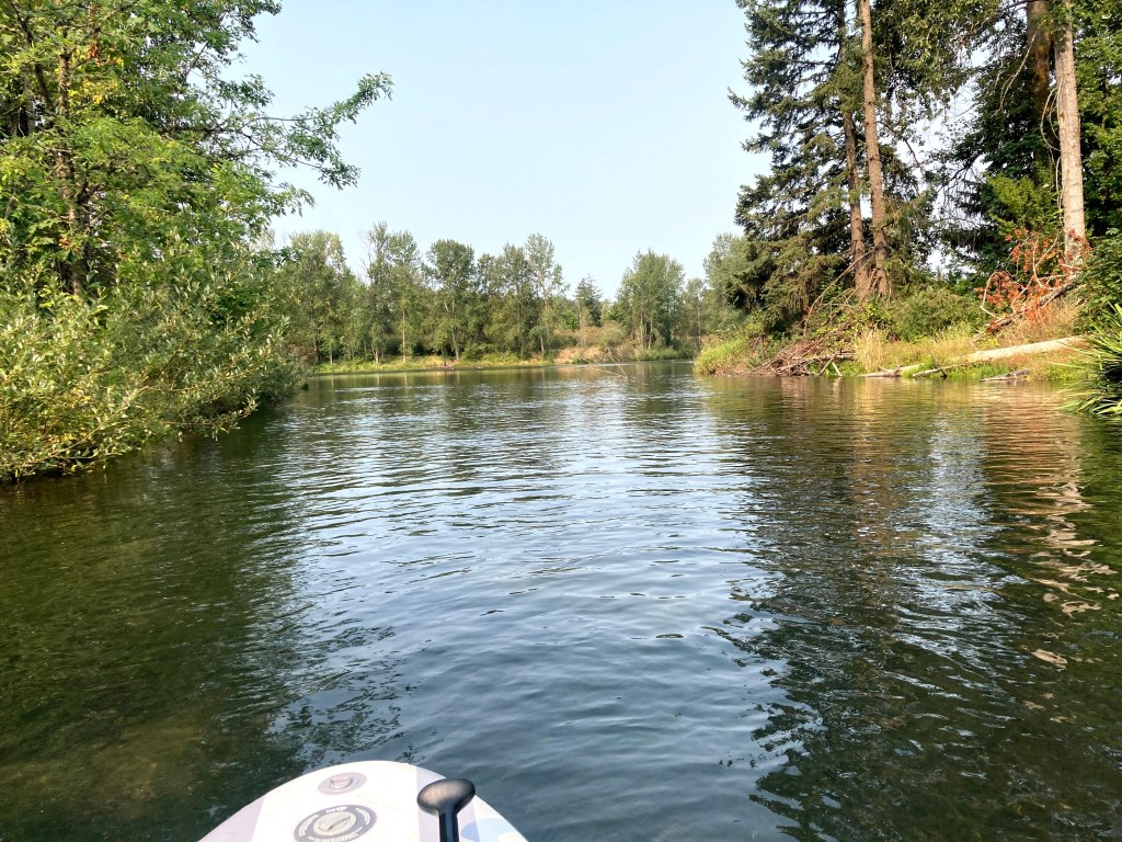
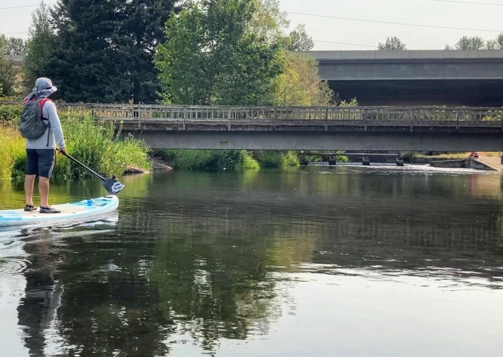
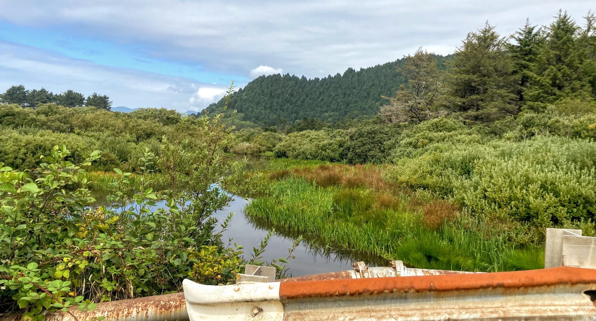
What makes this a fun place to visit is that you can paddle through a little canal to access Crescent Lake, which is a smaller motorboat-free lake. This is a family-friendly paddle due to the small size, a motorboat-free section, and places to pull over if needed. It is sheltered from wind somewhat and the entire lake averages only about 5 ft. deep. Consider paddling at this lake if winds pick up elsewhere or the timing of the tides isn’t right for paddling at the Nehalem.
Good to know:
- The cellular signal is average to poor here.
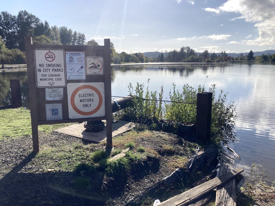
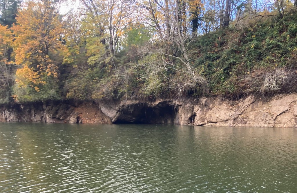
- Although the main lake has no speed restrictions, you can paddle through a small channel into a smaller lake.


Driving Directions:
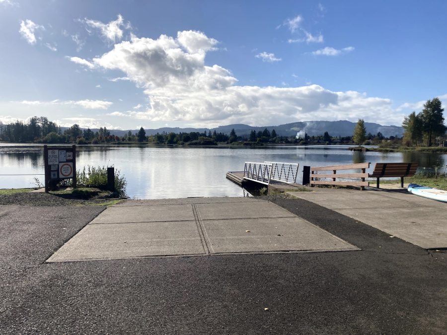
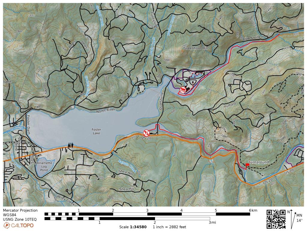
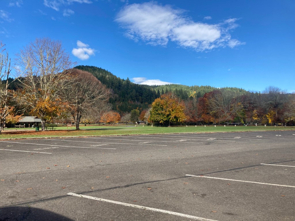
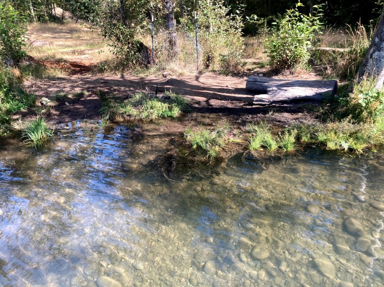
Parking:
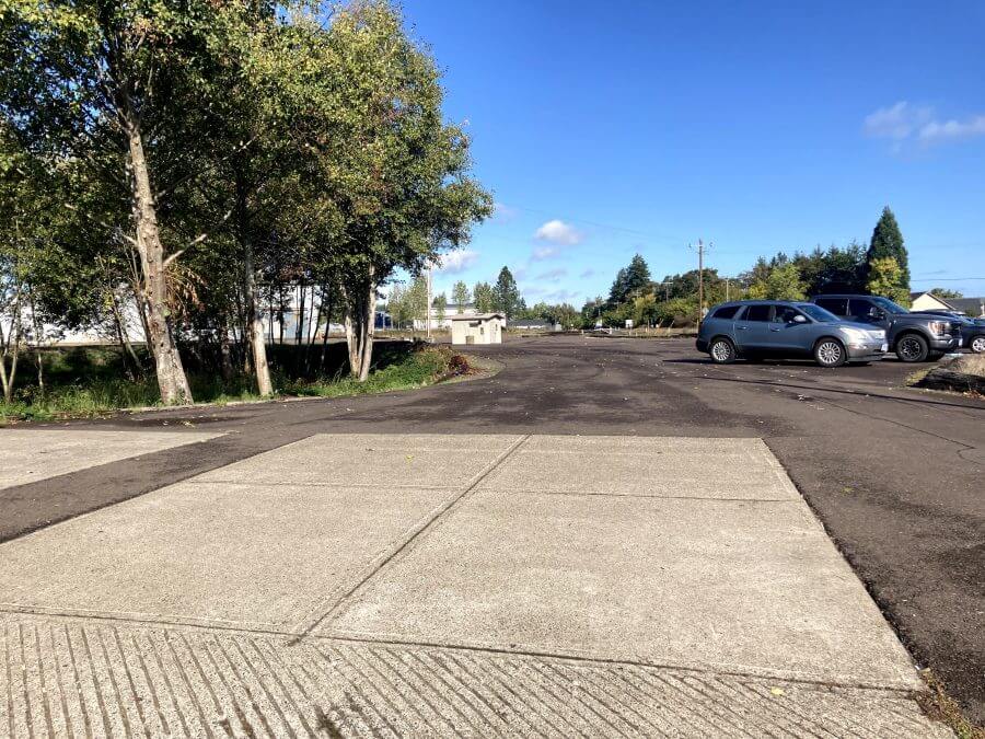
The parking lot for the county boat ramp is on 12 th st.
An alternate parking spot might be on the side of Highway 101 near the fishing dock.
More things to do:
- Here are some ideas of things to do while you are visiting Rockaway Beach.
Check before you go:
- Maps and Suggested Routes: Download or print out a map before you go from the SWT Planner App. As a premium member, you can access an ever-growing library of paddling-related maps and suggested routes.
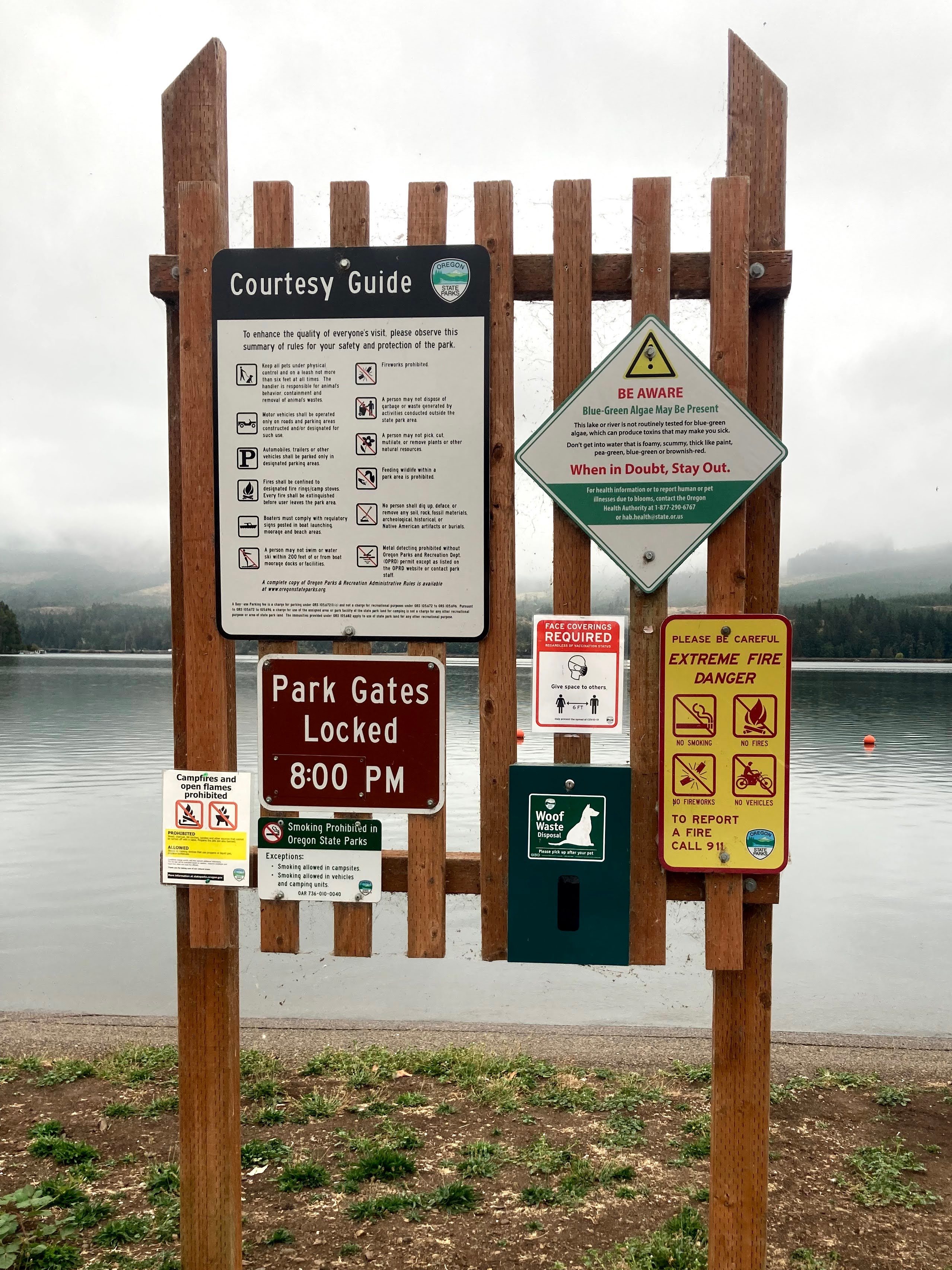
- Parking fee: the day use fee is $10 or purchase the Tillamook County Annual pass. This pass can also be used at other Tillamook County boat launches.
- Weather: Check the weather forecast and pay attention to the wind.
- Inspect your watercraft. You can help prevent the spread of aquatic invasive species by wiping off any vegetation or debris from your watercraft and making sure it is dry each time before entering a new waterway.
- PFD, Whistle, and Waterway Access Permit: In Oregon, all paddlecraft 10′ or longer (including SUPs, kayaks, and canoes) require a permit. You can purchase the permit online.
Beware that the routes and information on this site are just general guides and the best path may vary based on water level, obstructions, experience level, equipment, and other conditions. Paddlers are responsible for providing their own safety. Super Water Trails does not assume any liability.