Skip ahead to check conditions
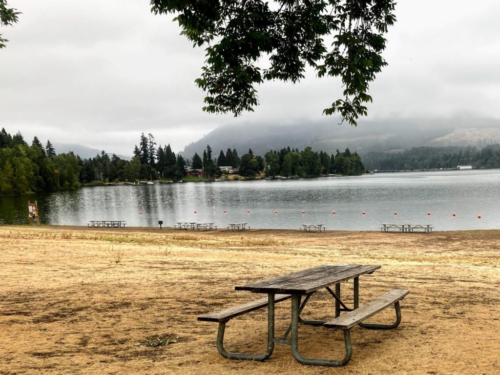
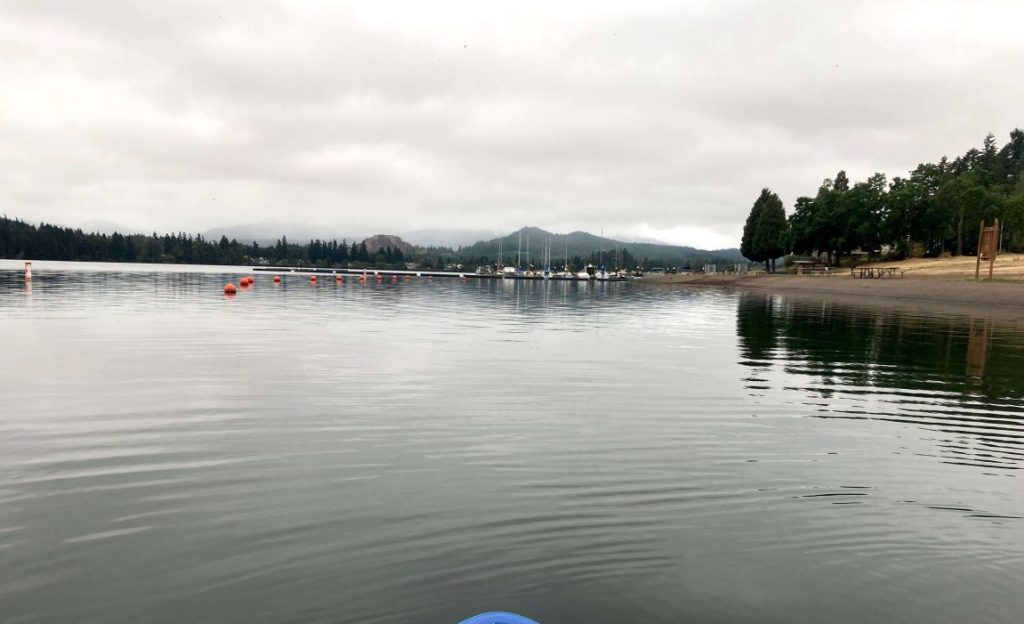
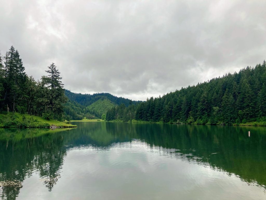
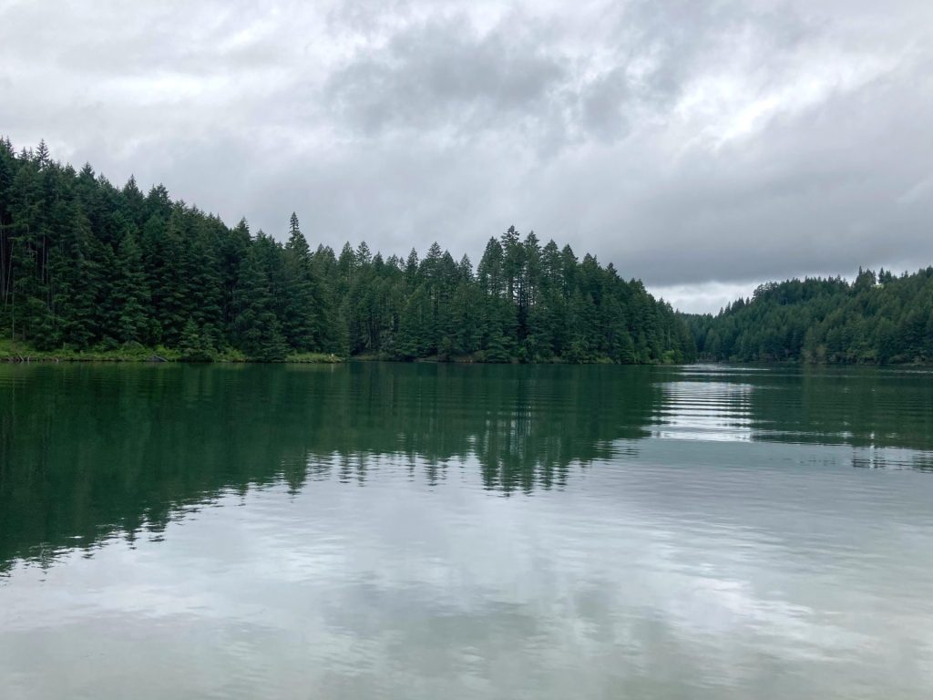
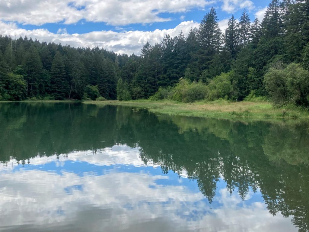
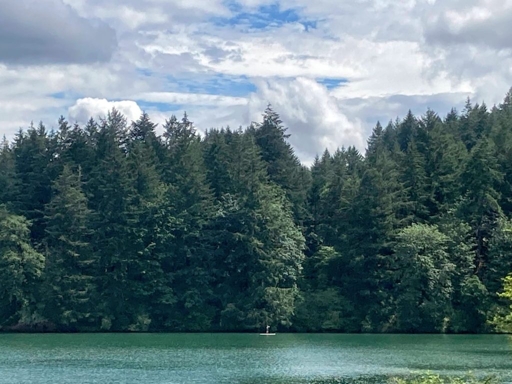
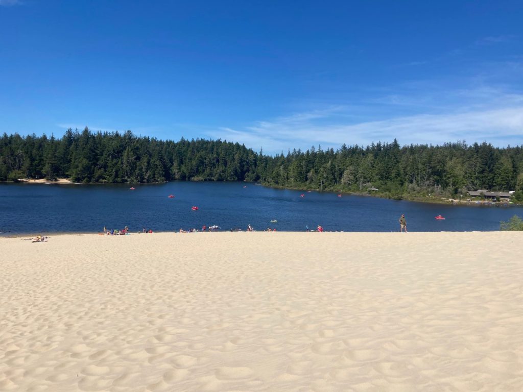
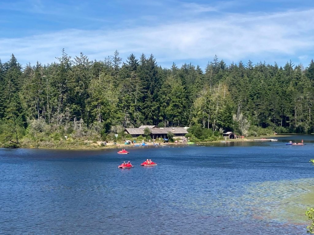
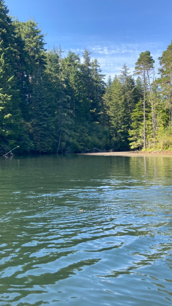
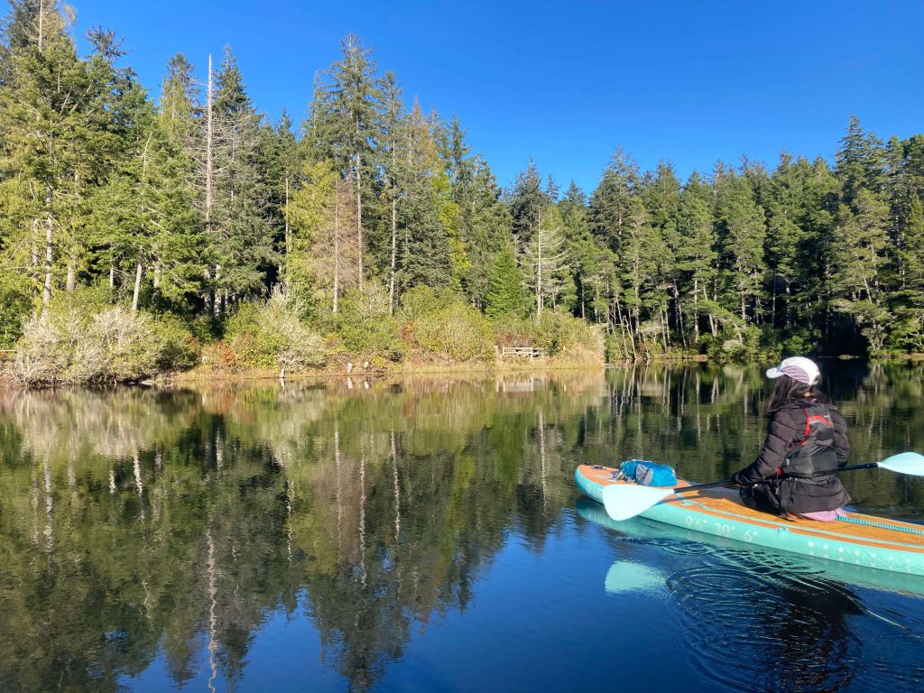
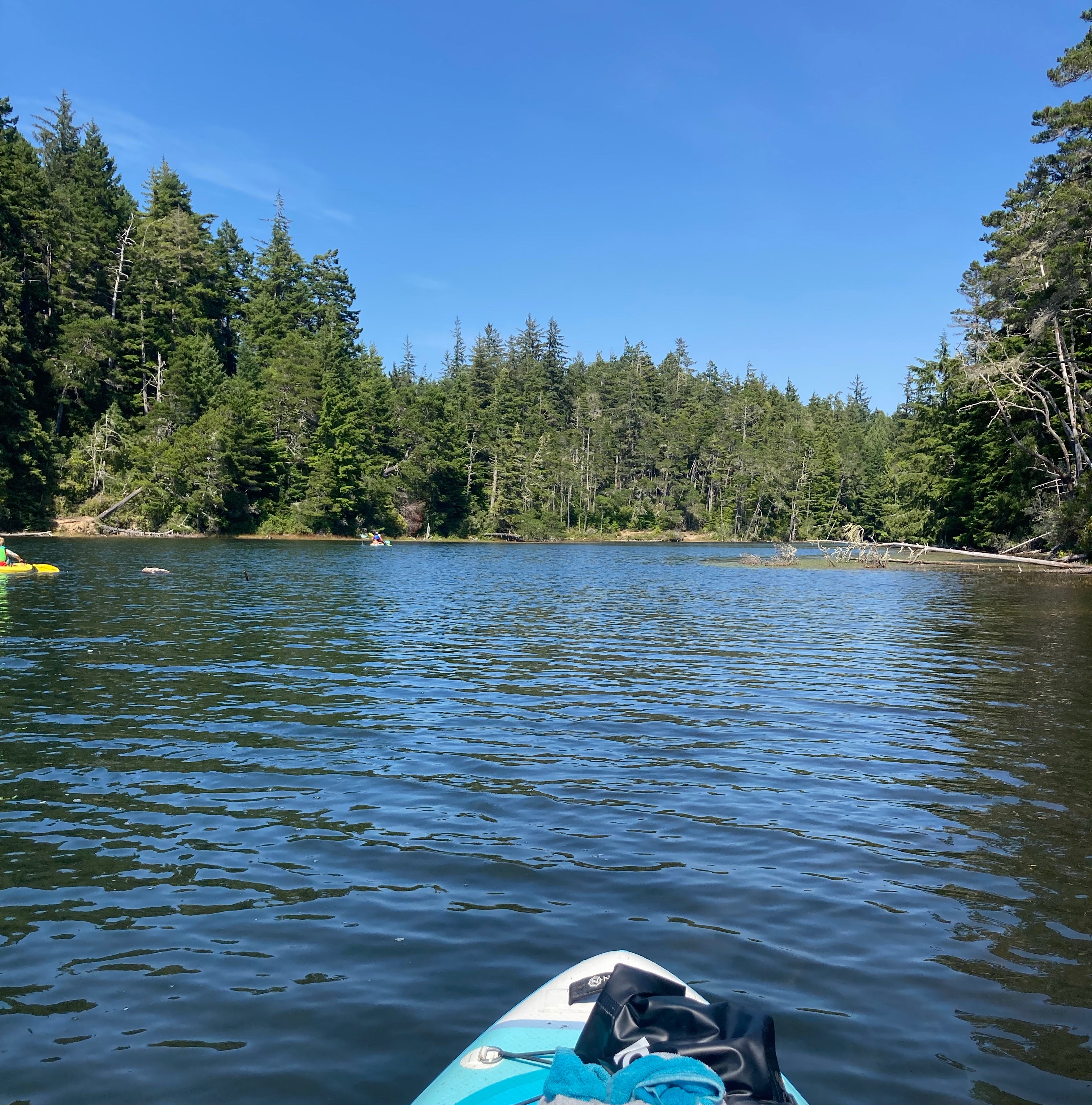
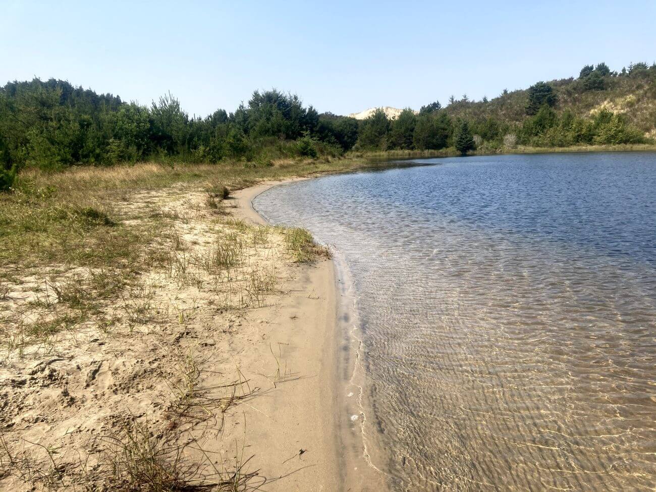
Cleawox Lake is an 87-acre coastal dune lake located just a few miles south of Florence. It is one of our family favorites because you can spend an entire day here paddling, swimming, playing on the beach and of course, charging up that giant sand dune. In addition, the shallow beach area in front of the sand dune is a great place for kids and beginners to play around. Another plus, no high speed motorboats or water-skiers to avoid at this lake.
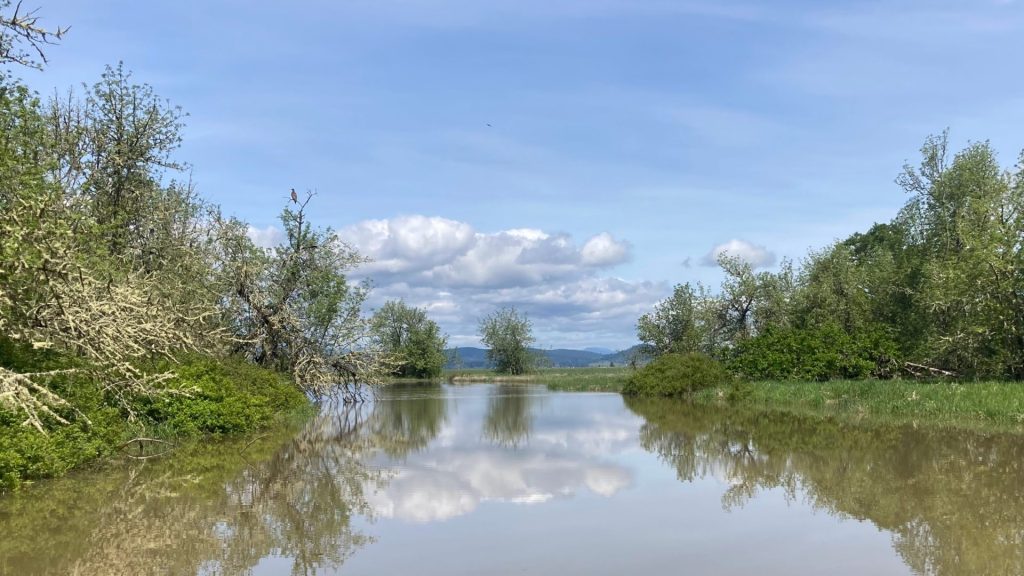
Aside from a few surface streams, most of the water just seeps into Cleawox Lake. Thus, the water clarity is very good here and it is great fun to see the fish darting around below you. Water temperature in the summer reaches the 70’s, which is a little warmer than the other coastal lakes nearby.
Good to know:
- In the summertime, check the forecast for windy conditions and especially watch out for afternoon winds.
- This location is open year-round. On a sunny winter day when the valley is socked in with fog, it is good to know that paddling at Cleawox may still be a nice option.
Jessie Honeyman Memorial State Park
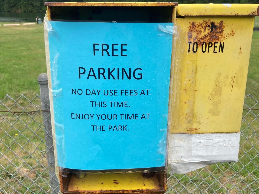
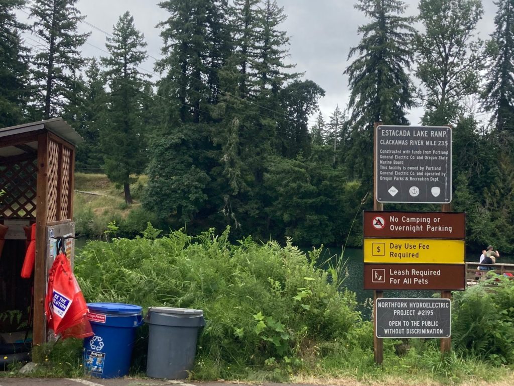
- Parking fee: day use fee (purchase on site) or Oregon State Parks pass
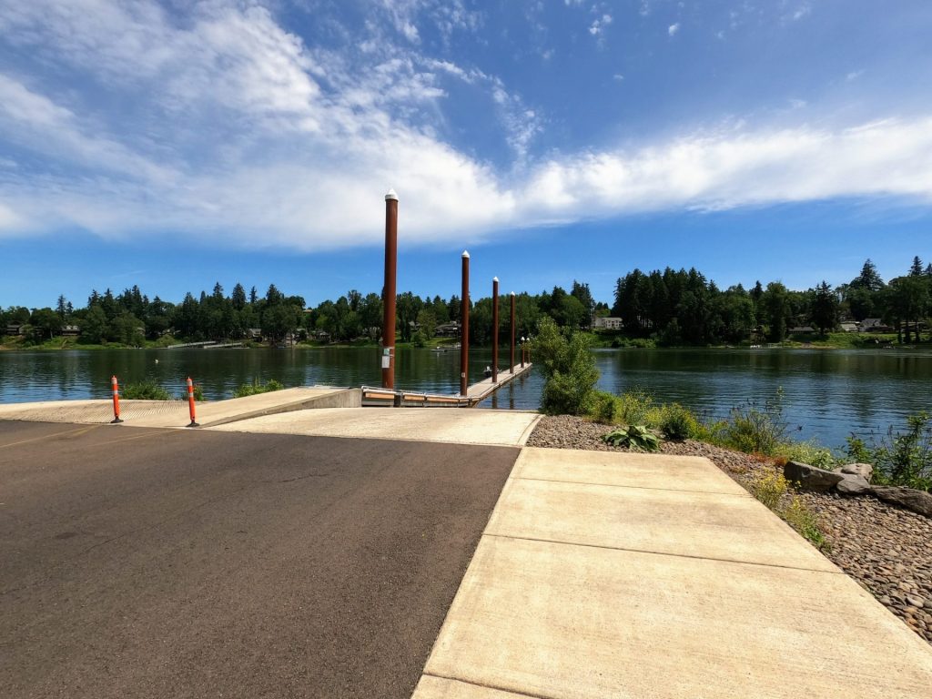
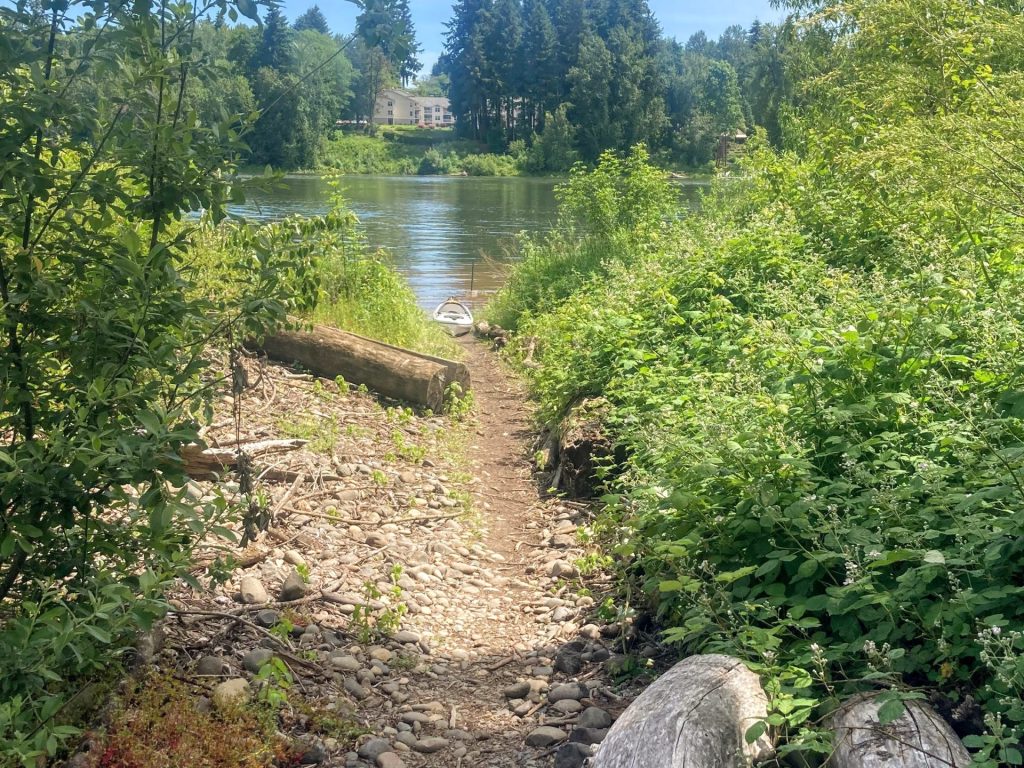
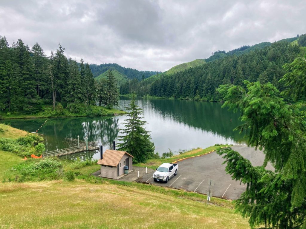
- Launch type: boat ramp, beach
- Restrooms: flush
- Open: year-round
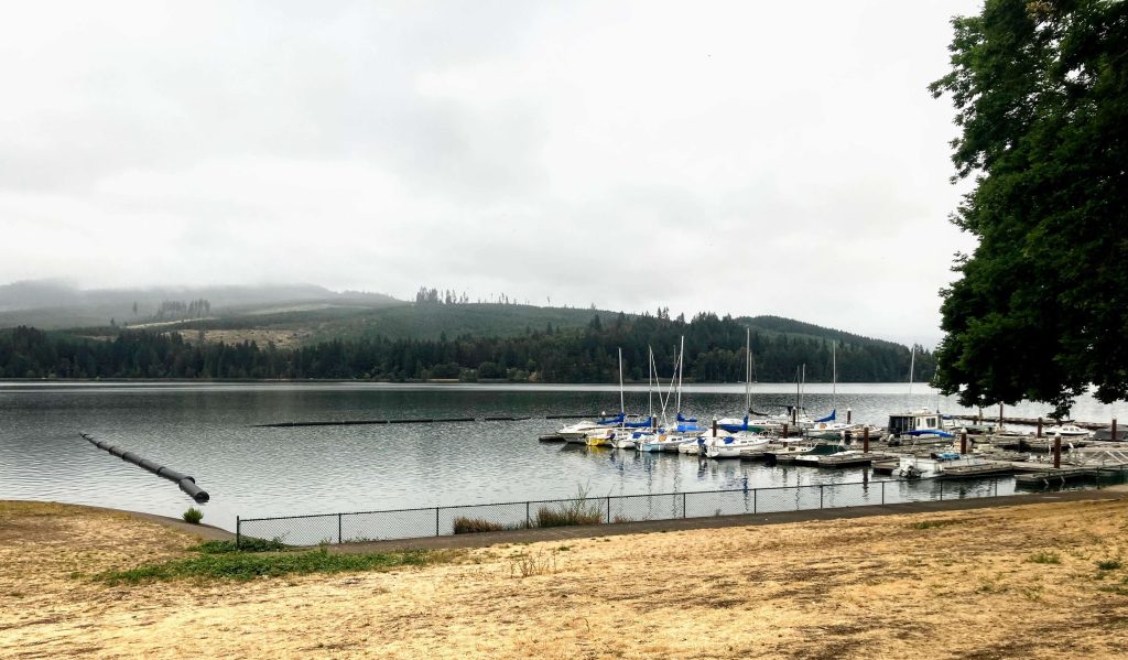
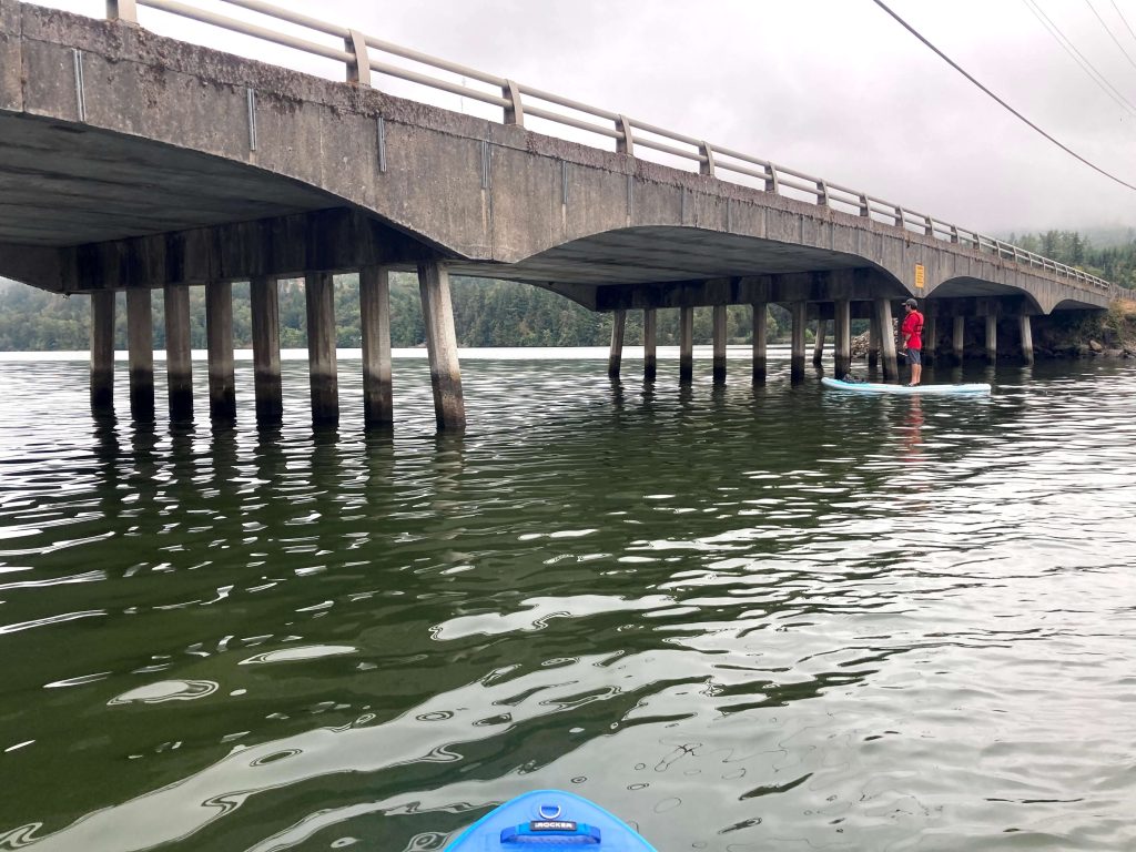
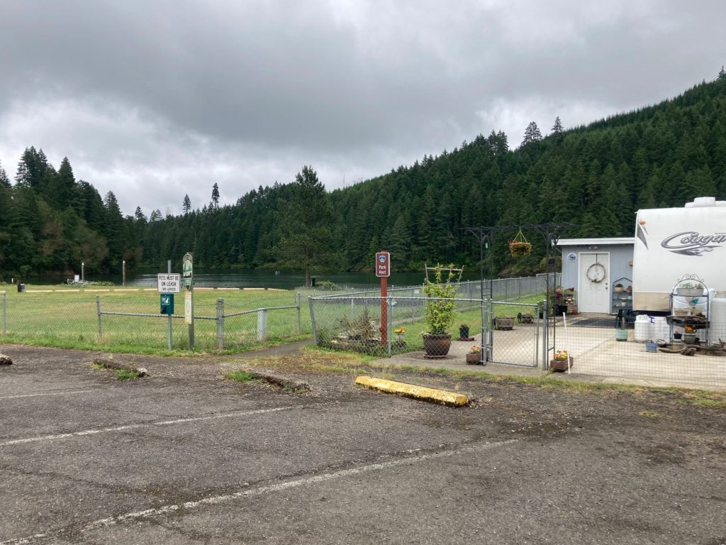
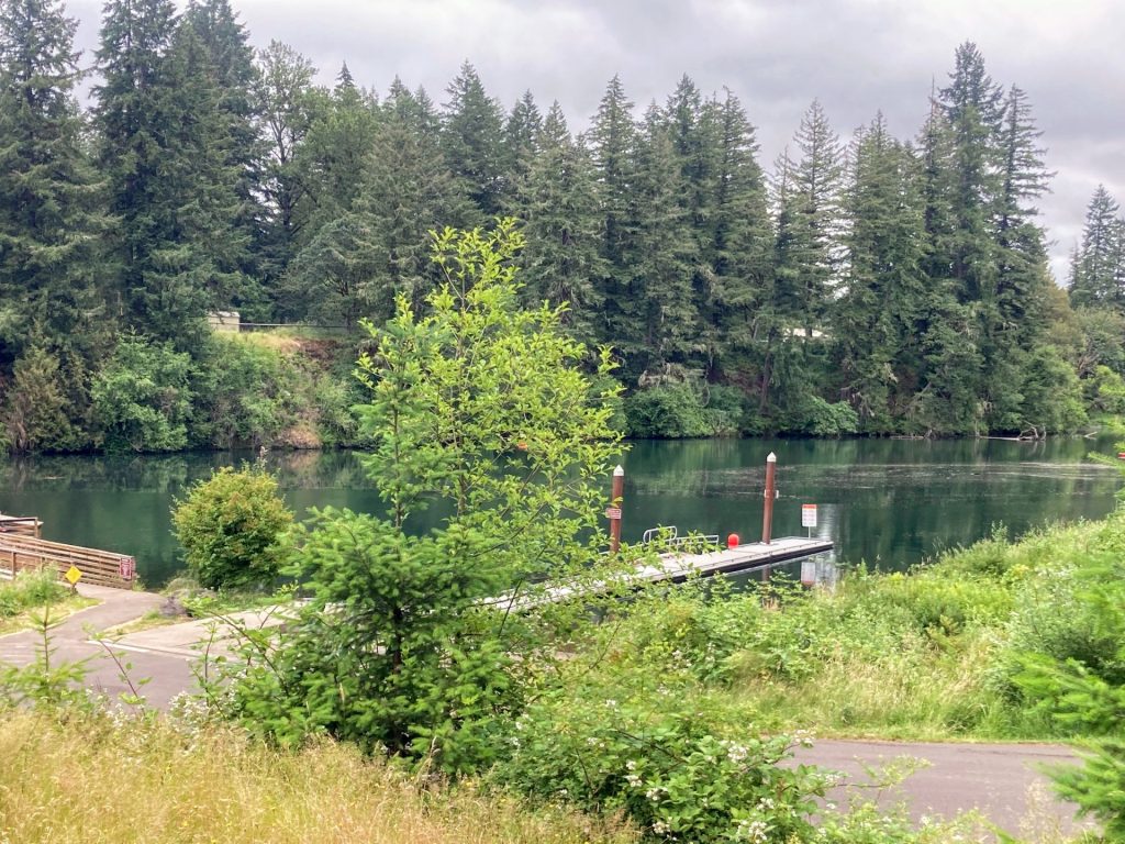
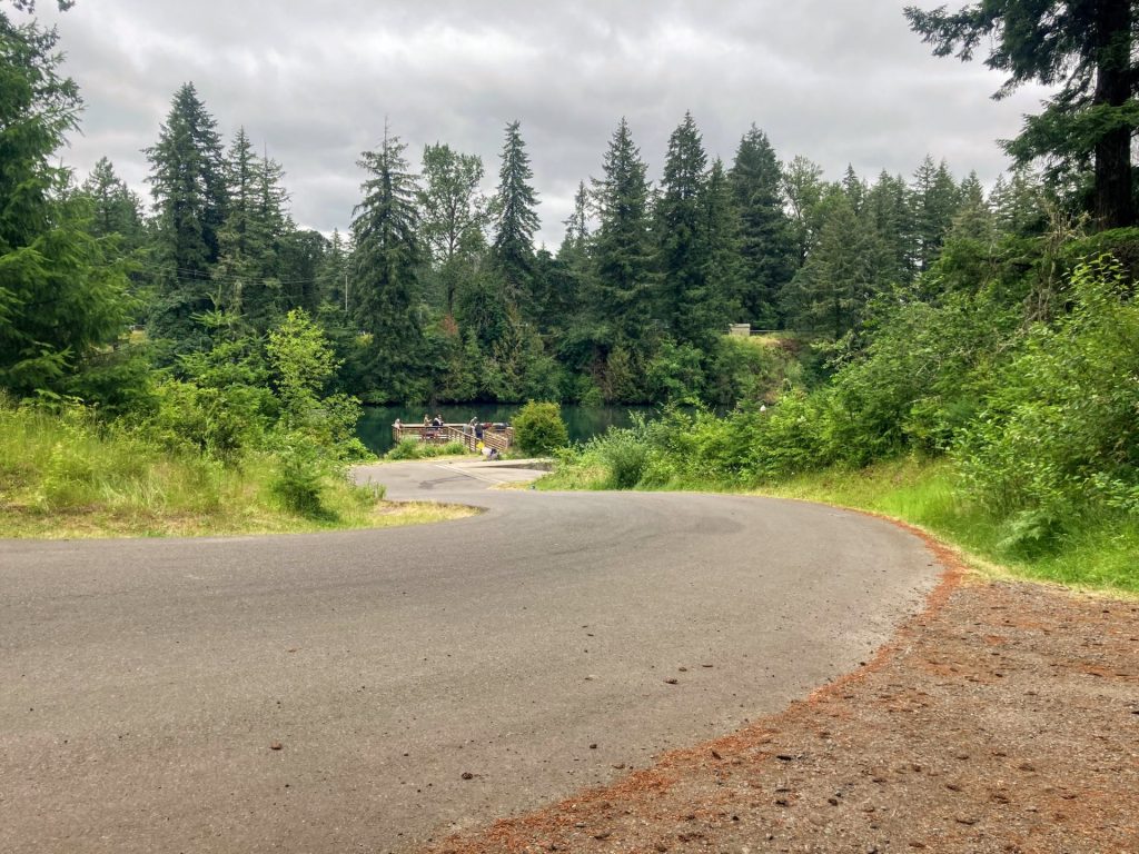
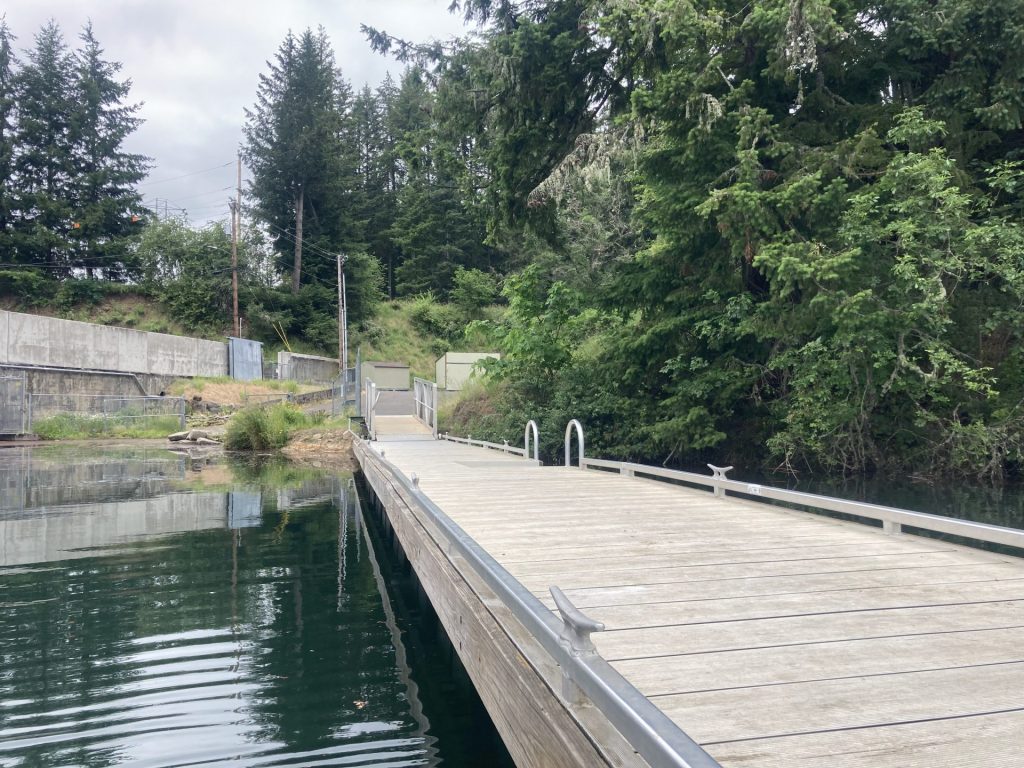
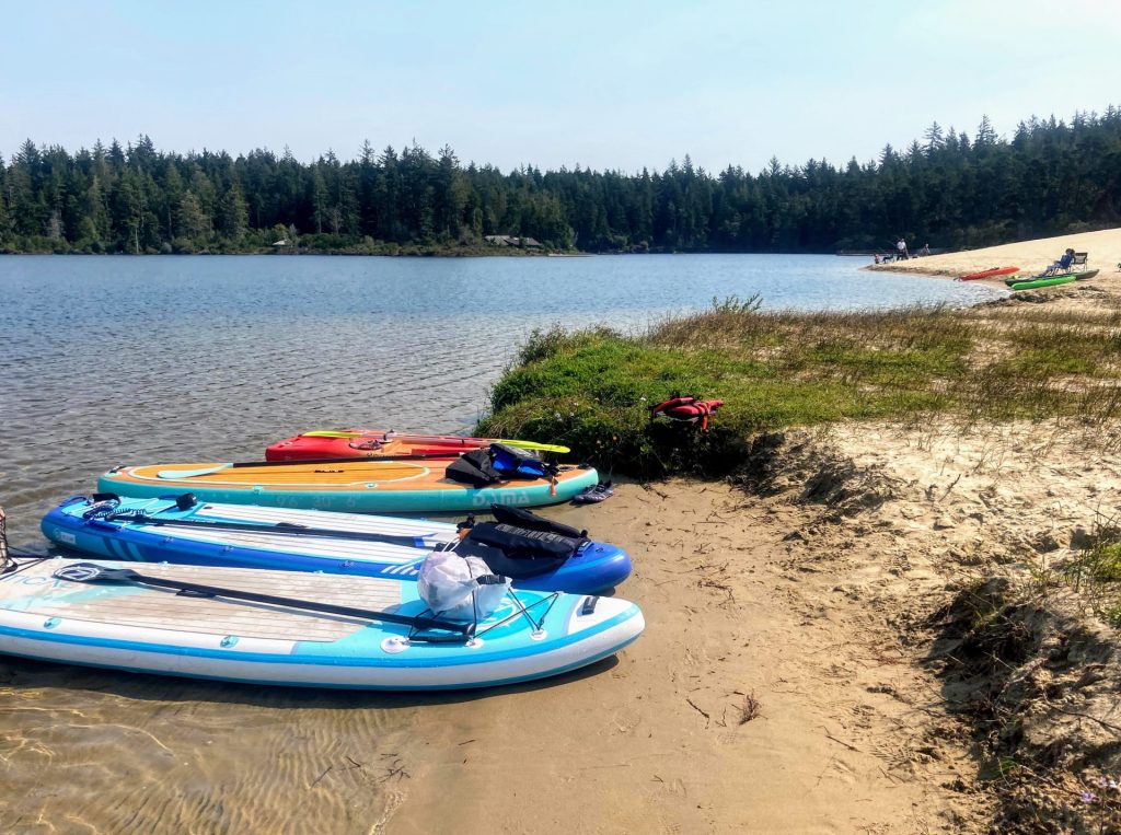
After you enter the state park there are two day use areas to choose from- Honeyman to the left and Cleawox to the right. Both areas require a day use fee or an Oregon State Parks day pass for parking (or campground reservation). There are also restroom facilities, picnic areas, and shallow beach areas for swimming or paddle launches at both day use areas. But you will be closer to the sand dune if you park at Honeyman and you will be closer to the boat rentals if you park on the Cleawox side. The boat ramp is located on the Cleawox Day Use side, almost immediately after turning right. There is also a small launch with steps at the far north end of Cleawox Day Use parking lot, as well as plenty of sandy beach for launching.
Driving Directions:
Additional things to do:
- Hike the sand dunes. Oregonhikers.org describes the hiking trails in this area in detail and hiking around sand dunes can be tricky.
- Visit Woahink Lake on the other side of Hwy 101 for more paddling.
- Camp at Honeyman, the 2nd largest campground in Oregon and provides easy access to the lake. It has a lot of tent sites, RV sites, and yurts.
- You can use your day use parking permit to park at the Heceta Head Lighthouse parking lot. It is a short hike from there to one of the most photographed lighthouses on the coast. For a longer hike, continue past the lighthouse to take the Hobbit Trail to visit Hobbit Beach.
Check before you go:
- Maps and Suggested Routes: Download or print out a map before you go from the SWT Planner App. As a premium member, you can access an ever-growing library of paddling-related maps and suggested routes.
- Weather: Check the weather forecast and pay attention to the wind.
- Park status: check the Jessie Honeyman State Park website for current park conditions or to book a spot at the campground.
- Inspect your watercraft. You can help prevent the spread of aquatic invasive species by wiping off any vegetation or debris from your watercraft and making sure it is dry each time before entering a new waterway.
- PFD, Whistle, and Waterway Access Permit: In Oregon, all paddlecraft 10′ or longer (including SUPs, kayaks, and canoes) require a permit. You can purchase the permit online.
Beware that the routes and information on this site are just general guides and the best path may vary based on water level, obstructions, experience level, equipment, and other conditions. Paddlers are responsible for providing their own safety. Super Water Trails does not assume any liability.