Paddling Locations

Turner Lake

Skip ahead to check conditions

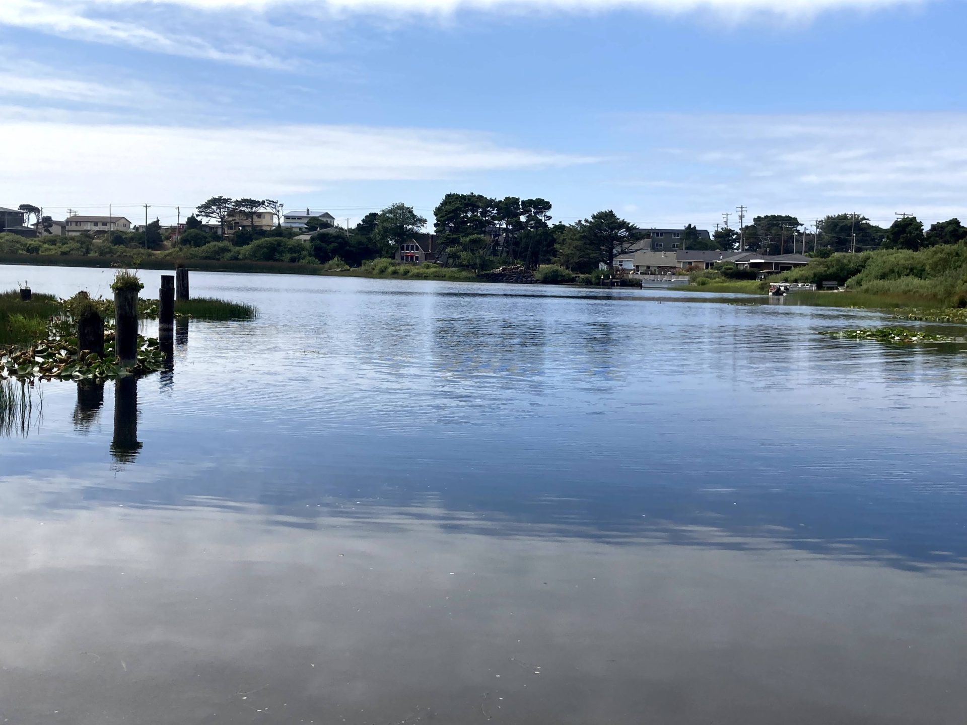
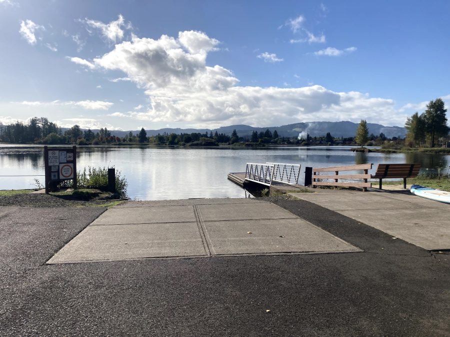
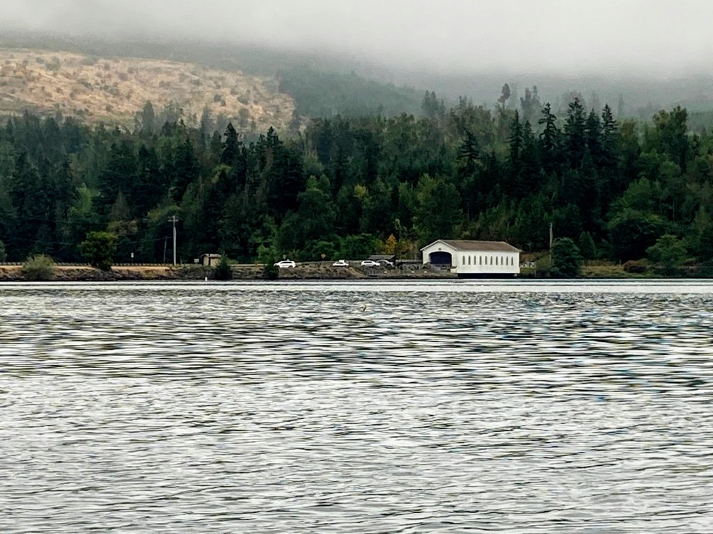
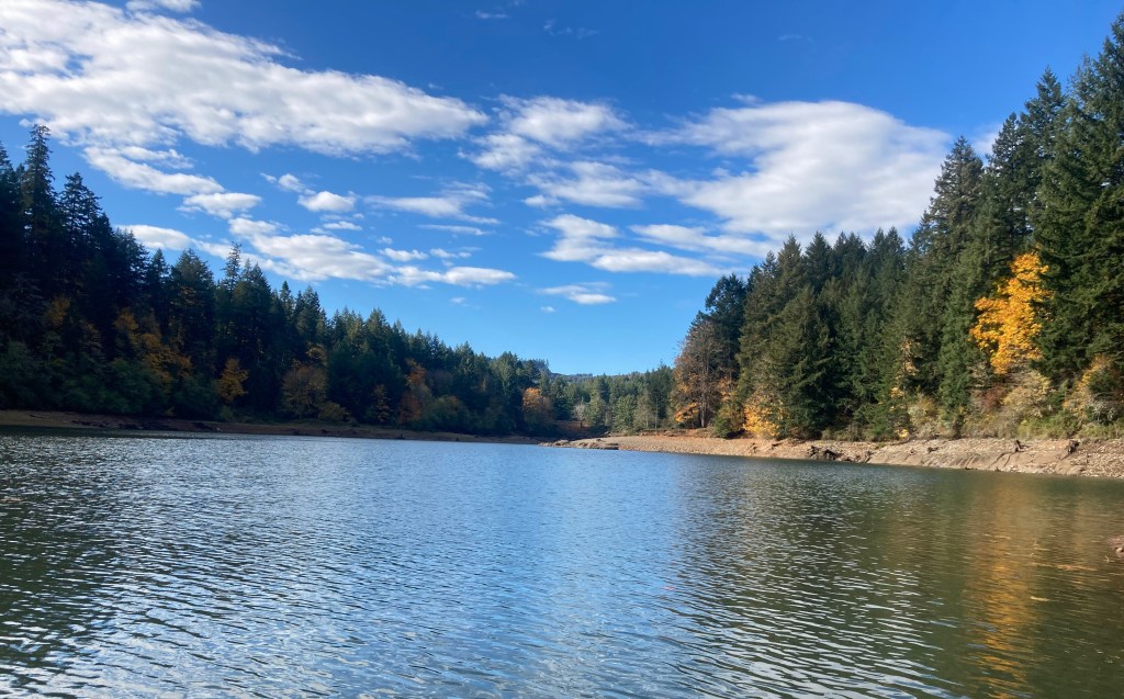
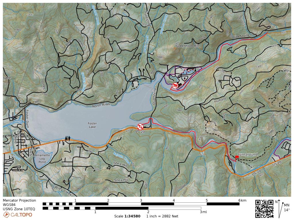
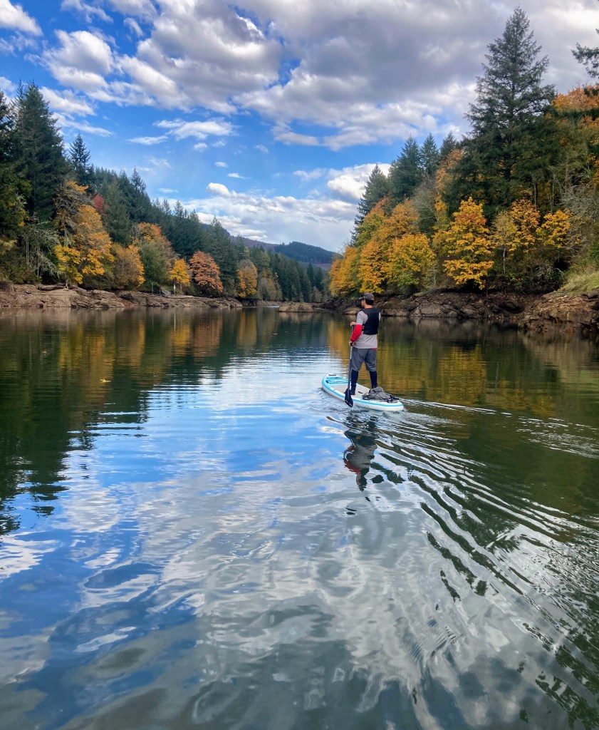
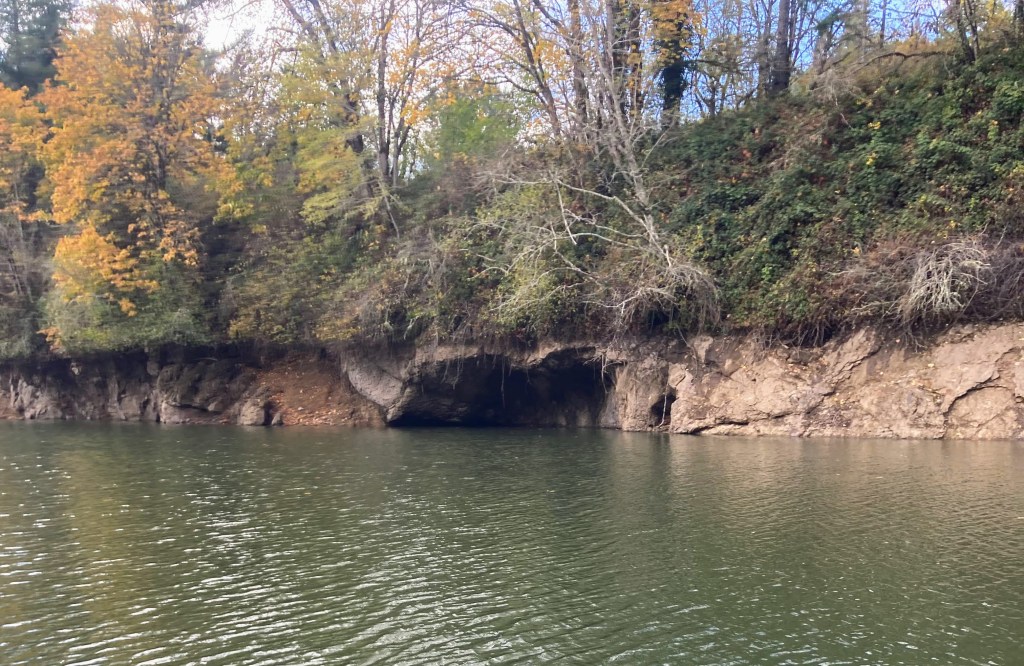
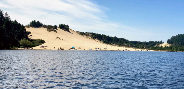
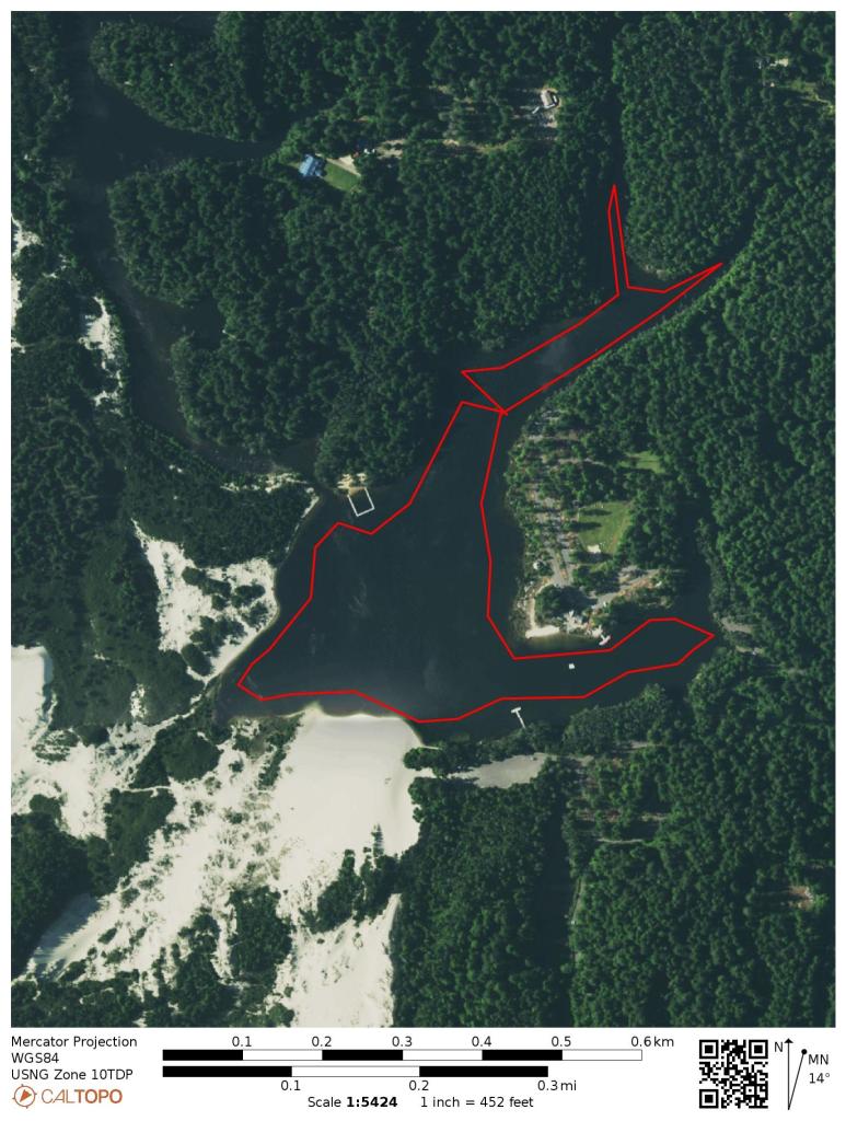
Turner Lake, new to the water scene in 2020, is already quite popular for those who live near this southeast Salem area town of Turner. This is a converted quarry lake of about 70 acres that is now open to the public with a boat ramp and dock and facilities and more exciting development in the works. A creek from the east side empties into it as well as stormwater from the private HOA development on the north end.

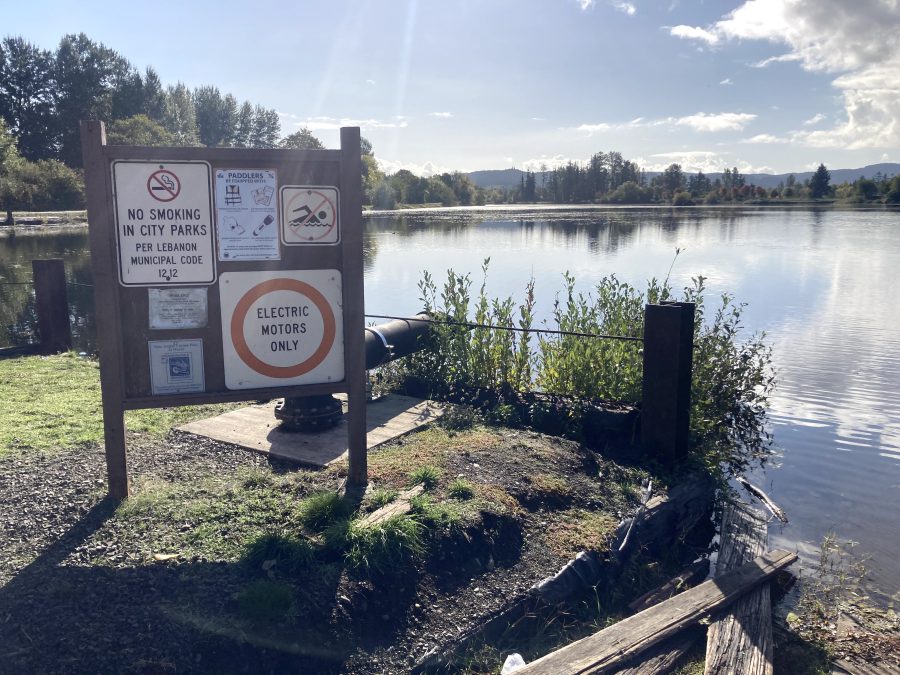
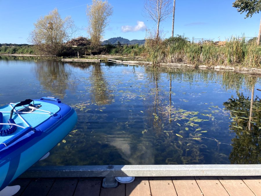
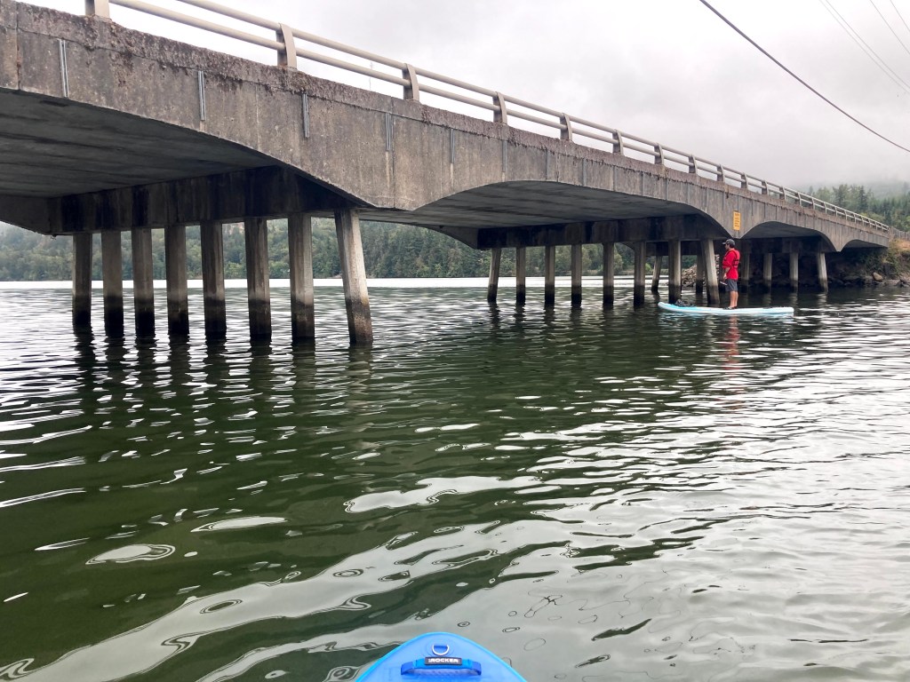
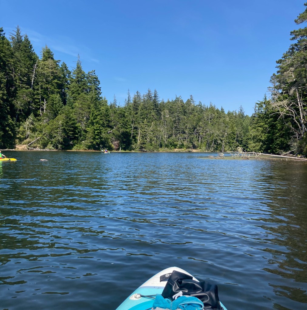
Only non-motorized boats or electric motors are allowed and the entire lake is limited to 5mph, making this a kid-friendly and beginner-friendly place to try out paddling. Also, kayak and SUP rentals are available for rent on-site during the summer.

Good to know:

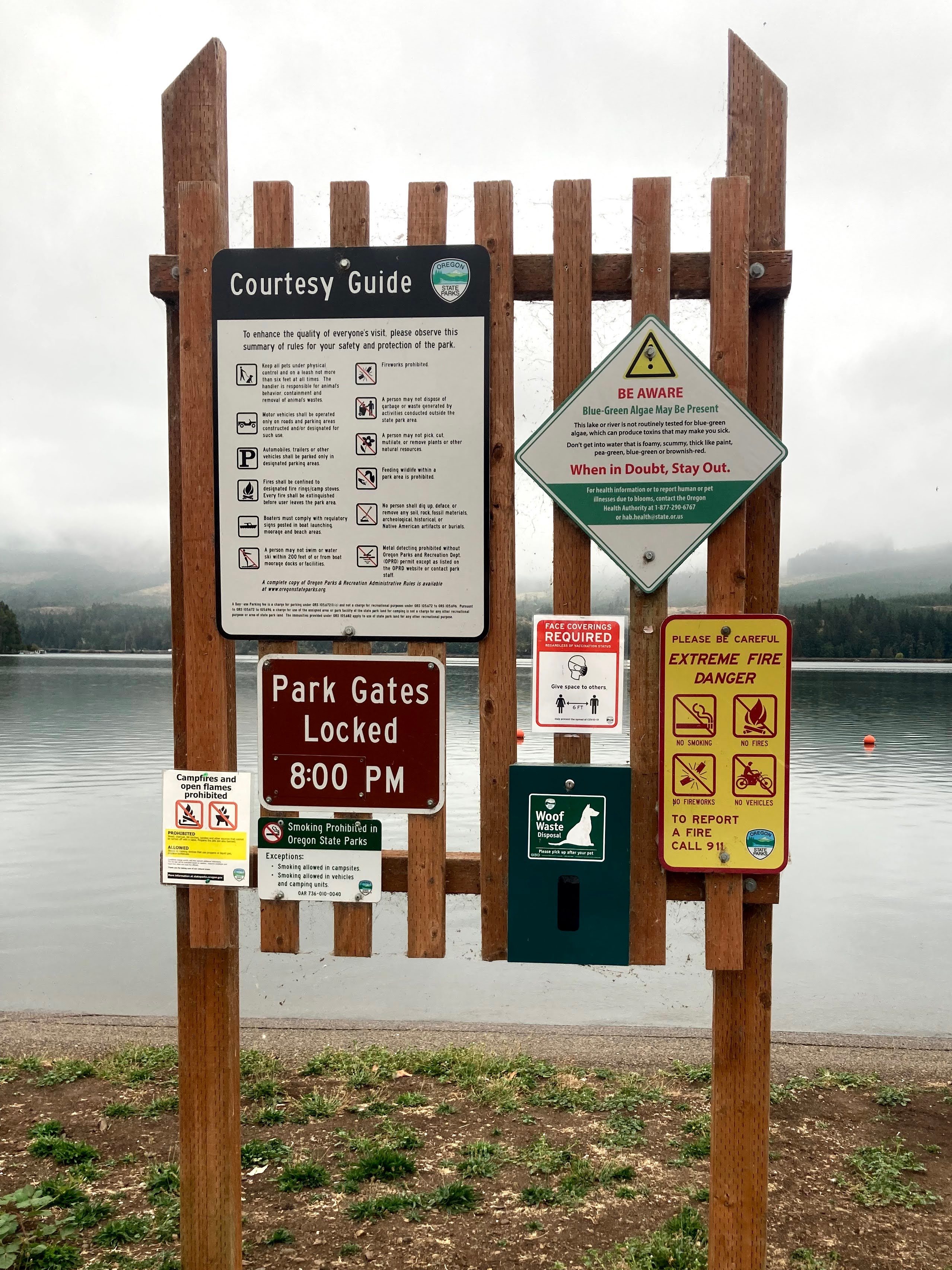
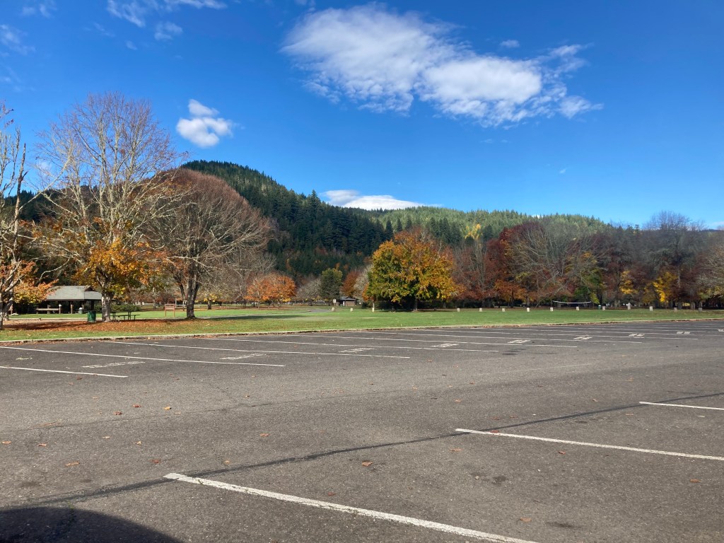
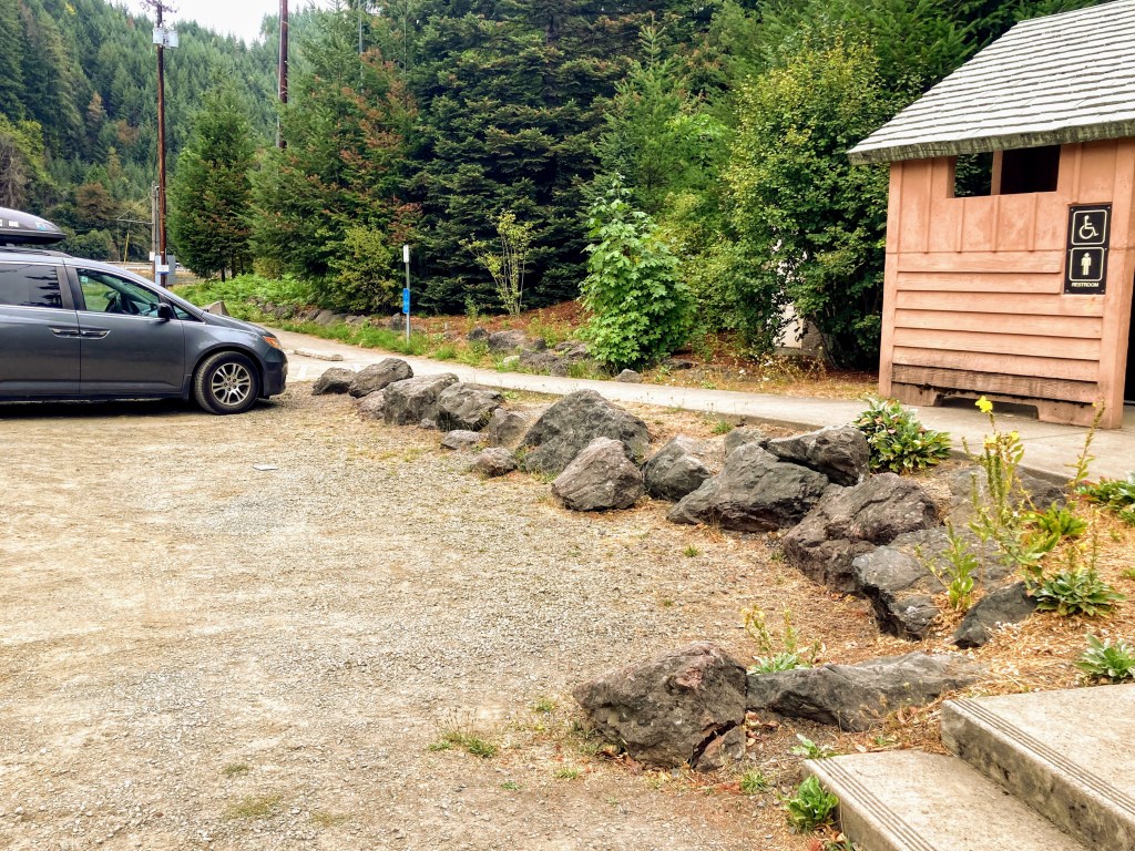
  • The city of Turner manages this lake. Check here for latest parking fees and opening hours and other info.
  • Residents receive a parking pass. Nonresidents pay parking fees Memorial Day weekend to Labor Day weekend.
  • There is a boat ramp and dock.

Directions:


Check before you go:

[ventus width=”100%” height=”300px” radius=”10px” lat=”44.821″ lon=”-122.964″ zoom=”10″ layer=”wind” scale=”F” units=”mph” marker=”true” forecast=”false” time=”now].

  • Inspect your watercraft. You can help prevent the spread of aquatic invasive species by wiping off any vegetation or debris from your watercraft and making sure it is dry each time before entering a new waterway.
  • PFD, Whistle, and Waterway Access Permit: In Oregon, all paddlecraft 10′ or longer (including SUPs, kayaks, and canoes) require a permit. You can purchase the permit online.

Beware that the routes and information on this site are just general guides and the best path may vary based on water level, obstructions, experience level, equipment, and other conditions. Paddlers are responsible for providing their own safety. Super Water Trails does not assume any liability.

Cottage Grove Reservoir

Skip ahead to check conditions

Cottage Grove Reservoir, set in the rolling hills at the south end of Willamette Valley, is a close drive from Eugene and only 1 hour from Roseburg. As with the other Willamette Valley dam projects operated by the US Army Corps of Engineers, it is a popular place for boating and other water sports in the summertime. The water temperature warms up early in the season and reaches a comfortable upper 70s by summertime.

When it comes to launching your paddlecraft, Cottage Grove Reservoir provides several options. Lakeside Park features a low-water boat ramp and spacious beach day use area but tends to be the busiest. On the opposite side of the reservoir, you’ll discover Shortridge Park, a smaller day-use area that grants shoreline access. It’s particularly popular among families who enjoy leisurely floating in the protected cove. Lastly, Wilson Creek Park awaits at the far southern end of the lake. While it may receive fewer visitors due to its location, it boasts a cozy day-use area with a swim beach and sits adjacent to the tranquil no-wake inlet area.

Paddling from Wilson Creek Park to the inlet where the Coast Fork Willamette River flows is typically a peaceful hour-long roundtrip, turning soon after passing under a road bridge. When the winds pick up though, especially in the afternoons, it can make the return more challenging. A paddle around the entire teardrop-shaped reservoir would take approximately 2 hours (5+ miles).

*Time is roughly based on a leisurely paddle pace in typical conditions and includes breaks for longer distances. Wind, current, equipment, and the paddler’s fitness and motivation can greatly affect this estimate.

Good to Know:

  • Cellular signal is generally poor or fair here.
  • It can get choppy here when the winds pick up or with boating activity.
  • The water temperature warms up earlier here and can reach a comfortable upper 70s F in the summer.
  • Waterway restrictions: the inlet south of Wilson Creek Park is a slow no-wake zone.

Launch Sites:

Additional Things To Do:


Check before you go:

  • Maps and Suggested Routes: Download or print out a map before you go from the SWT Planner App. As a premium member, you can access an ever-growing library of paddling-related maps and suggested routes.
  • Weather: Check the weather forecast and pay attention to the wind.
  • Toxic algae blooms: This temporary condition occurs at some of the area lakes in the summer and may affect your health if water or fish is consumed during these conditions. Get more info on how to tell if algae is harmful and watch for water advisories but also use common sense if you see water that doesn’t look right.
  • Water Temperature: The water temperature warms up in May and reaches a comfortable upper 70s in the summer. Read the cold water safety page if you need more background info.
 USGS Water-data graph for site 14152500
Coast Fork Willamette River at London, OR stream monitor at inlet
  • Water Level:
 USGS Water-data graph for site 14153000
Lakeside boat ramp 745 ft. , Wilson Creek Park boat ramp 779 ft.
  • Inspect your watercraft. You can help prevent the spread of aquatic invasive species by wiping off any vegetation or debris from your watercraft and making sure it is dry each time before entering a new waterway.
  • PFD, Whistle, and Waterway Access Permit: In Oregon, all paddlecraft 10′ or longer (including SUPs, kayaks, and canoes) require a permit. You can purchase the permit online.

Beware that the routes and information on this site are just general guides and the best path may vary based on water level, obstructions, experience level, equipment, and other conditions. Paddlers are responsible for providing their own safety. Super Water Trails does not assume any liability.

Lake Lytle

Skip ahead to check conditions

Lake Lytle is the largest of a string of small lakes along the Hwy 101 in Rockaway Beach that once formed a channel of the Nehalem River. The geologic history is similar to the sand dune lakes in Florence, such as Cleawox Lake or Woahink Lake.

What makes this a fun place to visit is that you can paddle through a little canal to access Crescent Lake, which is a smaller motorboat-free lake. This is a family-friendly paddle due to the small size, a motorboat-free section, and places to pull over if needed. It is sheltered from wind somewhat and the entire lake averages only about 5 ft. deep. Consider paddling at this lake if winds pick up elsewhere or the timing of the tides isn’t right for paddling at the Nehalem.

Good to know:

  • The cellular signal is average to poor here.
  • Although the main lake has no speed restrictions, you can paddle through a small channel into a smaller lake.

Driving Directions:

Parking:

The parking lot for the county boat ramp is on 12 th st.

Lake Lytle parking area
Parking lot Tillamook County boat ramp and vault toilet.

An alternate parking spot might be on the side of Highway 101 near the fishing dock.

More things to do:

  • Here are some ideas of things to do while you are visiting Rockaway Beach.

Check before you go:

  • Maps and Suggested Routes: Download or print out a map before you go from the SWT Planner App. As a premium member, you can access an ever-growing library of paddling-related maps and suggested routes.
  • Parking fee: the day use fee is $10 or purchase the Tillamook County Annual pass. This pass can also be used at other Tillamook County boat launches.
  • Weather: Check the weather forecast and pay attention to the wind.
  • Inspect your watercraft. You can help prevent the spread of aquatic invasive species by wiping off any vegetation or debris from your watercraft and making sure it is dry each time before entering a new waterway.
  • PFD, Whistle, and Waterway Access Permit: In Oregon, all paddlecraft 10′ or longer (including SUPs, kayaks, and canoes) require a permit. You can purchase the permit online.

Beware that the routes and information on this site are just general guides and the best path may vary based on water level, obstructions, experience level, equipment, and other conditions. Paddlers are responsible for providing their own safety. Super Water Trails does not assume any liability.

Foster Reservoir

Skip ahead to check conditions

Foster Reservoir, situated in the scenic Cascade foothills, can be reached within an hour’s drive east of both Eugene and Salem. It comes as no surprise that during the summer season, the reservoir thrives with activity, attracting anglers and water enthusiasts of all kinds. The reservoir boasts two arms, designated no-wake zones, a big attraction for paddlers.

There is a campground located at Sunnyside Park and at Edgewater RV Resort. And if you need rentals during the summer season, visit Lewis Creek County Park.

Good to Know:

More things to do:


Check before you go:

  • Maps and Suggested Routes: Download or print out a map before you go from the SWT Planner App. As a premium member, you can access an ever-growing library of paddling-related maps and suggested routes.
  • Weather: Check the weather forecast and pay attention to the wind.
  • Toxic algae blooms: This temporary condition occurs at some of the area lakes in the summer and may affect your health if water or fish is consumed during these conditions. Get more info on how to tell if algae is harmful and watch for water advisories but also use common sense if you see water that doesn’t look right.
  • Inspect your watercraft. You can help prevent the spread of aquatic invasive species by wiping off any vegetation or debris from your watercraft and making sure it is dry each time before entering a new waterway.
  • PFD, Whistle, and Waterway Access Permit: In Oregon, all paddlecraft 10′ or longer (including SUPs, kayaks, and canoes) require a permit. You can purchase the permit online.

Beware that the routes and information on this site are just general guides and the best path may vary based on water level, obstructions, experience level, equipment, and other conditions. Paddlers are responsible for providing their own safety. Super Water Trails does not assume any liability.

Cheadle Lake

Skip ahead to check conditions

Cheadle Lake is a 100-acre lake in Lebanon, OR filled by the waters of the South Santiam River. It was previously used as a mill pond but it has now been converted to a lake for the public to enjoy. The dredged material of its former life forms an island in the shape of what has been described as “three fingers and a thumb.”

Paddle through the thick pond vegetation in between the fingers and explore the old remnants of the logging pond. The water is clear and you can see the fish darting around amongst the vegetation.

  • Length: ~2.2 miles
  • Paddle Time: 53 min.*
  • Parking fee: none
  • Launch: boat ramp, dock
  • Restroom: flush
  • Cell signal: excellent

*Time is roughly based on leisurely paddling pace of 2.5mph. Wind, current, equipment, and paddler’s fitness and motivation can change this estimate.

Good to know:

  • The boat ramp is open year-round.
  • Motorboats aren’t allowed here, unless it’s electric.
  • Be warned that you may encounter thick vegetation, especially within the fingers.

Paddle Route:

After launching from the boat ramp and dock, consider paddling this lake in a clockwise loop.

First, you will reach the far end of the lake where the inlet is. Then, you can paddle into each of the fingers. And finally, paddle along the outer border of the lake before returning to the ramp.

Driving Directions:

Other Things to Do:

  • Check out the walking trails: The North Shore Trail starts next to the boat ramp and is a popular 1.23 mile paved trail along the lake and Cheadle Park for a 2.46 out-and-back walk. The Island Trail is an additional loop along the fingers of the lake.
  • Participate in a community event put on by Build Lebanon Trails.
  • Go on a waterfall hike: McDowell Creek Falls County Park is less than half hour drive and you can visit 3 waterfalls on this scenic 1.7 mile hike.

Check before you go:

  • Maps and Suggested Routes: Download or print out a map before you go from the SWT Planner App. As a premium member, you can access an ever-growing library of paddling-related maps and suggested routes.
  • Weather: Check the weather forecast and pay attention to the wind.
  • Water Temperature: Read the cold water safety page if you need more background info.
 USGS Water-data graph for site 14187500
This monitor is located upstream, just prior to entering the canal.
  • Inspect your watercraft. You can help prevent the spread of aquatic invasive species by wiping off any vegetation or debris from your watercraft and making sure it is dry each time before entering a new waterway.
  • PFD, Whistle, and Waterway Access Permit: In Oregon, all paddlecraft 10′ or longer (including SUPs, kayaks, and canoes) require a permit. You can purchase the permit online.

Beware that the routes and information on this site are just general guides and the best path may vary based on water level, obstructions, experience level, equipment, and other conditions. Paddlers are responsible for providing their own safety. Super Water Trails does not assume any liability.

Dexter Reservoir

Dexter Reservoir is located along Hwy 58 just 19 miles east of Eugene and the water levels are maintained year-round. It’s a popular place for boaters, water-skiers, and even the UO rowing club. First-timers and kids enjoy coming here to play near the swimming beach and more secure paddlers can venture out further. You can also visit early mornings or after the peak summer season for a calmer paddle.

The reservoir is a reregulating dam that captures the cold water discharged from Lookout Point Dam during power generation. Together, the two reservoirs generate hydroelectric power and prevent flood damage downstream from the Middle Fork Willamette River.

  • Route length– 2-5 miles out and back
  • Fee – none
  • Restrooms– flush toilets (at Lowell SRS), vault toilets (at Dexter SRS)
  • Cellular signal– excellent
  • Best times to go – May- Oct

There are two Oregon state recreation sites (SRS) that allow access to Dexter Reservoir. Lowell SRS has the swimming beach, flush toilets, and a play area for kids. It is also a shorter paddle to get to the covered bridge, if that is your goal. Dexter SRS, on the other hand, is conveniently located right off the Hwy 58 and it has a disc golf course and trails leading to Elijah Bristow State Park.

Directions:

At Lowell SRS, launch anywhere along the swim beach area. Start out by paddling left towards the covered bridge. You will pass a few private homes behind the no-wake zone.

Dexter SRS is located on the southwest corner of the lake. If you launch from here, you will be paddling alongside the Hwy 58 and end up on the side closer to the Lowell Covered Bridge.

Turnaround when you get near the bridge if you want about a 2-mile paddle starting from Lowell SRS or 3-mile paddle starting from Dexter SRS.

Historic Lowell Covered Bridge

Want more paddling?

Continue under the bridge towards the Lookout Point Dam. This would add up to 2 more miles to your paddle route.

Check before you go:

  • Toxic algae blooms: This temporary condition occurs at some of the area lakes in the summer and may affect your health if water or fish is consumed during these conditions. Get more info on how to tell if algae is harmful and watch for water advisories but also use common sense if you see water that doesn’t look right.
  • Water temps: Here is a graph of the water temperature trend during an entire year, just to give you an idea of what to expect in case you take a splash.

The actual water temperature appears to run 0-3F higher than the readout from the water monitor.

  • Wind: waves can get choppy here, check on wind conditions
  • Events: there are some large events held here, such as the Covered Bridge Regatta in April and the CBDA drag races in the summer. The Oregon Association of Rowers keeps a calendar of events and row practices that you can check here.

Additional things to do:

  • Fish hatchery
  • Disc-golf
  • Hiking trails

Foster Reservoir – Sunnyside Day Use Area

Foster Reservoir is located in the foothills of the Cascade Range just east of Sweet Home. Like other reservoirs in the area, it is very popular for boating and jet skiing in the summertime. But if you don’t enjoy surfing wakes, you can go up either of two no-wake zone arms for a gorgeous wind-protected scenic paddle.

Foster regulates flow from Green Peter Reservoir and also impounds water from the South Santiam River for flood control downstream and hydroelectric power. You can read more info about the reservoirs and dams in the area here.

As a reregulating dam for Green Peter Reservoir, the water level at Foster is kept at a steady level during the summer and then drawn down starting late September. Even at low pool, you can still generally launch a paddlecraft from the Sunnyside day use area.

This post describes the water route from the Sunnyside Day Use area and up the northern arm, which is where the Green Peter Reservoir releases its flow.

  • Route length– up to 5 miles out and back (~2 hr paddling time)
  • Parking – Sunnyside day use area
  • Fee – none.
  • Restrooms– vault toilets
  • Cellular signal– very good
  • Best times to go – day use area open year-round
  • Rentals: at Lewis Creek Park during summer

Paddle route: You can start out by paddling right to check ou the bridge then back in.

Paddling is possible up to the boulders

Turnaround and enjoy a little assist on the way back. In November, the current is very minimal. Just glassy water reflecting the fall colors.

Check before you go:

  • Park status: Calkins day use area is managed by Linn County Parks.
  • Water temps: Here is a graph of the water temperature trend during an entire year, just to give you an idea of what to expect in case you take a splash.

Note that the water can reach about 70F in September even though the water monitor shows much cooler waters.

  • Toxic algae blooms: This temporary condition occurs at some of the area lakes in the summer and may affect your health if water or fish is consumed during these conditions. Get more info on how to tell if algae is harmful and watch for water advisories but also use common sense if you see water that doesn’t look right.

Cleawox Lake

Cleawox Lake is a coastal dune lake just 4 miles south of Florence. You can spend an entire day at this 87-acre lake paddling, swimming, relaxing on the beach and of course, charging up that giant sand dune. This is a good coastal lake for first-timers and kids to practice in the wind-protected, shallow and warm waters by the beaches. Another plus, no high speed motorboats or water-skiers to avoid here.

  • Length– ~1.7 mile main loop, 2+ mile out and back north arm
  • Fee – day use fee or Oregon State parks pass; or camp at Honeyman.
  • Restrooms– flush toilets
  • Cellular signal– excellent
  • When to go – open year-round
parking options

Directions: from Florence, take Hwy 101 south, make a right at Jesse Honeyman State Park (between MP 193 and MP 194). Then, either turn right for Cleawox Day Use area or left for Honeyman Day use area.

Parking: There are some options for parking depending on the amenities you want to be close to. Both day use areas require a day pass and have restroom facilities and swimming beach areas. Parking at Honeyman will get you closer to the sand dune while parking at Cleawox will be closer to the summer boat rentals and may be less crowded.

Cleawox Lake day use area launch

Aside from a few surface streams, most of the water comes into the lake via seepage. As such, the water quality is very good. The water temperature is about 70F in the summer and it is clear enough to view the fish darting around below.

Shallow beach area

Paddling around the entire main area of the lake can take less than an hour but you can view the forested arms and wildlife on the northeast end in contrast to the sand dune and beaches on the south end.

main loop paddle ~1.7mi

For additional paddling and a quiet escape, locate the opening immediately to the left of the Girls Scouts camp area to enter the northern arm of the lake. The sand dune is encroaching on this inlet and you will need to paddle through the pondweeds and lily pads in order to reach deeper and clearer sections of this mile-long arm. Cellular phone reception appears to be limited in this arm.

Check before you go:

  • Watch for winds and wind gusts, which usually pick up in the afternoon. It is generally advised for beginners to paddle when winds are less than 10mph.

Download a map and track your paddle:

This is a geospatial-enabled PDF map of the paddle. You can use these special PDFs with the mobile app Avenza to follow the route or track your own paddle distances and times. Please note that the routes are just general guides. The best path may vary based on water level or new obstructions in the water.

Leaburg Dam

Leaburg Dam along the McKenzie River is used by EWEB to provide hydroelectric power to some Eugene homes. It is located only about 22 miles east of Springfield along the McKenzie Highway 126. Enjoy this no-wake flatwater portion of the McKenzie and photo-ops of the iconic covered bridge known as Goodpasture Bridge. The water is always cold here, so it’s probably not the best choice for first-timers or someone who is still working on balance.

  • Length– ~3 miles out and back
  • Fee – none
  • Restrooms– vault
  • Cellular signal– no service
  • Best times to go – Open year-round but caution with cold water

Directions: From Springfield, go east OR-126 for 23 miles, turn right on Leaburg Dam Road, then turn left immediately after crossing the bridge, park in gravel lot.

parking lot and bathrooms

The launch site is visible from the parking lot, right before the dam. Just walk your board in and go right!

You will initially be paddling alongside the Lloyd Knox park and perhaps find a picnic table stopover.

picnic spot

Private residences line the rest of the route, but there is a boat ramp on river right (your left side, if facing the covered bridge) if a pullover stop is needed.

The current starts to pick up when you get closer to the bridge.

Turnaround at Goodpasture Bridge

Check before you go:

  • Water temps: Here is a graph of the water temperature trend during an entire year, just to give you an idea of what to expect in case you take a splash.
cold McKenzie water

This is such a lovely place to paddle except the water is cold in the summer and colder rest of the year. The water temperature appears to track closely to this monitor, so it really is that cold.

Download a map and track your paddle:

This is a geospatial-enabled PDF map of the paddle. You can use these special PDFs with the mobile app Avenza to follow the route or track your own paddle distances and times. Please note that the routes are just general guides. The best path may vary based on water level or new obstructions in the water.

Additional things to do: