Paddling Locations

Eel Lake

Skip ahead to check conditions

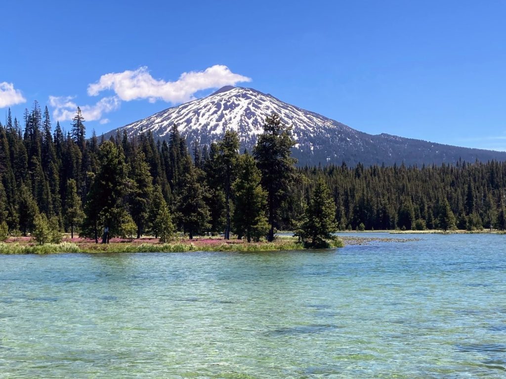
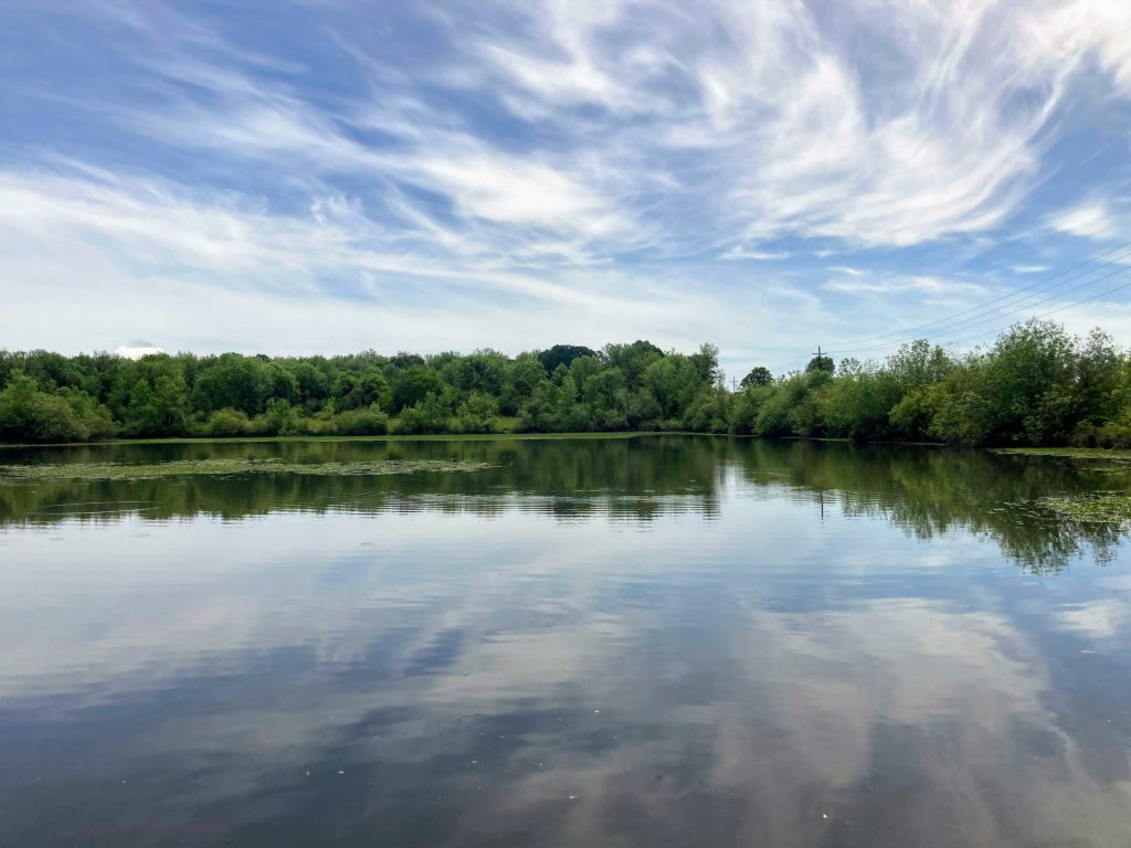
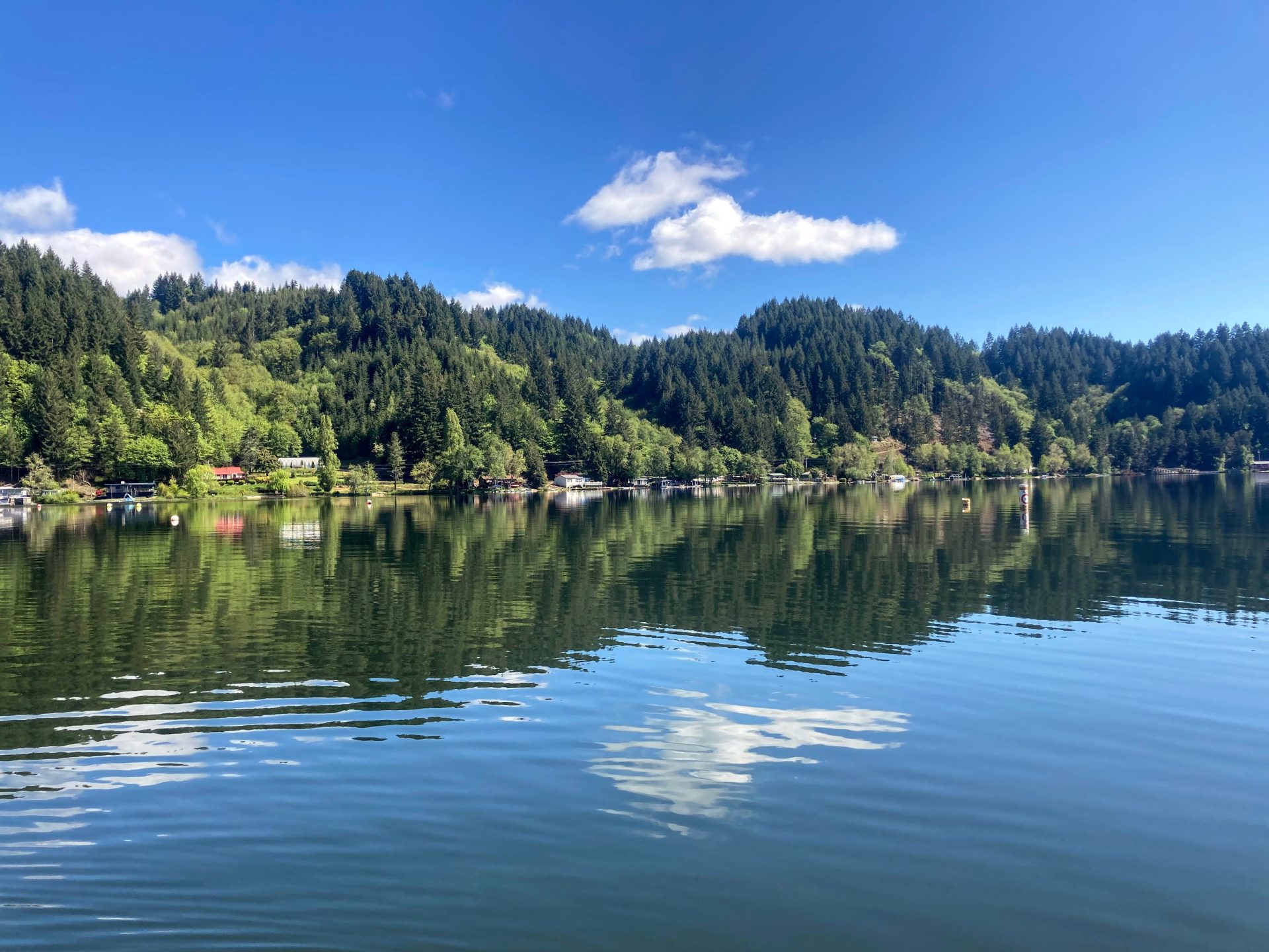
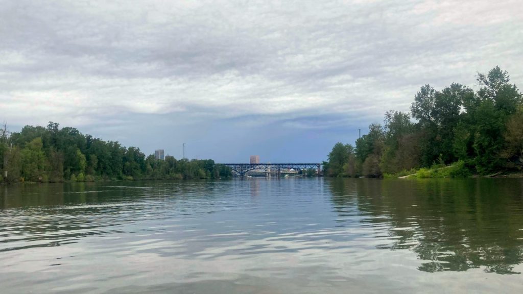
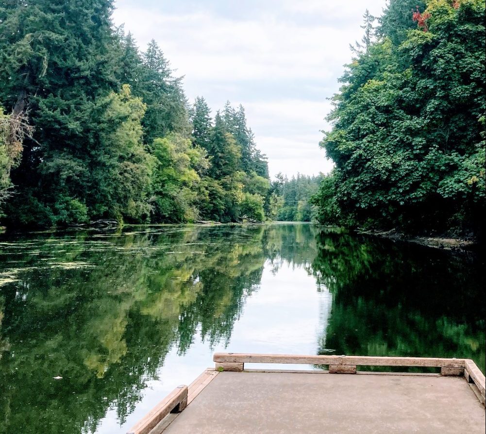
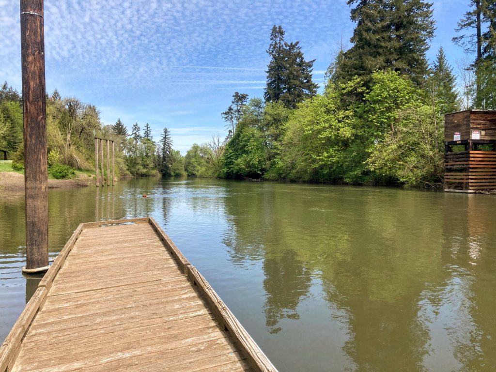
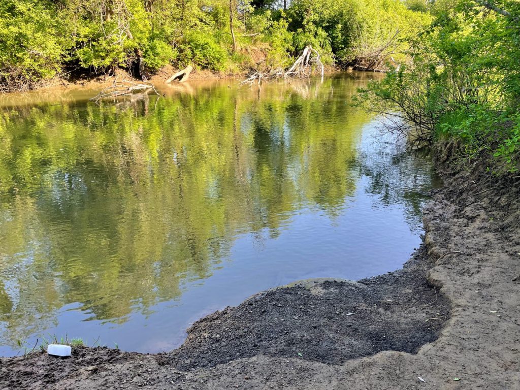
Eel Lake is a 347-acre coastal lake near Reedsport that is made up of two long and deep arms outlined by the forested slopes of the Coast Range. There is no need to dodge speeding boats or consult tide tables for this one. It is actually the largest coastal lake in Oregon where there is a 10mph speed restriction for the entire lake. And there are about 11 miles of undeveloped forested shoreline to explore on these clear waters.

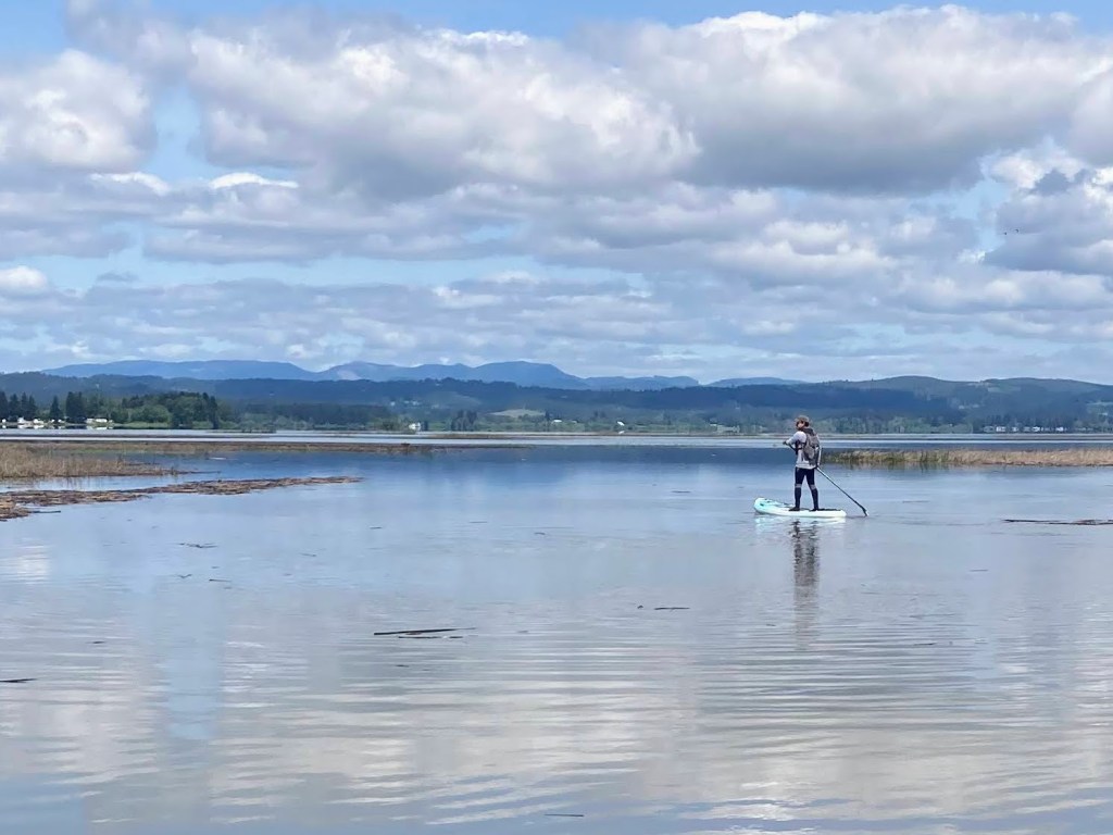
This is a beginner-friendly lake under most conditions. The main limitation for paddlers would be the strong winds that can start as early as noon. You may be able to use it to your advantage, however, to assist on your return (for winds coming from the north in the summertime). There are also plenty of coves to duck into to avoid the stronger gusts and provide some interesting exploration.

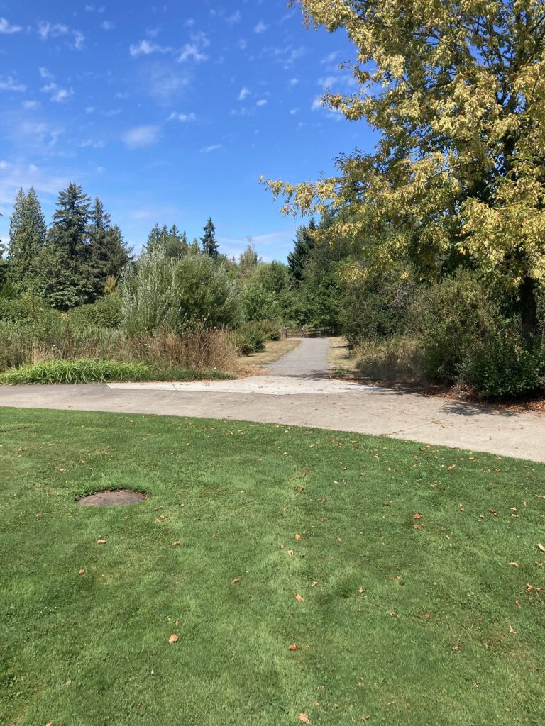
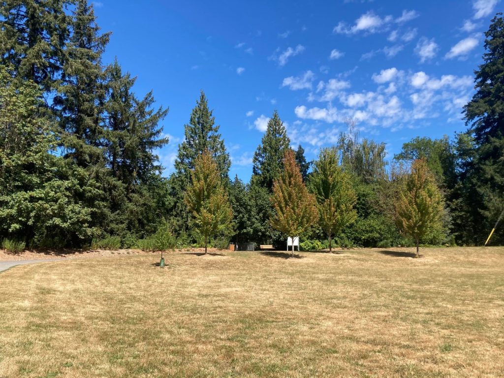
This is also a family-friendly location due to all of the amenities at the Tugman State Park Day Use Area. There are restrooms, a swimming beach, large grassy area for picnics and games, and a playground.

  • Length: ~3 mi RT left arm, ~5 mi RT rt arm
  • Paddle Time: ~1h 12min left arm, ~ 2H + rt arm*
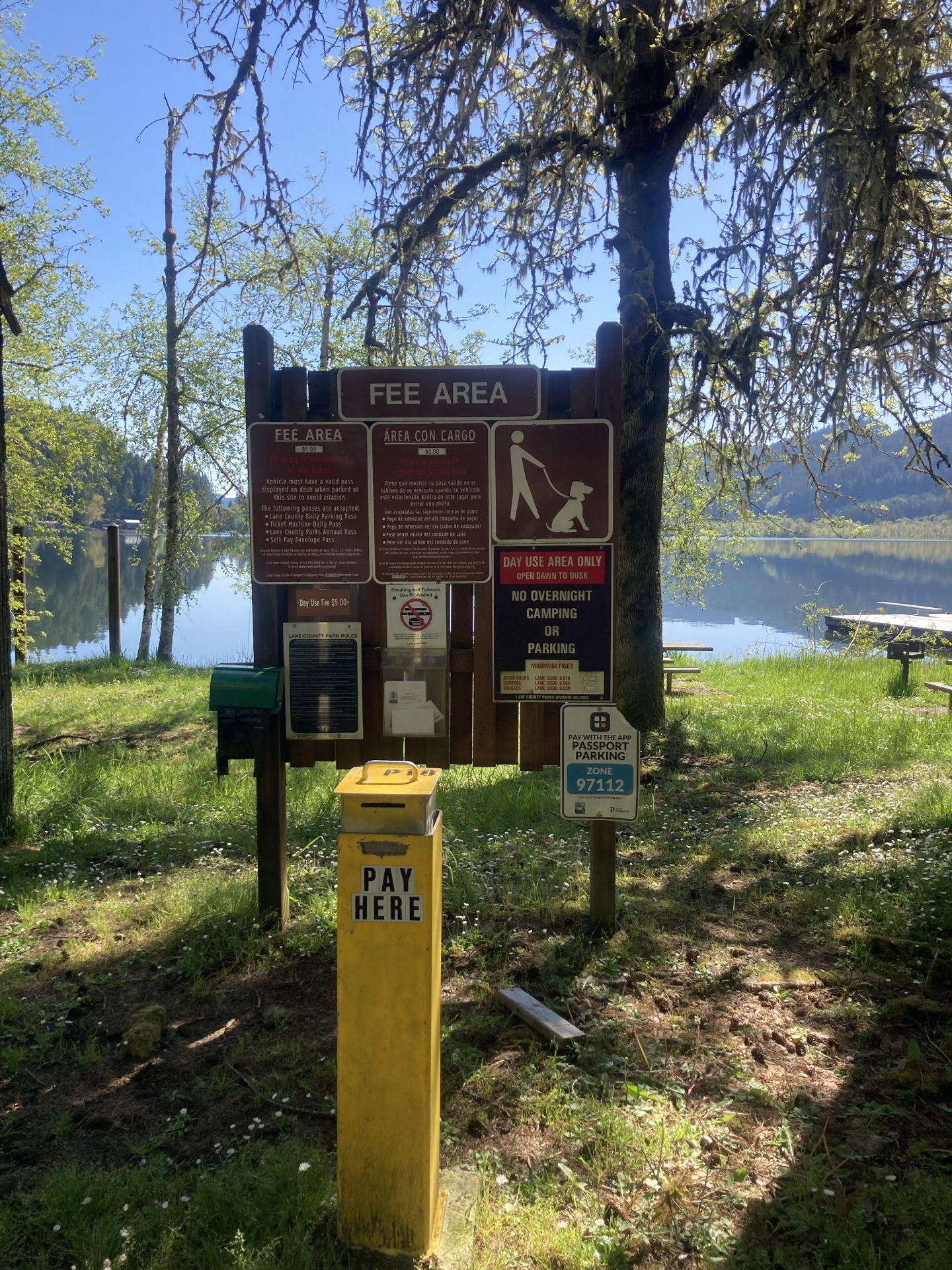
  • Parking fee: free
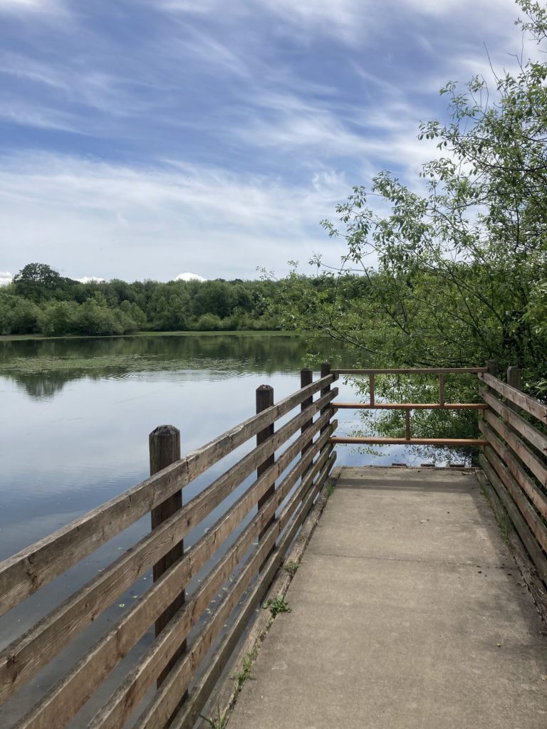
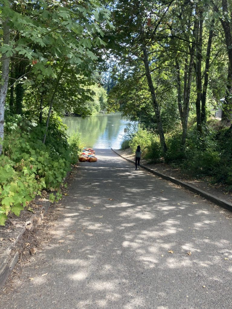
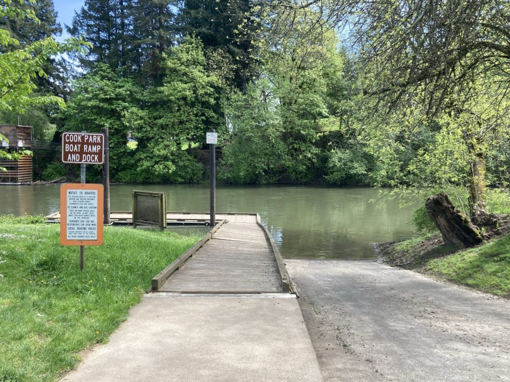
  • Launch: boat ramp, ADA accessible kayak launch, shore
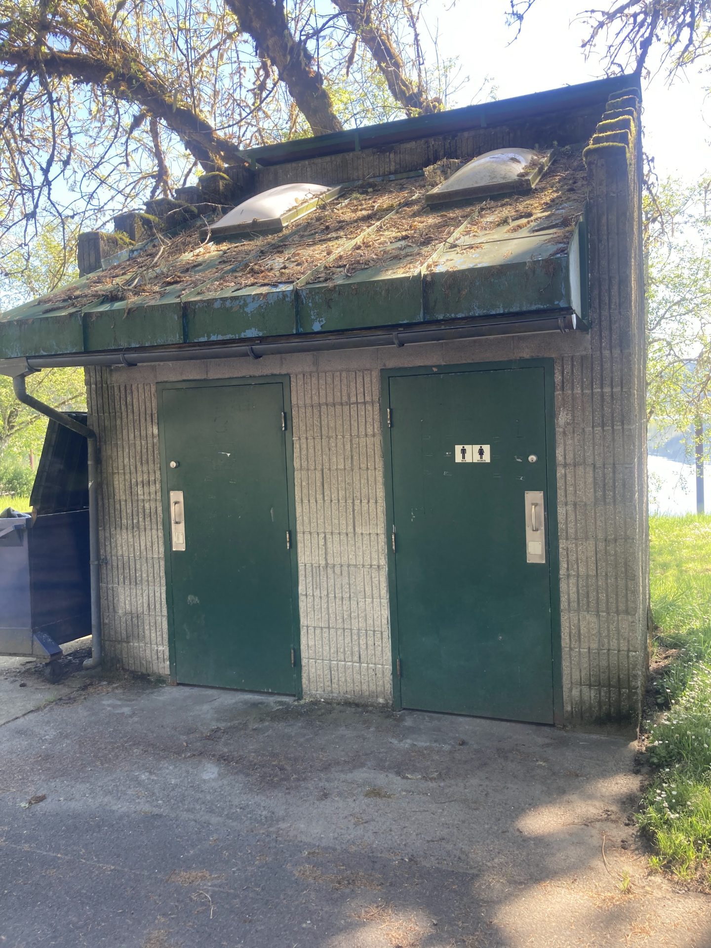
  • Restroom: flush
  • Cell signal: fair

*Time is roughly based on leisurely paddling pace of 2.5mph. Wind, current, equipment, and paddler’s fitness and motivation can change this estimate.

Good to know:

  • You won’t find any eels at Eel Lake. Apparently, eels are not found in Oregon but there are lamprey. You can learn more about the lamprey migration for spawning at the Eel Lake Trap structure at the day use area.
  • Winds pick up after noon, especially from the north in summertime.
  • There is a 10mph speed restriction at this lake

Paddle Route:

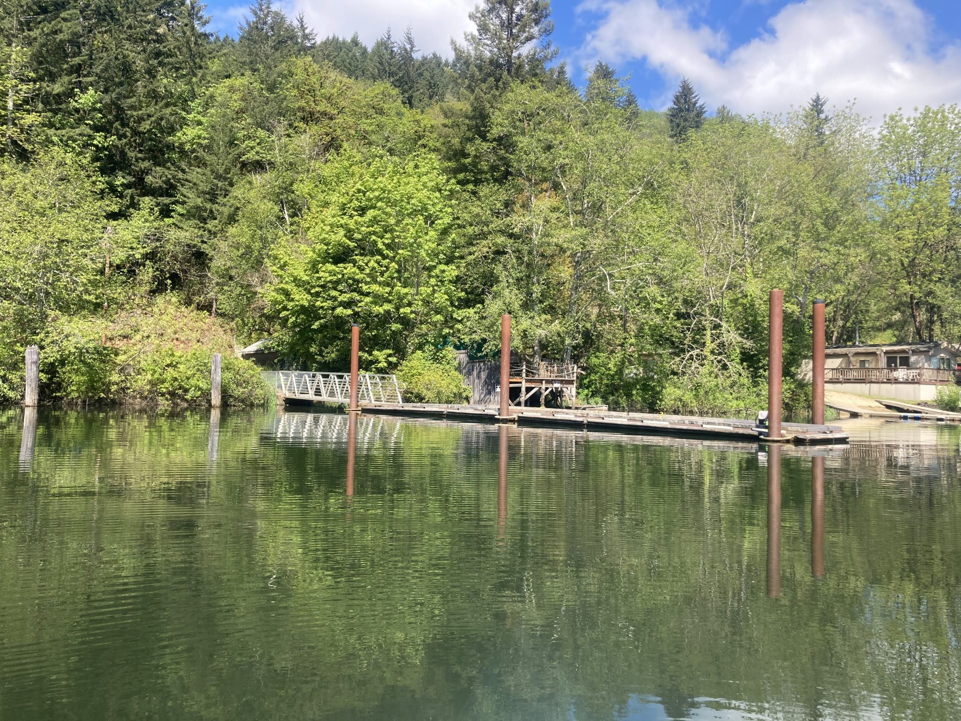
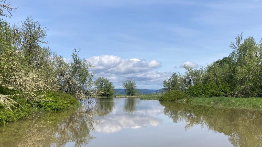
From the boat launch, head left to go up the shorter arm where you will see some old pilings remnants at the end. Or head right to go up the longer arm on the right. You will pass the small swimming and sandy beach area , then turn left(north) to continue up the arm.

Directions:

GPS coordinates for Eel Lake at Tugman State Park Day Use Area: 43.60398, -124.17691

Additional things to do:

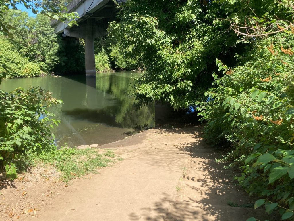
  • Check out the fish ladder and special lamprey ramp at the Eel Lake Dam.
  • Hike or bike on the 3-mile length dirt trail- find the trailhead to the right (east) of the Eel Lake Trap structure.
  • Camp at Tugman State Park campground– there are sites for tents, RVs, and yurts; access the lake via a short walk or drive from the campground to the adjacent day use area.

Check before you go:

  • Maps and Suggested Routes: Download or print out a map before you go from the SWT Planner App. As a premium member, you can access an ever-growing library of paddling-related maps and suggested routes.
  • Water Temperature: Read the cold water safety page if you need more background info.
  • Prepare accordingly for the water temperature. According to the Oregon State Parks information, the water is typically 50F-55F in winter and 67-71F in summer.
  • Inspect your watercraft. You can help prevent the spread of aquatic invasive species by wiping off any vegetation or debris from your watercraft and making sure it is dry each time before entering a new waterway.
  • PFD, Whistle, and Waterway Access Permit: In Oregon, all paddlecraft 10′ or longer (including SUPs, kayaks, and canoes) require a permit. You can purchase the permit online.

Beware that the routes and information on this site are just general guides and the best path may vary based on water level, obstructions, experience level, equipment, and other conditions. Paddlers are responsible for providing their own safety. Super Water Trails does not assume any liability.

Coffenbury Lake at Fort Stevens

Skip ahead to check conditions

Coffenbury Lake is a natural dune lake located within Fort Stevens State Park in Warrenton where you can spend a day or a week here. Just within the state park, you can paddle at the lake, hike or ride your bike to a beach with a shipwreck, visit a historic military fort and battery, and play on a 23-hole disc golf course with beautiful views of the Columbia River. It’s a unique combination for sure, but it checks all the boxes.

Beginners and first-timers should feel comfortable paddling on this narrow lake where the shoreline is never far away and there is a 10mph speed limit. You will see mostly other kayaks, SUPs, and canoes at this lake. Also, this shallow lake does warm up in the summer for swimming.

Coffenbury Lake has a North and South Day use area. Both have ample paved parking, boat ramp and dock and shoreline access to water. The South day use lot, however, has more picnic tables near the shore.

  • Length: ~2 miles
  • Paddle Time: <1 h*
  • Parking fee: day use fee at kiosk or Oregon State Parks pass or camping reservation
  • Launch: boat ramp, dock, shallow entry
  • Restroom: flush
  • Cell signal: fair

*Time is roughly based on leisurely paddling pace of 2.5mph. Wind, current, equipment, and paddler’s fitness and motivation can change this estimate.

Good to know:

  • Mosquitoes can be a nuisance here, with peak activity around June-July.
  • Open year-round

Directions:

Once you enter Fort Stevens State Park on Peter Iredale Road, pass the campgrounds, then turn left for Coffenbury Lake Day Use Area. Continue straight ahead for North Day Use Area or turn left to drive further down to South Day Use Area.

Additional things to do:

  • Seaside is just a 20-minute drive south and you can walk along the promenade, watch the bubble guy do his thing, visit the aquarium, paddle on the river trails, and eat at some good restaurants.
  • Reserve a site at Fort Stevens State Park campground for your next camping trip. As one of the nation’s largest campgrounds, there is enough to see and do for days. There are sites for RVs, tents, yurts, and even deluxe cabins.

Check before you go:

  • Maps and Suggested Routes: Download or print out a map before you go from the SWT Planner App. As a premium member, you can access an ever-growing library of paddling-related maps and suggested routes.
  • Mosquitoes– this site gives the schedule for mosquito control at Fort Stevens State Park.
  • Toxic algae blooms: This temporary condition occurs at some of the area lakes in the summer and may affect your health if water or fish is consumed during these conditions. Get more info on how to tell if algae is harmful and watch for water advisories but also use common sense if you see water that doesn’t look right.
  • Inspect your watercraft. You can help prevent the spread of aquatic invasive species by wiping off any vegetation or debris from your watercraft and making sure it is dry each time before entering a new waterway.
  • PFD, Whistle, and Waterway Access Permit: In Oregon, all paddlecraft 10′ or longer (including SUPs, kayaks, and canoes) require a permit. You can purchase the permit online.

Beware that the routes and information on this site are just general guides and the best path may vary based on water level, obstructions, experience level, equipment, and other conditions. Paddlers are responsible for providing their own safety. Super Water Trails does not assume any liability.

Fall Creek Reservoir

Skip ahead to check conditions

Fall Creek Reservoir, located about a 30-minute drive southeast of Eugene, is a rock-filled reservoir that provides flood control to the Middle Fork Willamette River as well as water recreation in the summer. The lake is made up of two arms, Fall Creek Arm to the north and Winberry Creek Arm to the south. In comparison to Dexter Reservoir which is only 4 miles away, Fall Creek Reservoir is set in deep forested canyons away from major roads and has generally less wind and warmer water (Dexter Reservoir receives cold water discharge from Lookout Point Reservoir).

The Winberry State Recreation Site is located on the south arm where Winberry Creek flows into the lake and provides the most launching options for paddling. There is plenty of room here for group gatherings and families to enjoy their day here, including a large paved parking area, many picnic tables facing the shore, barbecue and fire rings, and a swim beach. North Shore, on the other hand, has the low-water level ramp and a longer open season. And finally, the other day use areas that are located along the far end of the north arm are popular with paddlers when there is enough water.

Good to Know:

  • The cellular reception is poor or average here.
  • The water temperature reaches a comfortable 70s in the summer.
  • Under the new water control plan of 2021, the US Army Corps of Engineers plans to draw down the water level much deeper in the winter and delay filling into April or May in order to allow the fish to migrate. It is possible that in years where there is little rain falling after April, there may not be enough water to fill the Winberry arm or the far end of the Fall Creek arm.
Winberry Day Use Area
swim area at Winberry
facing the North Shore

Additional things to do:


Check before you go:

  • Maps and Suggested Routes: Download or print out a map before you go from the SWT Planner App. As a premium member, you can access an ever-growing library of paddling-related maps and suggested routes.
  • Weather: Check the weather forecast for the area and check the wind conditions.
  • Check the park status: on the Oregon State Parks website
  • Water Temperature: Read the cold water safety page if you need more background info. Here is the latest water temperature estimate.
  • Toxic algae blooms: This temporary condition occurs at some of the area lakes in the summer and may affect your health if water or fish is consumed during these conditions. Get more info on how to tell if algae is harmful and watch for water advisories but also use common sense if you see water that doesn’t look right.
  • Inspect your watercraft. You can help prevent the spread of aquatic invasive species by wiping off any vegetation or debris from your watercraft and making sure it is dry each time before entering a new waterway.
  • PFD, Whistle, and Waterway Access Permit: In Oregon, all paddlecraft 10′ or longer (including SUPs, kayaks, and canoes) require a permit. You can purchase the permit online.

Beware that the routes and information on this site are just general guides and the best path may vary based on water level, obstructions, experience level, equipment, and other conditions. Paddlers are responsible for providing their own safety. Super Water Trails does not assume any liability.

Hosmer Lake

Skip ahead to check conditions

Hosmer Lake at 4997 ft elevation is one of the natural alpine lakes located along the Cascade Lakes National Scenic Byway, just 36 miles west of Bend. The small gravel parking lot serving this incredibly popular paddling and fly-fishing only lake fills up early and there is often a bottleneck at the launch site. Once you get onto the water though, there is more space to spread out, the views are spectacular, and everyone has a good time.

At Hosmer Lake, you can take in the views of Mt. Bachelor, South Sister, and Broken Top above and follow the fish (Atlantic salmon, brook trout, and rainbow trout) swimming in the clear water below you. The journey is just as rewarding as the views as you paddle from one part of the lake, then through a winding channel that opens into a hidden second part of the lake and finally into the shallow creek that flows into the lake.

This is a beginner-friendly paddle as long as it is not too windy. The average depth of this lake is only 3 ft (maximum of 12 ft) but be aware that the lake floor is muddy and peaty.

Good to know:

  • Electric motors are allowed on this lake, restricted to 10 mph.
  • Best times to visit are June to October
  • Mosquitoes can be a problem, esp. July-early August
  • Get there early as parking can fill up
  • Watch out for strong winds, especially in the afternoons
  • The cellular signal is fair.
In order of appearance: Mt. Bachelor, Broken Top, and South Sister

Directions:

From Bend, take Century Drive (FS Road 46) which becomes the Cascade Lakes Scenic Byway. After passing Mt. Bachelor, go to about MP 35 and turn left at sign for Hosmer(4625).

South Campground has a day use area gravel parking lot and boat ramp. There is a US Forest day use fee for this location, but no vending kiosk on site.

Additional things to do:

Check before you go:

  • Weather: Check the weather forecast for the area and check the wind conditions.
  • Maps and Suggested Routes: Download or print out a map before you go from the SWT Planner App. As a premium member, you can access an ever-growing library of paddling-related maps and suggested routes.
  • Maps and Suggested Routes: Download or print out a map before you go from the SWT Planner App. As a premium member, you can access an ever-growing library of paddling-related maps and suggested routes.
  • Inspect your watercraft. You can help prevent the spread of aquatic invasive species by wiping off any vegetation or debris from your watercraft and making sure it is dry each time before entering a new waterway.
  • PFD, Whistle, and Waterway Access Permit: In Oregon, all paddlecraft 10′ or longer (including SUPs, kayaks, and canoes) require a permit. You can purchase the permit online.

Beware that the routes and information on this site are just general guides and the best path may vary based on water level, obstructions, experience level, equipment, and other conditions. Paddlers are responsible for providing their own safety. Super Water Trails does not assume any liability.

Freeway Lakes

Skip ahead to check conditions

The Freeway Lakes is a chain of three connected lakes fed by Oak Creek in Albany, Oregon. This is the site where construction materials were harvested in the making of the I-5 freeway in the late 1950’s. Today, the Freeway Lakes is a convenient, no-frills fishing or paddling spot managed by the Linn County Parks. This would be considered a beginner-friendly and kid-friendly paddling spot due to its small size.

Good to know:

  • The parking lot is a gravel lot.
  • This place is open year-round.
  • Cell signal is good here
  • There is a vault restroom on site

Directions:

Additional things to do:

Consider a visit to Cheadle Lake, also a small-sized lake, which is 12 mi away in Lebanon, OR.

Another small lake located in Albany is Waverly Lake. It is only 10 acres in size but you can rent paddleboards and kayaks to try out there.


Check before you go:

  • Weather: Check the weather forecast for the area and check the wind conditions.
  • Toxic algae blooms: This temporary condition occurs at some of the area lakes in the summer and may affect your health if water or fish is consumed during these conditions. Get more info on how to tell if algae is harmful and watch for water advisories but also use common sense if you see water that doesn’t look right.
  • Inspect your watercraft. You can help prevent the spread of aquatic invasive species by wiping off any vegetation or debris from your watercraft and making sure it is dry each time before entering a new waterway.
  • PFD, Whistle, and Waterway Access Permit: In Oregon, all paddlecraft 10′ or longer (including SUPs, kayaks, and canoes) require a permit. You can purchase the permit online.

Beware that the routes and information on this site are just general guides and the best path may vary based on water level, obstructions, experience level, equipment, and other conditions. Paddlers are responsible for providing their own safety. Super Water Trails does not assume any liability.

Silverton Reservoir

Skip ahead to check conditions

Silverton Reservoir, also known as Silver Creek Reservoir, is located in the foothills east of Salem and under an hours’ drive for many Portlanders. Despite its small size, this 65-acre earth and rock fill reservoir receives a steady flow of visitors on nice days.

This is a beginner-friendly spot for a calm paddle as gas motorboats are not allowed on Silverton Reservoir. The park has a few picnic tables, a very small beach area, docks, boat ramp, and a fishing pier.

Good to know:

  • Parking fee is $5 (pay kiosk on site) or with city of Silverton pass
  • In the summer, you may have to get there as early as 9am to get a coveted parking spot.
  • Be aware of the signs posted for parking. If you park illegally, the Silverton PD will find you and issue you a ticket.
  • The cellular signal is average here.
  • There are flush restrooms on site.

Driving Directions:

Additional things to do:

  • If you get there and the parking lot is full and you really want to find water for paddling, consider going to either Turner Lake or Mission Lake. Both are small lakes within 1/2 hour drive. Day use fees apply to each place.
  • Hike the Trail of Ten Falls at nearby Silver Falls State Park.

Check before you go:

  • Inspect your watercraft. You can help prevent the spread of aquatic invasive species by wiping off any vegetation or debris from your watercraft and making sure it is dry each time before entering a new waterway.
  • PFD, Whistle, and Waterway Access Permit: In Oregon, all paddlecraft 10′ or longer (including SUPs, kayaks, and canoes) require a permit. You can purchase the permit online.

Beware that the routes and information on this site are just general guides and the best path may vary based on water level, obstructions, experience level, equipment, and other conditions. Paddlers are responsible for providing their own safety. Super Water Trails does not assume any liability.

Triangle Lake

Skip ahead to check conditions

Triangle Lake is a 293-acre natural lake in the Coast Range that sits at just less than 700 ft elevation. In contrast to the lakes of the Cascades Range which were formed from volcanic activity, Triangle Lake was likely formed from a landslide of the steep sandstone walls which impounded the existing streamflow. Loon Lake near Reedsport, OR was likely formed in a similar fashion.

This is a busy place in the summertime, where motorboats and water-skiers buzz around producing wake that reverberates off the triangular shaped boundaries of the lake. Paddlers may have opportunities to enjoy quieter paddles, however, in the mornings and outside of the prime season.

Good to know:

  • The parking lot has about 16 spaces, most are large trailer spaces.
  • Available year-round.
  • The water at Triangle Lake warms up earlier than the lakes on the east side of Willamette Valley.
  • The cellular signal was poor here.
  • Vault restrooms are available.

Driving Directions:

Please note that this is not the Triangle Lake in Mt. Hood National Forest.


Check Before you go:

  • Maps and Suggested Routes: Download or print out a map before you go from the SWT Planner App. As a premium member, you can access an ever-growing library of paddling-related maps and suggested routes.
  • Parking: Purchase your day use pass or annual pass before you go at the Lane County parks website . The cellular signal is very poor at this location, so you may not be able to pay online when you get there. There is a cash pay option though.
  • Weather: Check the weather forecast and pay attention to the wind predictions.
  • Toxic algae blooms: This temporary condition occurs at some of the area lakes in the summer and may affect your health if water or fish is consumed during these conditions. Get more info on how to tell if algae is harmful and watch for water advisories but also use common sense if you see water that doesn’t look right.
  • Inspect your watercraft. You can help prevent the spread of aquatic invasive species by wiping off any vegetation or debris from your watercraft and making sure it is dry each time before entering a new waterway.
  • PFD, Whistle, and Waterway Access Permit: In Oregon, all paddlecraft 10′ or longer (including SUPs, kayaks, and canoes) require a permit. You can purchase the permit online.

Beware that the routes and information on this site are just general guides and the best path may vary based on water level, obstructions, experience level, equipment, and other conditions. Paddlers are responsible for providing their own safety. Super Water Trails does not assume any liability.

Willamette River at Ross Island

Skip ahead to check conditions

Ross Island is a popular urban paddle destination on the Willamette River. Portland locals and visitors alike enjoy this convenient location. On any given day you may be sharing the busy waters with boaters, water-skiers, and the local rowing club.

This route starts and ends at Sellwood Riverfront Park. You could also start at Willamette Park, which is located a little closer to Ross Island.

Good to Know:

  • Be prepared to walk about 150 yards from the Sellwood Riverfront parking lot to the boat dock.
  • The best times to visit for a beginner-level paddle would generally be April-October.
  • At higher flow conditions, assess your ability and reserve some energy for the return as you would be paddling upstream on the way back.
  • The cellular reception here is very good or excellent.

Driving Directions:


Check Before You Go:

  • Maps and Suggested Routes: Download or print out a map before you go from the SWT Planner App. As a premium member, you can access an ever-growing library of paddling-related maps and suggested routes.
  • Weather: Check the weather forecast and pay attention to the wind.
  • Recent heavy rains?– check the Big Pipe status and avoid the Willamette River in this area if there is sewer overflow.
  • Toxic algae blooms: This temporary condition occurs at some of the area lakes in the summer and may affect your health if water or fish is consumed during these conditions. Get more info on how to tell if algae is harmful and watch for water advisories but also use common sense if you see water that doesn’t look right.
  • Water Temperature: Read the cold water safety page if you need more background info.
 USGS Water-data graph for site 14211720
  • Inspect your watercraft. You can help prevent the spread of aquatic invasive species by wiping off any vegetation or debris from your watercraft and making sure it is dry each time before entering a new waterway.
  • PFD, Whistle, and Waterway Access Permit: In Oregon, all paddlecraft 10′ or longer (including SUPs, kayaks, and canoes) require a permit. You can purchase the permit online.

Beware that the routes and information on this site are just general guides and the best path may vary based on water level, obstructions, experience level, equipment, and other conditions. Paddlers are responsible for providing their own safety. Super Water Trails does not assume any liability.

Fern Ridge Reservoir

Skip ahead to check conditions

Fern Ridge Lake is a massive 9,360-acre reservoir in the Long Tom River watershed near Eugene. The lake is known for its windy conditions and is used by the yacht club, the UO Sailing team, as well as windsurfers, boaters, and water-skiers.

Paddlers launching from Orchard Point Park or Shore Lane Park may enjoy exploring Gibson Island and the Amazon wetlands. Or start at the Perkins Peninsula Park at the south end of Fern Ridge Lake and explore the no-wake zone near the Coyote Creek inlet. A pod of pelicans and a great blue heron may be easily spotted during your visit, and there are many more bird species to be spotted as well.

Richardson Park, Orchard Point Park, and Perkins Pensinula Park all provide ample space and amenities for large groups.

Good to Know:

  • The cellular signal reception is generally good or excellent here.
  • Due to the flat shape of the basin, a significant reduction of shoreline occurs with just the 20 ft drawdown that occurs each year. All of the launch sites are seasonal as the area becomes mudflats when the water level is lowered.
  • If the main part of the lake appears too windy, consider paddling at the Coyote Creek channel instead.
  • The water is usually muddy, attributed in part to the high clay content in the soil.

Launch Sites:

Additional things to do:


Check before you go:

  • Maps and Suggested Routes: Download or print out a map before you go from the SWT Planner App. As a premium member, you can access an ever-growing library of paddling-related maps and suggested routes.
  • Weather: Check the weather forecast and pay attention to the wind.
  • Park Status: call Lane County Parks at 541-682-2000 or visit the website.
  • Toxic algae blooms: This temporary condition occurs at some of the area lakes in the summer and may affect your health if water or fish is consumed during these conditions. Get more info on how to tell if algae is harmful and watch for water advisories but also use common sense if you see water that doesn’t look right.
  • Water Temperature: Read the cold water safety page if you need more background info.
 USGS Water-data graph for site 14169000
  • Water level: The reservoir is allowed to fill starting 2/1. Over the summer, the water levels can drop several feet once the rains end. The reservoir is actively drained starting midSeptember. The Perkins Peninsula Park ramp lies at 368ft., Orchard Point 364 ft., Richardson Park 365 ft.
 USGS Water-data graph for site 14168000
  • Inspect your watercraft. You can help prevent the spread of aquatic invasive species by wiping off any vegetation or debris from your watercraft and making sure it is dry each time before entering a new waterway.
  • PFD, Whistle, and Waterway Access Permit: In Oregon, all paddlecraft 10′ or longer (including SUPs, kayaks, and canoes) require a permit. You can purchase the permit online.

Beware that the routes and information on this site are just general guides and the best path may vary based on water level, obstructions, experience level, equipment, and other conditions. Paddlers are responsible for providing their own safety. Super Water Trails does not assume any liability.

Tualatin River

Skip ahead to check conditions

The Tualatin River starts in the Coast Range and takes a sinuous path eastward through farmlands, wetlands, and urban areas. The stretch from Hillsboro to West Linn, almost 40 river miles, has been designated a National Water Trail with multiple access points. On a typical summer or fall day, the current is slow enough along this stretch to be paddled easily in either direction.

You can enjoy this water trail by starting at any one of the Tualatin or surrounding area locations described here. Most of these spots are quite busy during the summer due to the convenient in-town locations. You can expect to see many kayaks, paddleboards, canoes, and floaties out on the water. Also, families with kids and first-timers should feel comfortable here.

Good to Know:

  • During the rainy season, watch for increased flow which can create dangerous logjams.
  • Boating restrictions on this stretch of Tualatin River: no towed watersports.
  • Locations with summer rentals: Cook Park and Brown’s Ferry Park.
  • There is a diversion dam located just south of the I-205 overpass that should be avoided. It has been associated with some dangerous incidents and should be avoided.
  • There is a shallow area near Fanno Creek which may require a short portage over the rocks (between Cook Park and Tualatin Community Park).

Be prepared for a longer walk (about 1/4 mile) to access some of the launch sites, such as at Browns Ferry Park, Jurgens Park, and Farmington Landing.

Gallery:


Check before you go:

  • Maps and Suggested Routes: Download or print out a map before you go from the SWT Planner App. As a premium member, you can access an ever-growing library of paddling-related maps and suggested routes.
  • Weather: Check the weather forecast for the area and check the wind conditions.
  • Get the map: The Tualatin Riverkeepers provides an interactive map and a downloadable map showing the navigable sections of the water trail as well as amenities at different access points.
  • River obstructions: Check the Tualatin Riverkeepers page for river safety tips and reported obstructions.
  • Toxic algae blooms: This temporary condition occurs at some of the area lakes in the summer and may affect your health if water or fish is consumed during these conditions. Get more info on how to tell if algae is harmful and watch for water advisories but also use common sense if you see water that doesn’t look right.
  • Inspect your watercraft. You can help prevent the spread of aquatic invasive species by wiping off any vegetation or debris from your watercraft and making sure it is dry each time before entering a new waterway.
  • PFD, Whistle, and Waterway Access Permit: In Oregon, all paddlecraft 10′ or longer (including SUPs, kayaks, and canoes) require a permit. You can purchase the permit online.

Beware that the routes and information on this site are just general guides and the best path may vary based on water level, obstructions, experience level, equipment, and other conditions. Paddlers are responsible for providing their own safety. Super Water Trails does not assume any liability.