Skip ahead to check conditions
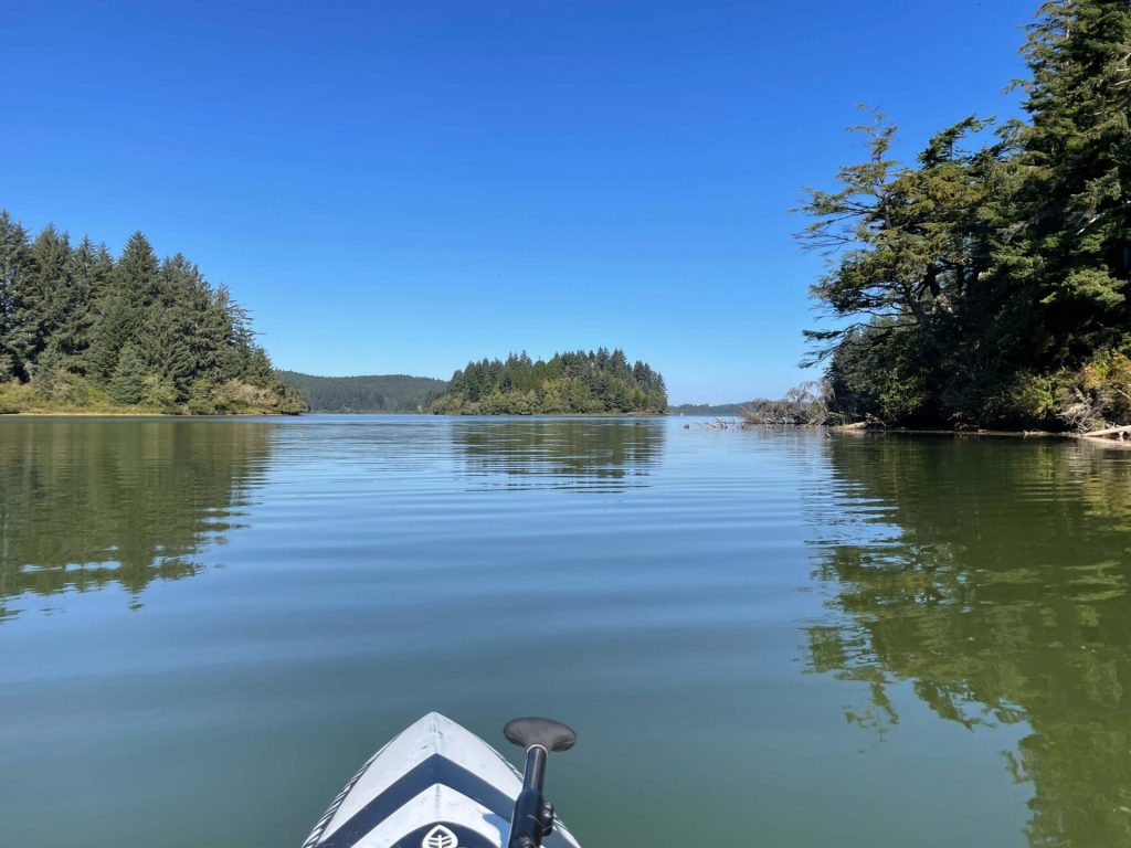
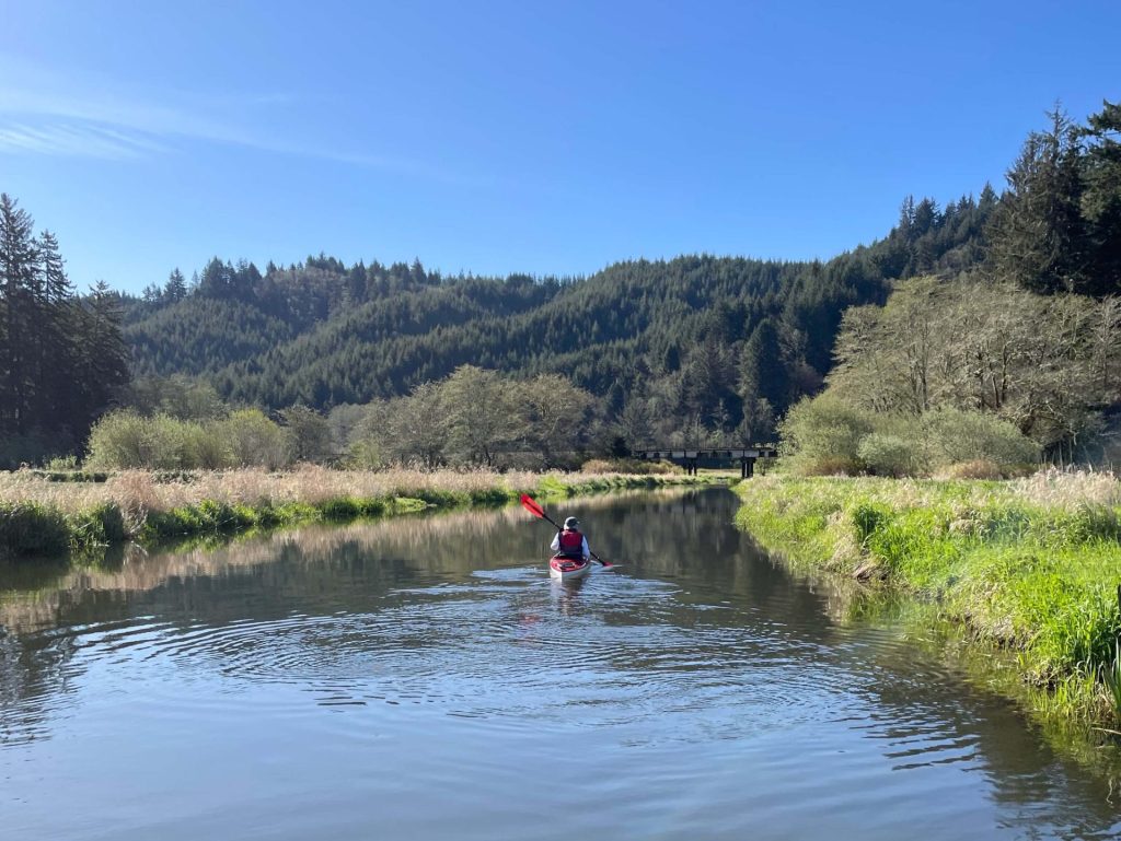
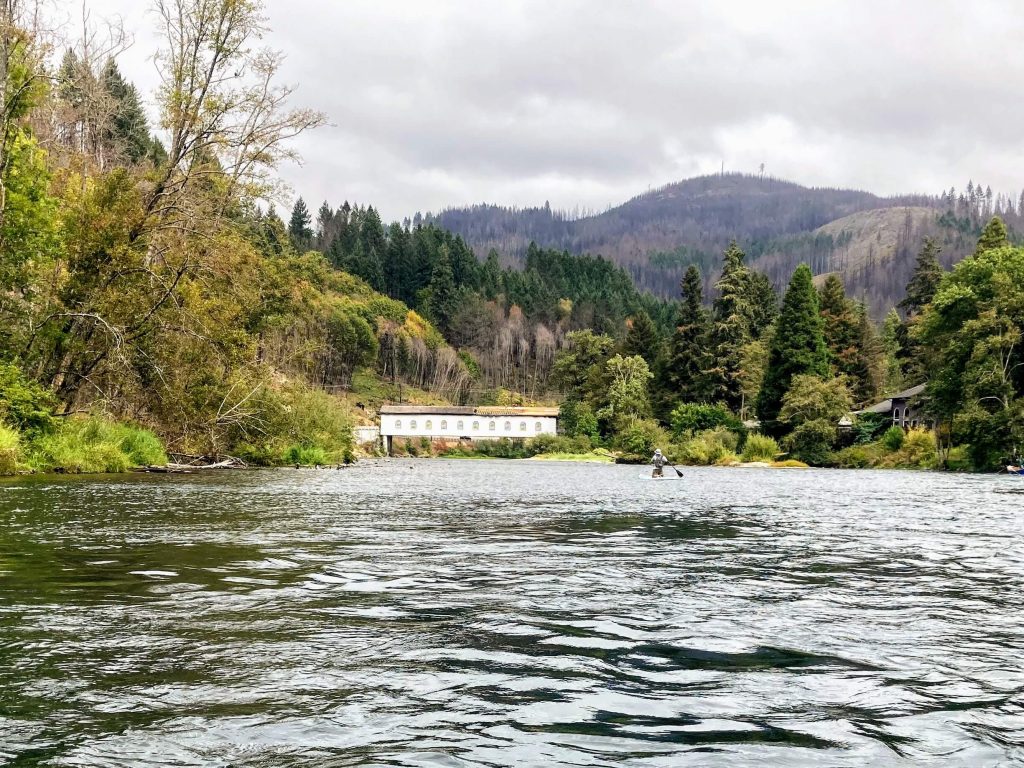
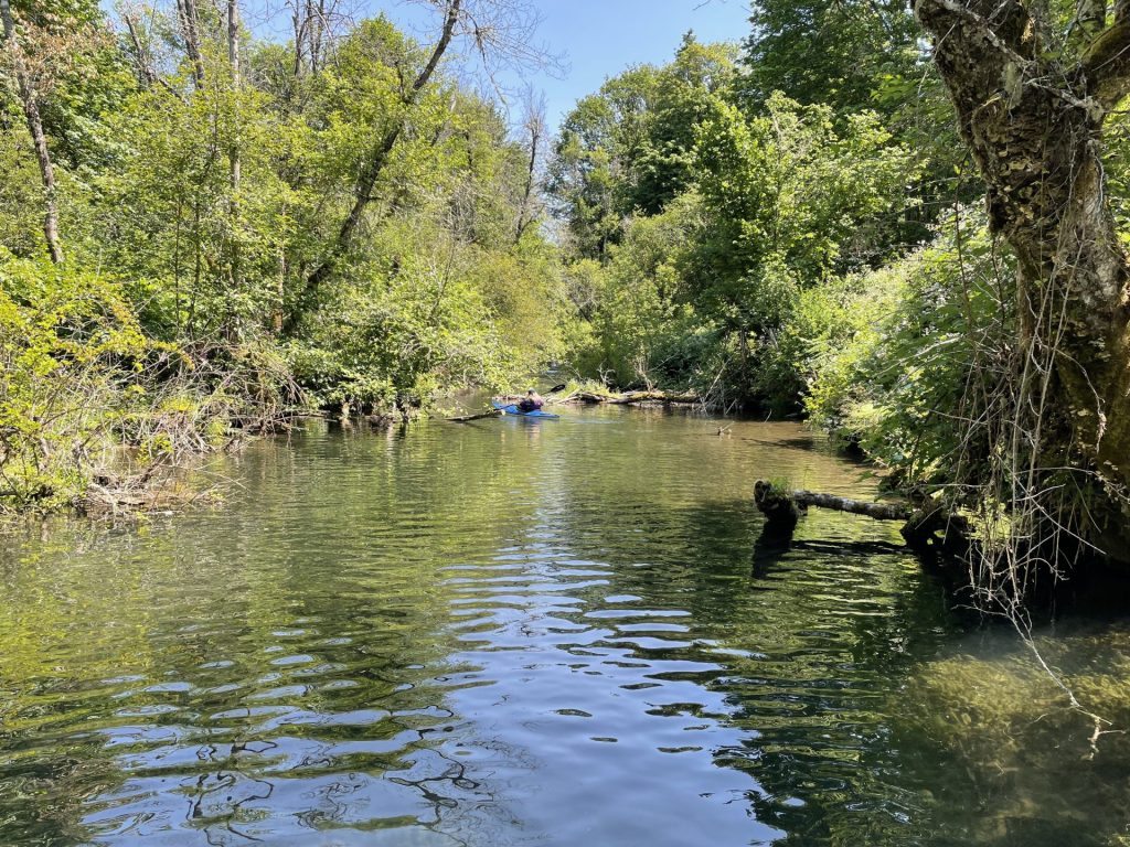
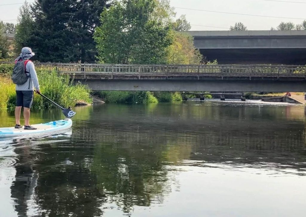
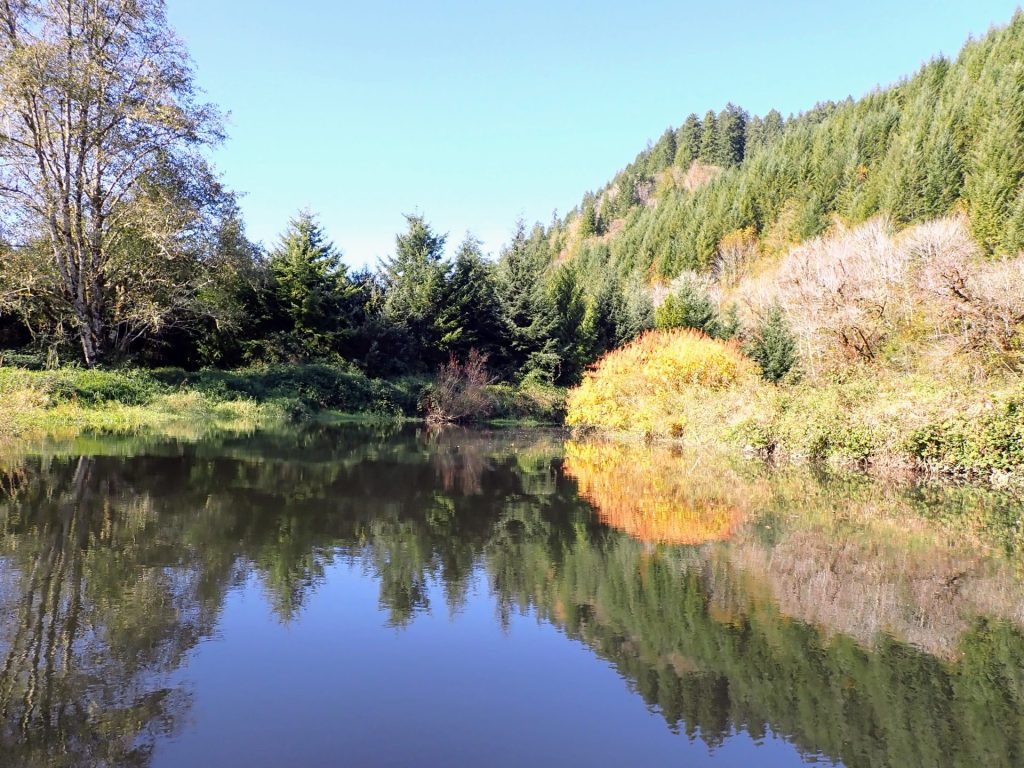
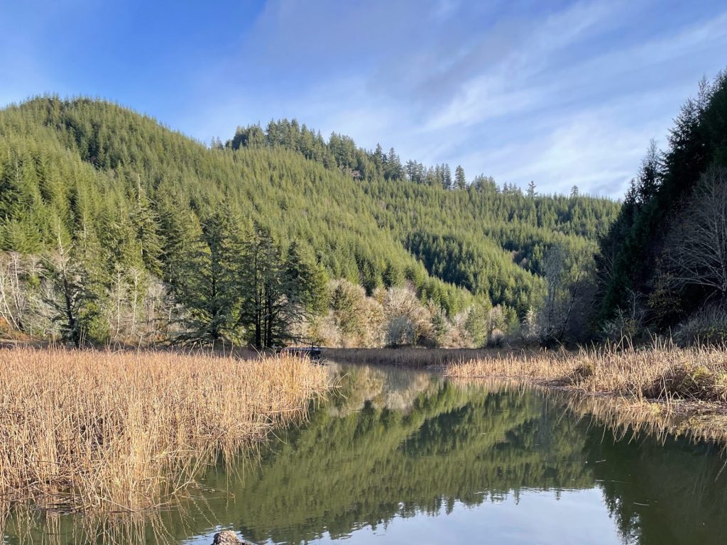
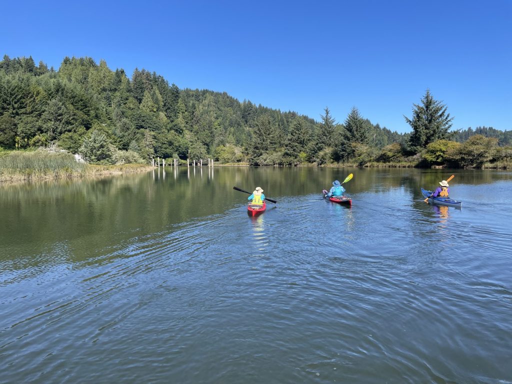
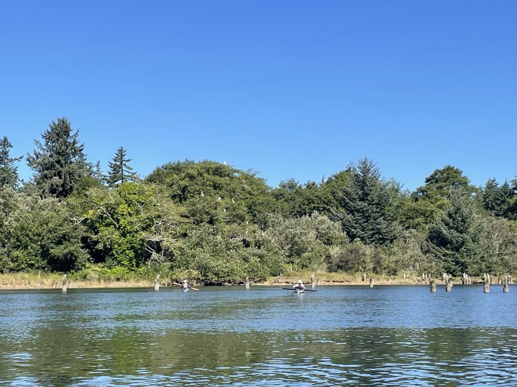
Tahkenitch Lake, located between Florence and Reedsport, is one of the larger coastal dune lakes. The many arms of the lake provide about 27 miles of shoreline with coves, marshes, and wetlands, making it a paradise for paddlers and fishermen alike.
Tahkenitch Lake is a beginner-friendly lake under good weather conditions. The main limitation for paddlers would be the strong winds that can start as early as noon.
Good to Know:
- Cellular reception is fair here.
- This location is good for year-round paddling.
- A good map (printed or offline) is recommended here due to the similar shoreline patterns.
Put-In Locations:
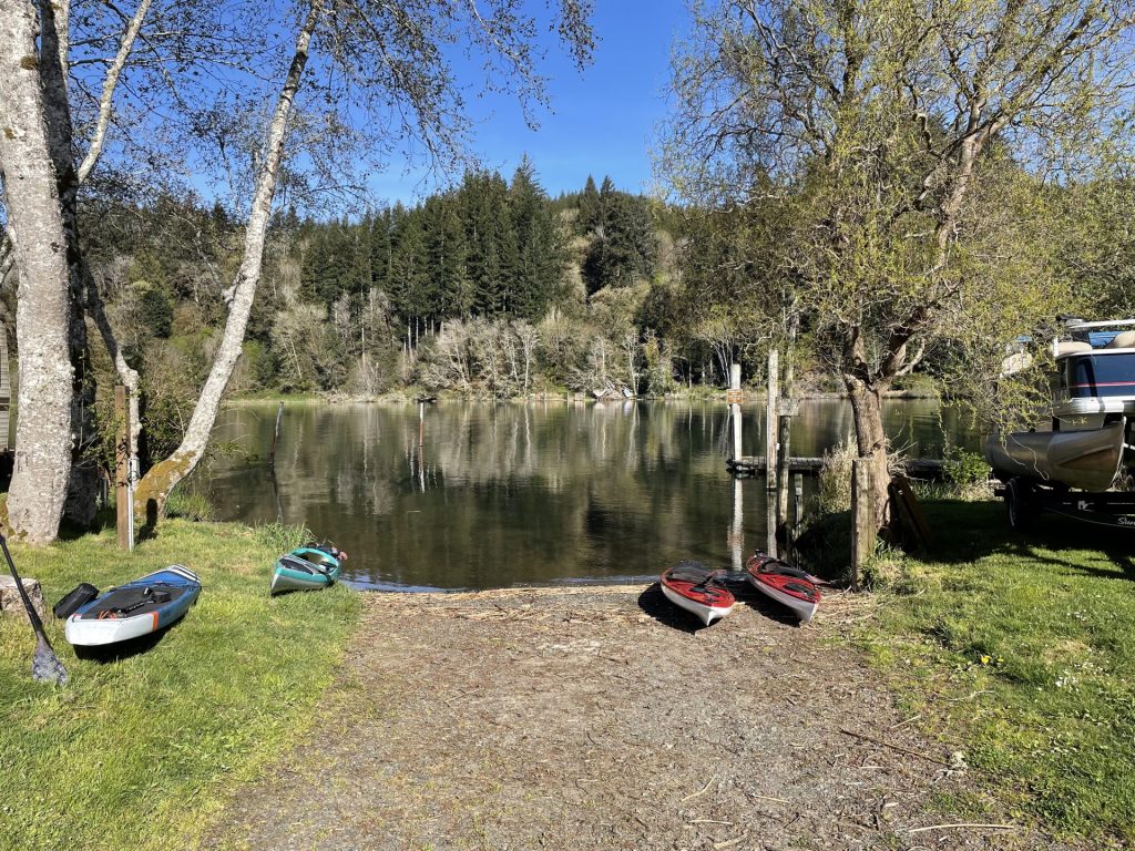
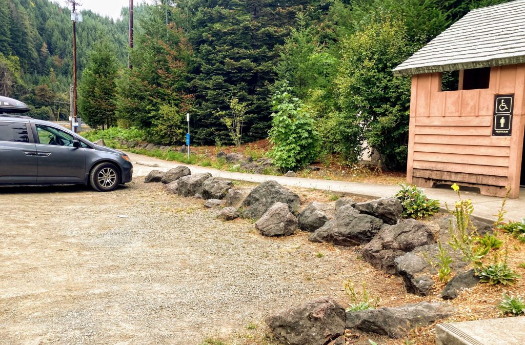
Tahkenitch Lake Boat Ramp
- Parking fee: USFS day use fee
- Launch type: boat ramp, dock
- Restrooms: vault
- Open: year-round


Driving Directions:
The Tahkenitch Lake Boat Ramp is north of the Tahkenitch Landing Boat Ramp.
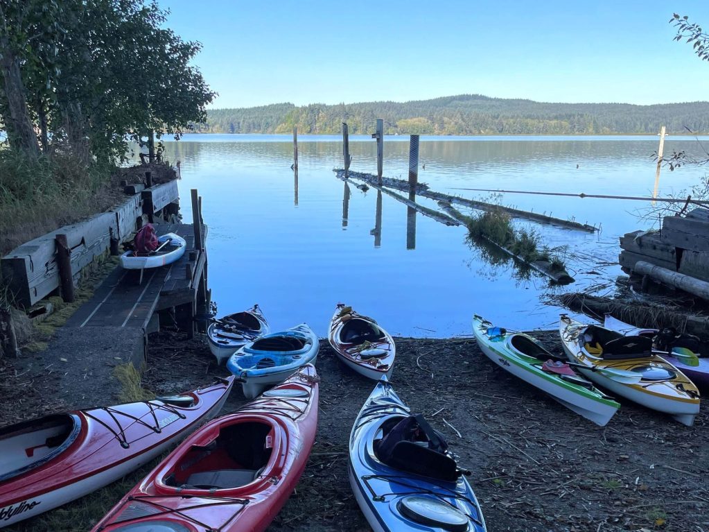
Tahkenitch Landing
- Parking fee: USFS day use fee
- Launch type: boat ramp
- Restrooms: vault
- Open: year-round, 6am- 10pm


Driving Directions:
The Tahkenitch Landing Boat Ramp is 1/4 mile south of the Tahkenitch Lake Boat Ramp and is located at the Tahkenitch Landing Campground. (Don’t confuse this with the Tahkenitch Campground located on the west side of Hwy 101.)


Check before you go:
- Maps and Suggested Routes: Download or print out a map before you go from the SWT Planner App. As a premium member, you can access an ever-growing library of paddling-related maps and suggested routes.
- Weather: Check the weather forecast and pay attention to the wind.
- Water Temperature: Read the cold water safety page if you need more background info.
- Inspect your watercraft. You can help prevent the spread of aquatic invasive species by wiping off any vegetation or debris from your watercraft and making sure it is dry each time before entering a new waterway.
- PFD, Whistle, and Waterway Access Permit: In Oregon, all paddlecraft 10′ or longer (including SUPs, kayaks, and canoes) require a permit. You can purchase the permit online.
Beware that the routes and information on this site are just general guides and the best path may vary based on water level, obstructions, experience level, equipment, and other conditions. Paddlers are responsible for providing their own safety. Super Water Trails does not assume any liability.