Skip ahead to check conditions
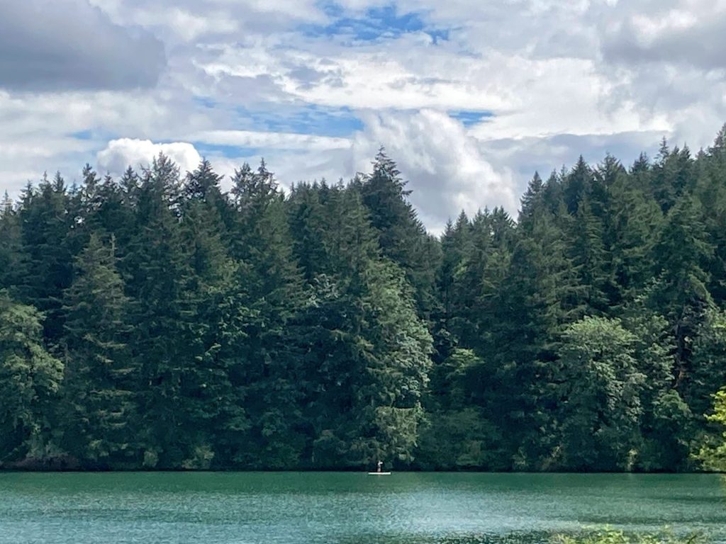
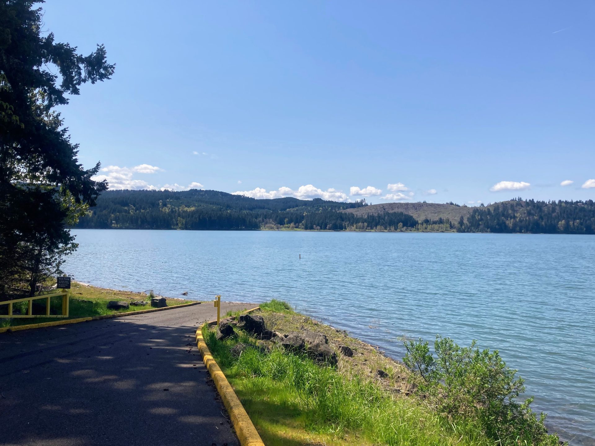
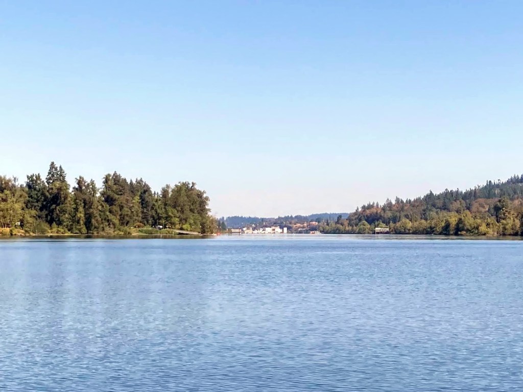
Blue River Reservoir is about an hour east of Eugene in the Cascade foothills. The reservoir provides flood control and irrigation for the McKenzie River downstream and is also popular for boating, paddling, fishing, swimming, and waterskiing. The water warms up to a comfortable 70F in the summer months, unlike the nearby McKenzie River.
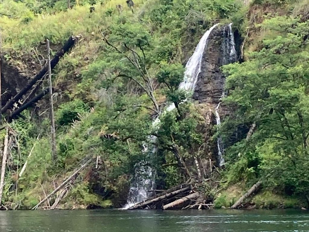
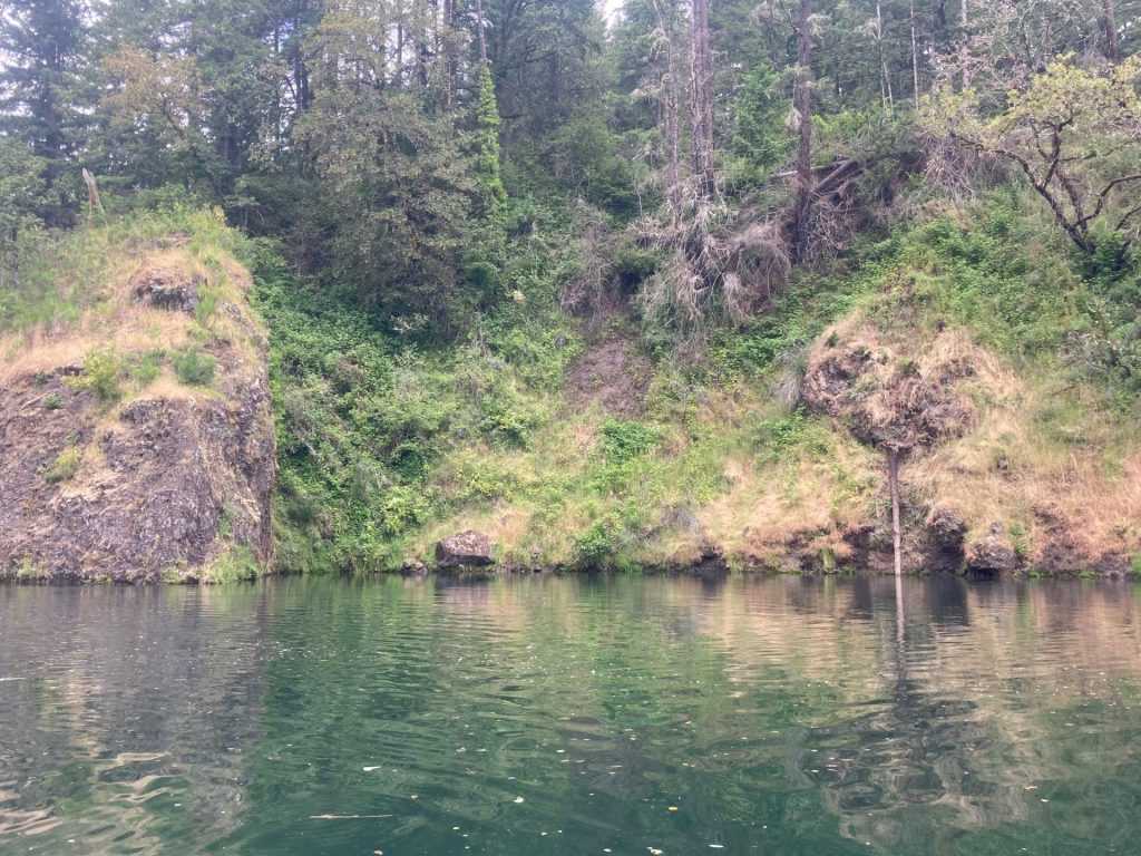
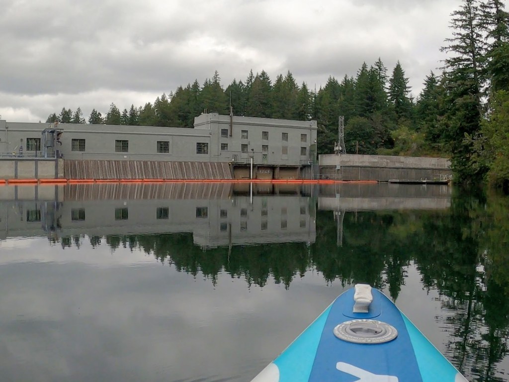
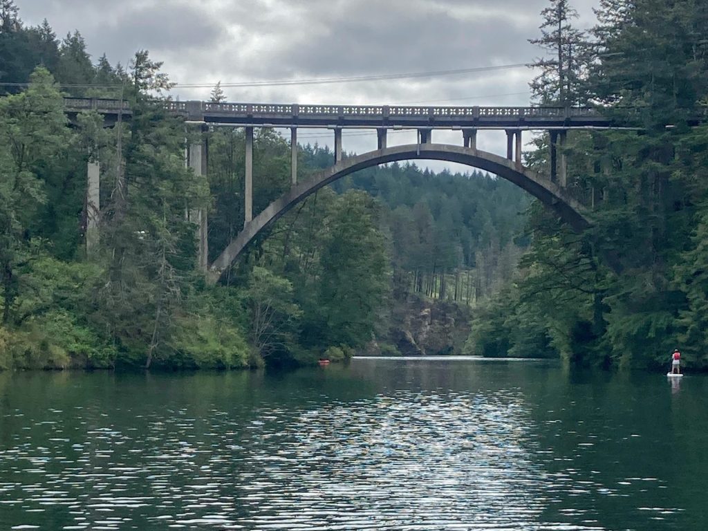
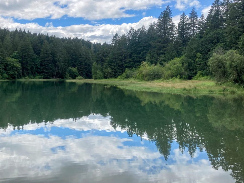
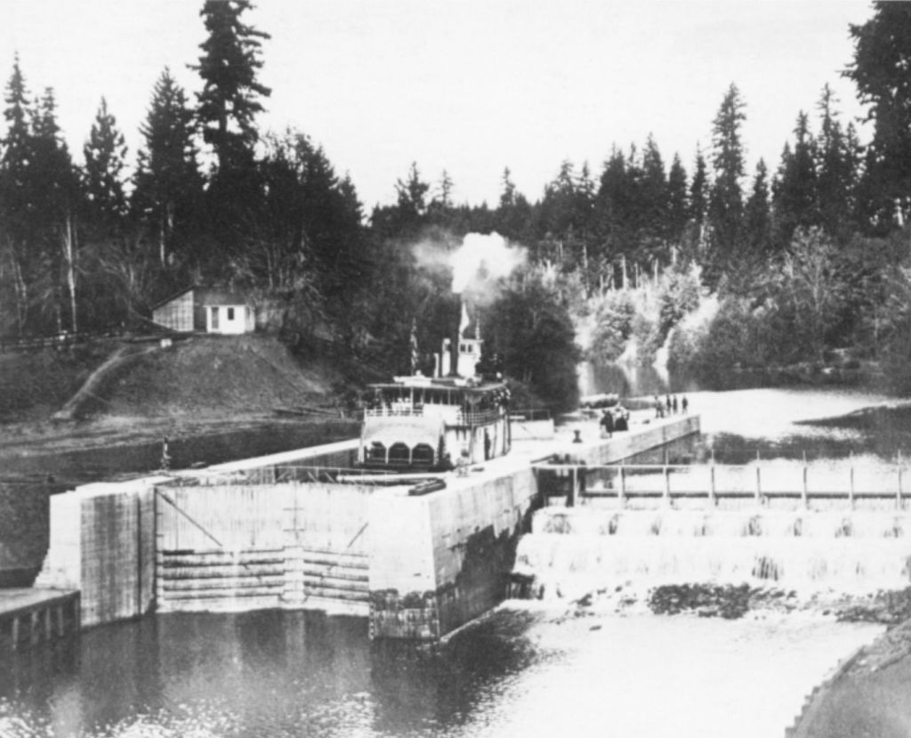
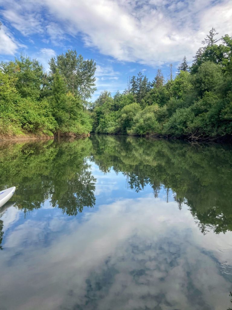
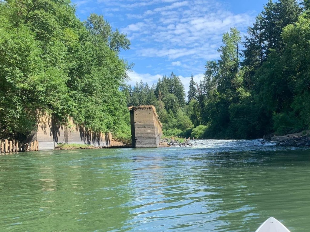
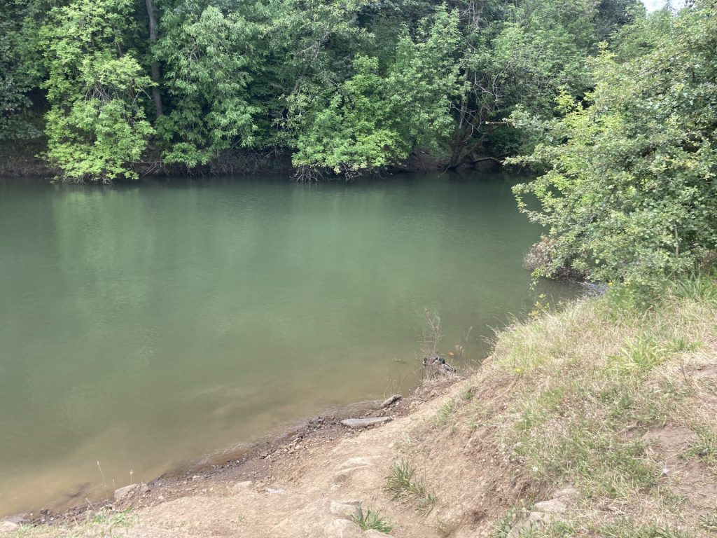
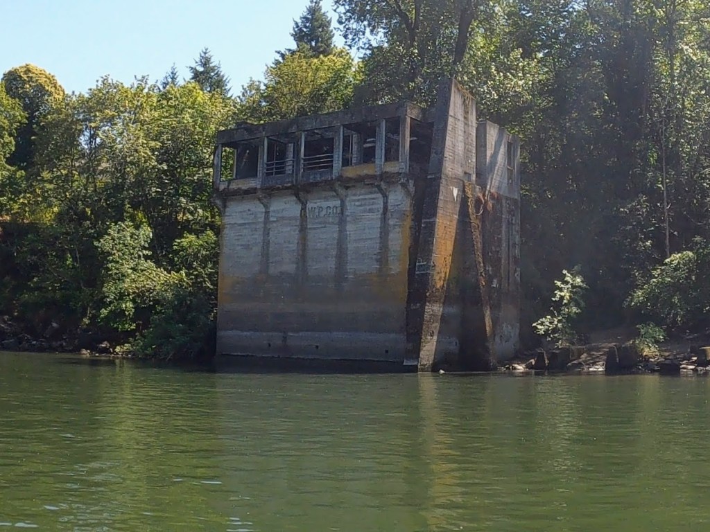
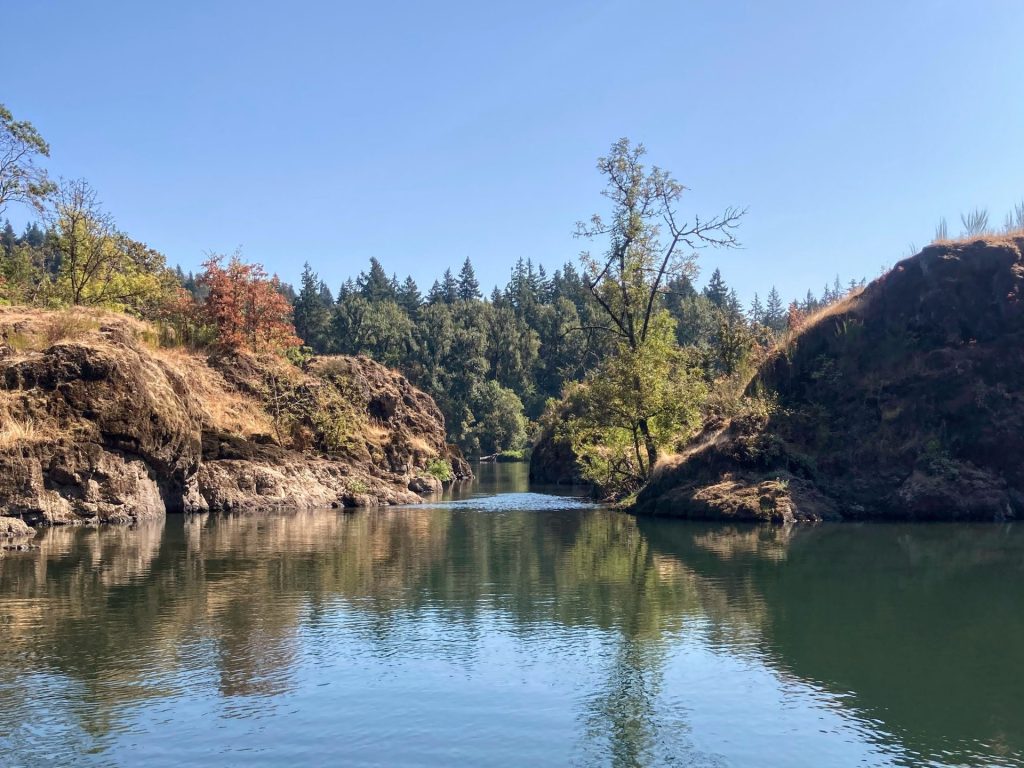
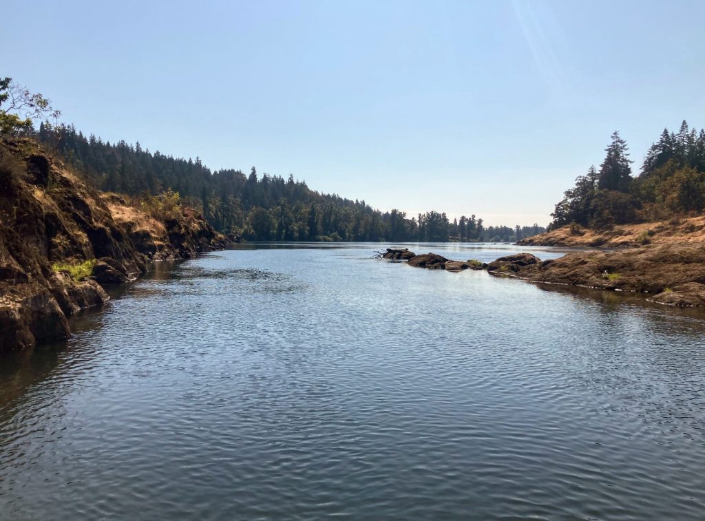
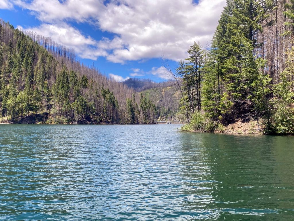
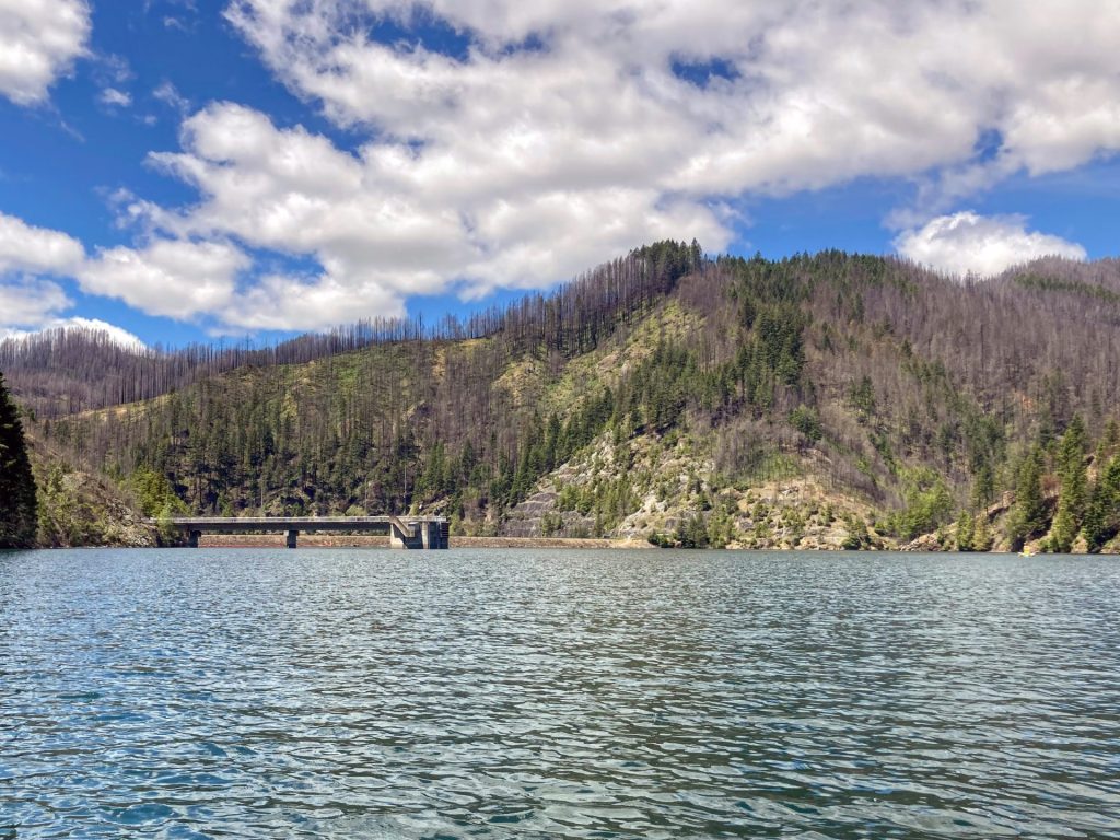
Blue River, which is deserving of its name, flows into the reservoir next to Lookout Campground. The reservoir fills in a narrow steep canyon which then winds its way to Saddle Dam at almost the midpoint and finally to Blue River Dam at the opposite end.
There are 16 miles of forested shoreline that you could potentially explore on this elongated reservoir. But the strong winds, which usually come up by early afternoon, hinder longer explorations for most paddlers.
Good to Know:
- Cellular reception is poor.
- Watch for strong winds, typically starting in the early afternoon and especially when paddling in the direction towards Blue River Dam or towards the Lookout boat launch.
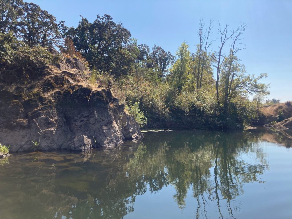
- It is a good idea to bring a map for this one as the landmarks may be difficult to differentiate when you are out there.
Put-In Locations:
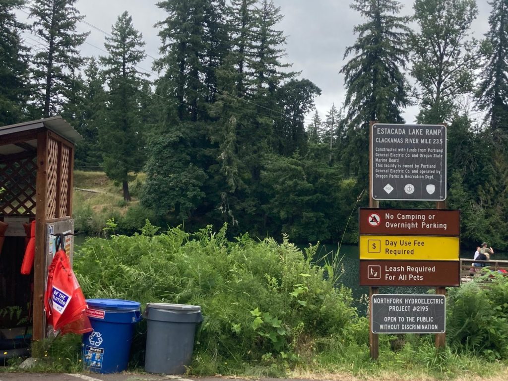
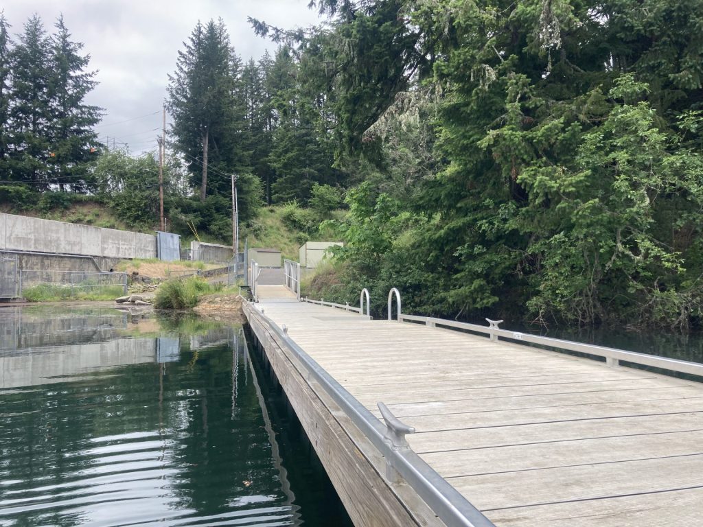
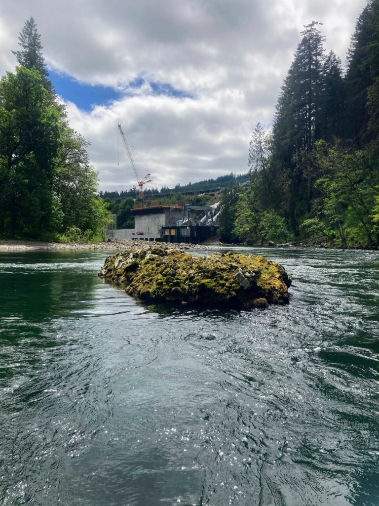
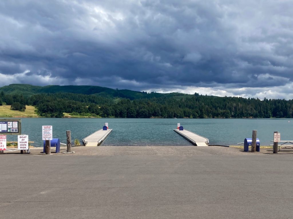
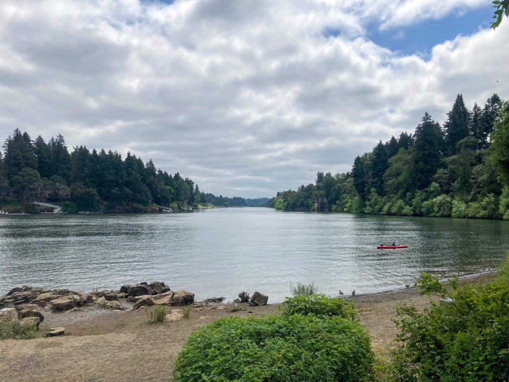
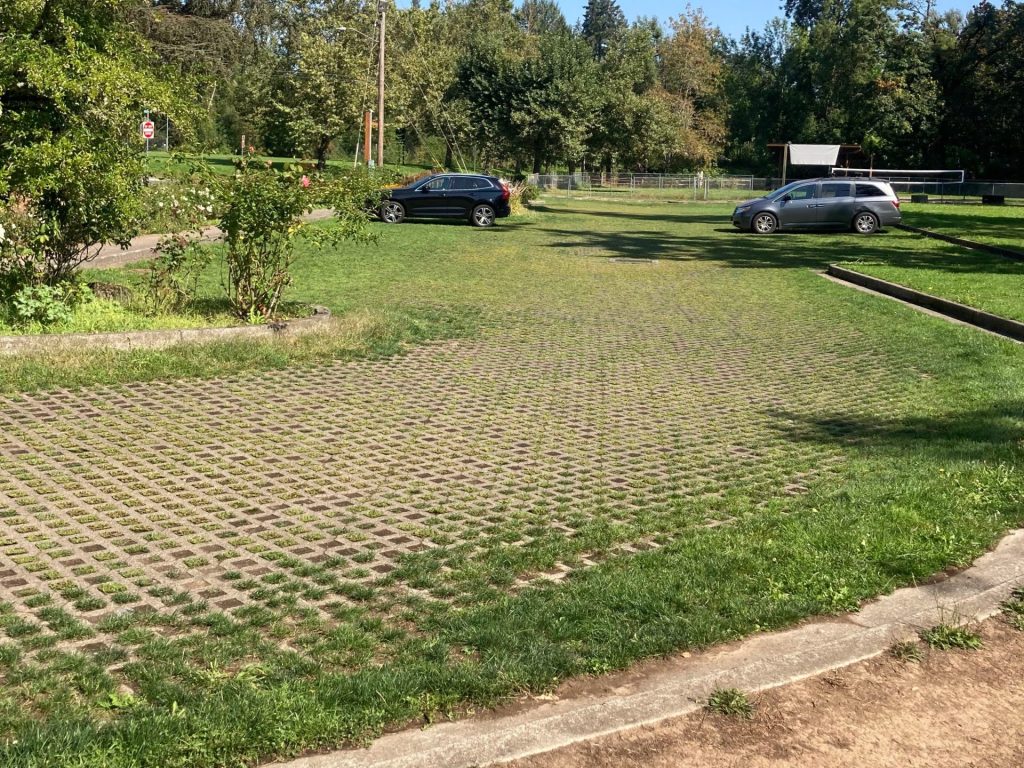
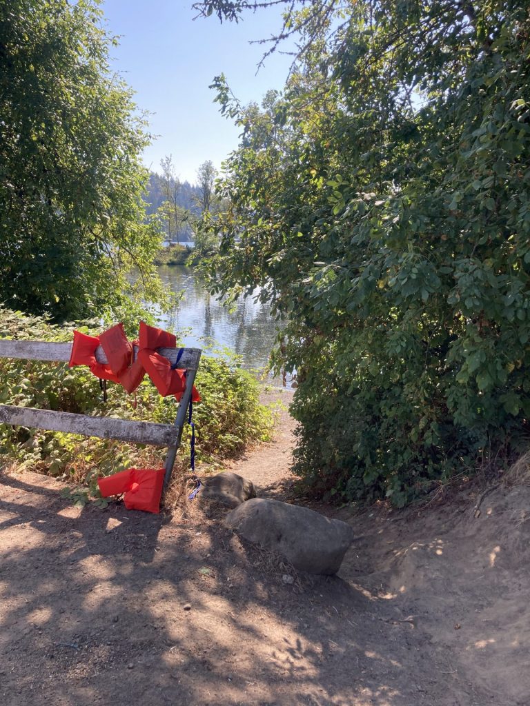
Saddle Dam
- Parking fee: $6 day use fee or NW Forest Pass (or equivalent)
- Launch type: concrete boat ramp
- Restrooms: vault
- Open: mid-March to mid-Oct depending on water levels (> 1295 ft), verify park status
Saddle Dam boat launch has about 15-20 parking spaces on a gravel lot, with room for trailers.


Driving Directions:
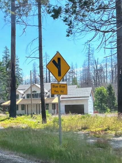
From Eugene/ Springfield: take OR-126E about 37 miles, pass the sign for Blue River Reservoir, then make left onto Old Scout Road (Forest Road 15). Continue on this paved road for 1.1 miles until you reach the boat launch on your left.
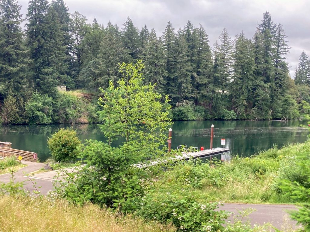
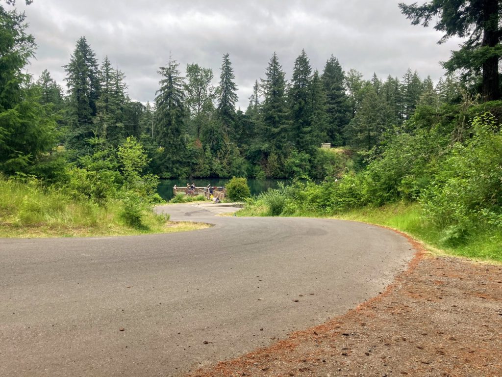
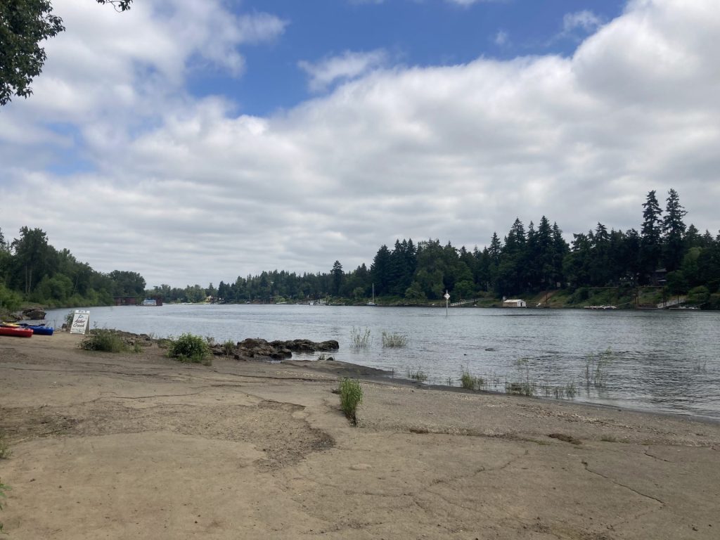
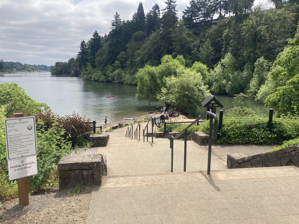
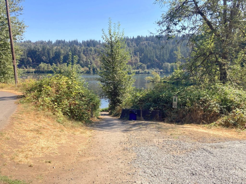
Lookout Boat Launch
- Parking fee: $7 day use fee , no passes honored
- Launch type: boat ramp, dock
- Restrooms: vault
- Open: year-round, check park status
This boat launch is located on the upper end of the reservoir and the boat ramp may be out of the water before the Saddle Dam boat ramp.
Driving Directions:
From Eugene/ Springfield: take OR-126E about 37 miles, pass the sign for Blue River Reservoir, then make a left onto Old Scout Road (Forest Road 15). Continue on this paved road for about 3.6 miles until you reach Lookout Boat Launch and Campground on your left.
*Time is roughly based on a leisurely paddle pace in typical conditions and includes breaks for longer distances. Wind, current, equipment, and the paddler’s fitness and motivation can greatly affect this estimate.


Additional things to do:
- Camp at Mona campground or Lookout Campground, both USFS-managed campgrounds on the far northeast end of the lake. You should know that when the water level is low, it may not reach this end of the lake.
Check before you go:
- Maps and Suggested Routes: Download or print out a map before you go from the SWT Planner App. As a premium member, you can access an ever-growing library of paddling-related maps and suggested routes.
- Weather: Check the weather forecast and pay attention to the wind forecast.
- Parking fee: You can purchase the Northwest Forest Pass or day use fee before you go and save a little money. Either purchase this online or get it at a local vendor.
- Water level: This reservoir fills starting 2/1 and starts emptying 9/1 each year (water level may also drop due to evaporation over the summer).
- Toxic algae blooms: This temporary condition occurs at some of the area lakes in the summer and may affect your health if water or fish is consumed during these conditions. Get more info on how to tell if algae is harmful and watch for water advisories but also use common sense if you see water that doesn’t look right.
- Inspect your watercraft. You can help prevent the spread of aquatic invasive species by wiping off any vegetation or debris from your watercraft and making sure it is dry each time before entering a new waterway.
- PFD, Whistle, and Waterway Access Permit: In Oregon, all paddlecraft 10′ or longer (including SUPs, kayaks, and canoes) require a permit. You can purchase the permit online.
Beware that the routes and information on this site are just general guides and the best path may vary based on water level, obstructions, experience level, equipment, and other conditions. Paddlers are responsible for providing their own safety. Super Water Trails does not assume any liability.