

As a safety measure while paddling, it is crucial to consider your conditions and make use of helpful tools such as a paper map, GPS guidance, or even a combination of both. These resources will provide valuable assistance in navigating your way effectively. While a good waterproof map is relatively inexpensive and doesn’t rely on the charge of your batteries, it can sometimes be difficult to determine your location visually when the landmarks look very similar. Alternatively, GPS guidance may not be completely accurate in difficult terrain and requires battery power.
The maps included here have been formatted to print out properly on an 8.5″ x 11″ sheet of paper. There are a few methods you may consider for making your map waterproof. You can print it out on waterproof paper, laminate it, or use a waterproof spray. Having a map and compass may save you when your phone battery has died or if you are in an area where the GPS signal is delayed or unreliable.
The maps are also encoded with geospatial information so you can scan the QR code to a smartphone app such as Avenza Maps and use the phone’s GPS for offline navigation. The use of Avenza Maps app is free as long as you limit the number of active maps to three. The slideshow below runs through the steps of using your maps with Avenza:
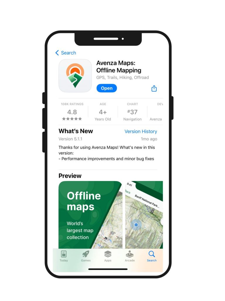
Get the free Avenza app 
Scan QR code to get map onto your phone (or download it directly from your phone). Do this step before you go. 
When you are ready to use your map, select the map that is loaded onto Avenza. 
Select tools (bottom right). You can choose to measure, record tracks, navigate, etc. 
Select “Record GPS tracks” to start tracking your route!
