Skip ahead to check conditions
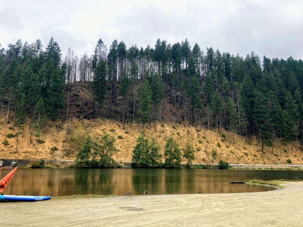
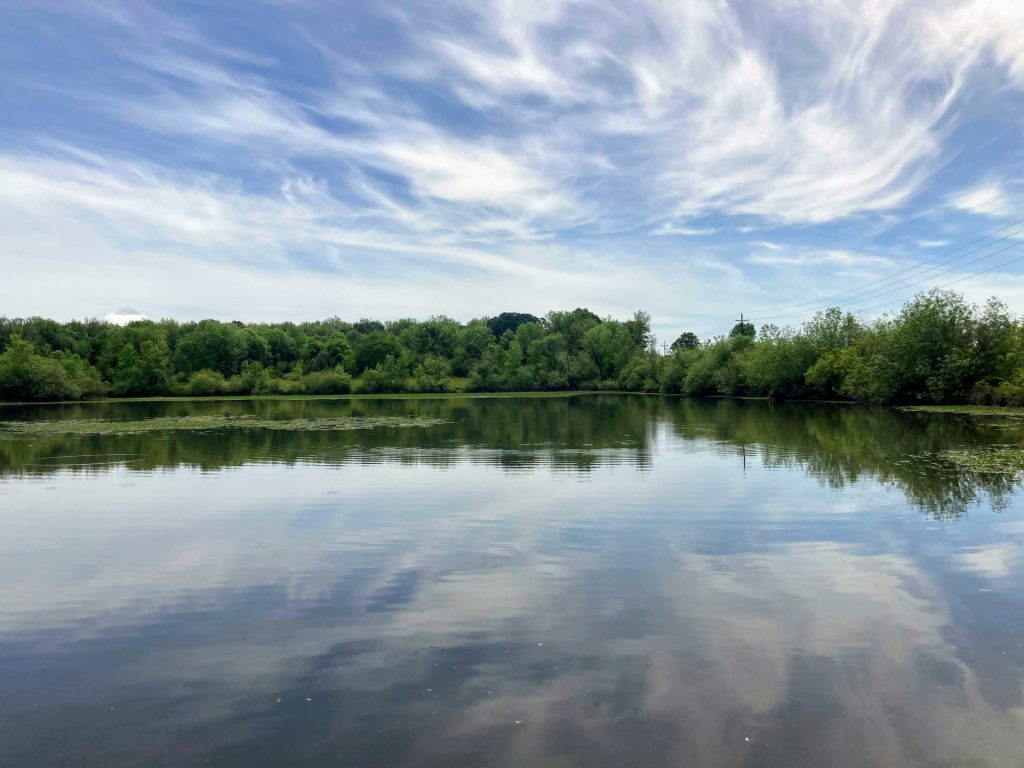
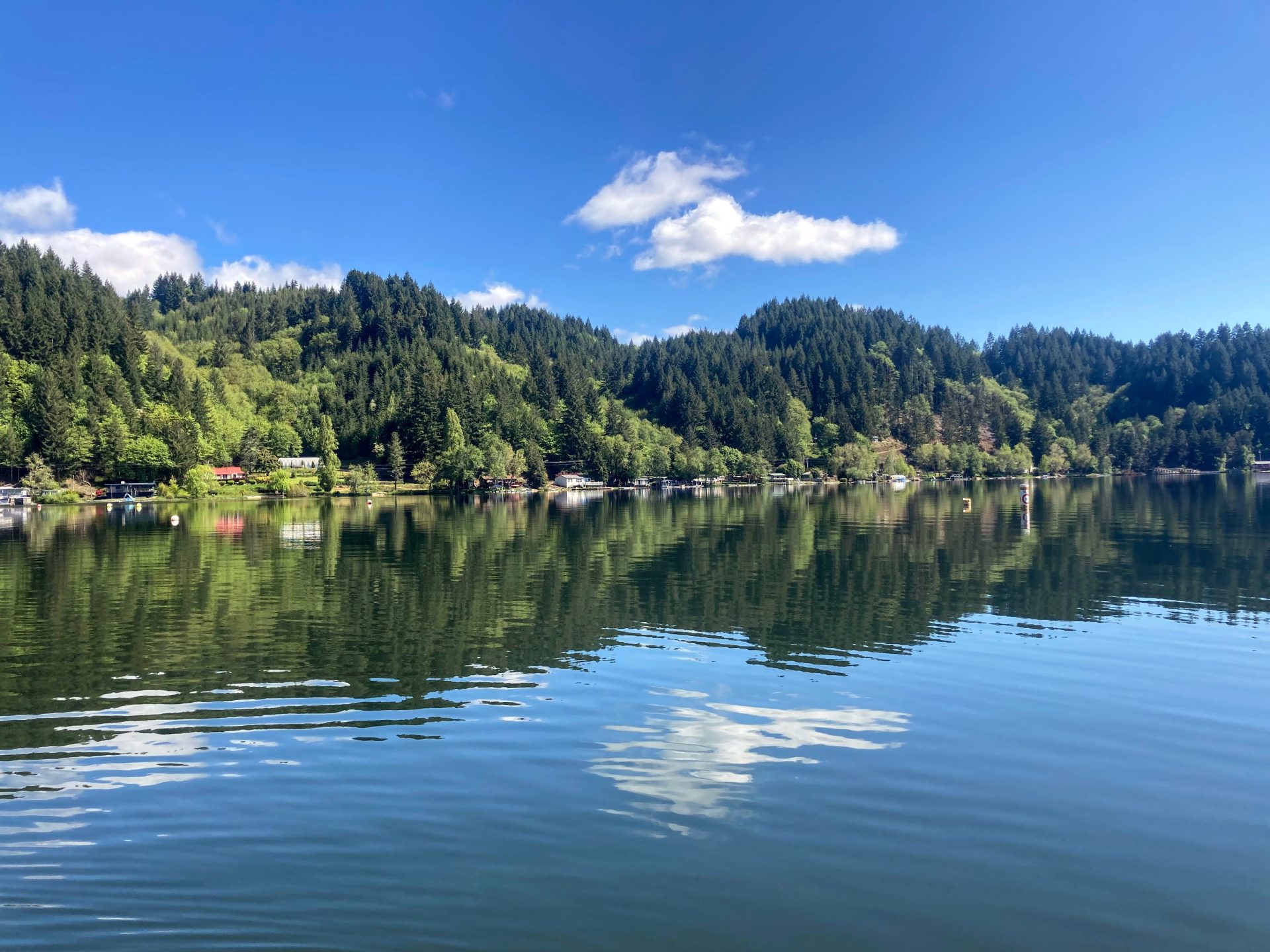
Dorena Reservoir is an impoundment of the Row River in Cottage Grove, Oregon. Even though it is less than 30 miles south of Eugene, this area feels like a hidden gem with miles of easily accessible hiking and biking trails, waterfalls, and of course, paddling.
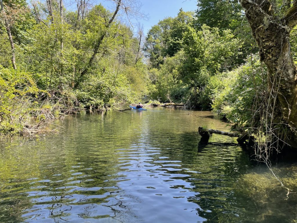
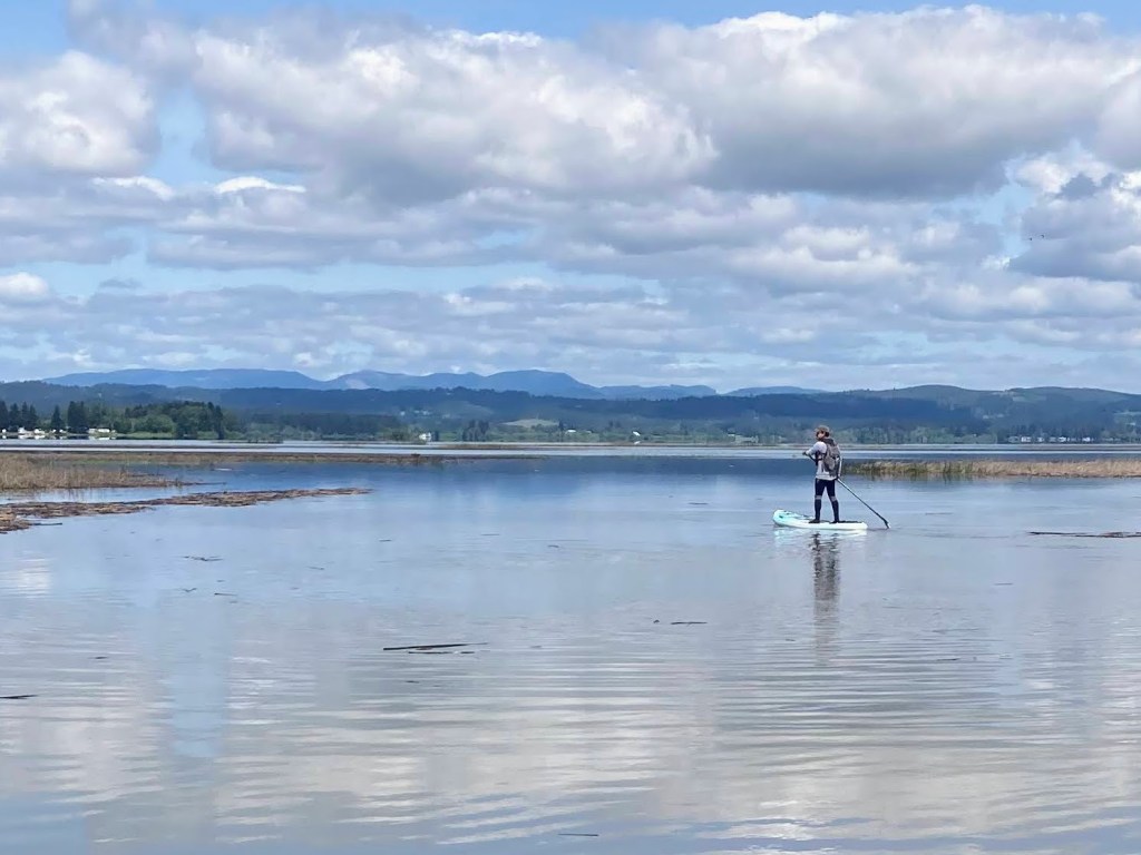
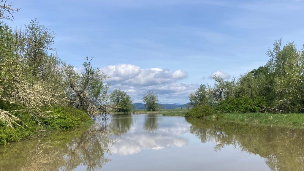
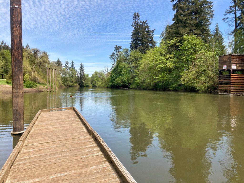
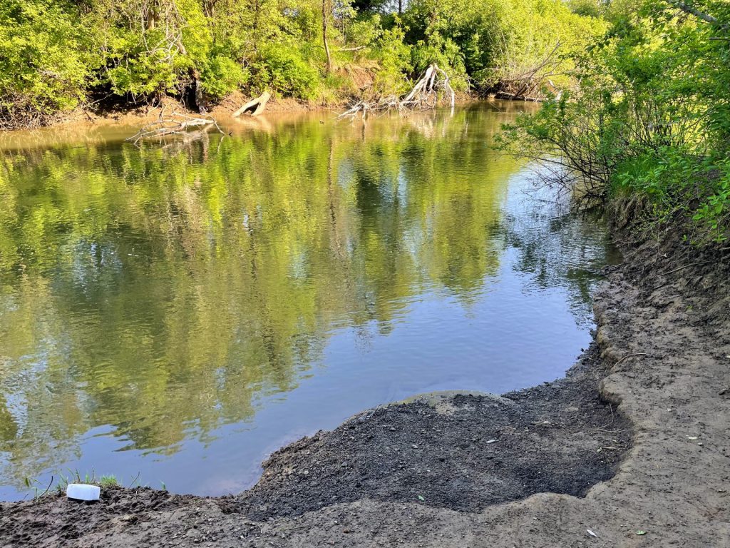
At full pool, a paddle around the entire lake would take about 3 1/2 hours (8.4 miles)*. The inlet which is located in the no-wake zone can be paddled for a little distance. This would be to the right of Baker Bay or to the left from Harms Park.
*Time is roughly based on a leisurely paddle pace in typical conditions and includes breaks for longer distances. Wind, current, equipment, and the paddler’s fitness and motivation can greatly affect this estimate.
Good to Know:
- Cellular signal appears good at Harms Park but poor elsewhere.
- Watch for boat wake and chop in the open main portion of the lake.
- Water temperature warms up in the summer to 70s.
Put-In Locations
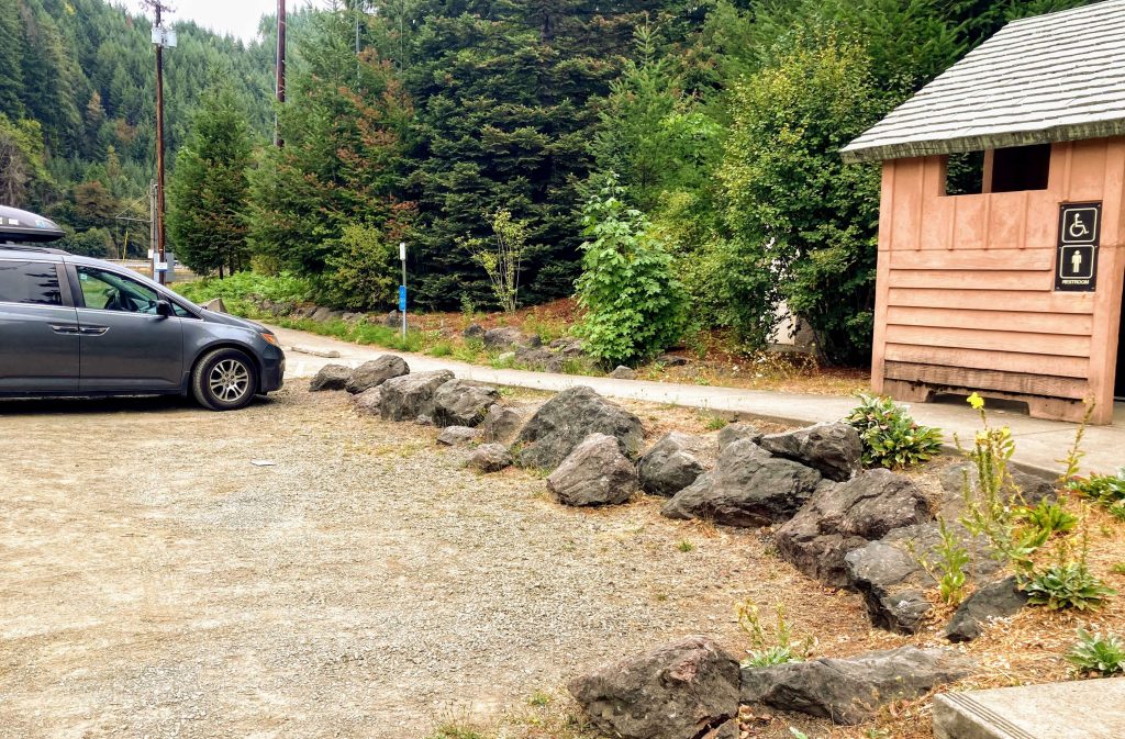
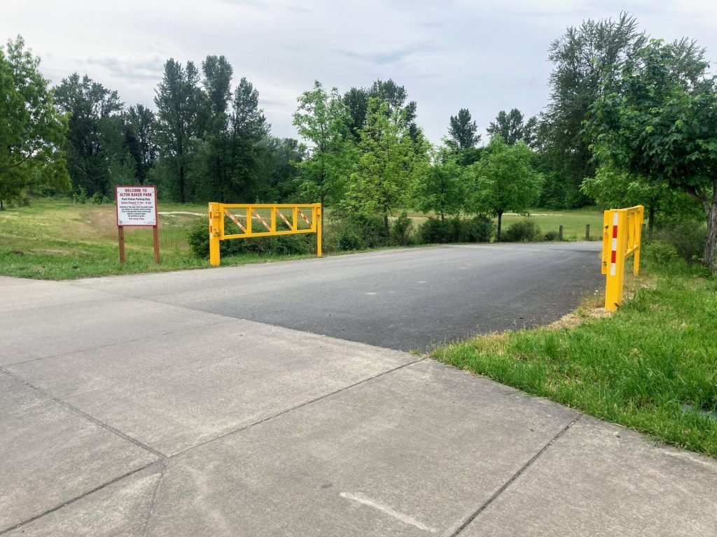
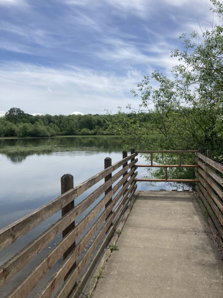
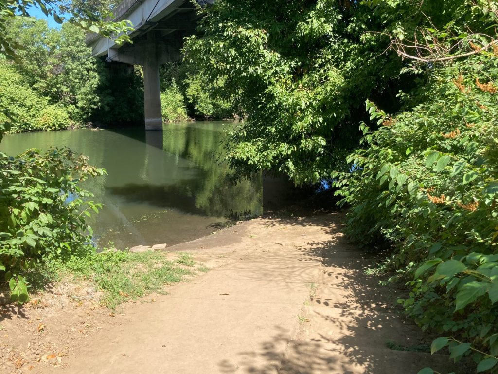
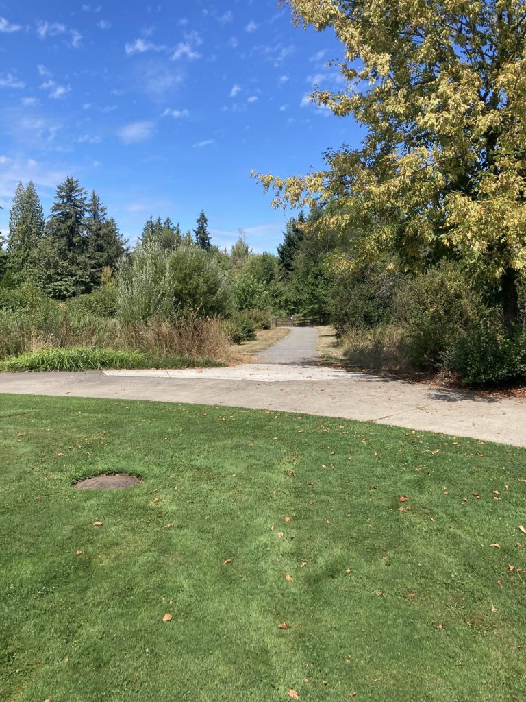
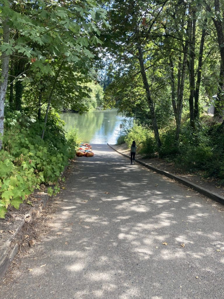
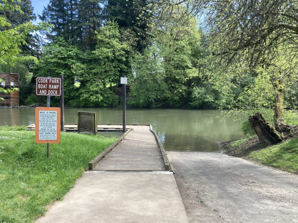
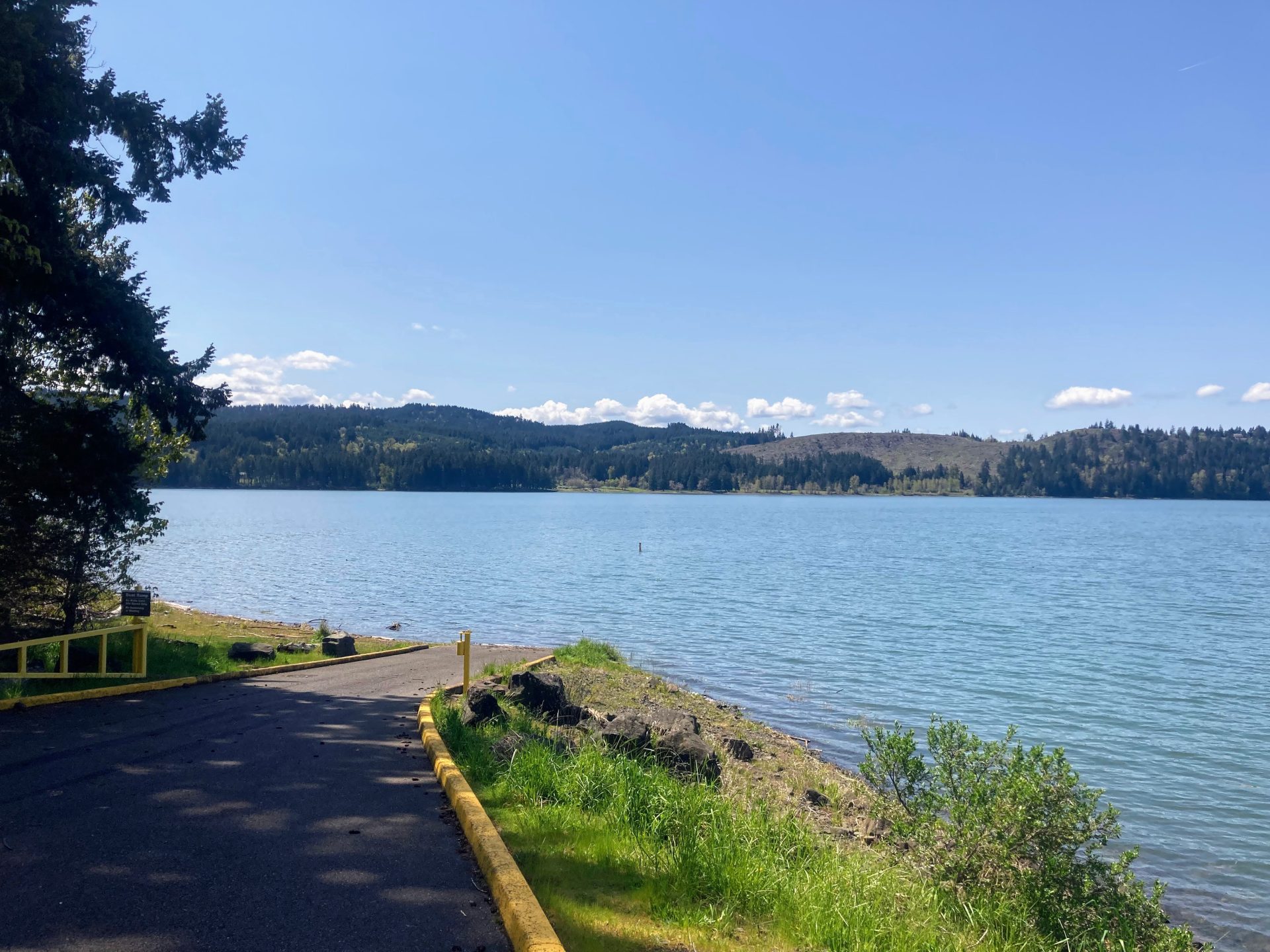
Harms Park
- Parking fee: none
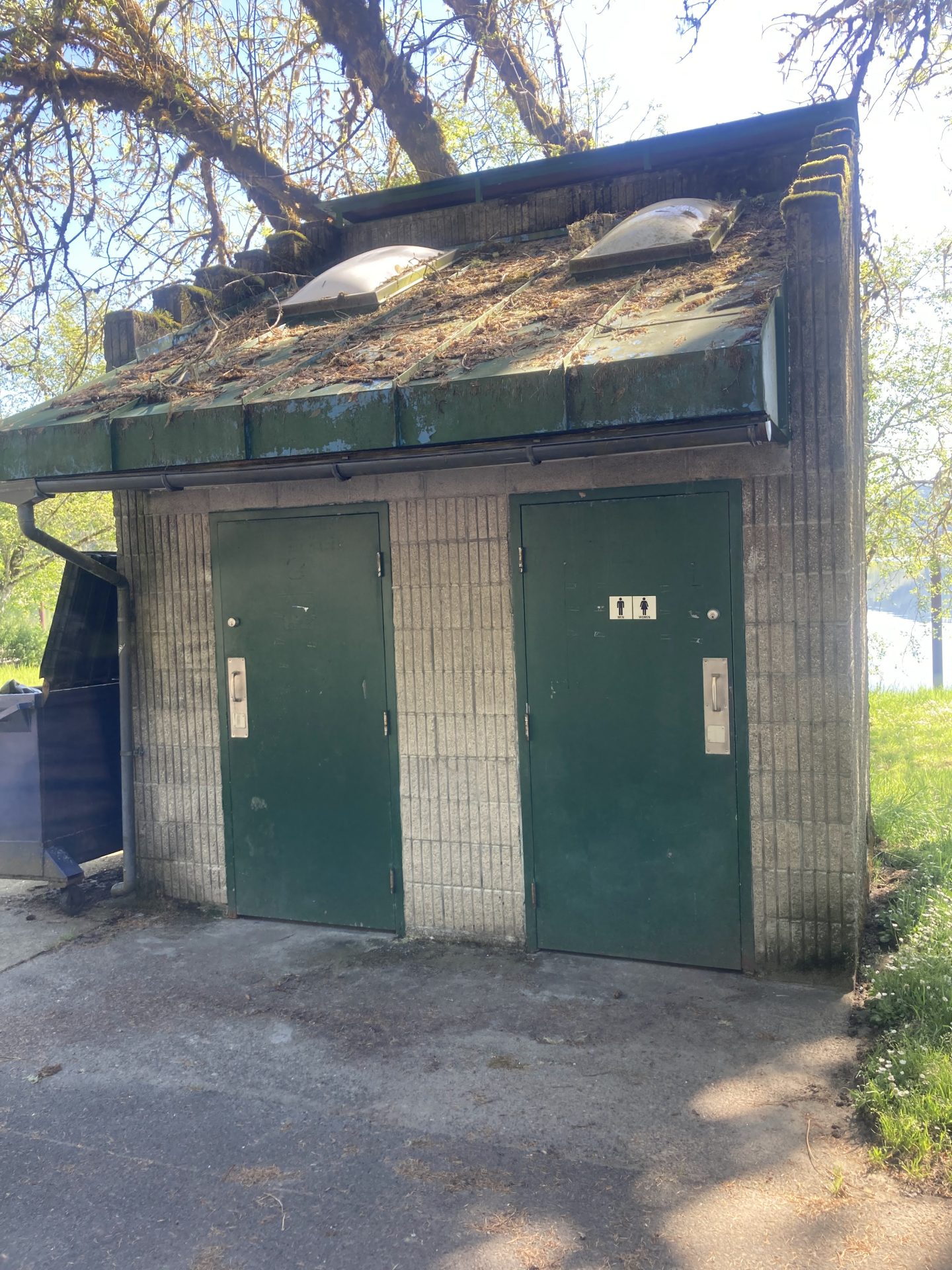
- Launch type: boat ramp
- Restrooms: vault
- Open: year-round
There are some picnic tables overlooking the lake but no swimming area.
Although this park is open year-round, the boat ramp closes when the water is low. Launching from this boat ramp is best when the reservoir is at or near full pool in the early to mid-summer months.
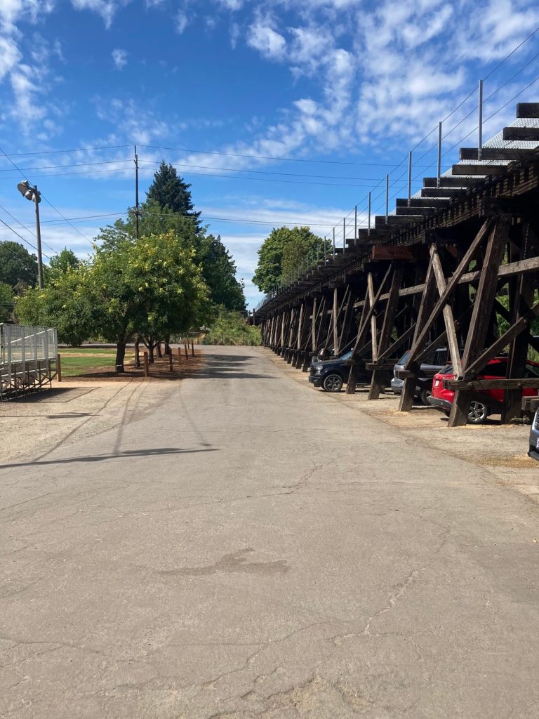
You can also access the Row River Trail from this park.
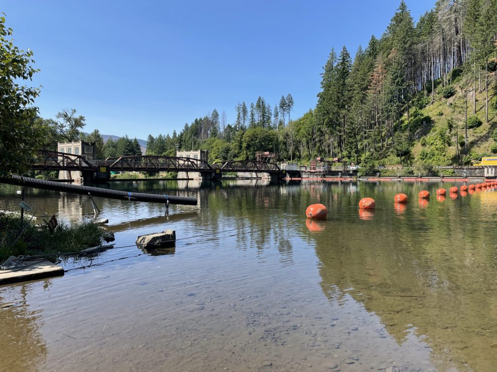
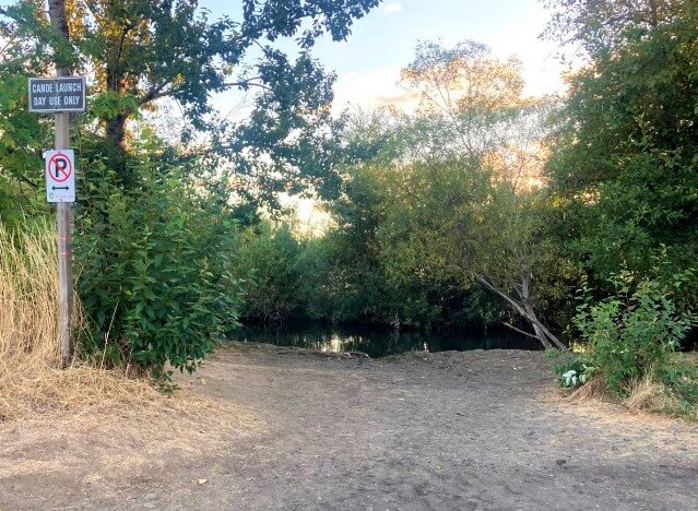
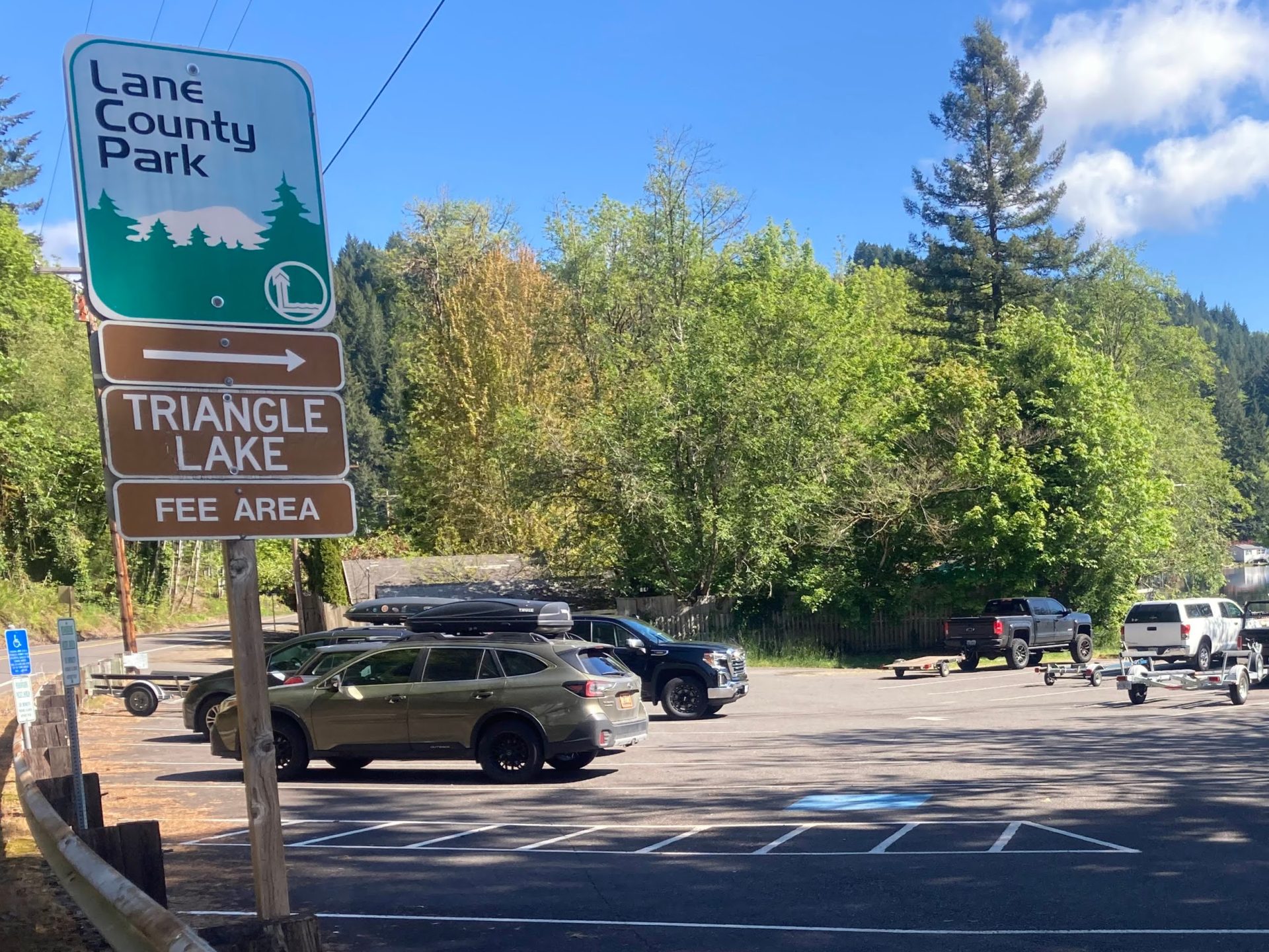
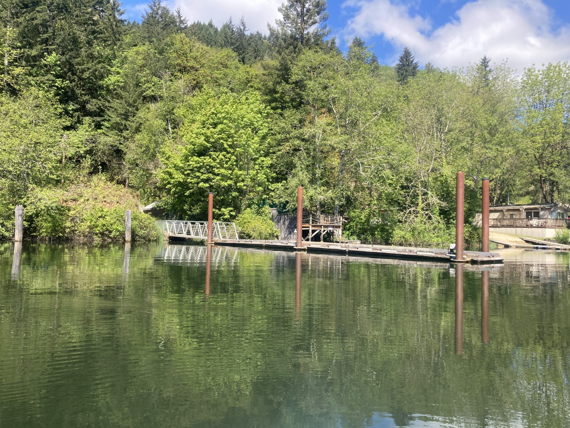
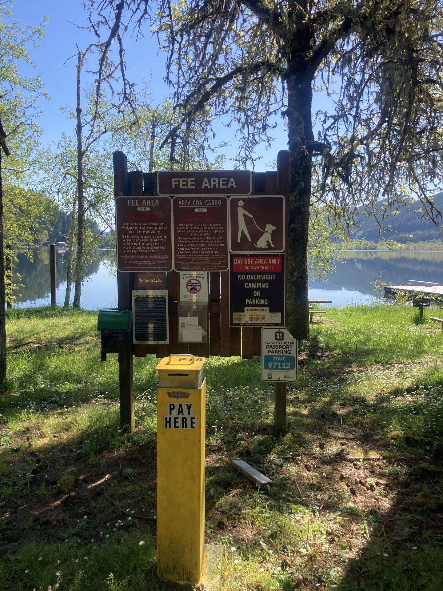
Baker Bay Marina
- Parking fee: Lane County pass or day use fee
- Launch type: boat ramp, dock, shore
- Restrooms: flush
- Open: mid April to mid October
There is a swim beach, seasonal rentals, and a campground here.


Additional Things to Do:
- Camp by the lakefront at Baker Bay campground
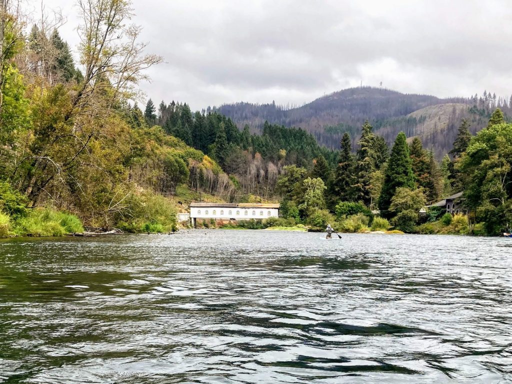
- Bike or hike the popular Row River Trail, a 14-mile long rails-to-trails conversion and site of multiple scenes from the 1986 movie Stand By Me.
- Drive down to Culp Creek (about 15 min. drive) to see Wildwood Falls.
Check before you go:
- Maps and Suggested Routes: Download or print out a map before you go from the SWT Planner App. As a premium member, you can access an ever-growing library of paddling-related maps and suggested routes.
- Weather: Check the weather forecast for the area and check the wind conditions.
- Toxic algae blooms: This temporary condition occurs at some of the area lakes in the summer and may affect your health if water or fish is consumed during these conditions. Get more info on how to tell if algae is harmful and watch for water advisories but also use common sense if you see water that doesn’t look right.
- Water Temperature: Read the cold water safety page if you need more background info. To get a general idea, here is the water temperature at a nearby reservoir.
- Water level– Watch for exposed mudflats when the water level starts dropping below the boat ramp level.
- Inspect your watercraft. You can help prevent the spread of aquatic invasive species by wiping off any vegetation or debris from your watercraft and making sure it is dry each time before entering a new waterway.
- PFD, Whistle, and Waterway Access Permit: In Oregon, all paddlecraft 10′ or longer (including SUPs, kayaks, and canoes) require a permit. You can purchase the permit online.
Beware that the routes and information on this site are just general guides and the best path may vary based on water level, obstructions, experience level, equipment, and other conditions. Paddlers are responsible for providing their own safety. Super Water Trails does not assume any liability.