Freeway Lakes

Skip ahead to check conditions

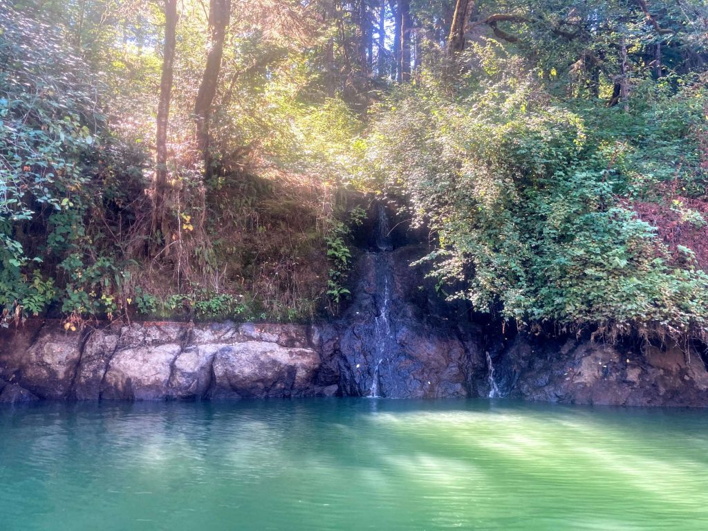
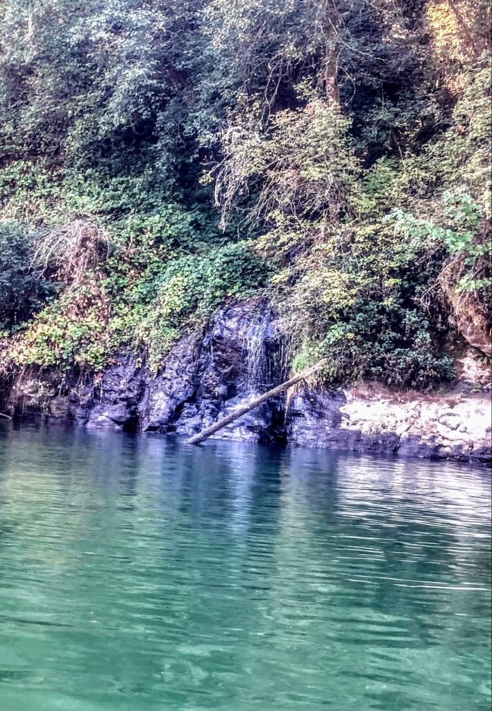
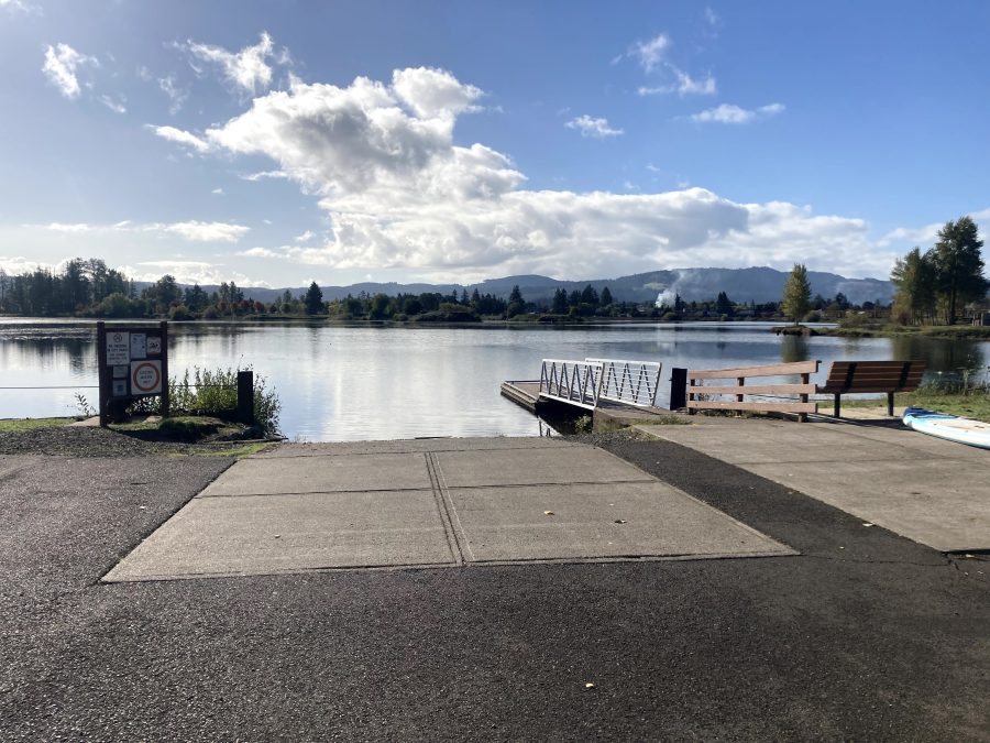
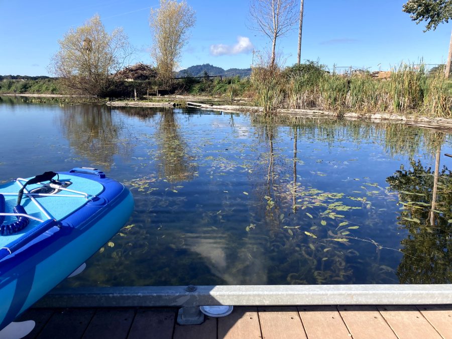
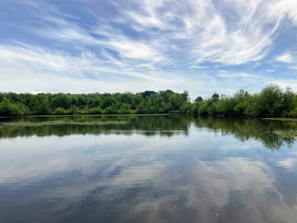
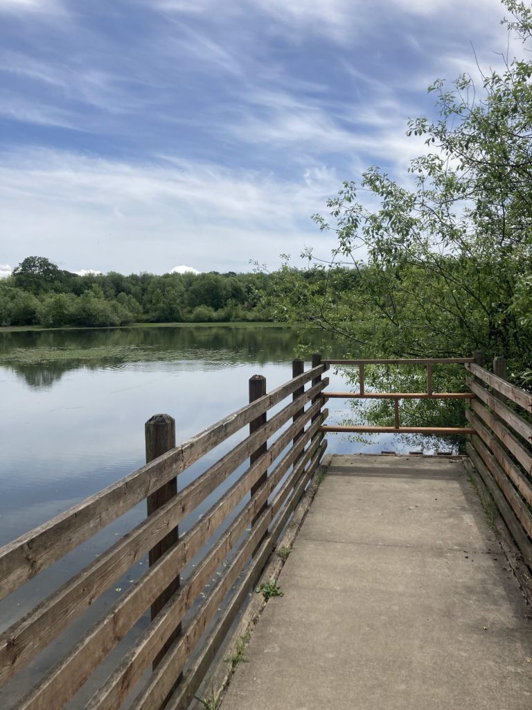
The Freeway Lakes is a chain of three connected lakes fed by Oak Creek in Albany, Oregon. This is the site where construction materials were harvested in the making of the I-5 freeway in the late 1950’s. Today, the Freeway Lakes is a convenient, no-frills fishing or paddling spot managed by the Linn County Parks. This would be considered a beginner-friendly and kid-friendly paddling spot due to its small size.

Good to know:

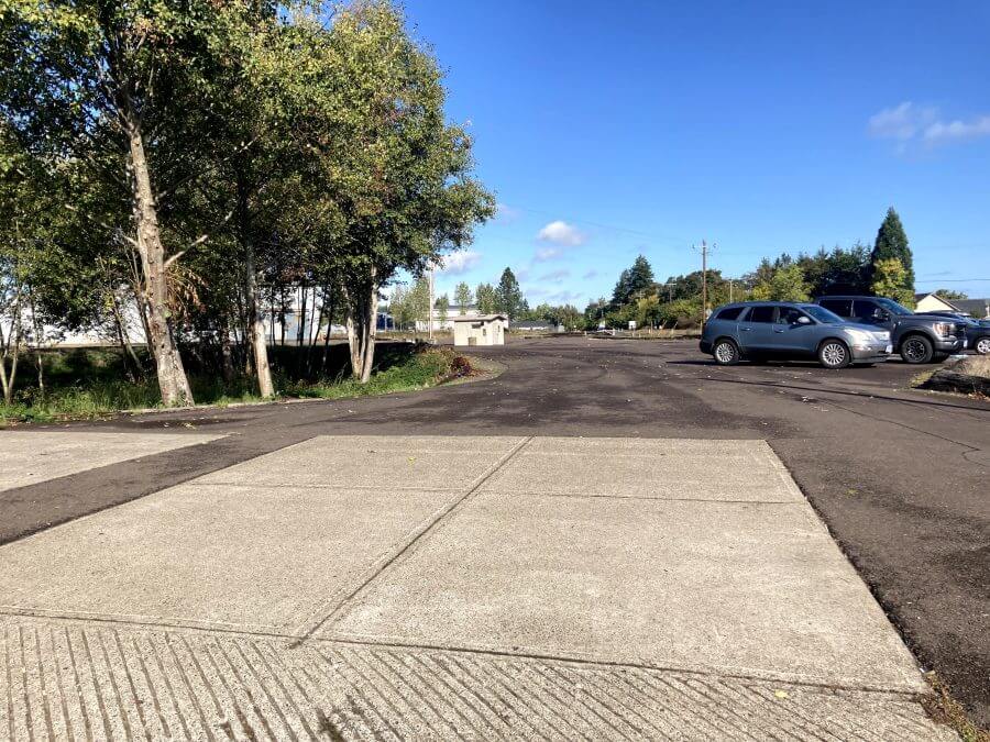
  • The parking lot is a gravel lot.
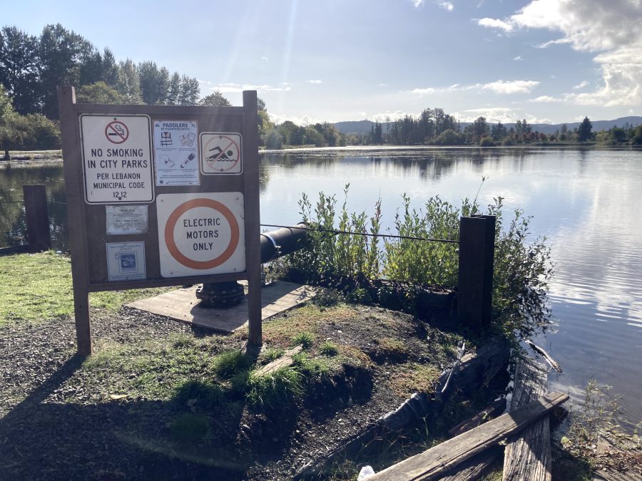
  • This place is open year-round.
  • Cell signal is good here
  • There is a vault restroom on site

Directions:

Additional things to do:

Consider a visit to Cheadle Lake, also a small-sized lake, which is 12 mi away in Lebanon, OR.

Another small lake located in Albany is Waverly Lake. It is only 10 acres in size but you can rent paddleboards and kayaks to try out there.


Check before you go:

  • Weather: Check the weather forecast for the area and check the wind conditions.
  • Toxic algae blooms: This temporary condition occurs at some of the area lakes in the summer and may affect your health if water or fish is consumed during these conditions. Get more info on how to tell if algae is harmful and watch for water advisories but also use common sense if you see water that doesn’t look right.
  • Inspect your watercraft. You can help prevent the spread of aquatic invasive species by wiping off any vegetation or debris from your watercraft and making sure it is dry each time before entering a new waterway.
  • PFD, Whistle, and Waterway Access Permit: In Oregon, all paddlecraft 10′ or longer (including SUPs, kayaks, and canoes) require a permit. You can purchase the permit online.

Beware that the routes and information on this site are just general guides and the best path may vary based on water level, obstructions, experience level, equipment, and other conditions. Paddlers are responsible for providing their own safety. Super Water Trails does not assume any liability.

Foster Reservoir

Skip ahead to check conditions

Foster Reservoir, situated in the scenic Cascade foothills, can be reached within an hour’s drive east of both Eugene and Salem. It comes as no surprise that during the summer season, the reservoir thrives with activity, attracting anglers and water enthusiasts of all kinds. The reservoir boasts two arms, designated no-wake zones, a big attraction for paddlers.

There is a campground located at Sunnyside Park and at Edgewater RV Resort. And if you need rentals during the summer season, visit Lewis Creek County Park.

Good to Know:

More things to do:


Check before you go:

  • Maps and Suggested Routes: Download or print out a map before you go from the SWT Planner App. As a premium member, you can access an ever-growing library of paddling-related maps and suggested routes.
  • Weather: Check the weather forecast and pay attention to the wind.
  • Toxic algae blooms: This temporary condition occurs at some of the area lakes in the summer and may affect your health if water or fish is consumed during these conditions. Get more info on how to tell if algae is harmful and watch for water advisories but also use common sense if you see water that doesn’t look right.
  • Inspect your watercraft. You can help prevent the spread of aquatic invasive species by wiping off any vegetation or debris from your watercraft and making sure it is dry each time before entering a new waterway.
  • PFD, Whistle, and Waterway Access Permit: In Oregon, all paddlecraft 10′ or longer (including SUPs, kayaks, and canoes) require a permit. You can purchase the permit online.

Beware that the routes and information on this site are just general guides and the best path may vary based on water level, obstructions, experience level, equipment, and other conditions. Paddlers are responsible for providing their own safety. Super Water Trails does not assume any liability.

Cheadle Lake

Skip ahead to check conditions

Cheadle Lake is a 100-acre lake in Lebanon, OR filled by the waters of the South Santiam River. It was previously used as a mill pond but it has now been converted to a lake for the public to enjoy. The dredged material of its former life forms an island in the shape of what has been described as “three fingers and a thumb.”

Paddle through the thick pond vegetation in between the fingers and explore the old remnants of the logging pond. The water is clear and you can see the fish darting around amongst the vegetation.

  • Length: ~2.2 miles
  • Paddle Time: 53 min.*
  • Parking fee: none
  • Launch: boat ramp, dock
  • Restroom: flush
  • Cell signal: excellent

*Time is roughly based on leisurely paddling pace of 2.5mph. Wind, current, equipment, and paddler’s fitness and motivation can change this estimate.

Good to know:

  • The boat ramp is open year-round.
  • Motorboats aren’t allowed here, unless it’s electric.
  • Be warned that you may encounter thick vegetation, especially within the fingers.

Paddle Route:

After launching from the boat ramp and dock, consider paddling this lake in a clockwise loop.

First, you will reach the far end of the lake where the inlet is. Then, you can paddle into each of the fingers. And finally, paddle along the outer border of the lake before returning to the ramp.

Driving Directions:

Other Things to Do:

  • Check out the walking trails: The North Shore Trail starts next to the boat ramp and is a popular 1.23 mile paved trail along the lake and Cheadle Park for a 2.46 out-and-back walk. The Island Trail is an additional loop along the fingers of the lake.
  • Participate in a community event put on by Build Lebanon Trails.
  • Go on a waterfall hike: McDowell Creek Falls County Park is less than half hour drive and you can visit 3 waterfalls on this scenic 1.7 mile hike.

Check before you go:

  • Maps and Suggested Routes: Download or print out a map before you go from the SWT Planner App. As a premium member, you can access an ever-growing library of paddling-related maps and suggested routes.
  • Weather: Check the weather forecast and pay attention to the wind.
  • Water Temperature: Read the cold water safety page if you need more background info.
 USGS Water-data graph for site 14187500
This monitor is located upstream, just prior to entering the canal.
  • Inspect your watercraft. You can help prevent the spread of aquatic invasive species by wiping off any vegetation or debris from your watercraft and making sure it is dry each time before entering a new waterway.
  • PFD, Whistle, and Waterway Access Permit: In Oregon, all paddlecraft 10′ or longer (including SUPs, kayaks, and canoes) require a permit. You can purchase the permit online.

Beware that the routes and information on this site are just general guides and the best path may vary based on water level, obstructions, experience level, equipment, and other conditions. Paddlers are responsible for providing their own safety. Super Water Trails does not assume any liability.