Skip ahead to check conditions
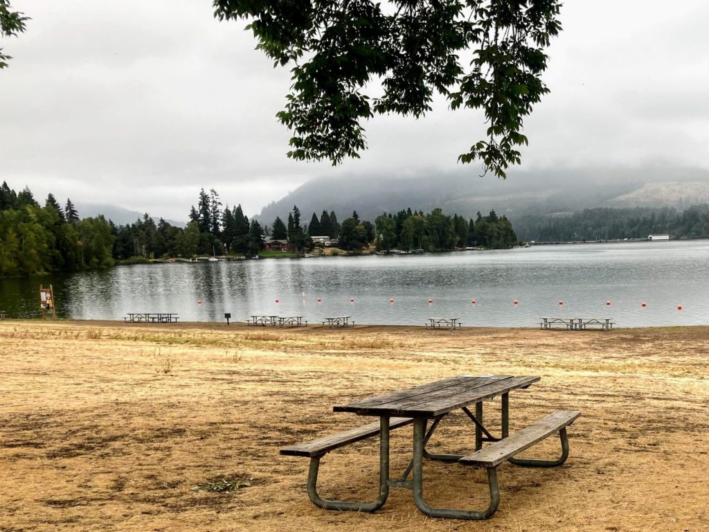
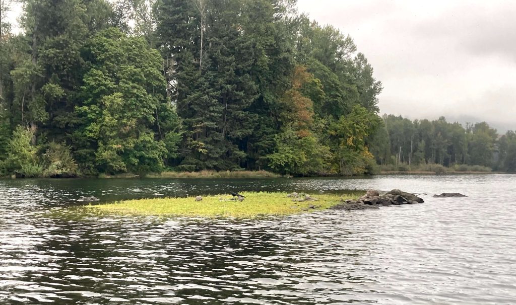
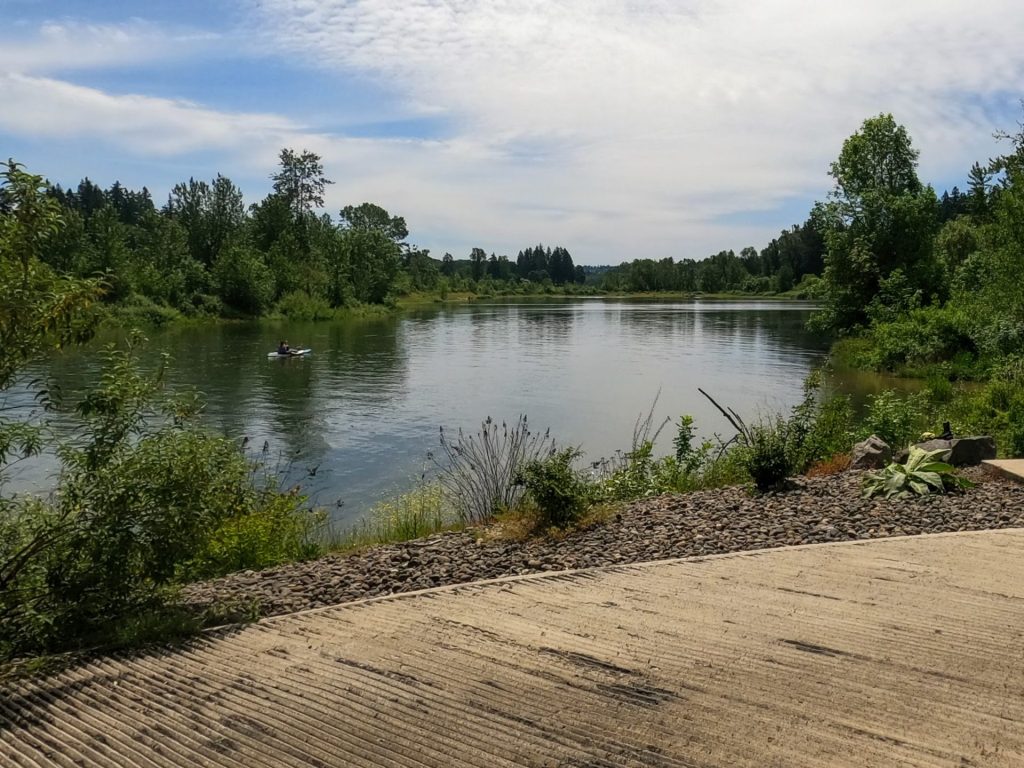
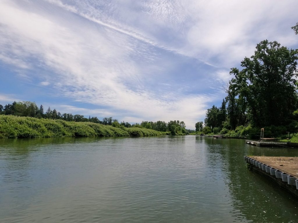
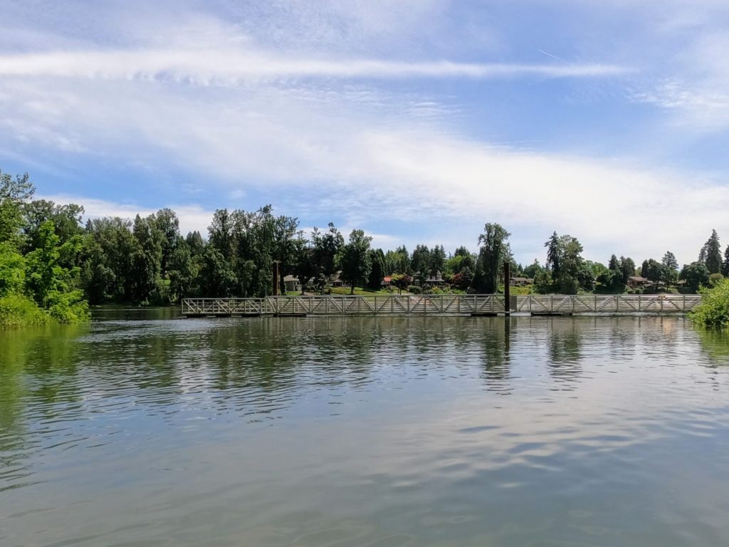
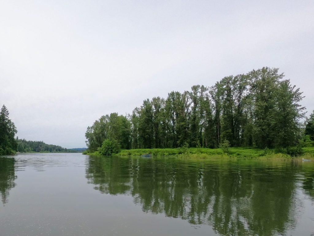
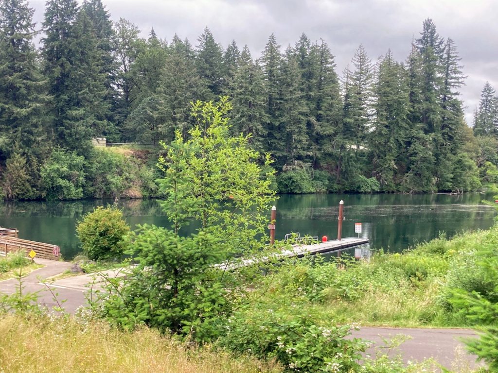
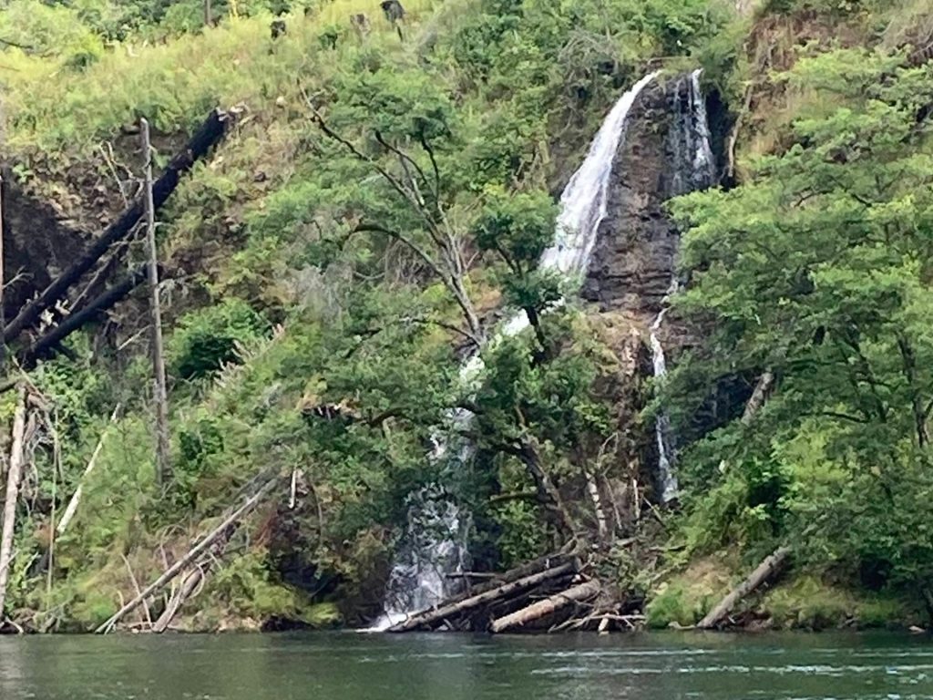
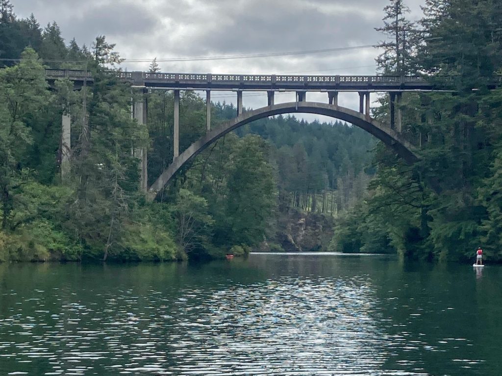
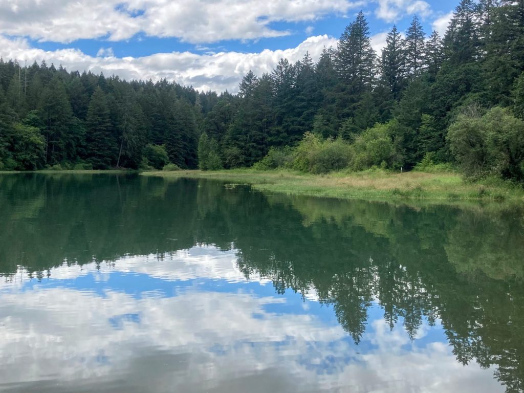
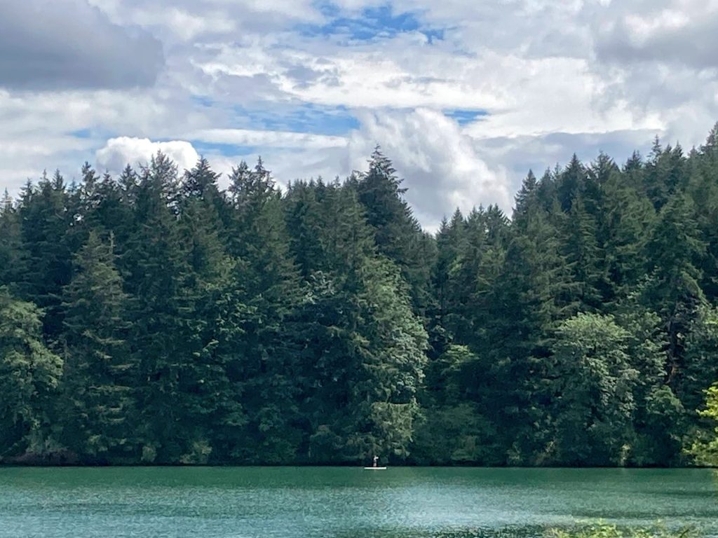
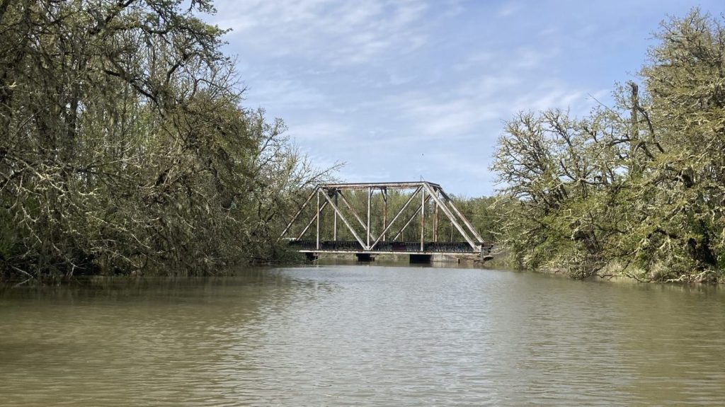
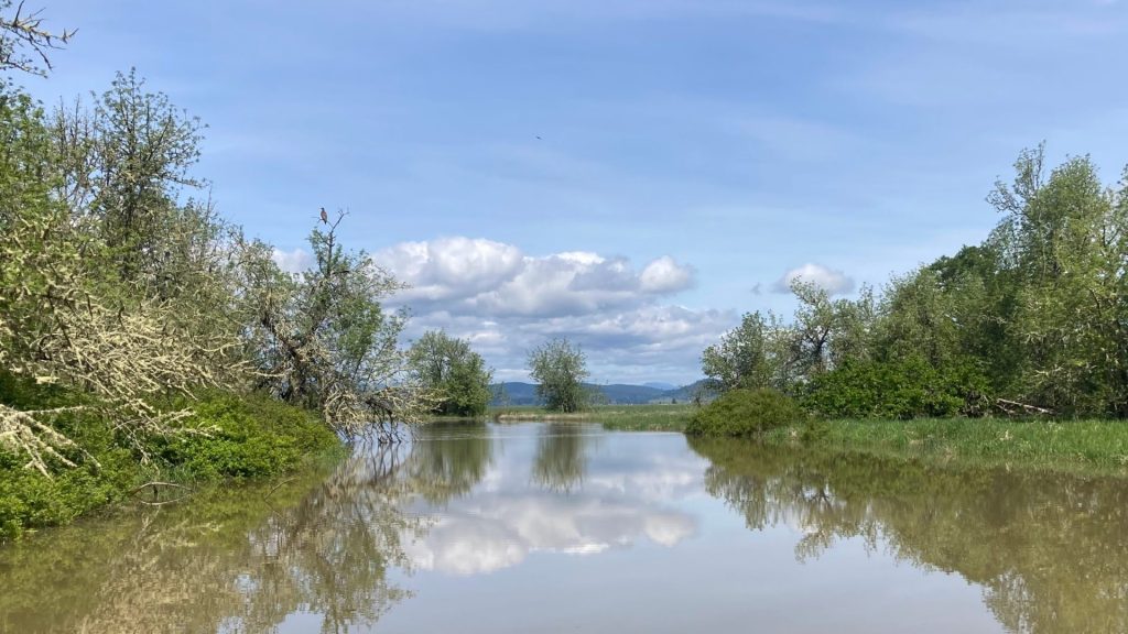
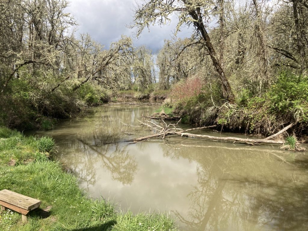
The Coyote Creek Trail is a popular paddling trail near Eugene that meanders through the Fern Ridge Wildlife Area and enters Fern Ridge Lake. Although the water is always muddy here, paddlers can look forward to a peaceful paddle and the chance for sightings of herons, osprey, beavers, frogs, and more.
This a beginner-friendly paddle, sheltered from the winds and boat wake at nearby Fern Ridge Lake. The current is minimal during the summer months. Also, there are a couple of places along this route to pull over, if needed.
Good to Know:
- The cellular signal is average or fair here.
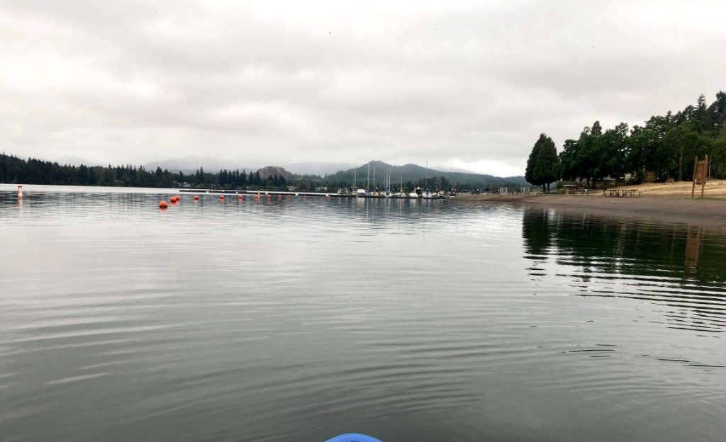
- This section is less windy than in the main body of Fern Ridge Lake.
- This route is best paddled when the lake levels are at or near full pool. Watch out for faster creek flow during the rainy season and more exposed snags at lower water levels.
- Waterway restrictions: slow no-wake in the Coyote Creek Channel, slow no-wake south of Perkins Peninsula Park
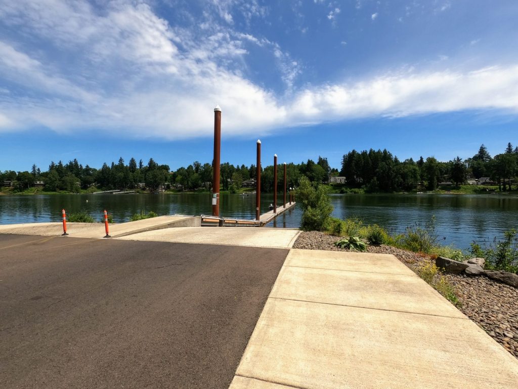
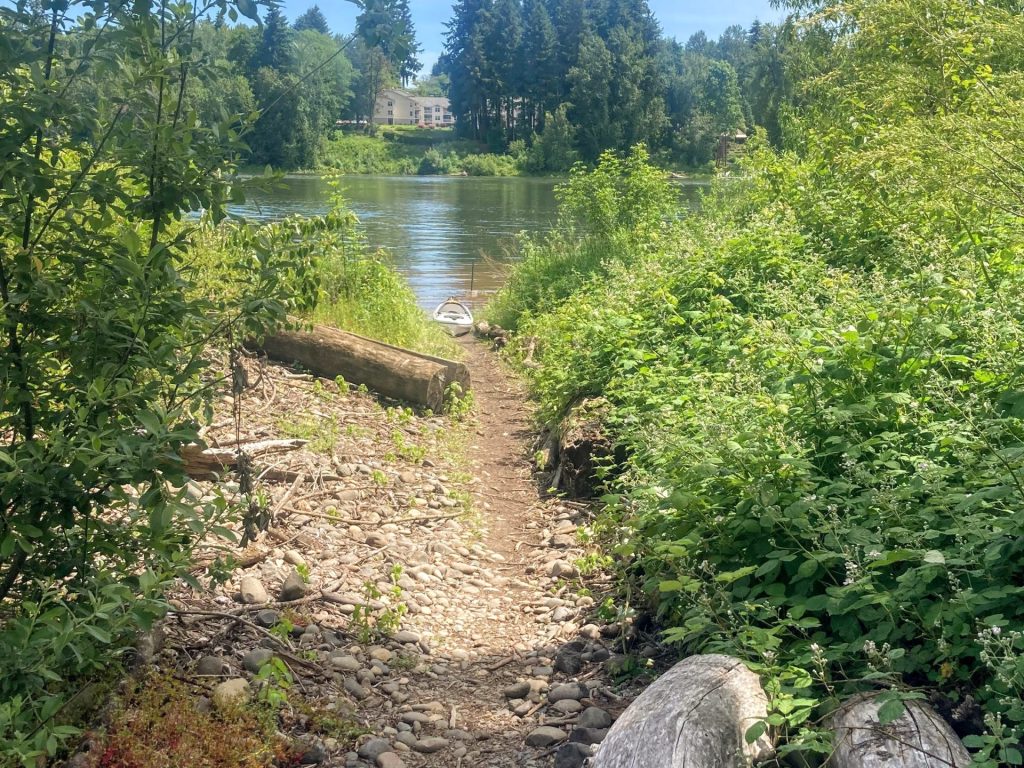
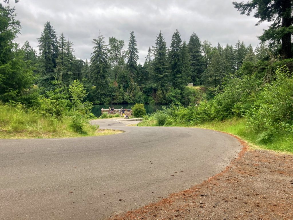
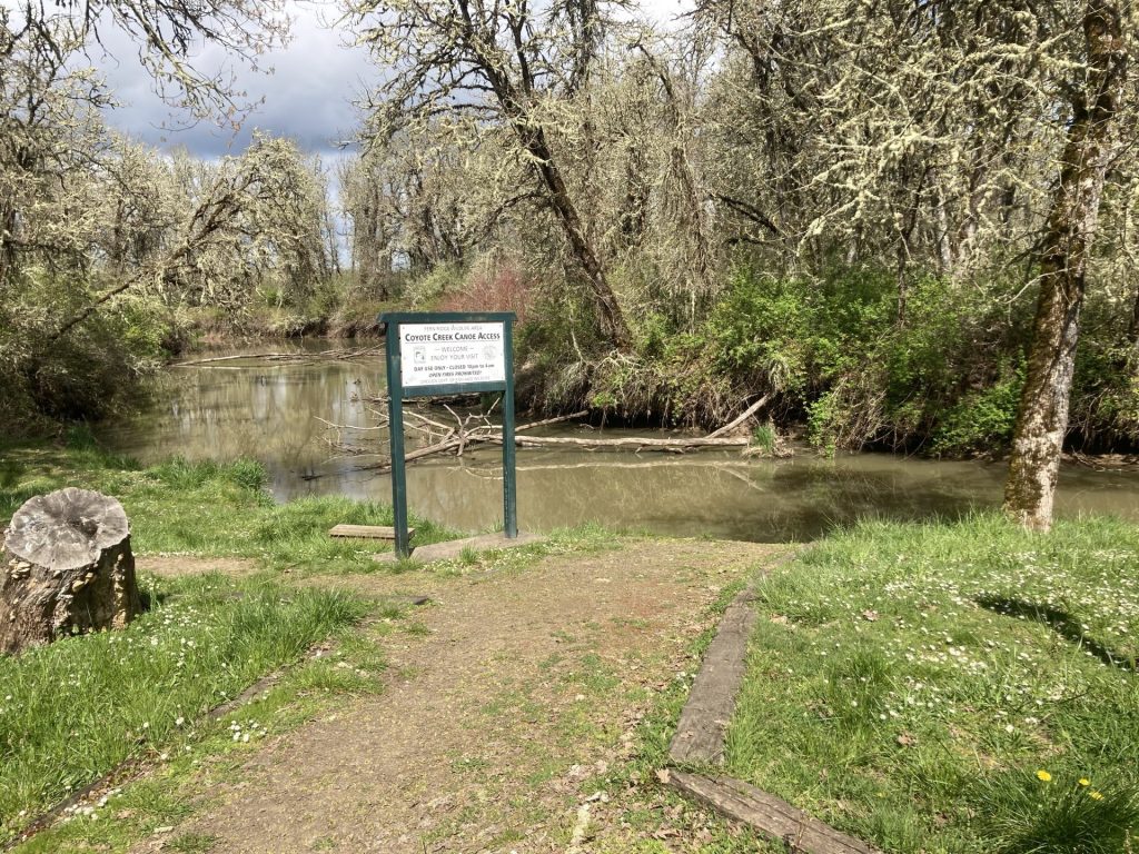
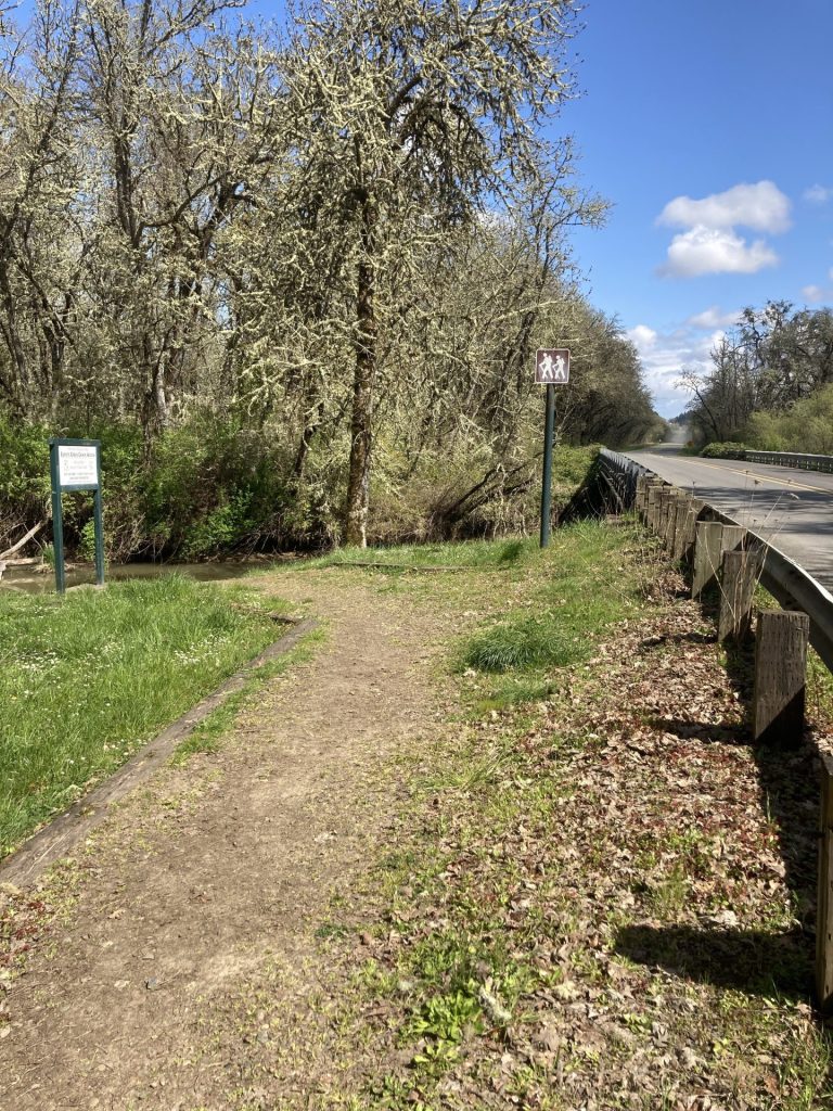
Put-In Location
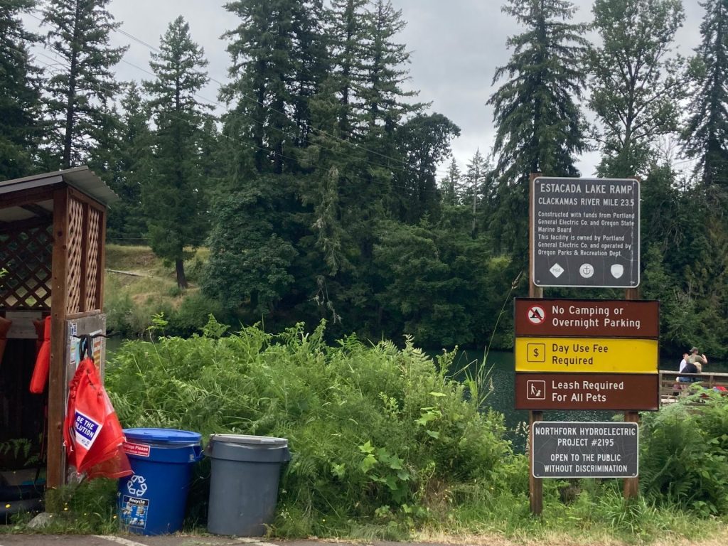
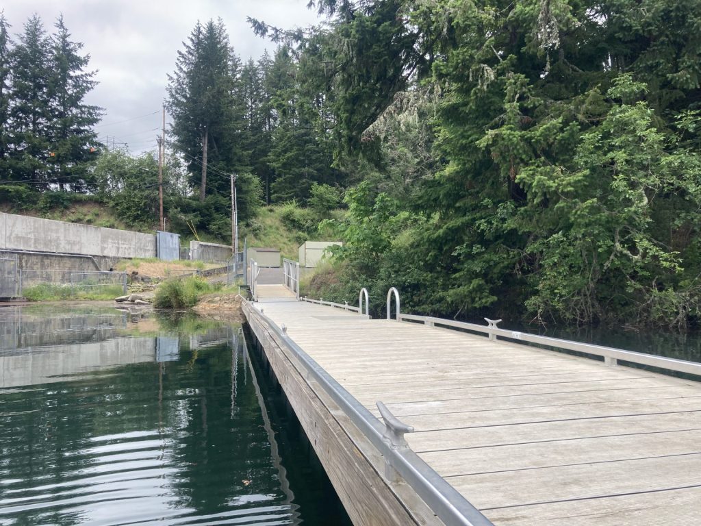
Coyote Creek Canoe Access
- Parking fee: none
- Launch type: undeveloped bank
- Restrooms: none
- Open: daily May 1 – Oct 10
Parking is located on the shoulder (north side) of Cantrell Road.


Additional things to do:
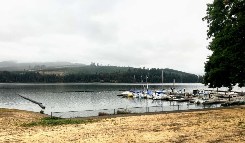
- Visit Perkins Peninsula Park for more amenities and more parking. It is only a few miles away but parking there requires a day use fee or Lane County pass.
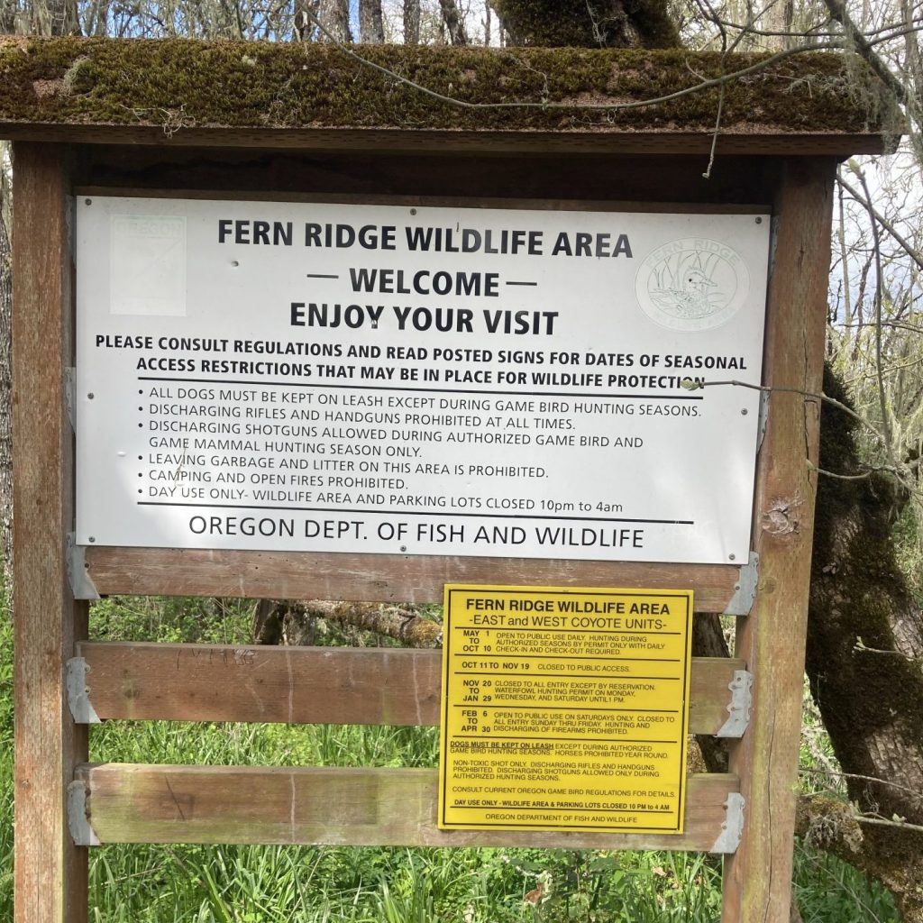
- Visit the nature trails in the Fern Ridge Wildlife Area.
Check before you go:
- Maps and Suggested Routes: Download or print out a map before you go from the SWT Planner App. As a premium member, you can access an ever-growing library of paddling-related maps and suggested routes.
- Weather: Check the weather forecast and pay attention to the wind.
- Toxic algae blooms: This temporary condition occurs at some of the area lakes in the summer and may affect your health if water or fish is consumed during these conditions. Get more info on how to tell if algae is harmful and watch for water advisories but also use common sense if you see water that doesn’t look right.
- Water Level: check that that reservoir level is full
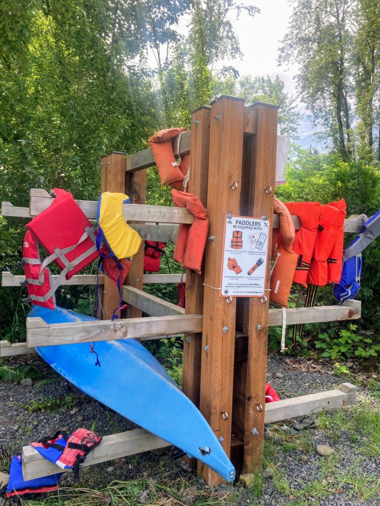
- PFD, Whistle, and Waterway Access Permit: In Oregon, all paddlecraft 10′ or longer (including SUPs, kayaks, and canoes) require a permit. You can purchase the permit online.
- Inspect your watercraft. You can help prevent the spread of aquatic invasive species by wiping off any vegetation or debris from your watercraft and making sure it is dry each time before entering a new waterway.
Beware that the routes and information on this site are just general guides and the best path may vary based on water level, obstructions, experience level, equipment, and other conditions. Paddlers are responsible for providing their own safety. Super Water Trails does not assume any liability.