Skip ahead to check conditions
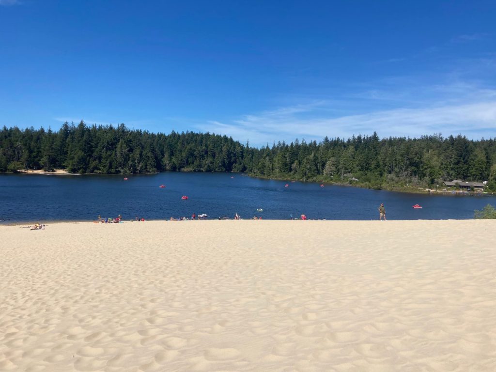
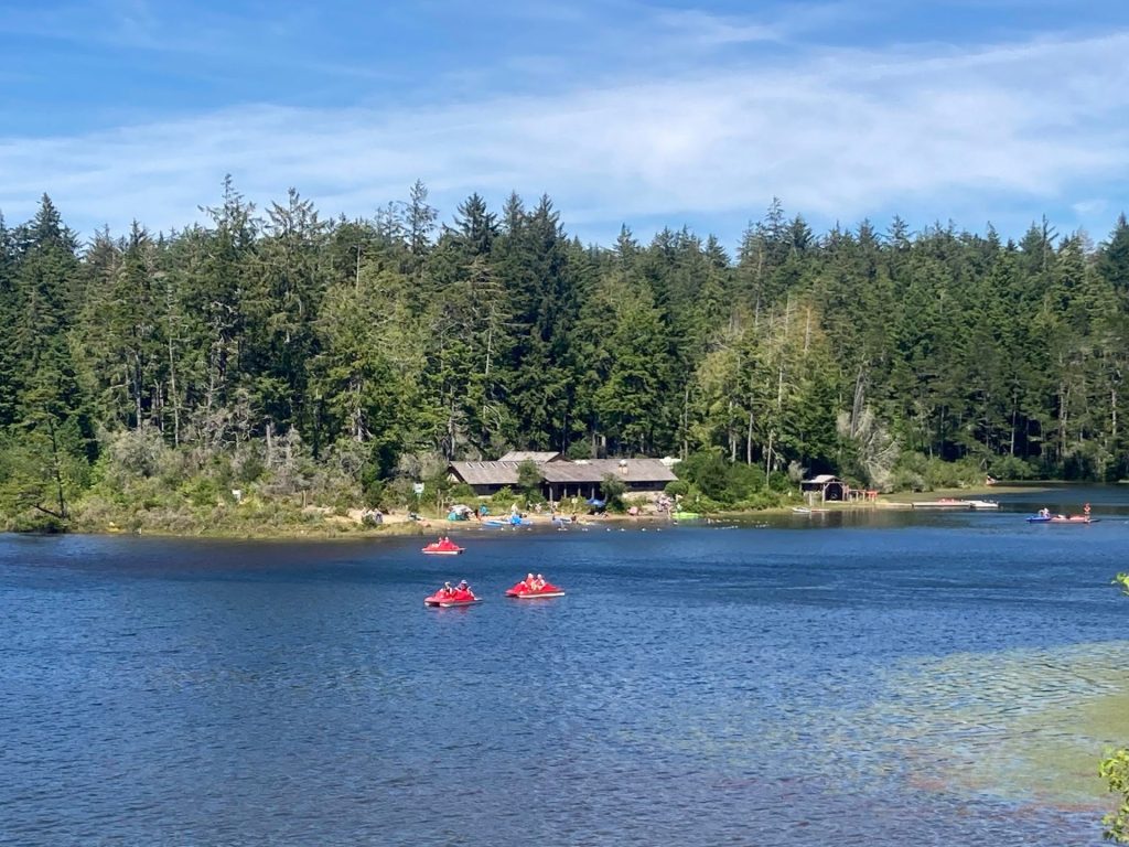
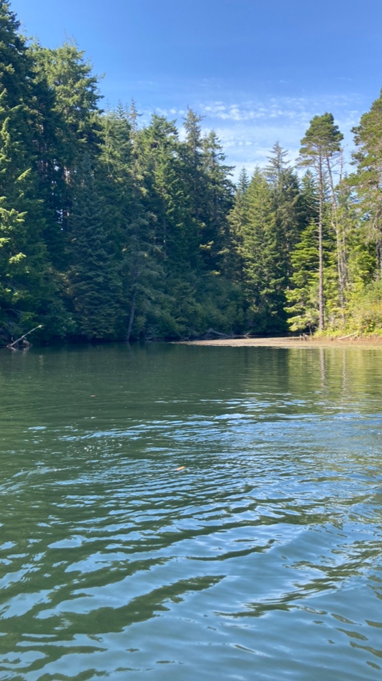
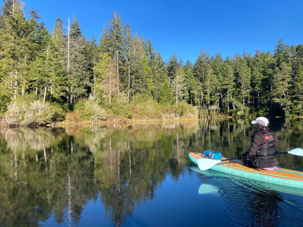
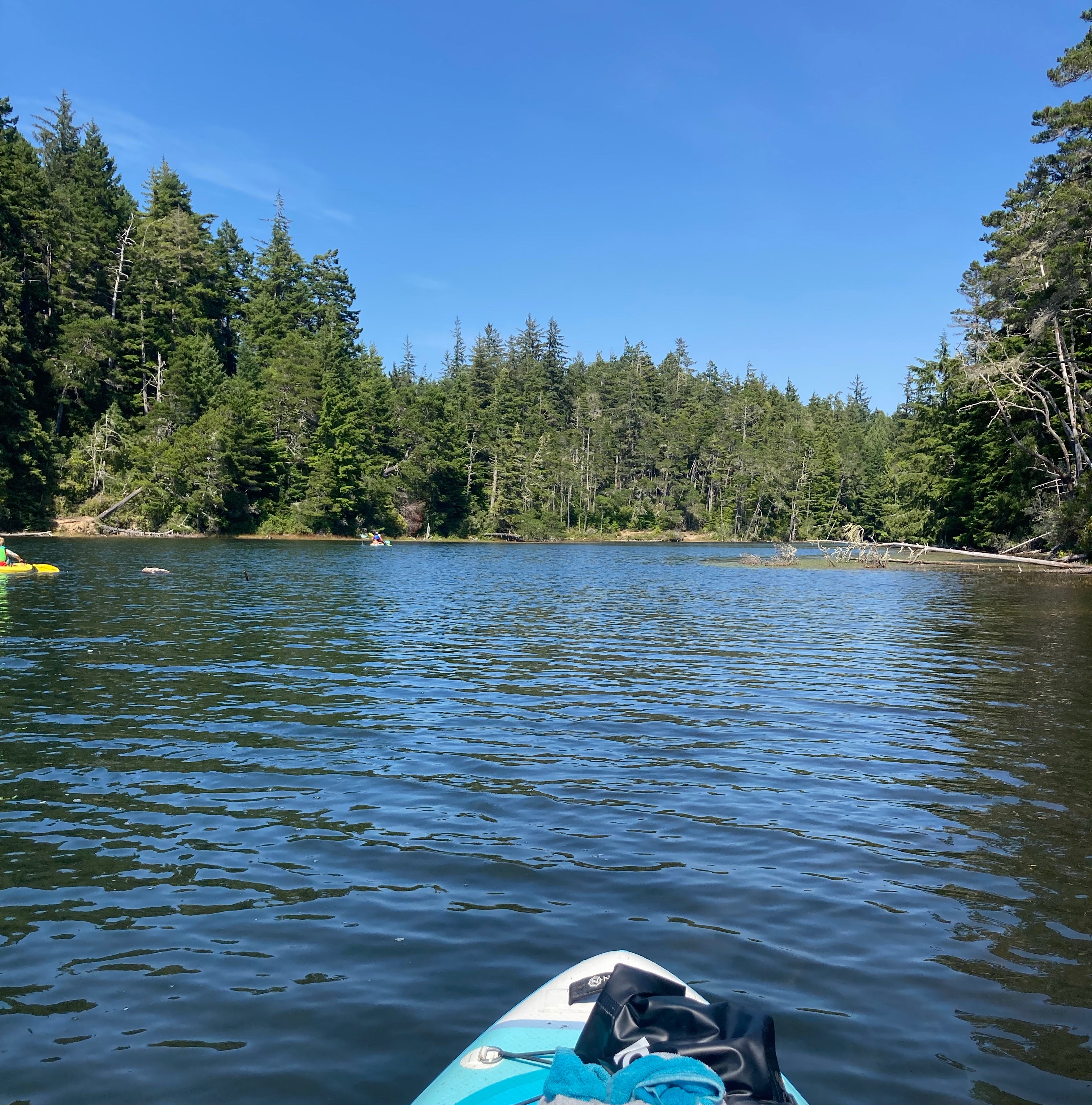
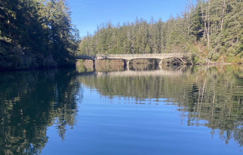
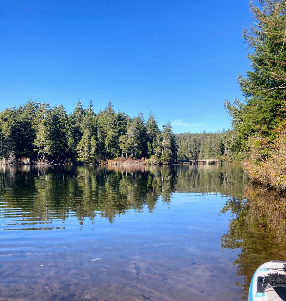
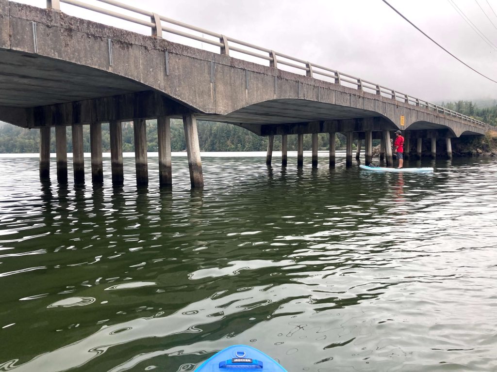
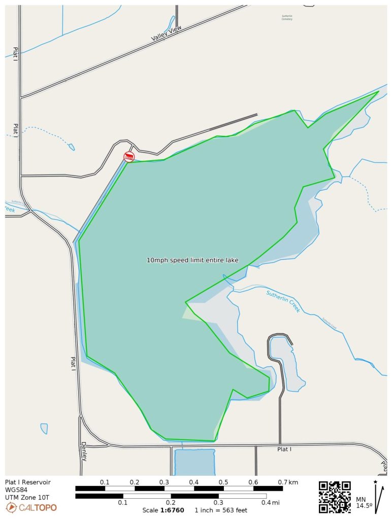
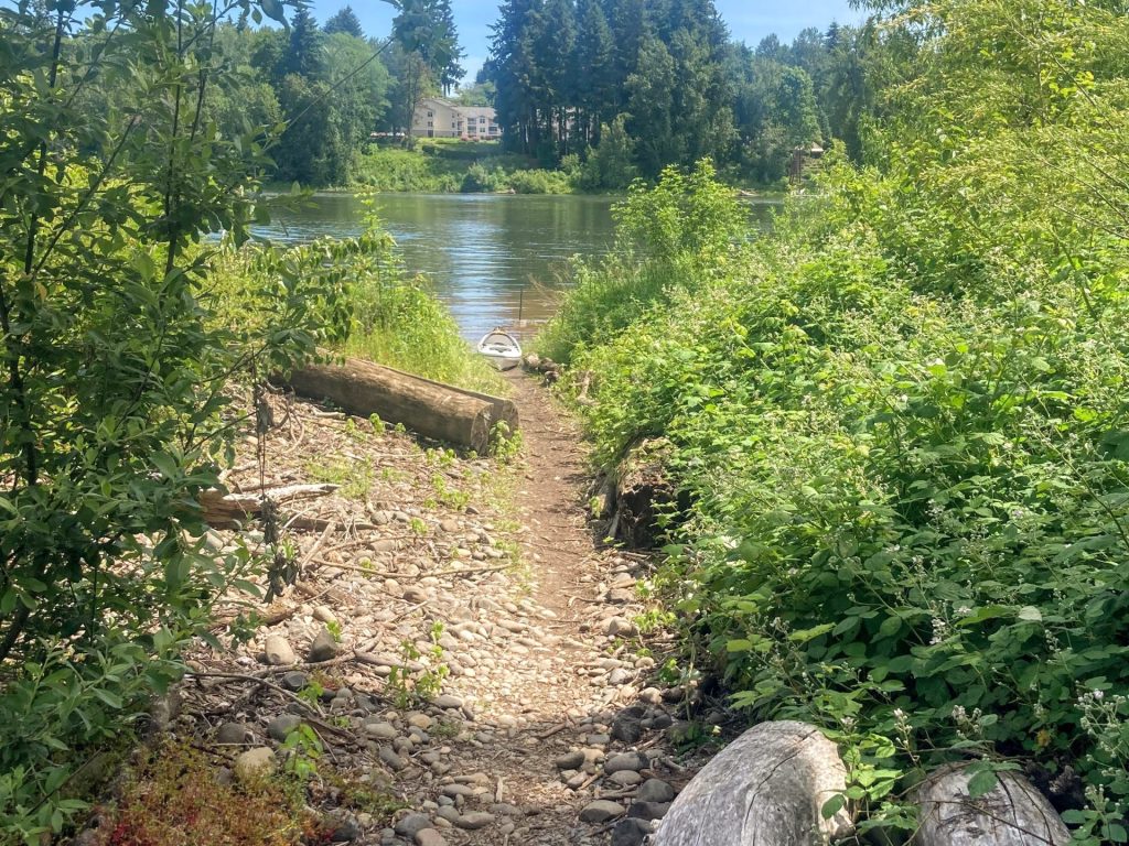
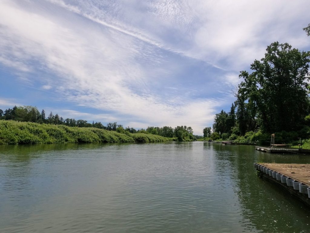
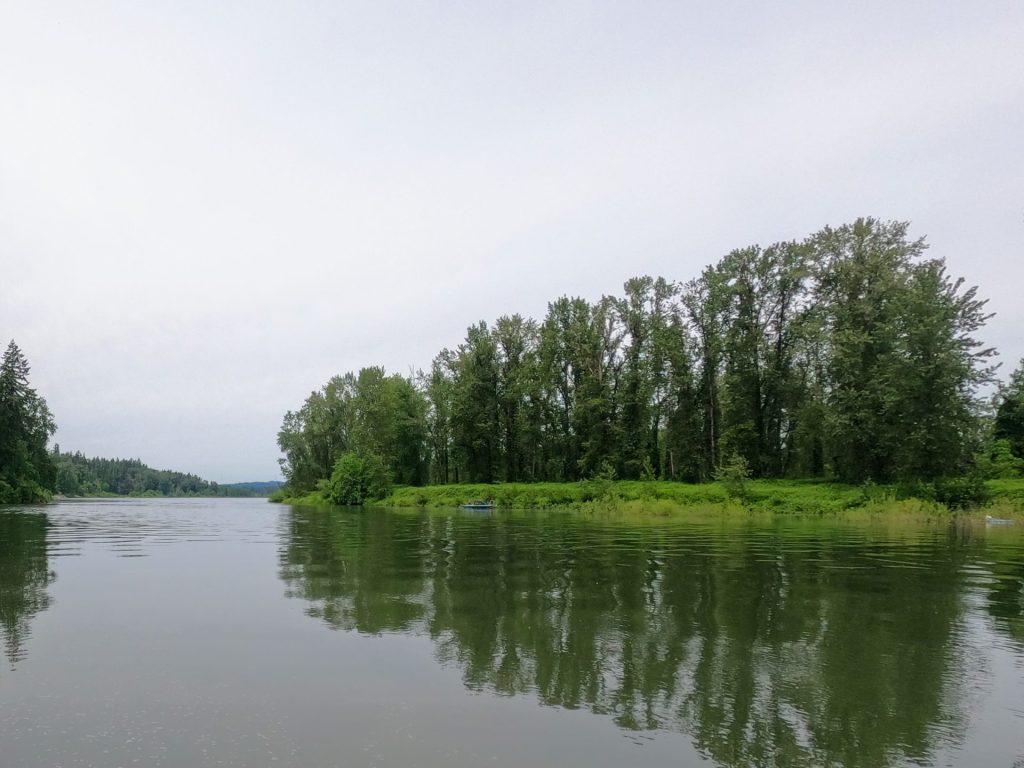
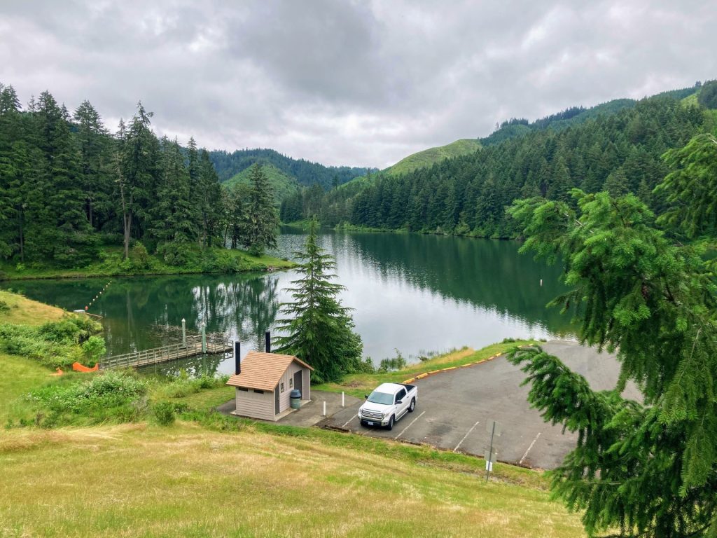
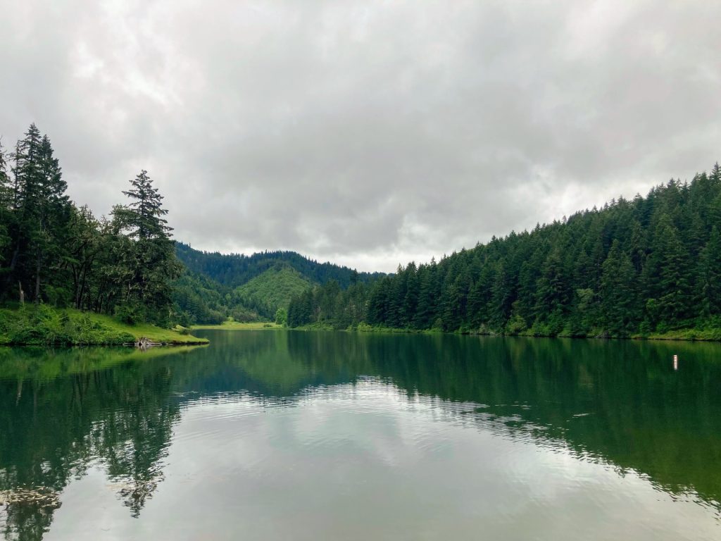
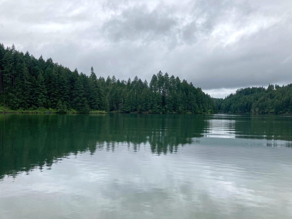
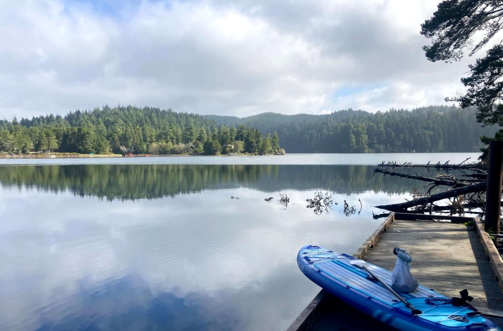
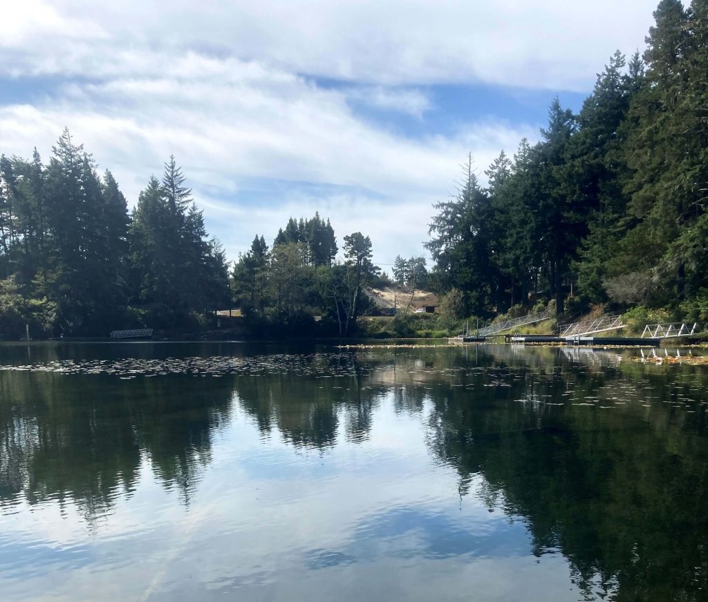
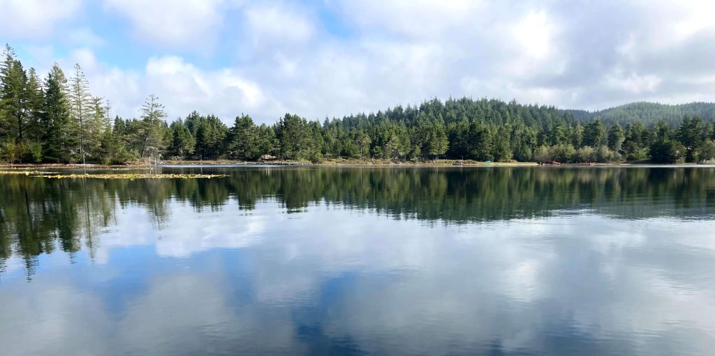
Munsel Lake is a beautiful spot to paddle when you are visiting Florence on the Oregon coast. Consider paddling around its 3+ mile shoreline with its many alcoves when some of the larger lakes in the area get too windy. This 110-acre coastal dune lake is known for good fishing and although motorized boats are allowed here, there is a 10mph speed limit outside of summertime.
Good to Know:
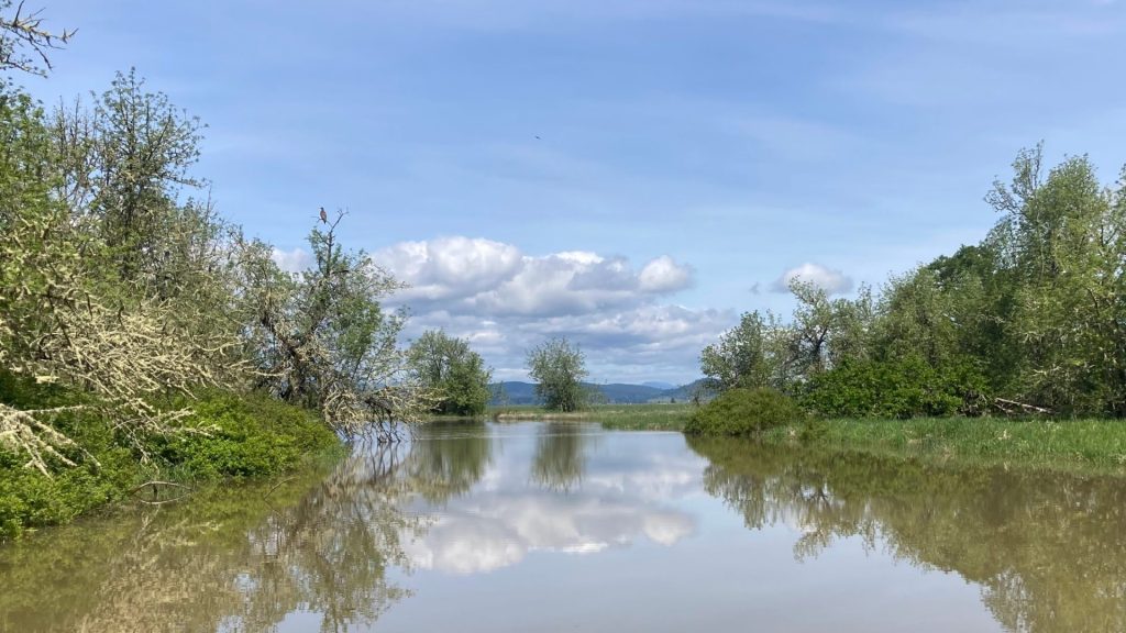
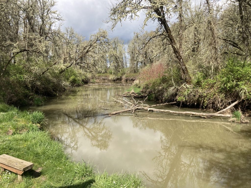
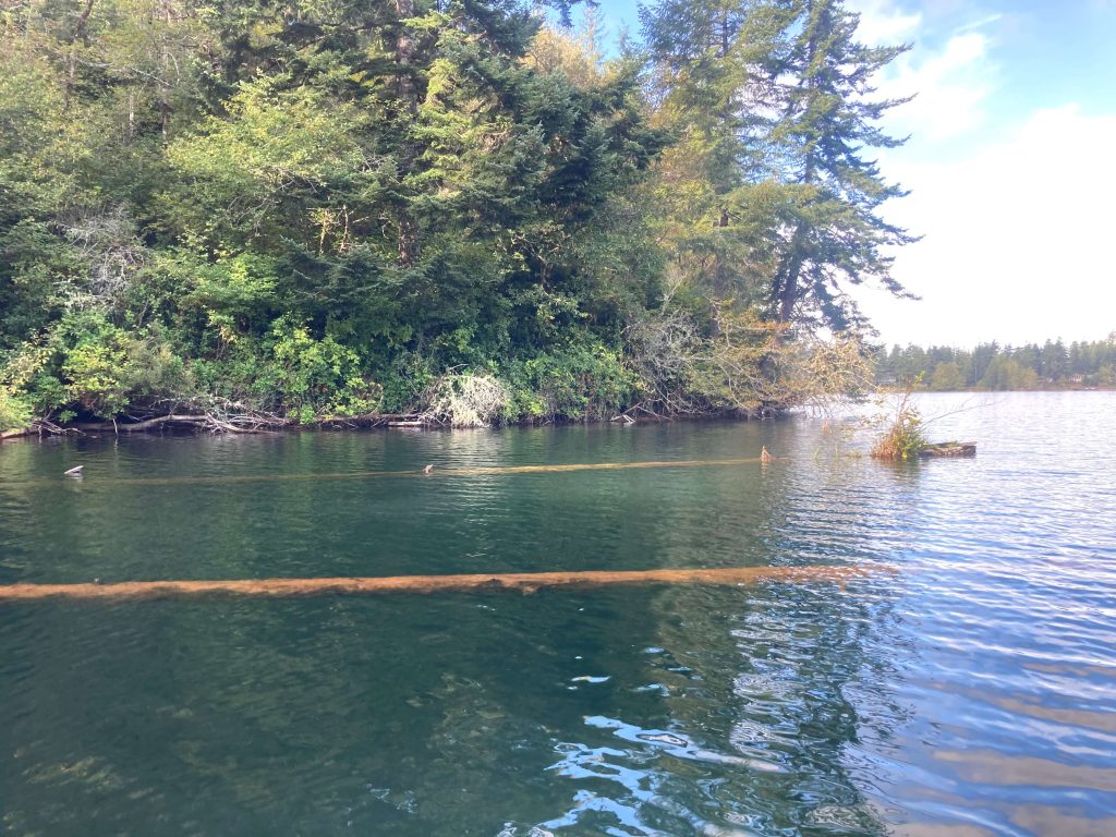
- Watch for sharp debris and plenty of fallen trees underwater that can potentially snag you.
- The cellular signal is poor here.
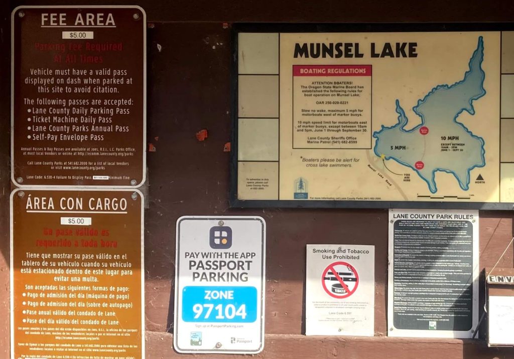
- Waterway restrictions: 10mph, except June 1- Sept. 30 10am-5pm
Put-In Location:
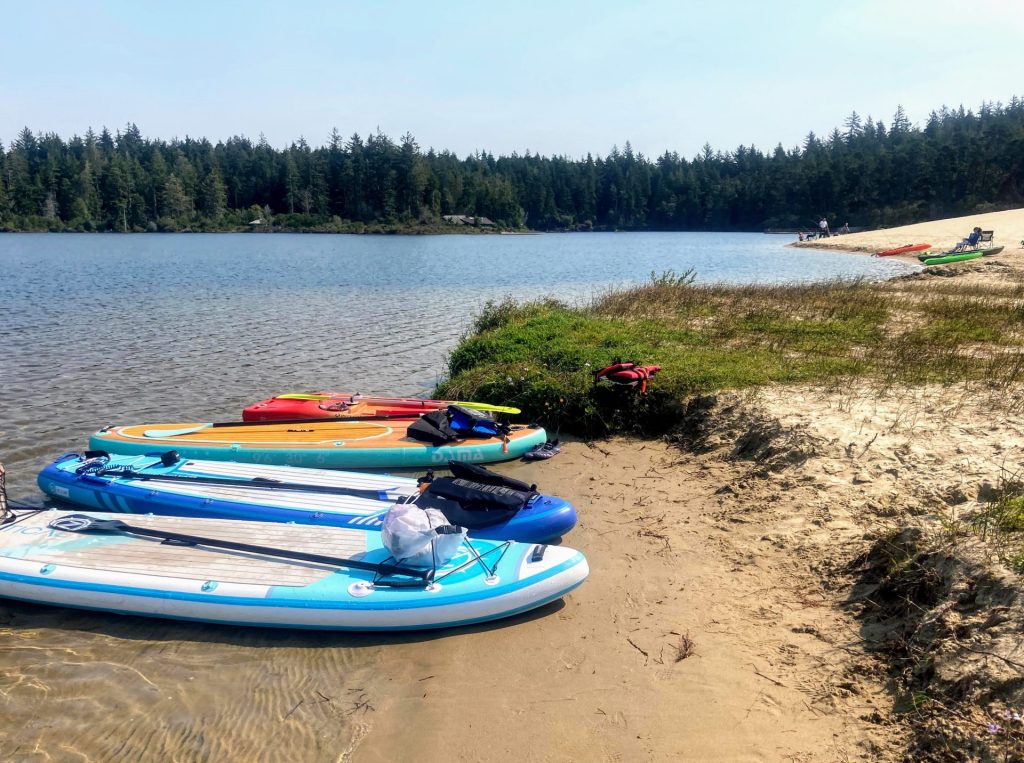
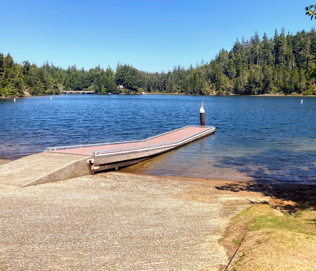
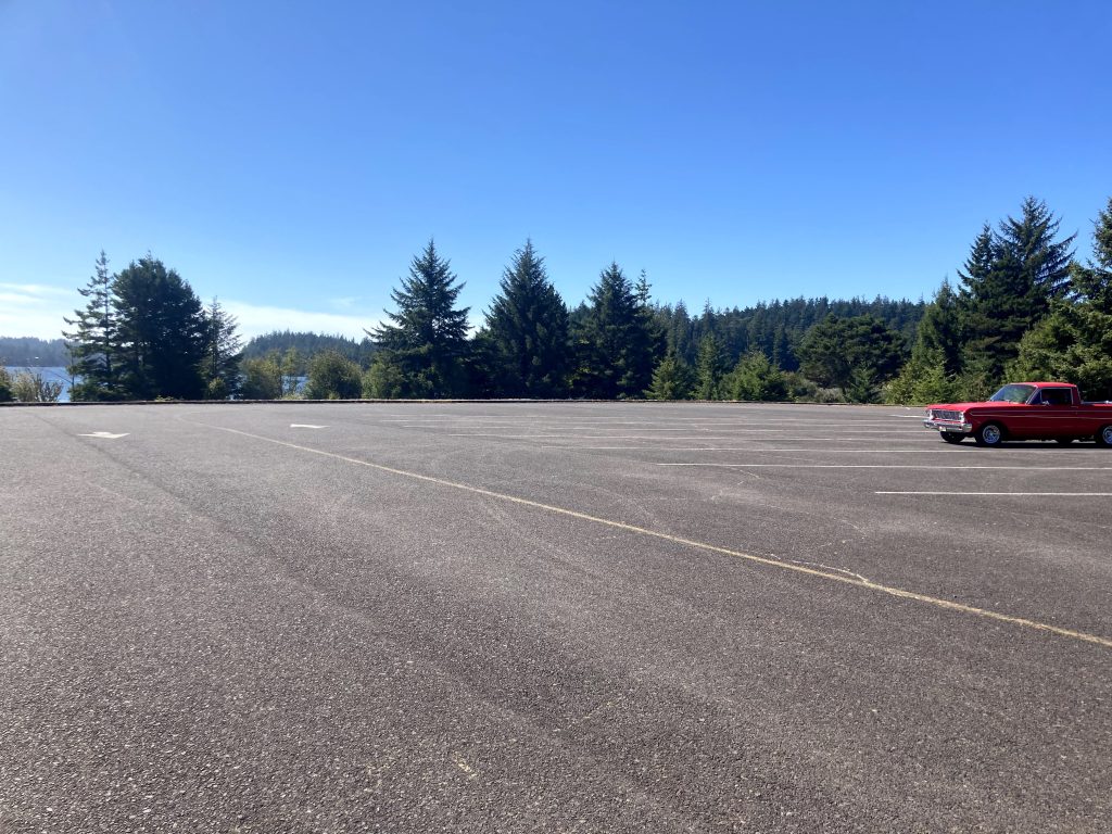
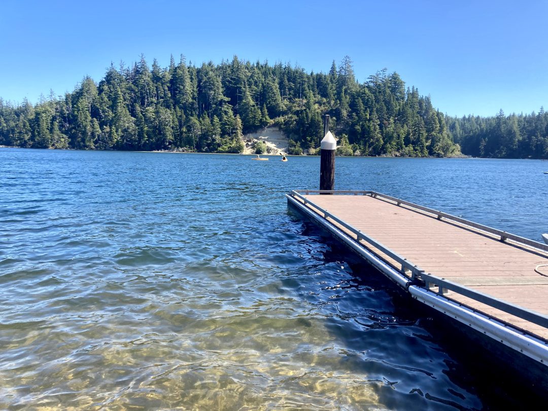
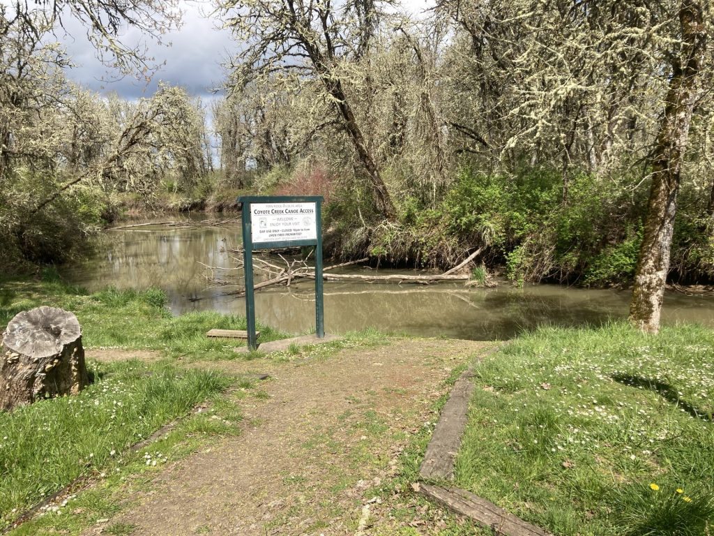
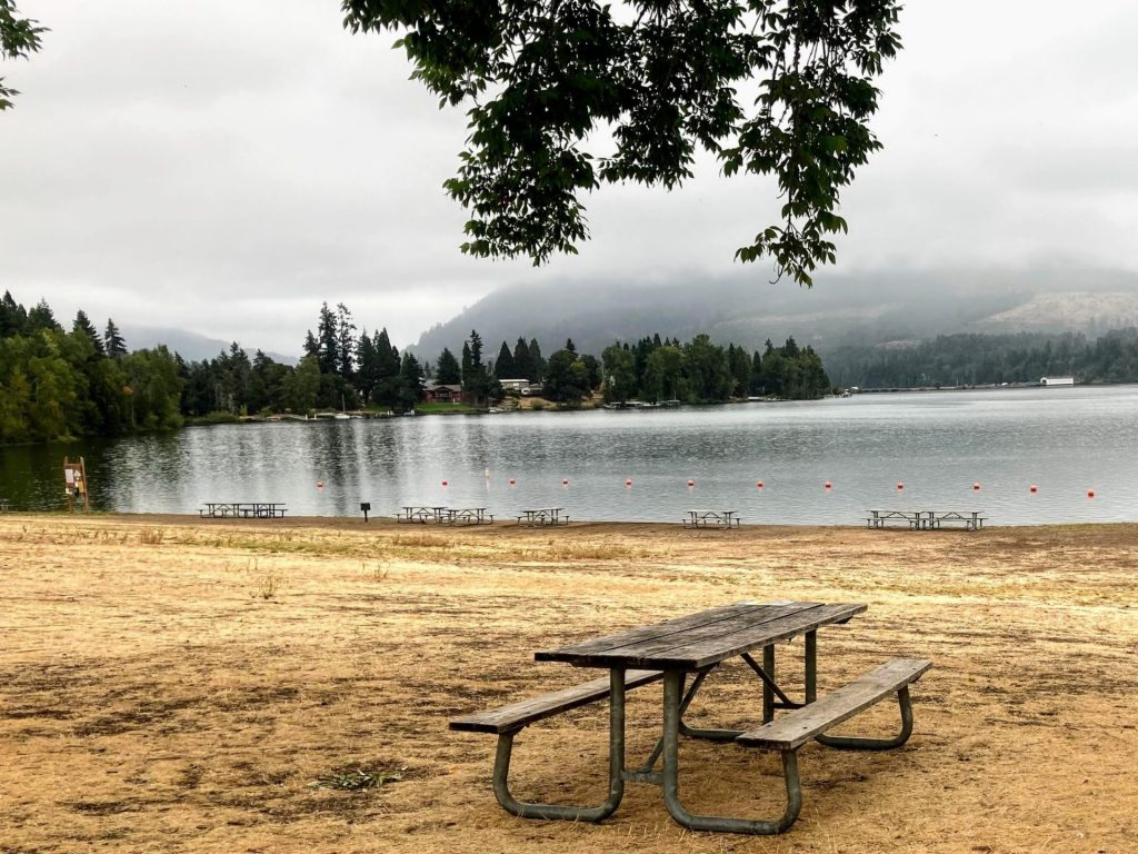
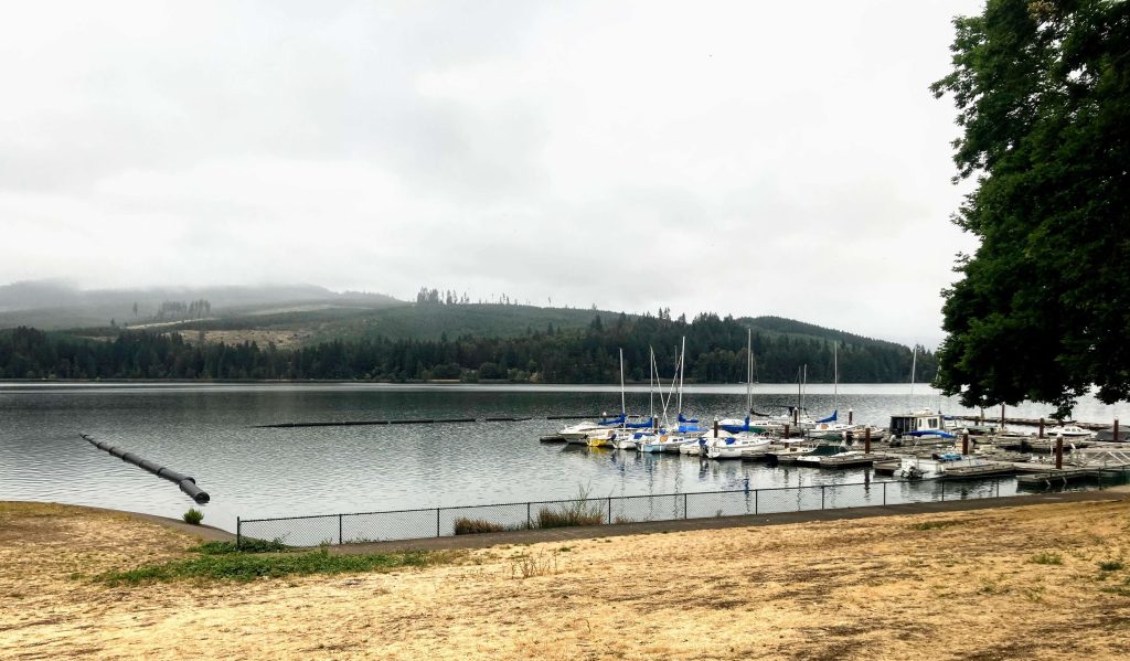
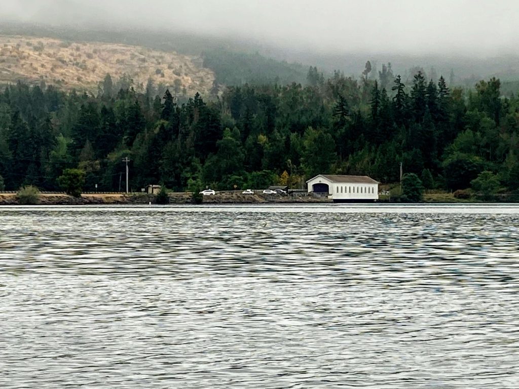
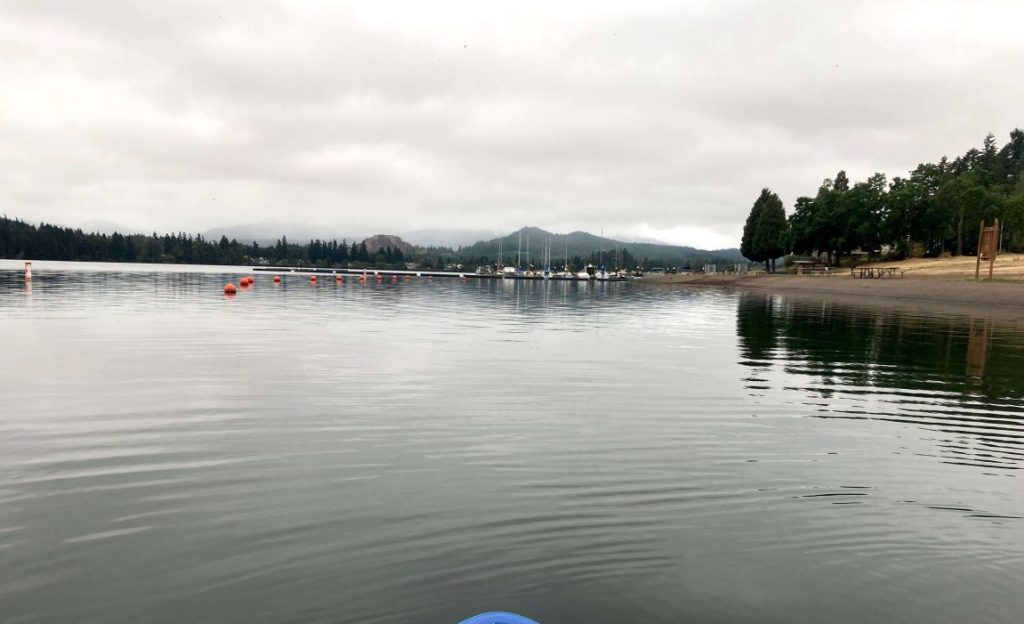
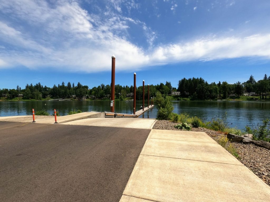
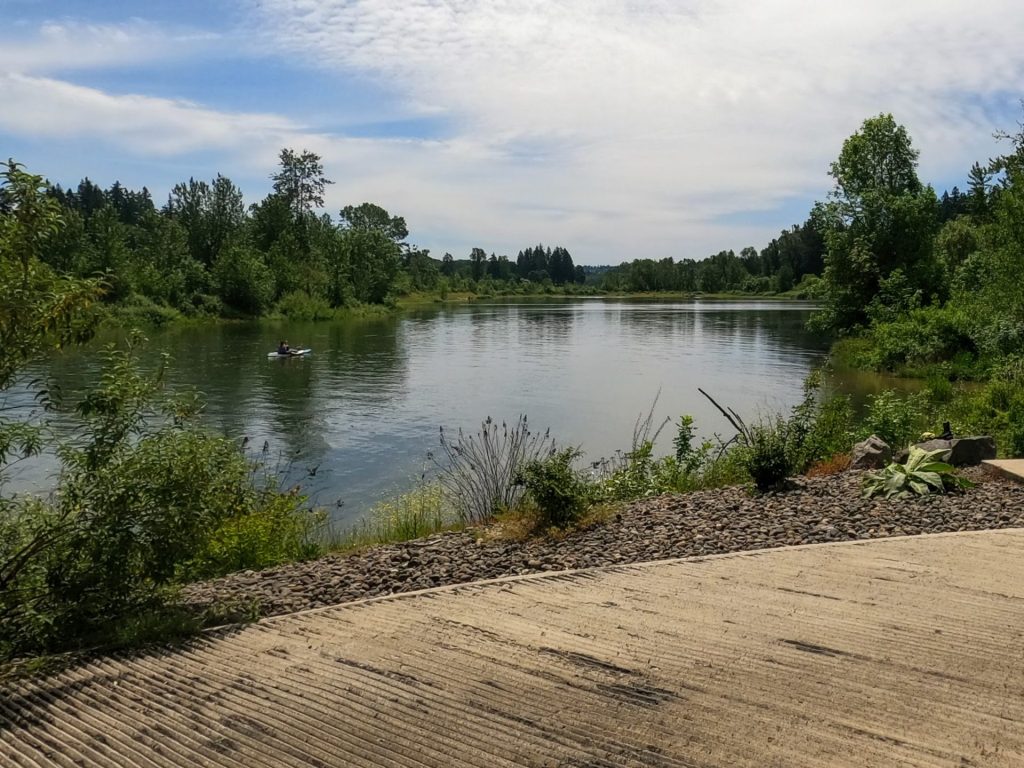
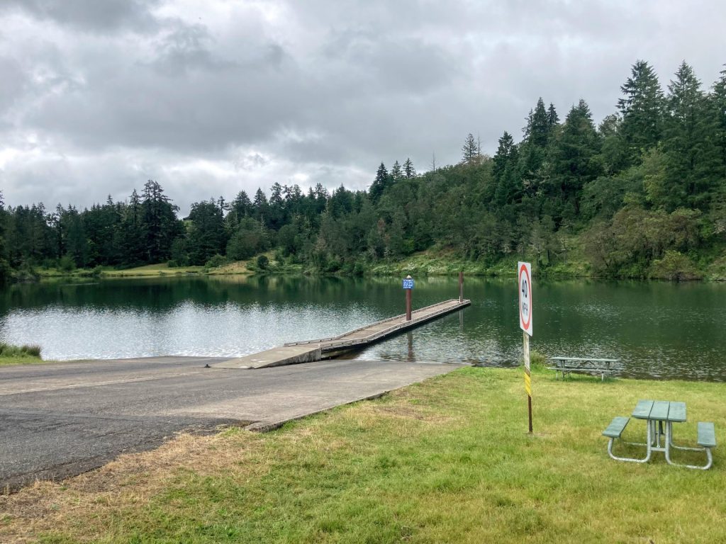
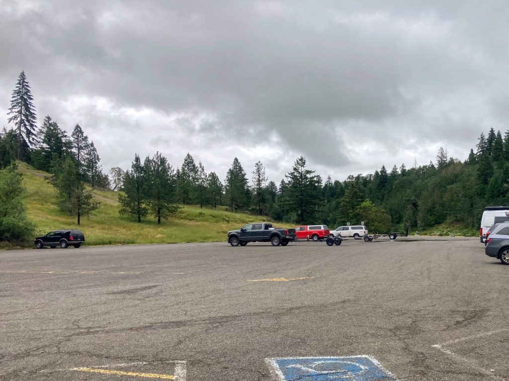
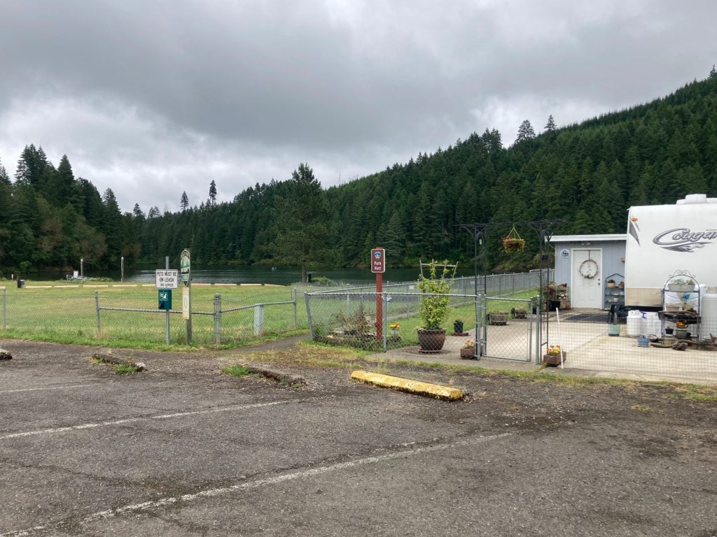
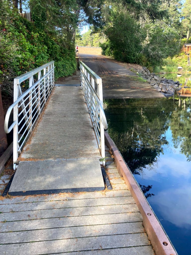
Munsel Landing County Park
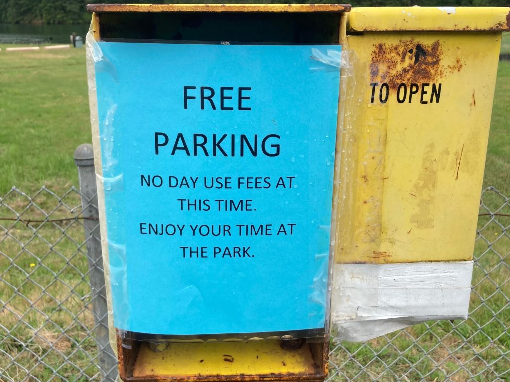
- Parking fee: day use fee or Lane County Parks pass
- Launch type: boat ramp and dock
- Restrooms: port-a-potty
- Open: year-round
Driving Directions:


More Things to Do:
- Make the most of your Lane County parks day use fee or pass: it can be used at nearby Mercer Lake, Siltcoos Lake, or at Bender Landing (caution North Fork Siuslaw River is tidally influenced) for more paddling.
- Hike the sand dunes at Sutton Creek: a National Forest Recreation pass or day use fee is required but this is a fun hike. Does Sutton Creek look like a possible paddle?
- Visit the historic riverfront area in Florence.
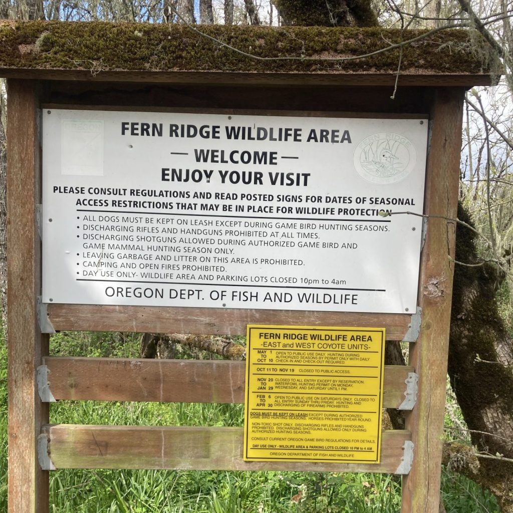
Check Before You Go:
- Maps and Suggested Routes: Download or print out a map before you go from the SWT Planner App. As a premium member, you can access an ever-growing library of paddling-related maps and suggested routes.
- Weather: Check the weather forecast and pay attention to the wind.
- Parking: Purchase your day use pass before you go at the Lane County parks website or get the Passport Parking app and pay when you get there. Just be aware that the cellular signal is not great at this location. For an annual pass, you can purchase one at the local REI, Cabela’s, or Bi-Mart.
- Inspect your watercraft. You can help prevent the spread of aquatic invasive species by wiping off any vegetation or debris from your watercraft and making sure it is dry each time before entering a new waterway.
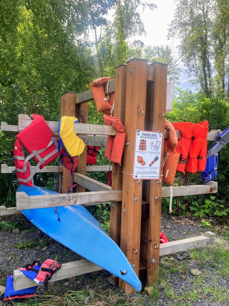
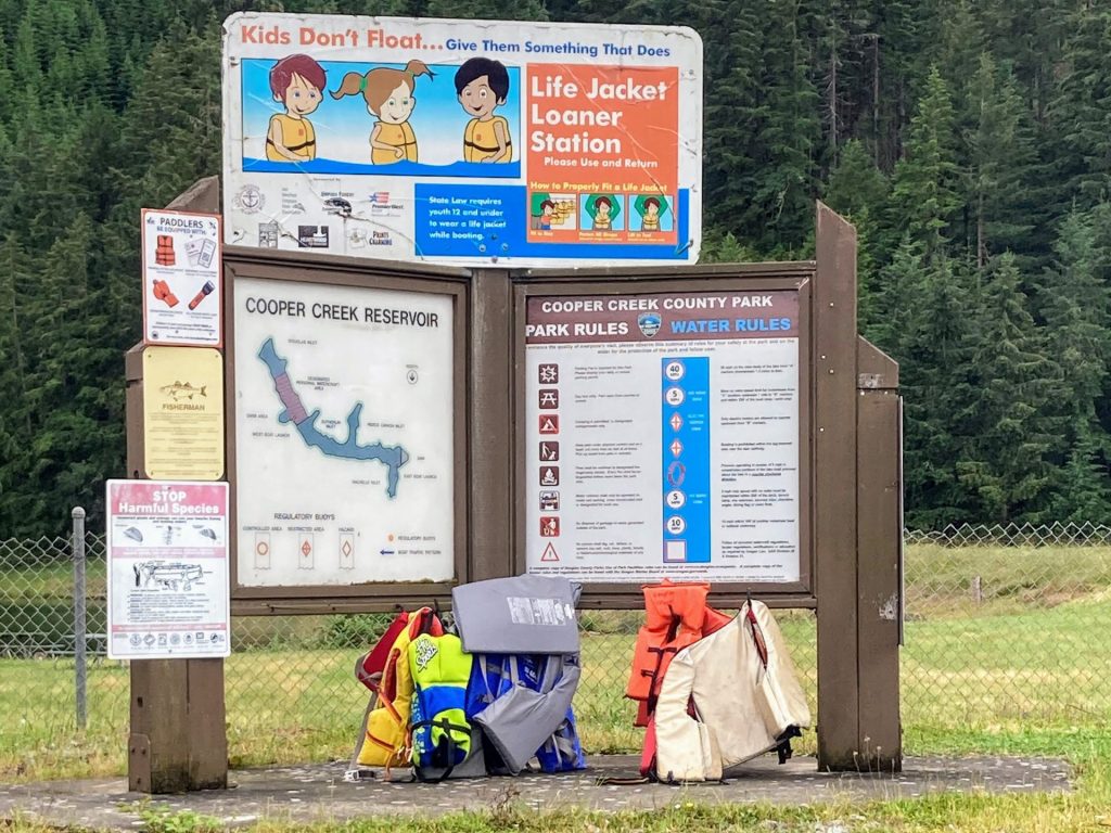
- PFD, Whistle, and Waterway Access Permit: In Oregon, all paddlecraft 10′ or longer (including SUPs, kayaks, and canoes) require a permit. You can purchase the permit online.
Beware that the routes and information on this site are just general guides and the best path may vary based on water level, obstructions, experience level, equipment, and other conditions. Paddlers are responsible for providing their own safety. Super Water Trails does not assume any liability.