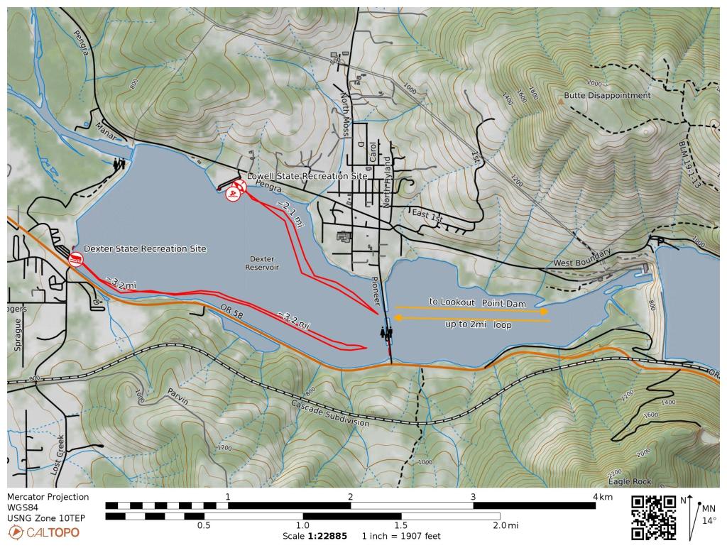
Skip ahead to check conditions
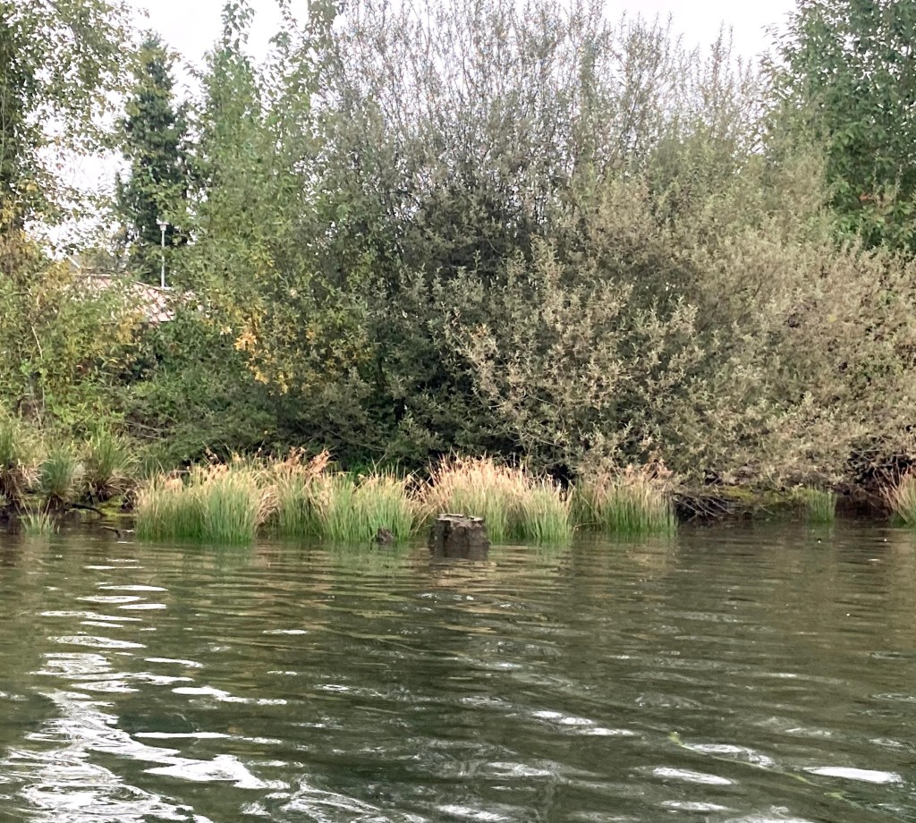
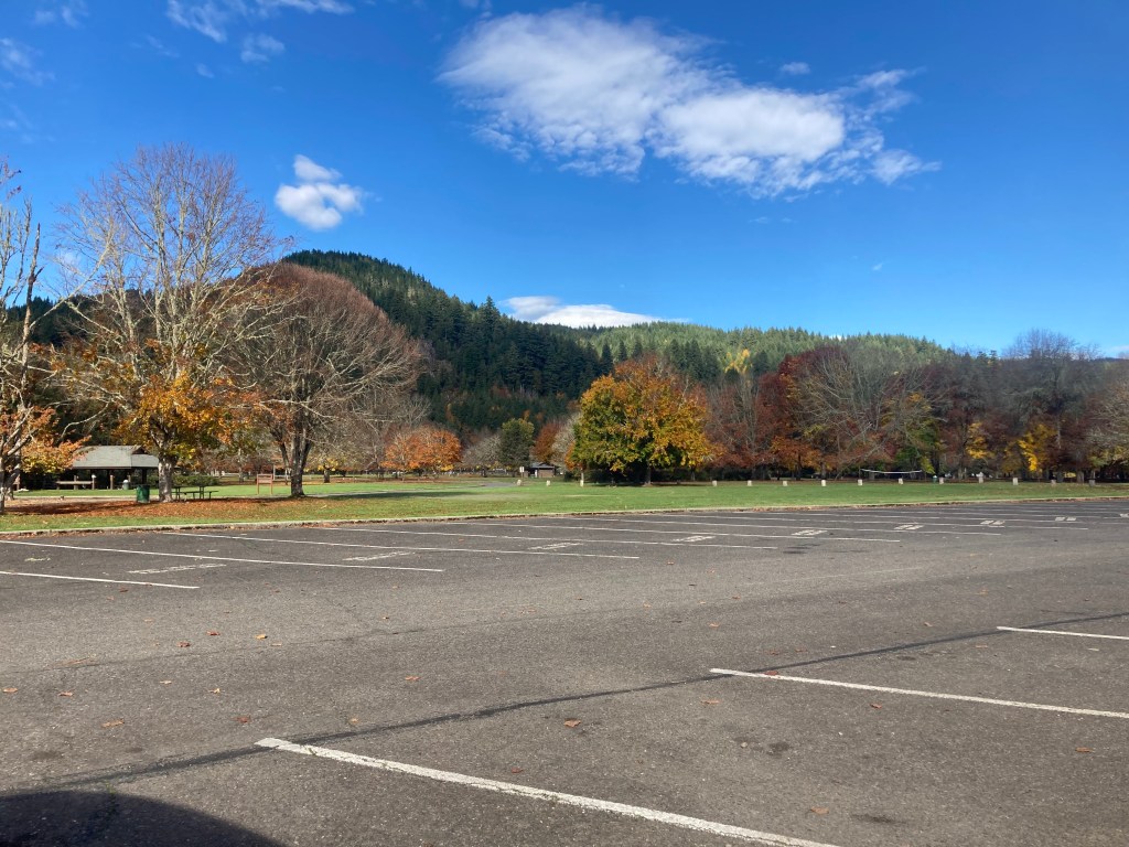
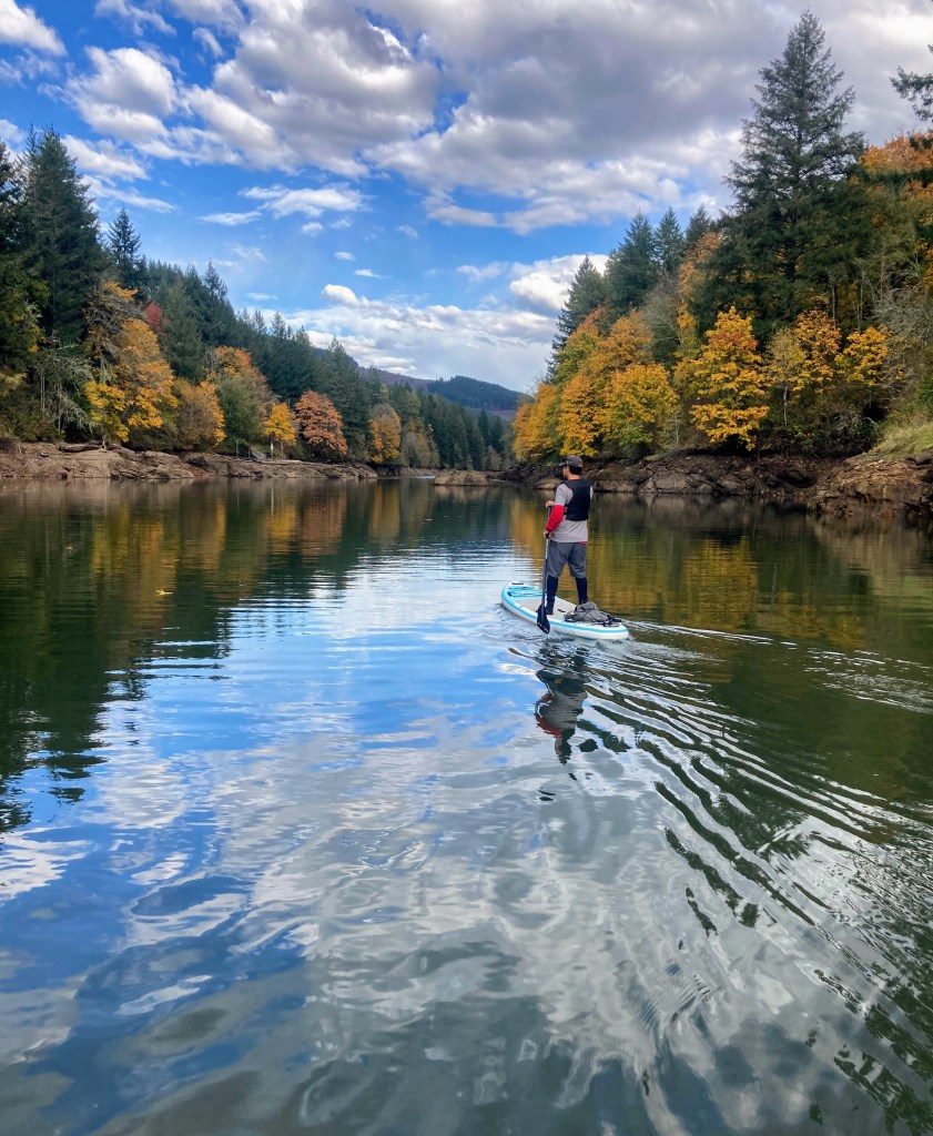
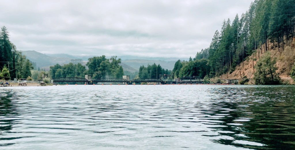
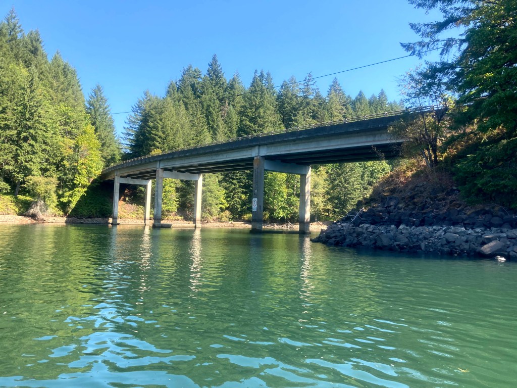
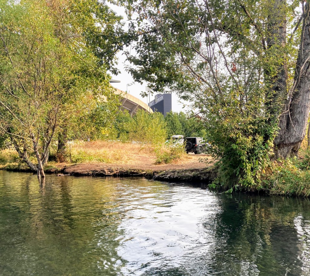
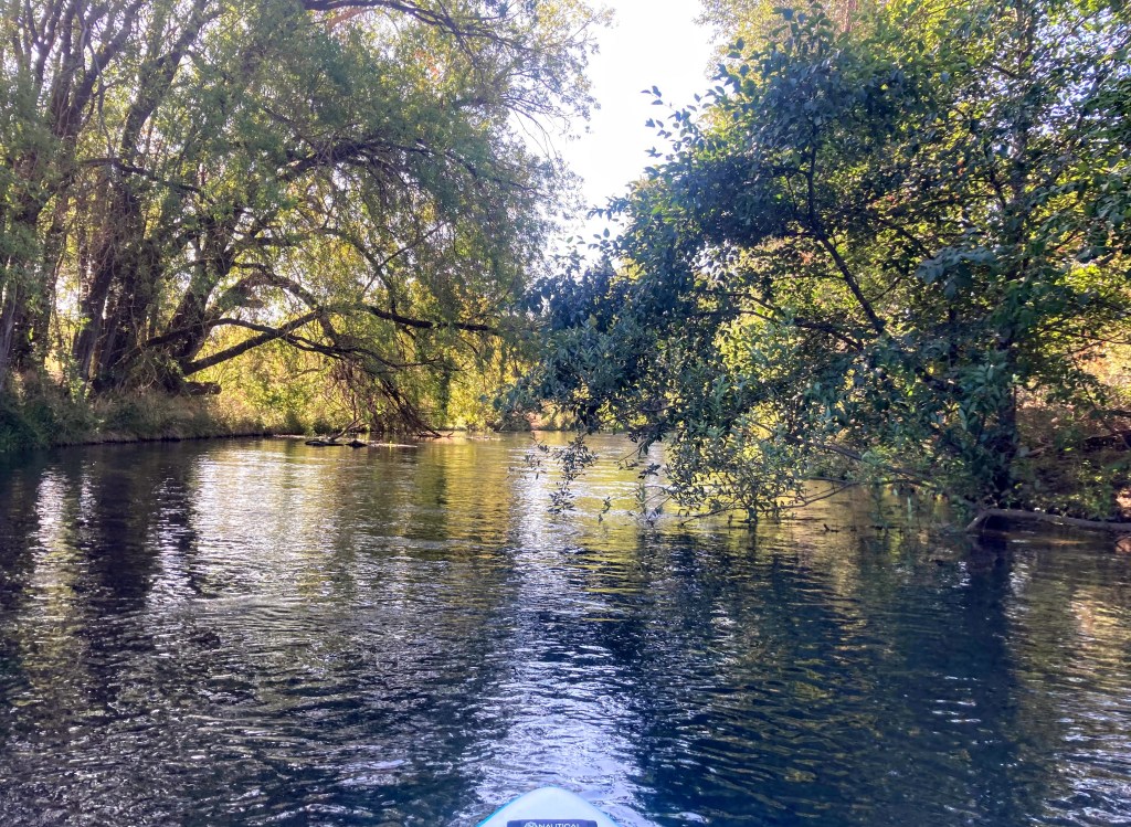
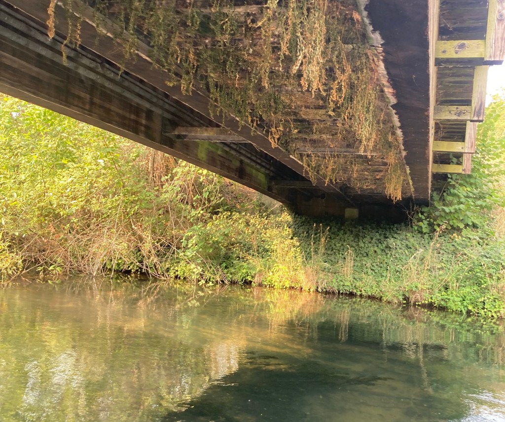
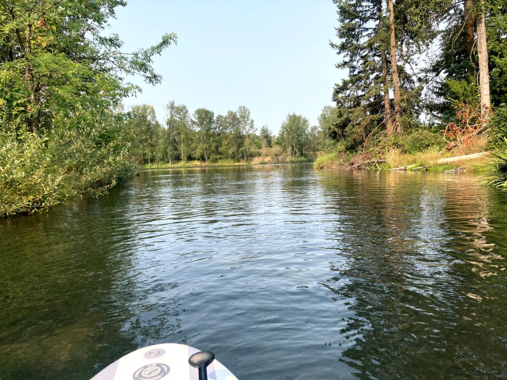
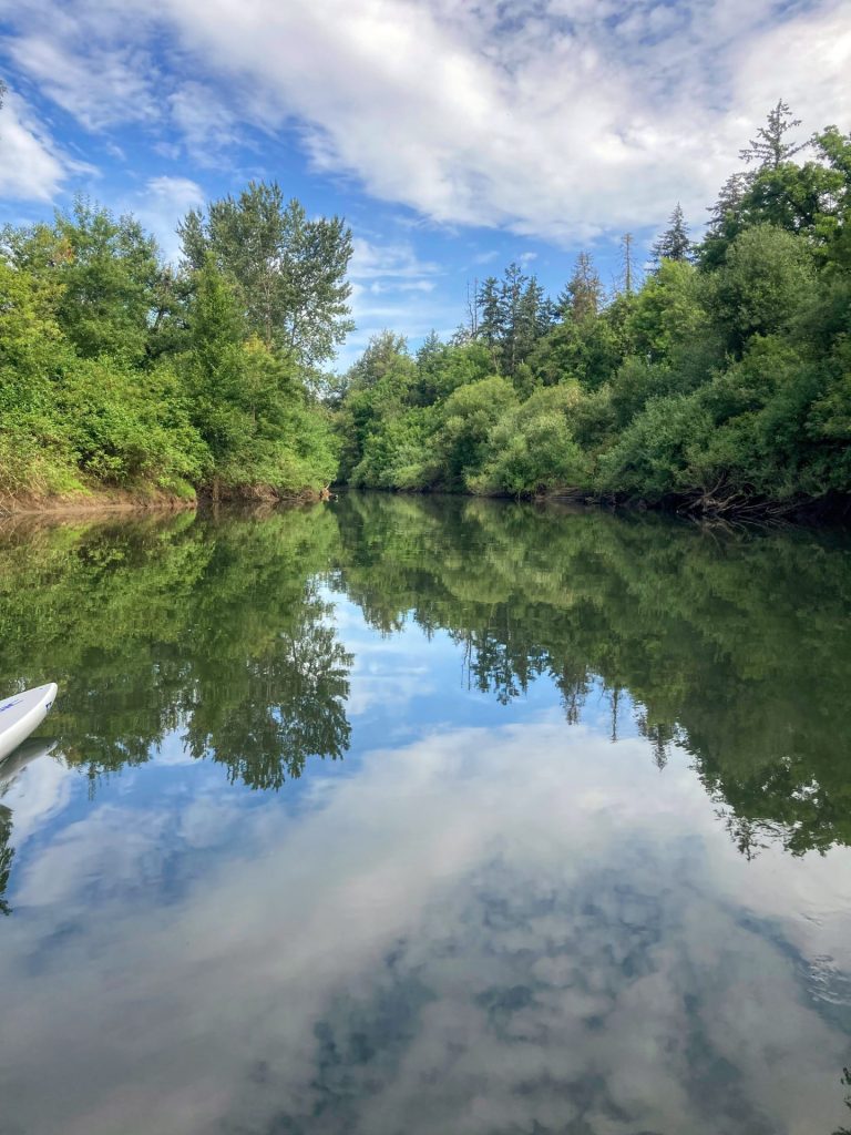
The Yamhill River drains the North Coast Range and slows down to barely a crawl in the summer and fall before emptying into the Willamette River near Newberg. This provides the opportunity for an easy, beginner-friendly, out-and-back paddle from Dayton where you can paddle up to the remnants of the Lafayette Locks (aka Yamhill Locks), an important part of early Yamhill County history. There are mostly SUPs, kayaks, canoes, and small motorboats here. The narrow waterway about 100ft wide and snag hazards keeps the larger boats away.
A little history
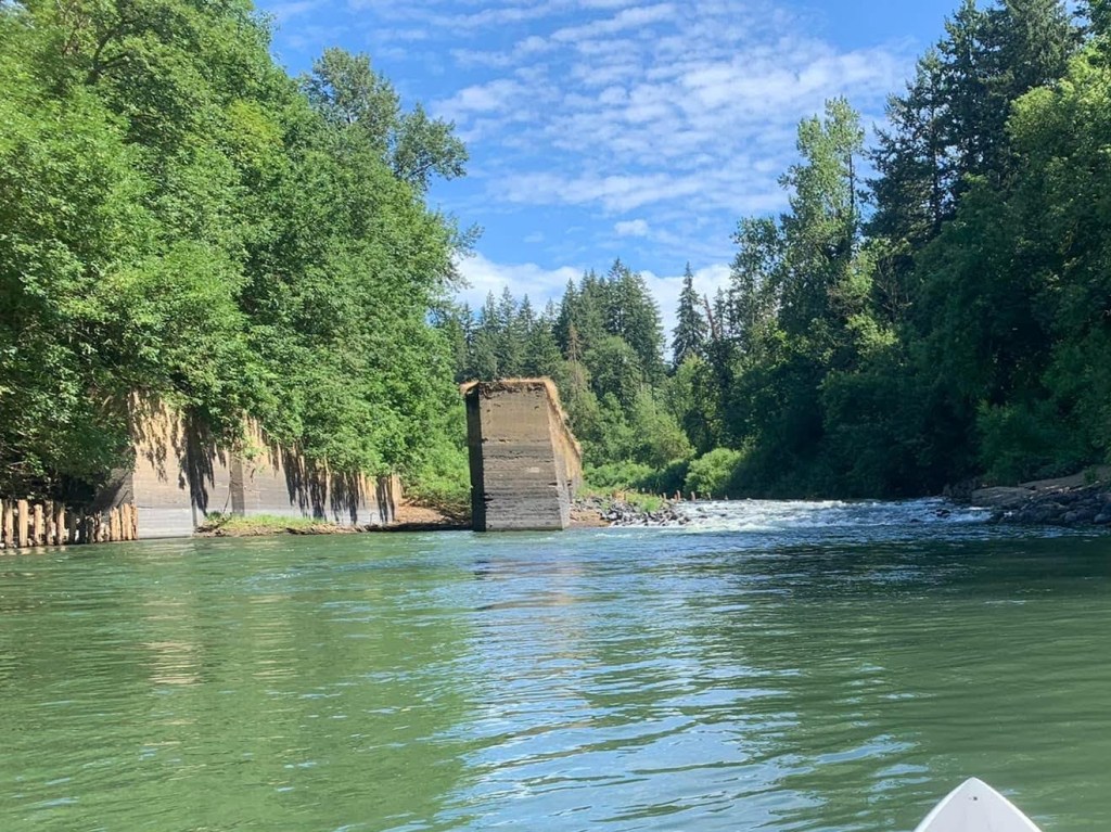
In the late 1800s, steamboats transported vital materials such as wheat and lumber from Portland to McMinnville on the Yamhill River. The lock and dam project at Lafayette would allow ships going upstream to pass even during the dry summers.
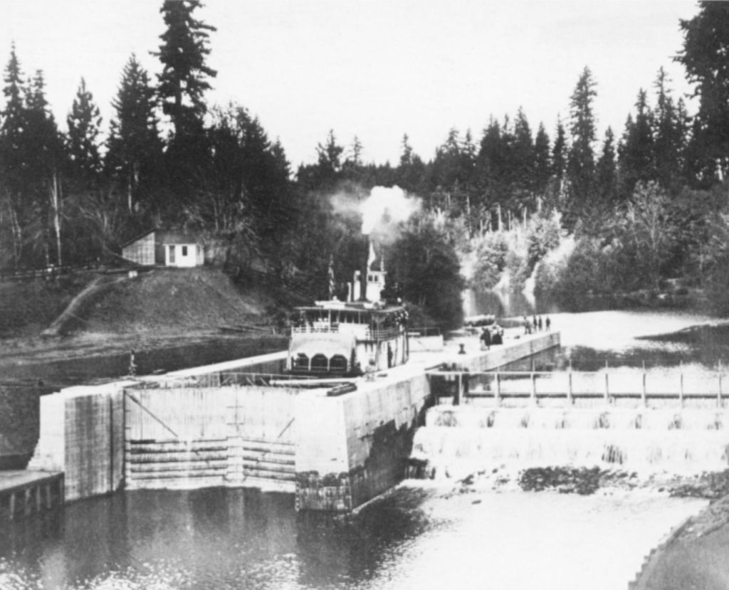
Unknown author – Oregon Historical Quarterly, Vol 91, No. 2 (Summer, 1990), cover page
This was highly contested by engineers though due to the dramatic rise and drop in water elevation on the Yamhill River. Nevertheless, it was eventually completed in 1900. Sadly, in the years after its completion, winter and spring floods would result in water rising above the lock and dam, which made the lock useless and the dam a navigational hazard. These problems limited its utility and more importantly, the interest of businesses. The lock ceased operations and was eventually blasted in 1950 in order to allow for native fish migration.
Good to Know:
- The best times to paddle this route are usually between May through October. Outside of these months, you may encounter higher flows, dangerous logjams, and colder water temperatures.
- The cellular reception is average here.
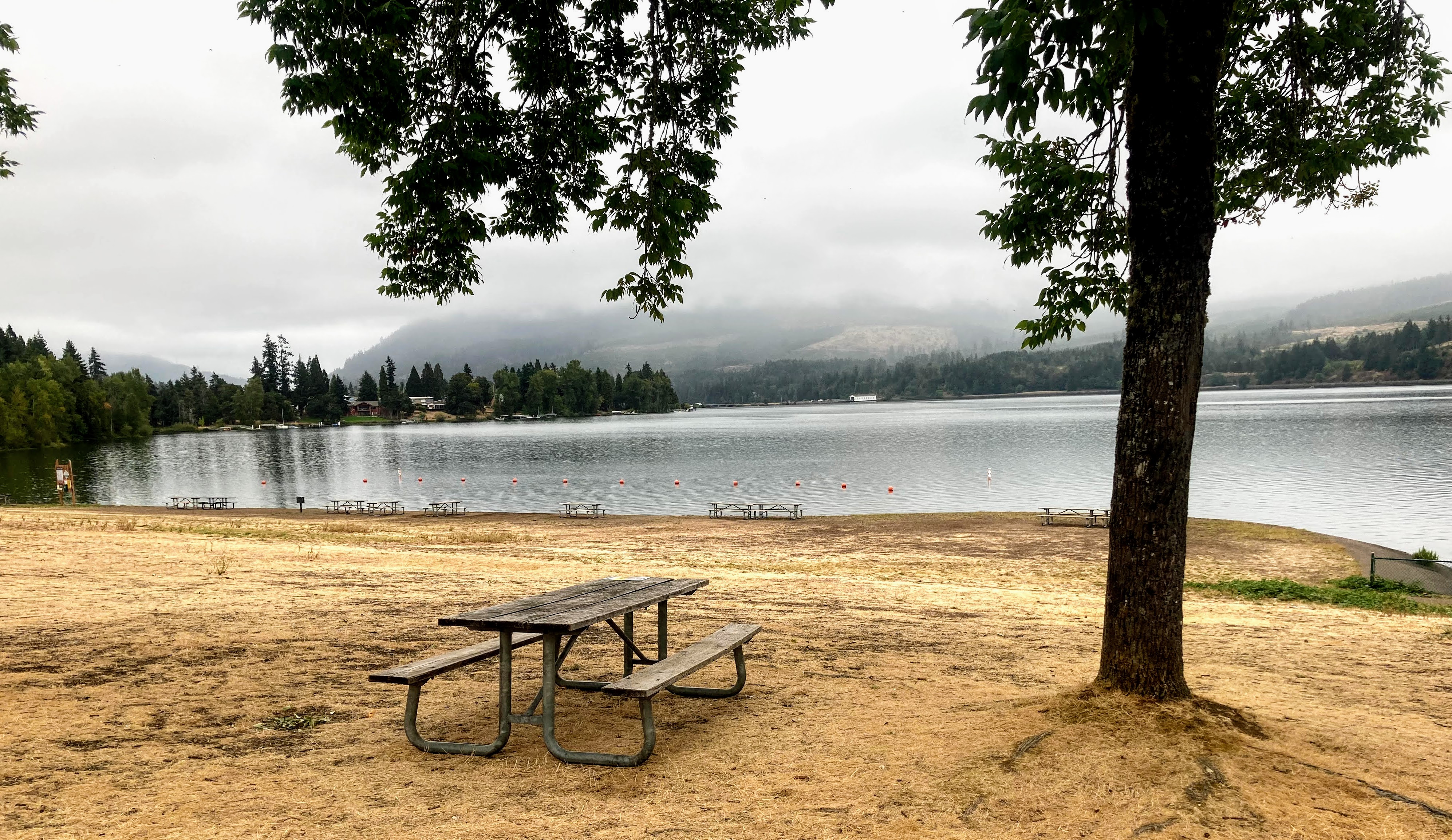
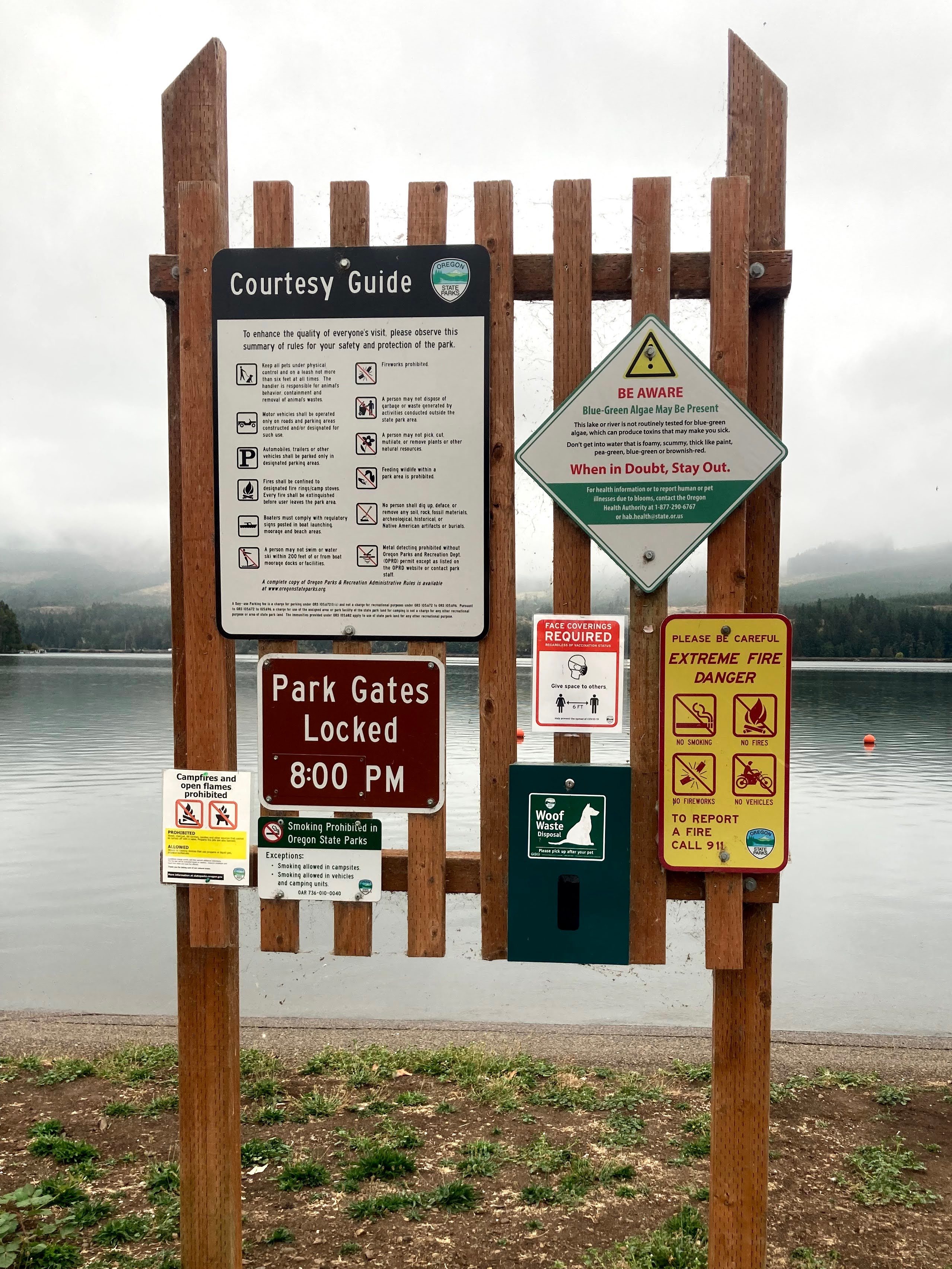
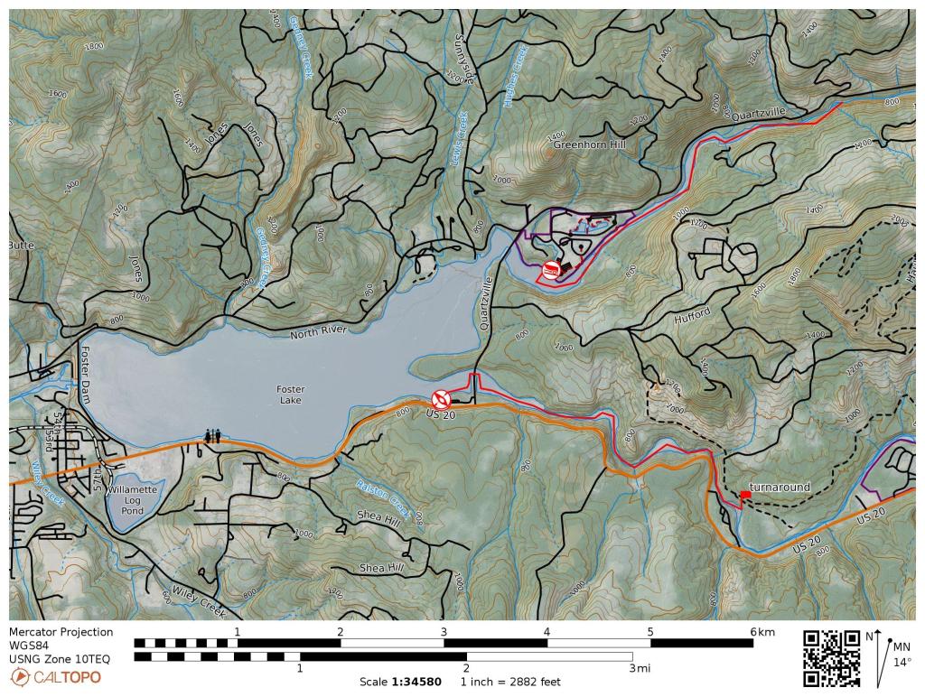
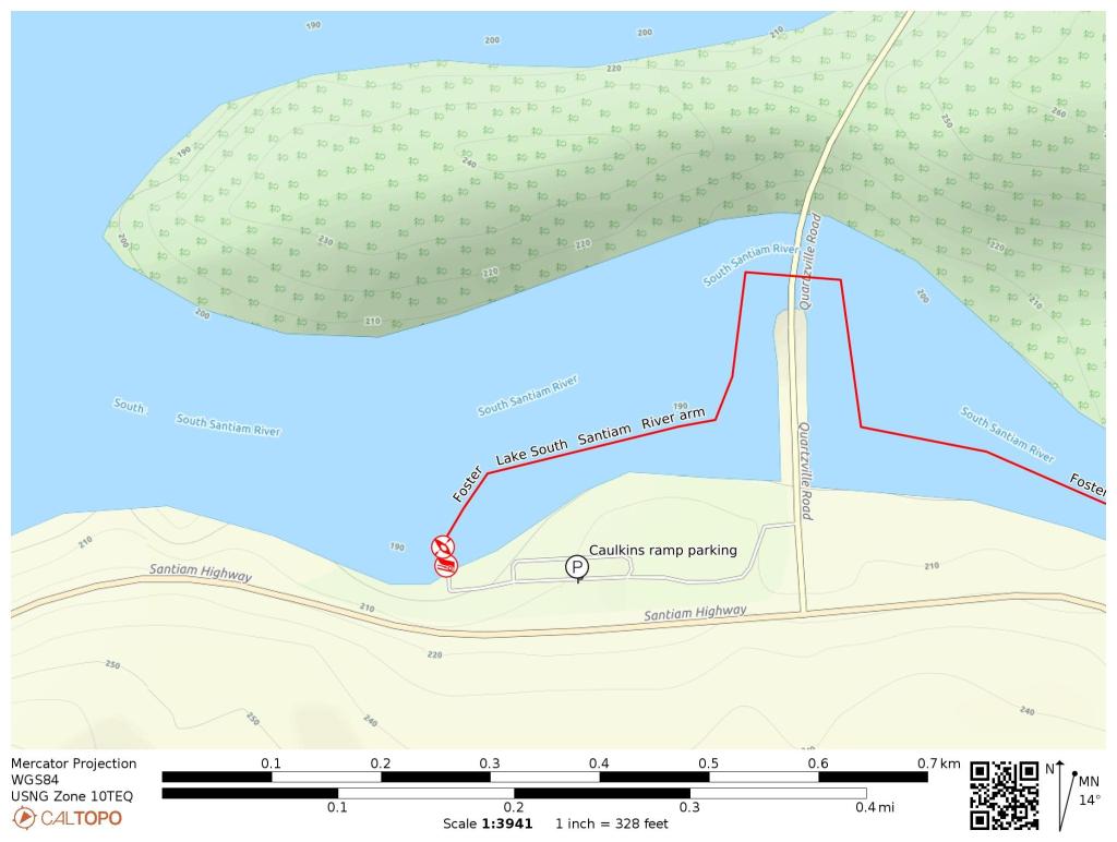
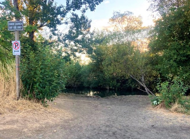
Launch Site:
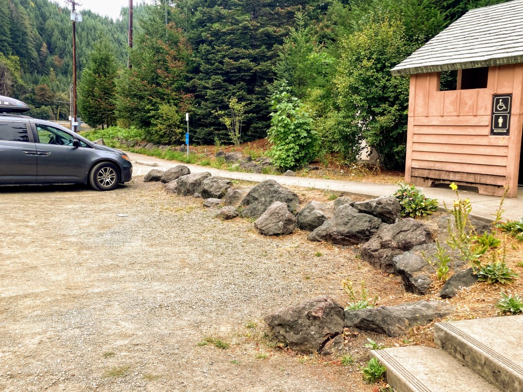
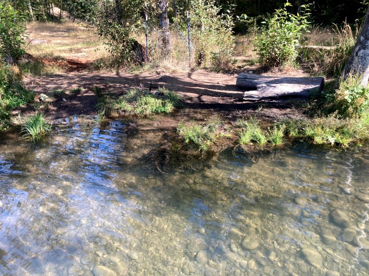
Dayton Landing
- Parking fee: no fee
- Launch type: boat ramp
- Restrooms: none
- Open: year-round
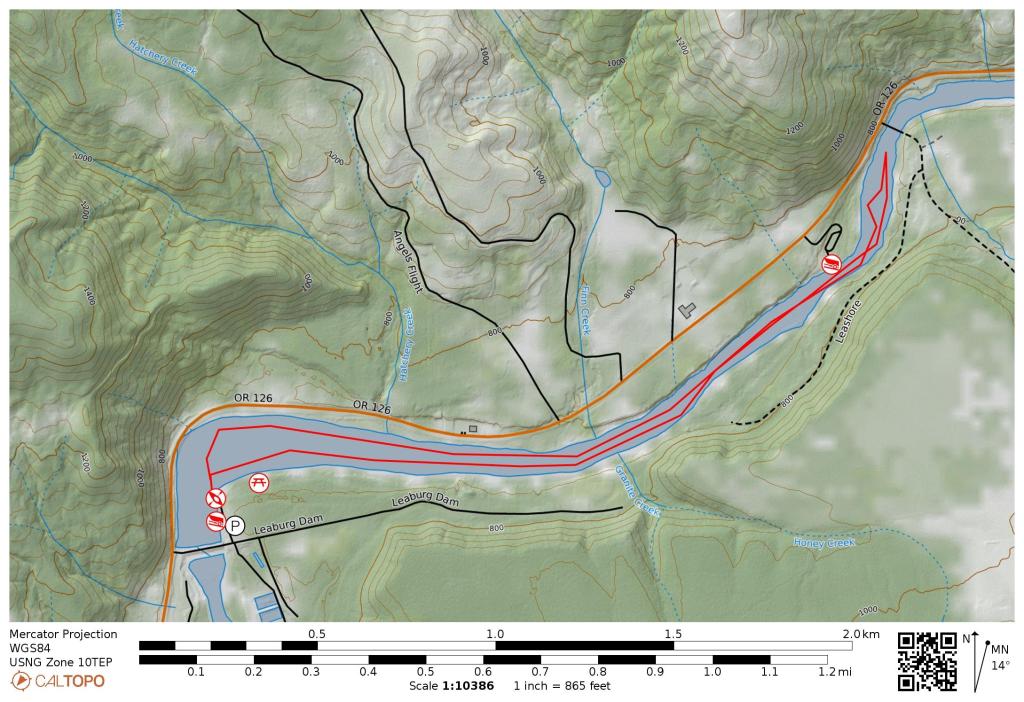
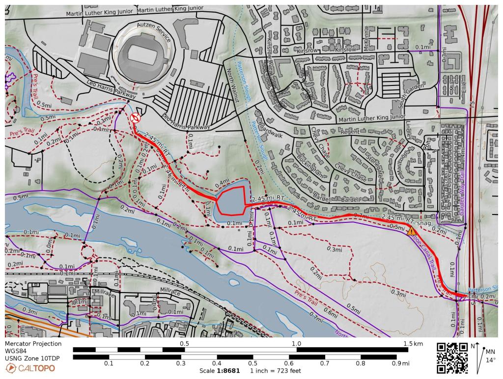
Parking: Dayton Landing is a very small park managed by Yamhill County Parks. It has a gravel parking lot and a small boat ramp. It can be a little tricky to find so I’ve included coordinates.
Driving Directions:
GPS coordinates to gravel parking lot 45.22194, -123.07102


Original Collection: Gerald W. Williams Collection
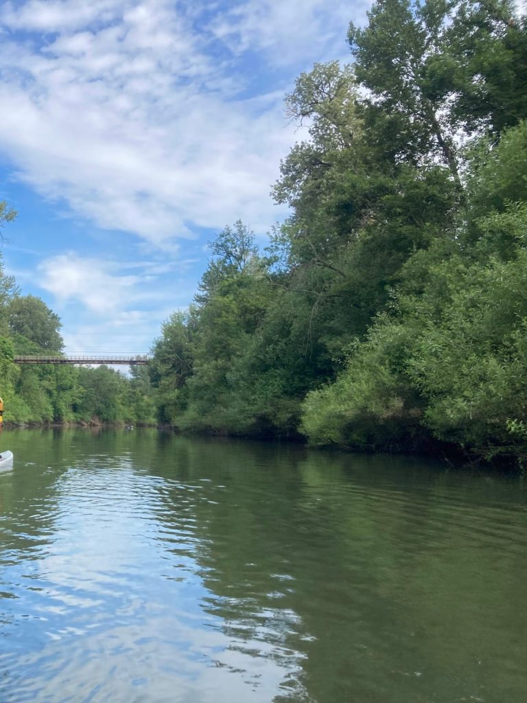
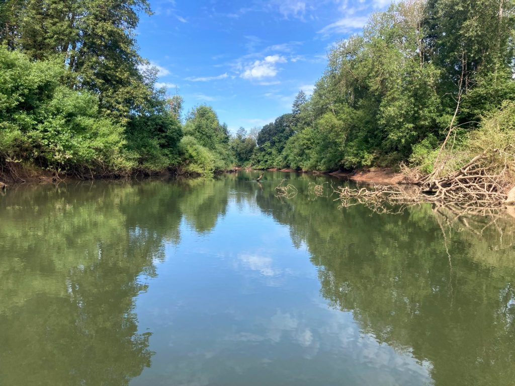
After- taken July 2022
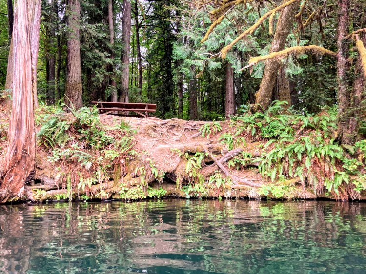
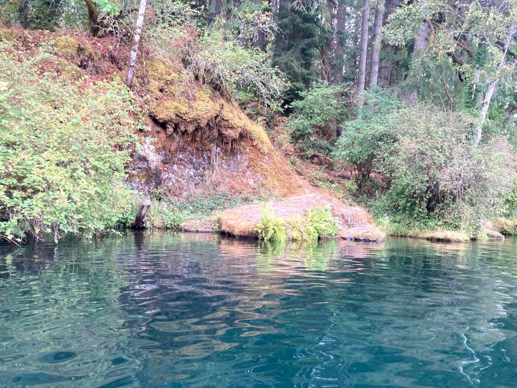
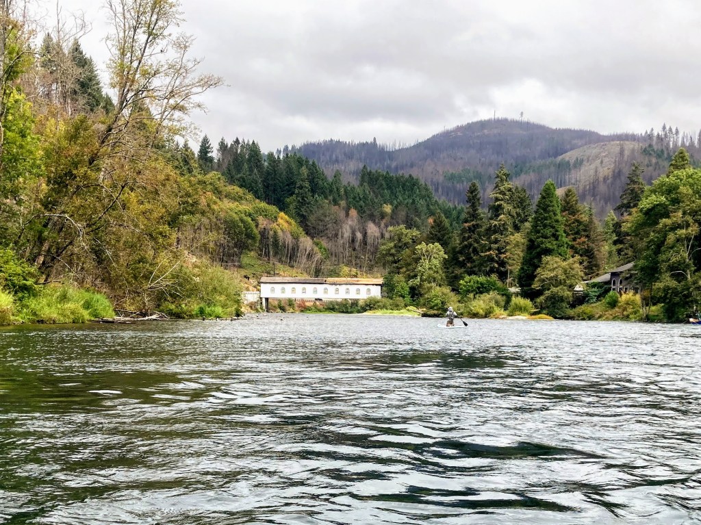
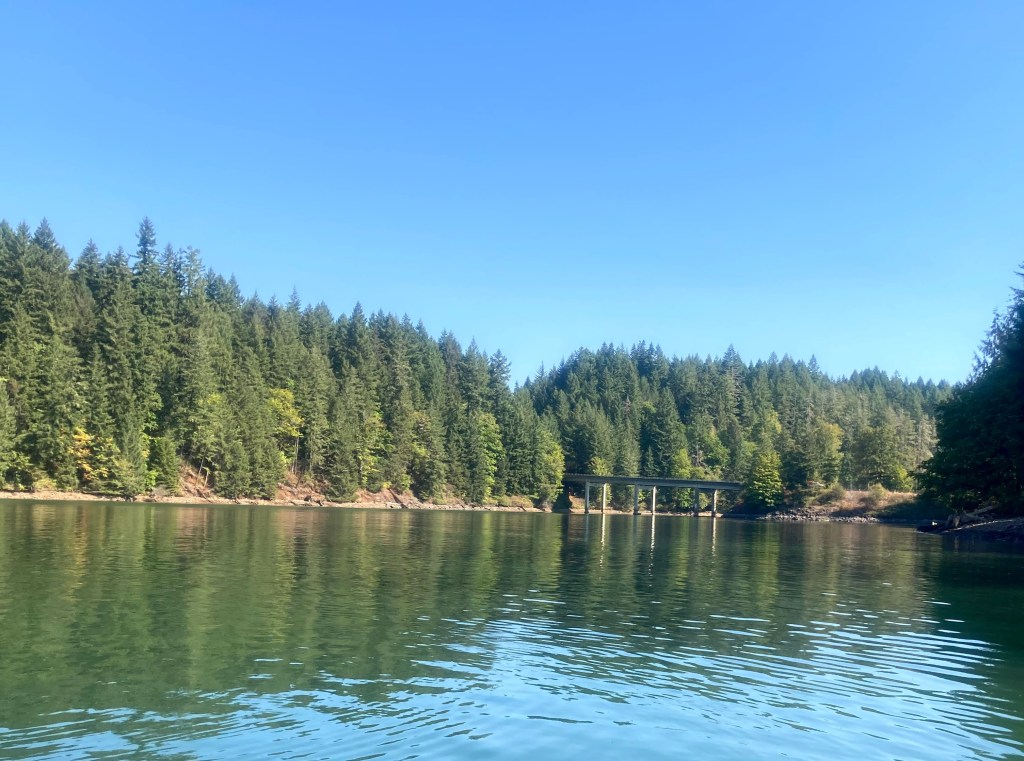
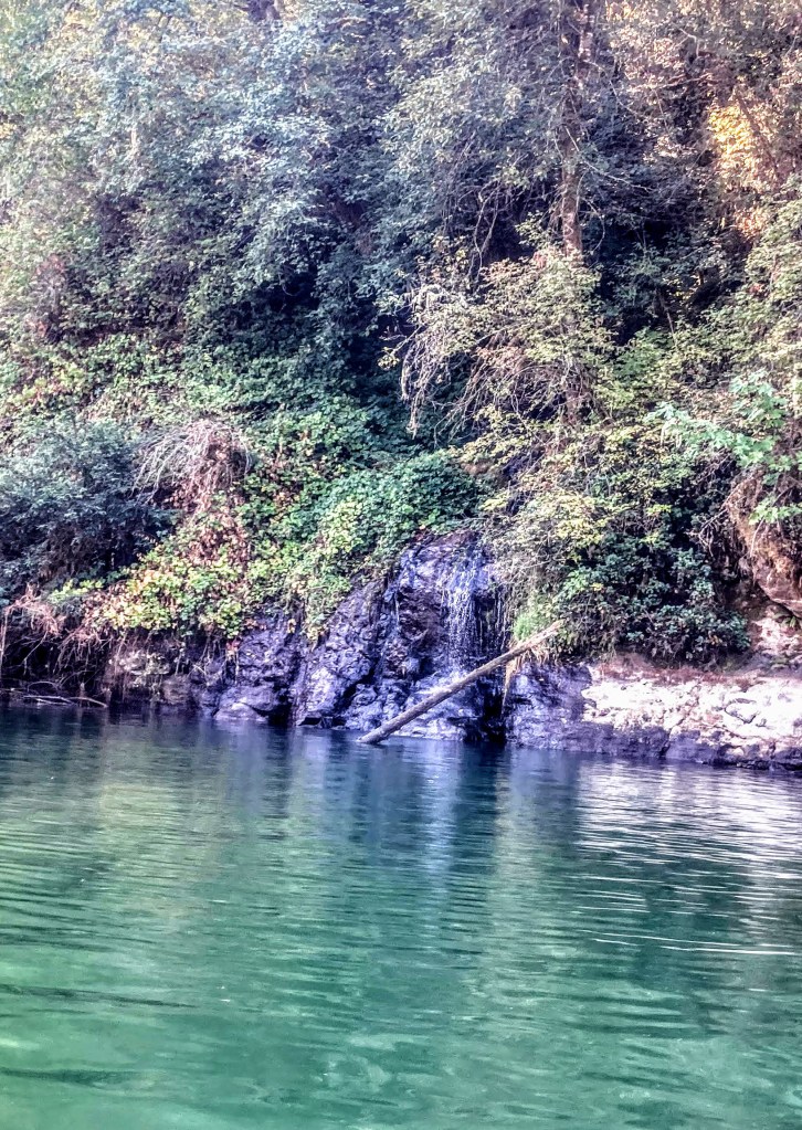
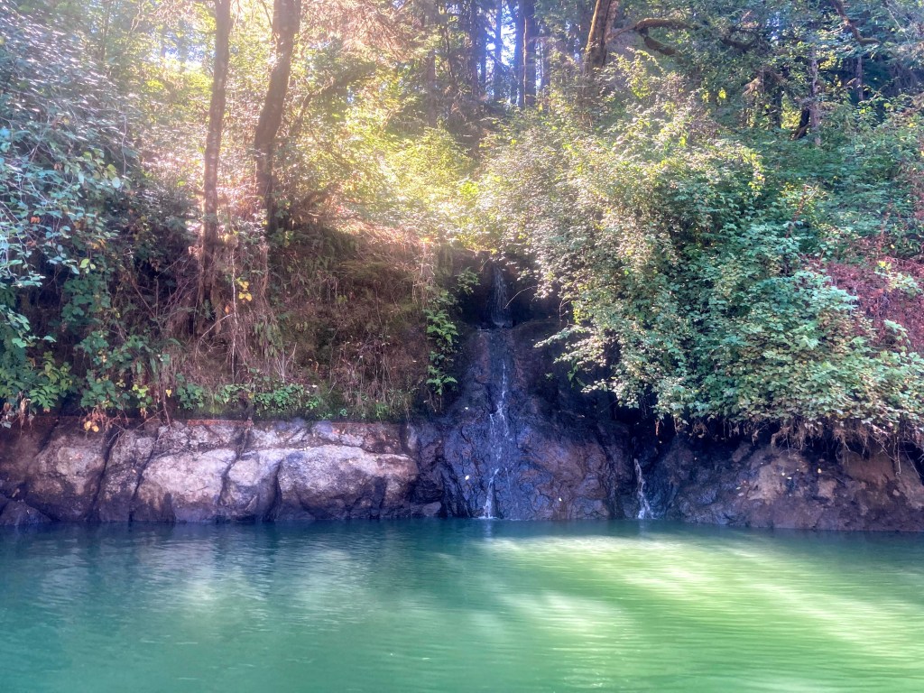
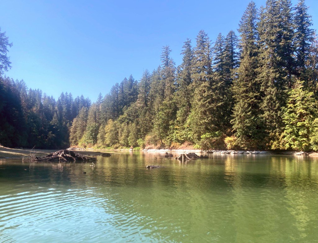
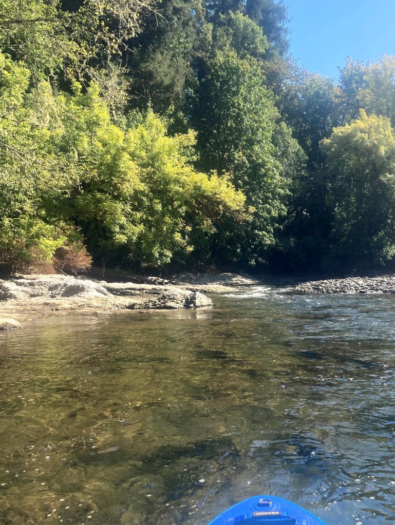
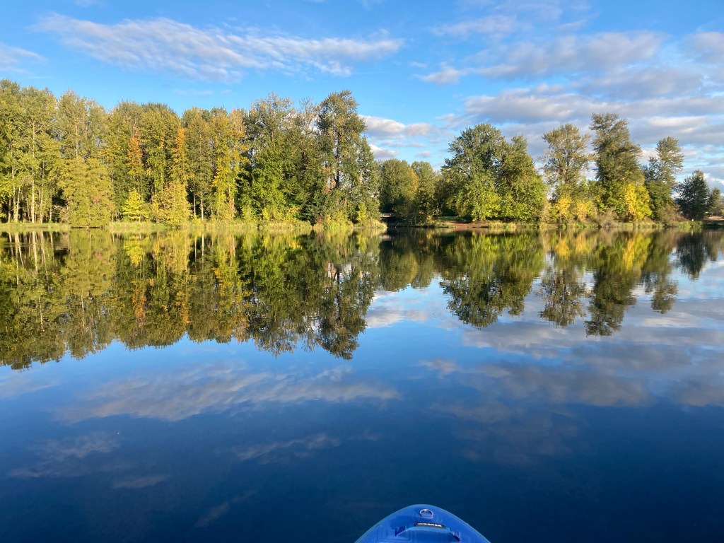
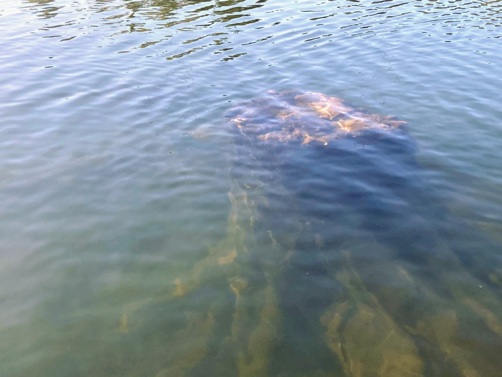
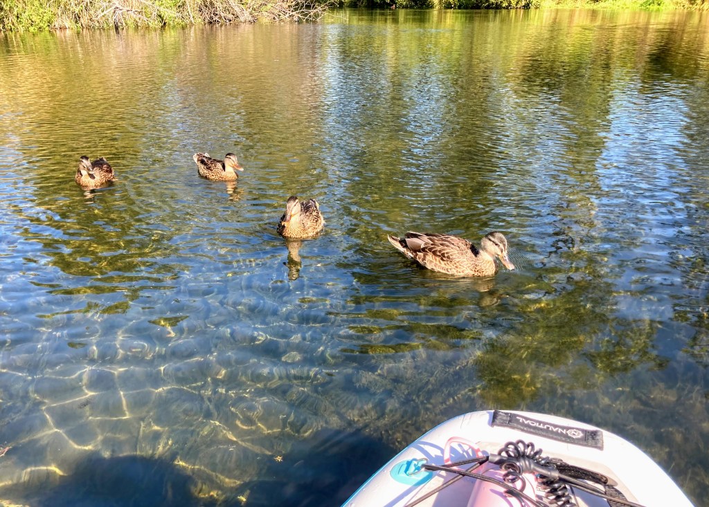
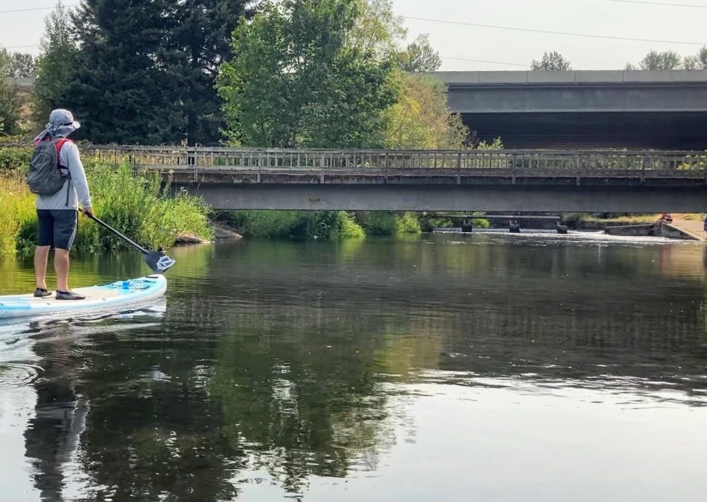
Photo Gallery:
Additional Things to Do:
- drive over to the Lafayette Locks Historical Park– to get a view of the entire dam and lock site from above; there is also a toilet there.
Check before you go:
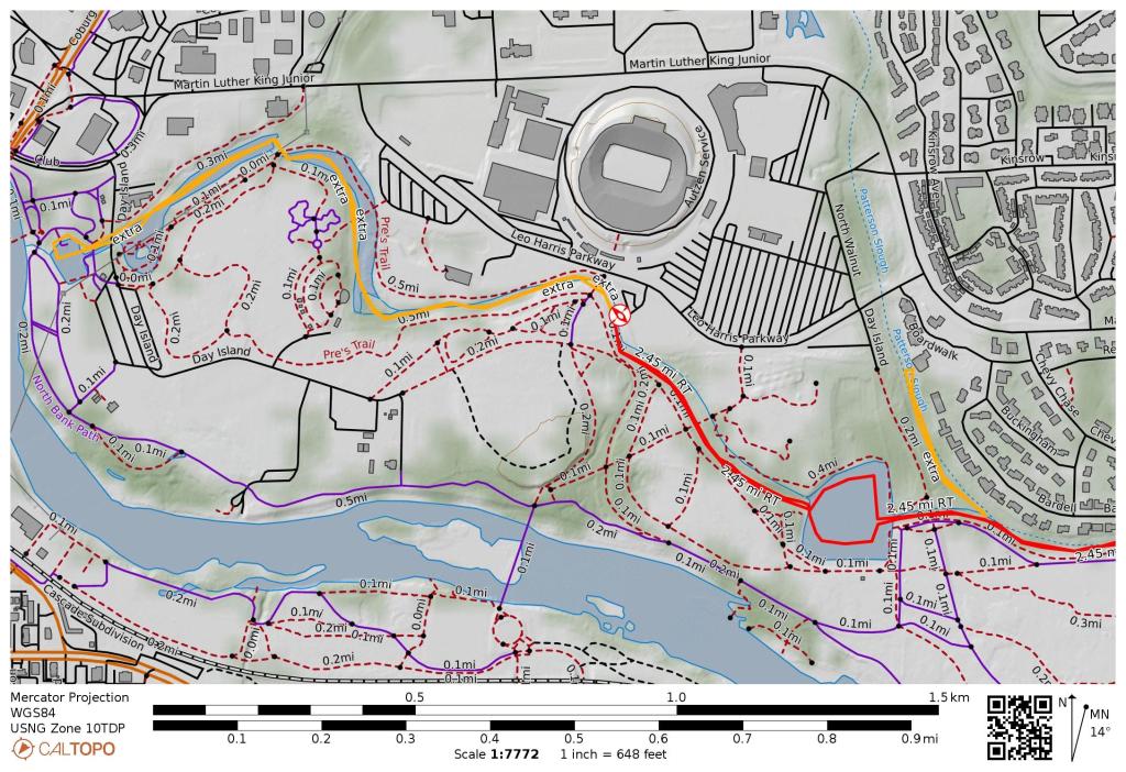
- Maps and Suggested Routes: Download or print out a map before you go from the SWT Planner App. As a premium member, you can access an ever-growing library of paddling-related maps and suggested routes.
- Weather: Check the weather forecast for the area.
- Inspect your watercraft. You can help prevent the spread of aquatic invasive species by wiping off any vegetation or debris from your watercraft and making sure it is dry each time before entering a new waterway.
- PFD, Whistle, and Waterway Access Permit: In Oregon, all paddlecraft 10′ or longer (including SUPs, kayaks, and canoes) require a permit. You can purchase the permit online.
Beware that the routes and information on this site are just general guides and the best path may vary based on water level, obstructions, experience level, equipment, and other conditions. Paddlers are responsible for providing their own safety. Super Water Trails does not assume any liability.