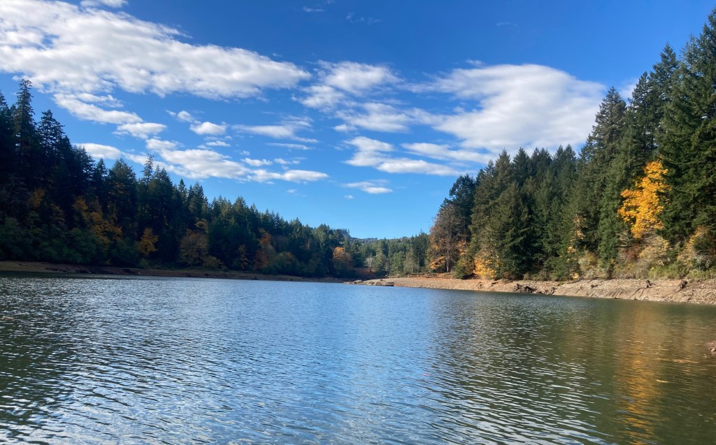
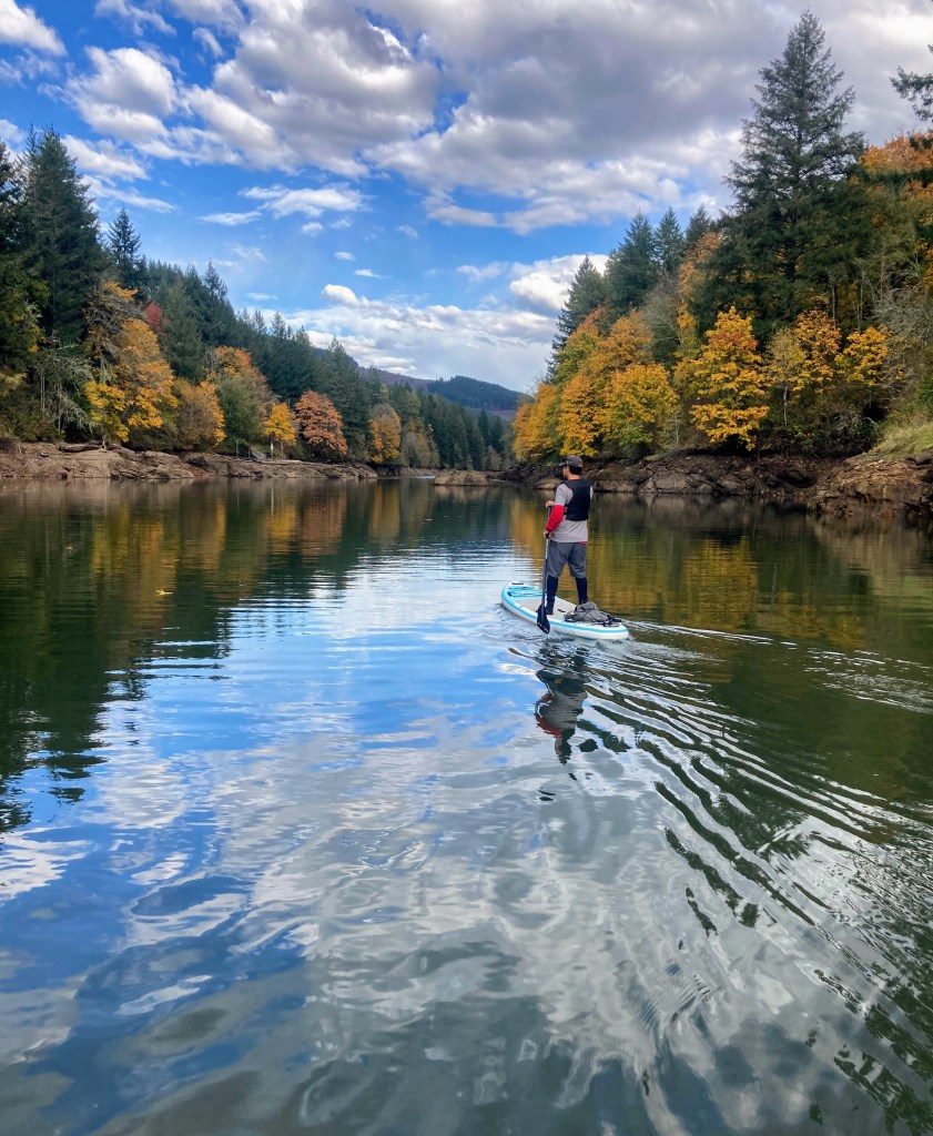
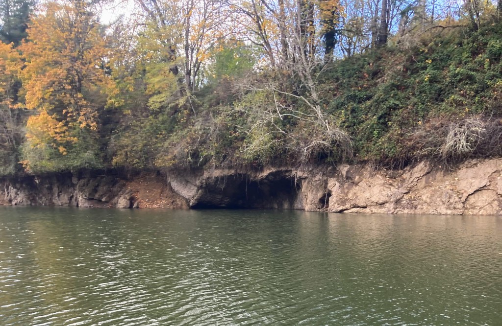
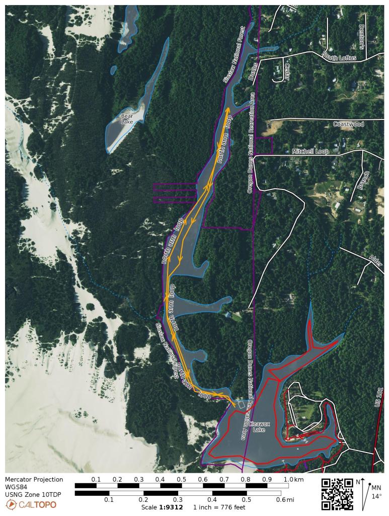
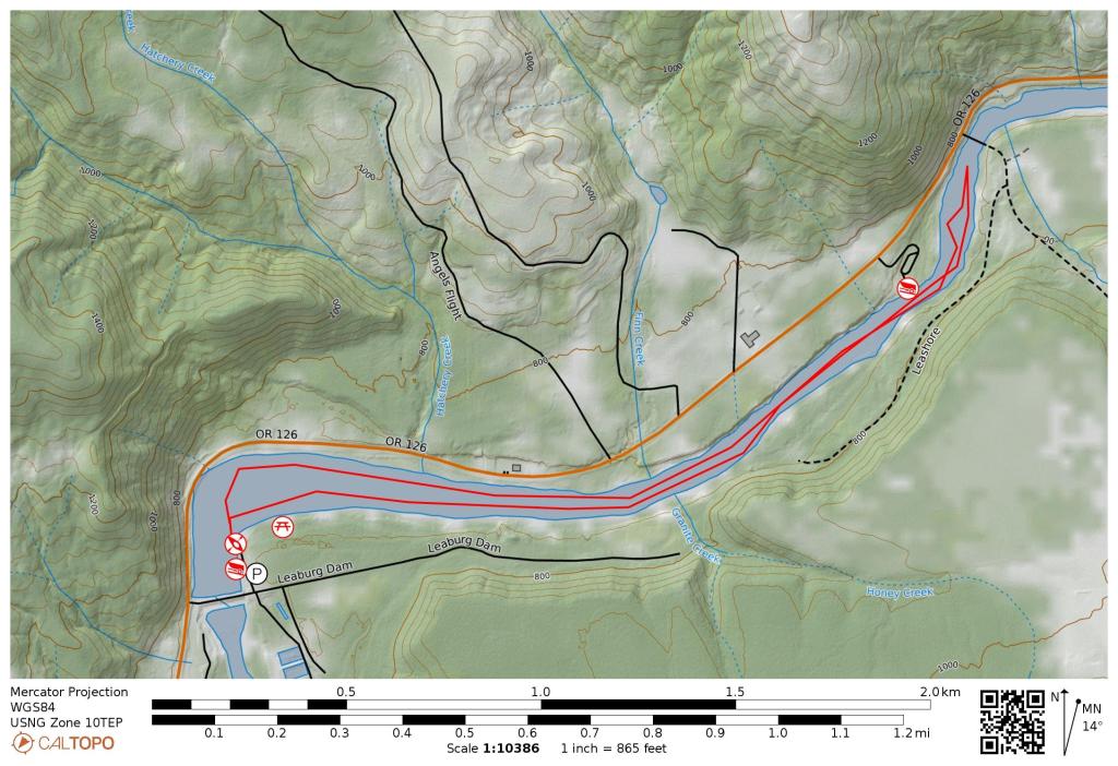
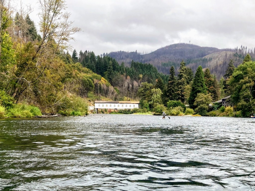
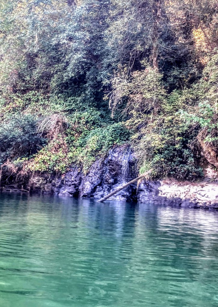
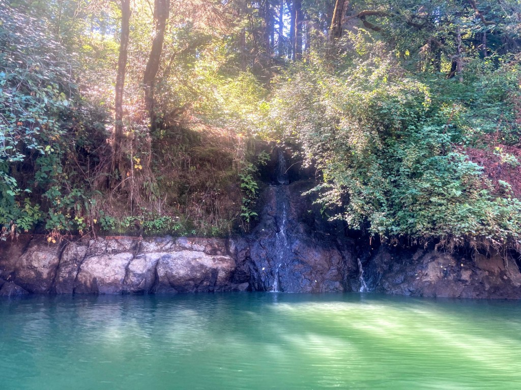
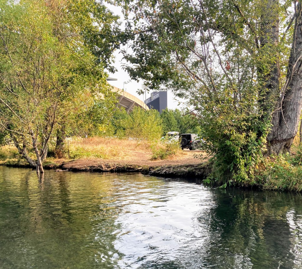
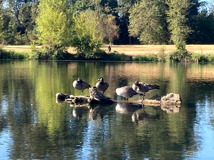
Dexter Reservoir is located along Hwy 58 just 19 miles east of Eugene and the water levels are maintained year-round. It’s a popular place for boaters, water-skiers, and even the UO rowing club. First-timers and kids enjoy coming here to play near the swimming beach and more secure paddlers can venture out further. You can also visit early mornings or after the peak summer season for a calmer paddle.
The reservoir is a reregulating dam that captures the cold water discharged from Lookout Point Dam during power generation. Together, the two reservoirs generate hydroelectric power and prevent flood damage downstream from the Middle Fork Willamette River.
- Route length– 2-5 miles out and back
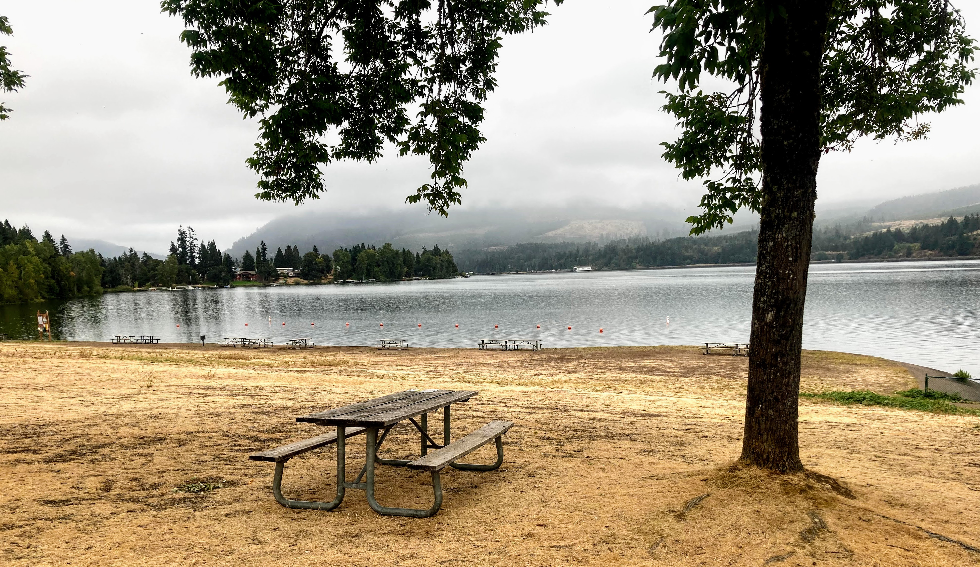
- Fee – none
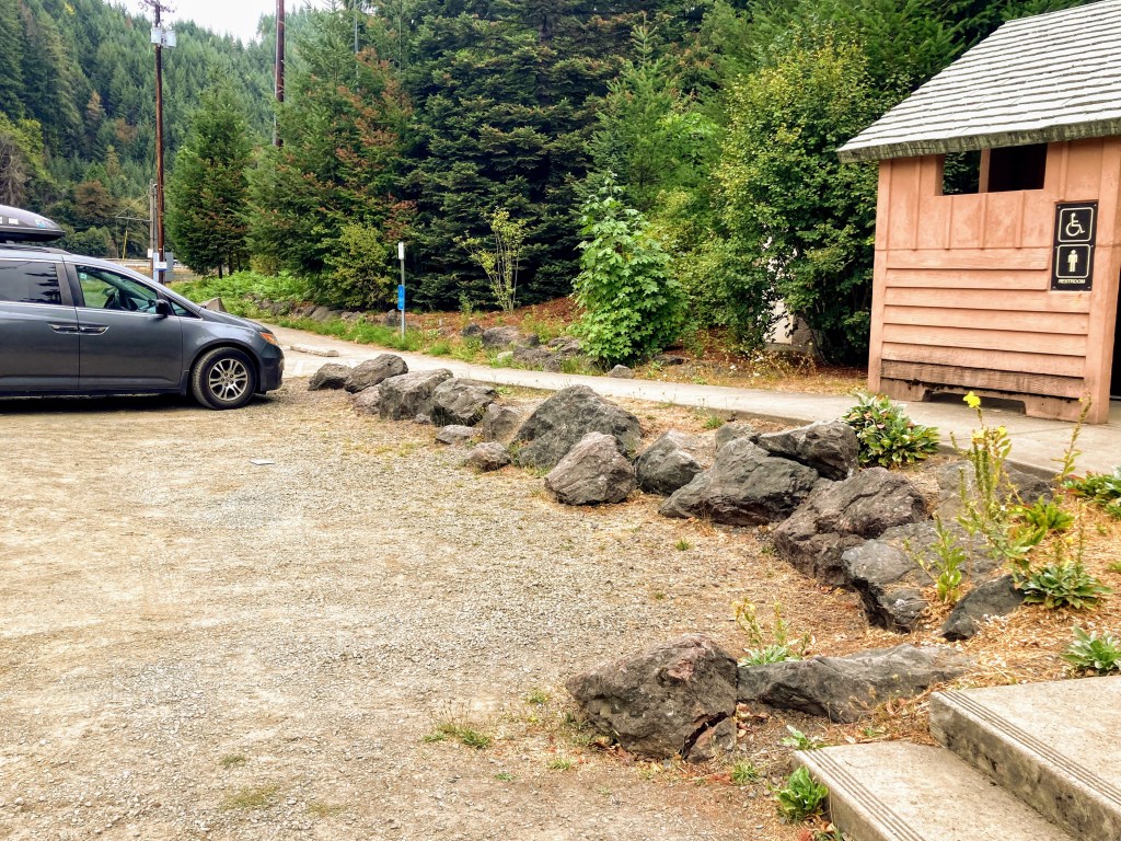
- Restrooms– flush toilets (at Lowell SRS), vault toilets (at Dexter SRS)
- Cellular signal– excellent
- Best times to go – May- Oct
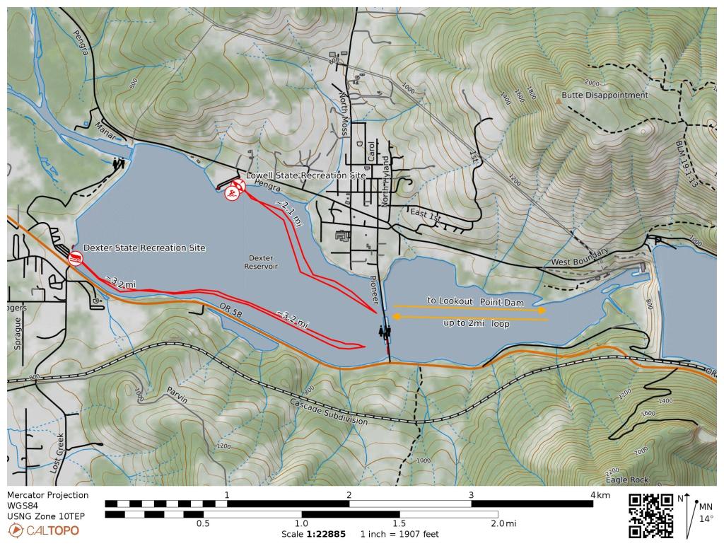
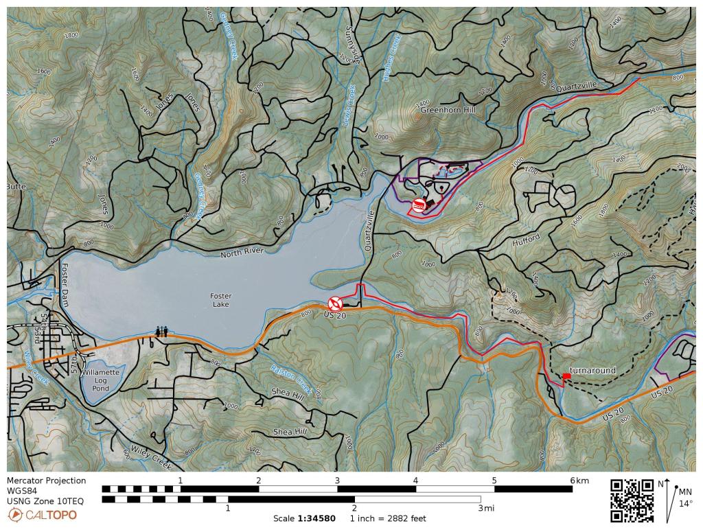
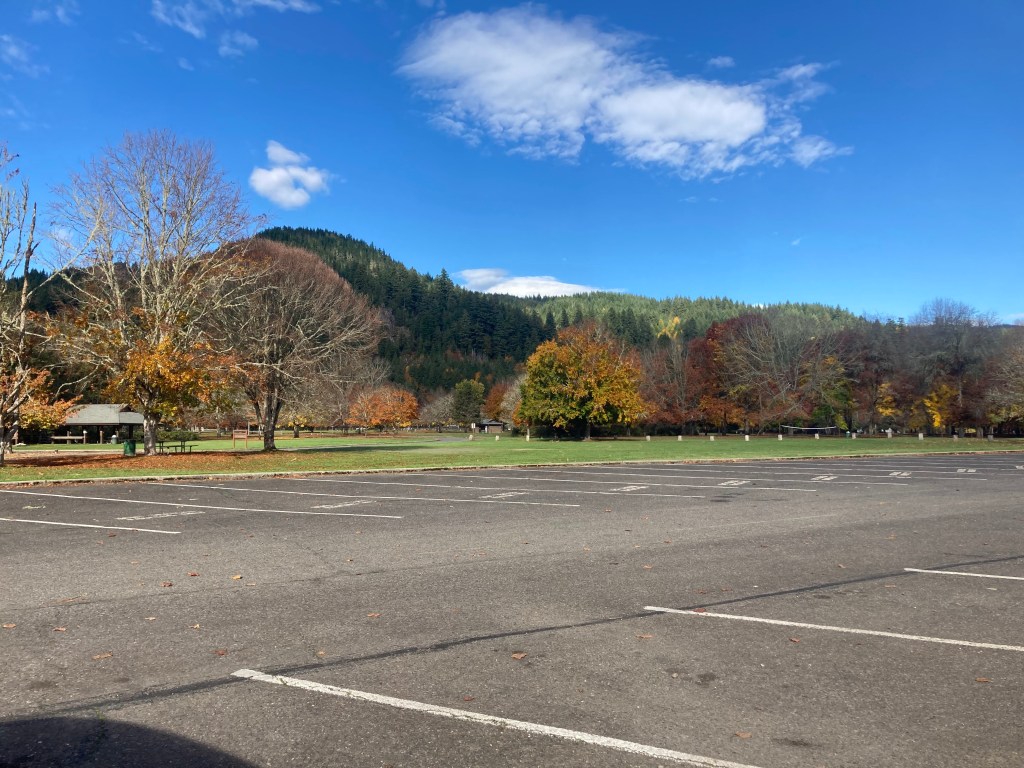
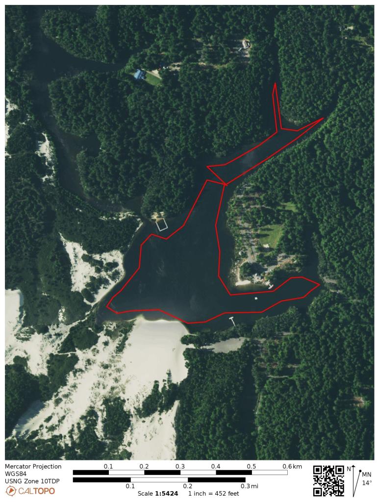
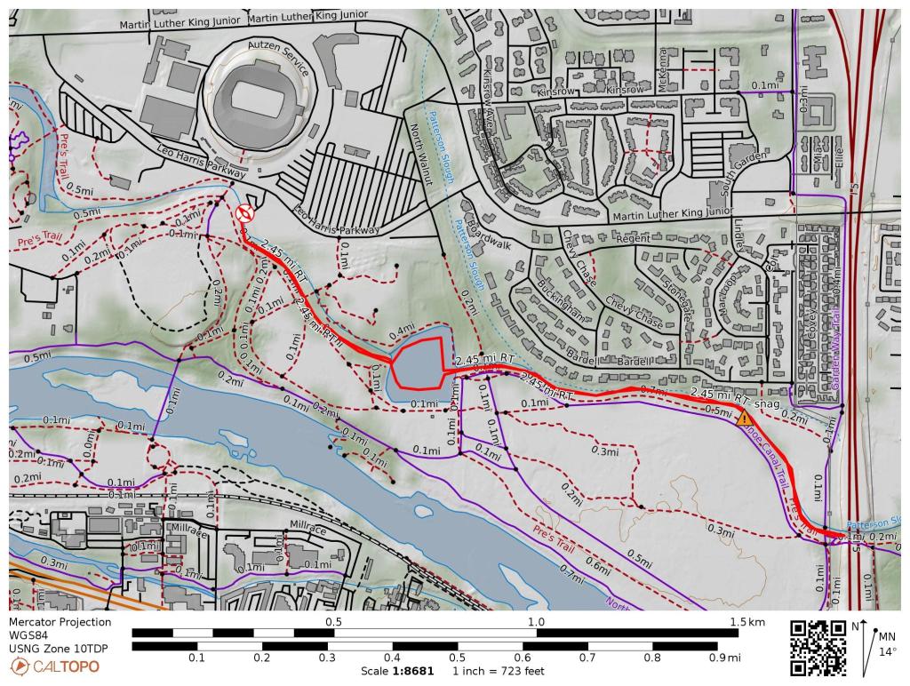
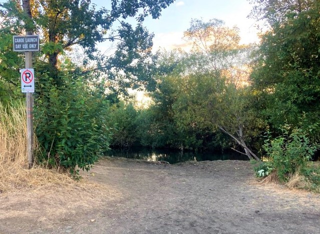
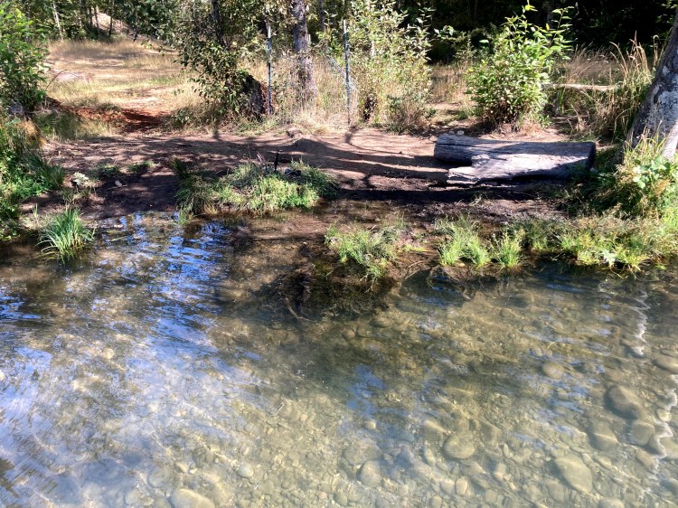
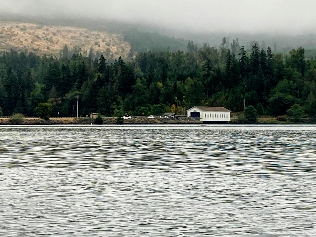
There are two Oregon state recreation sites (SRS) that allow access to Dexter Reservoir. Lowell SRS has the swimming beach, flush toilets, and a play area for kids. It is also a shorter paddle to get to the covered bridge, if that is your goal. Dexter SRS, on the other hand, is conveniently located right off the Hwy 58 and it has a disc golf course and trails leading to Elijah Bristow State Park.
Directions:
Lowell day use area 
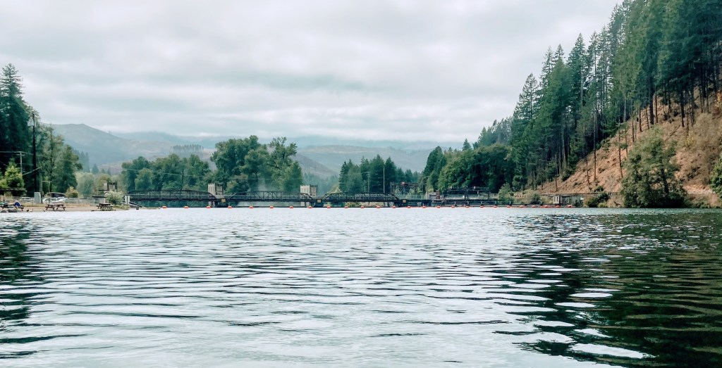
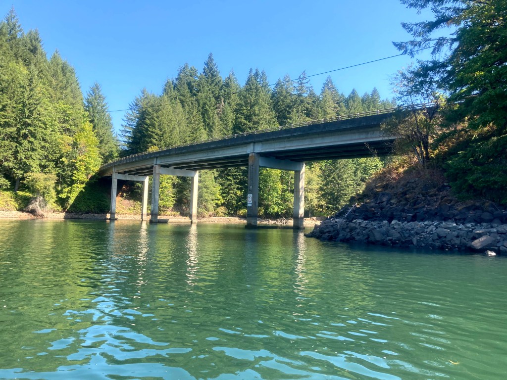
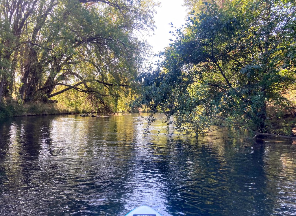
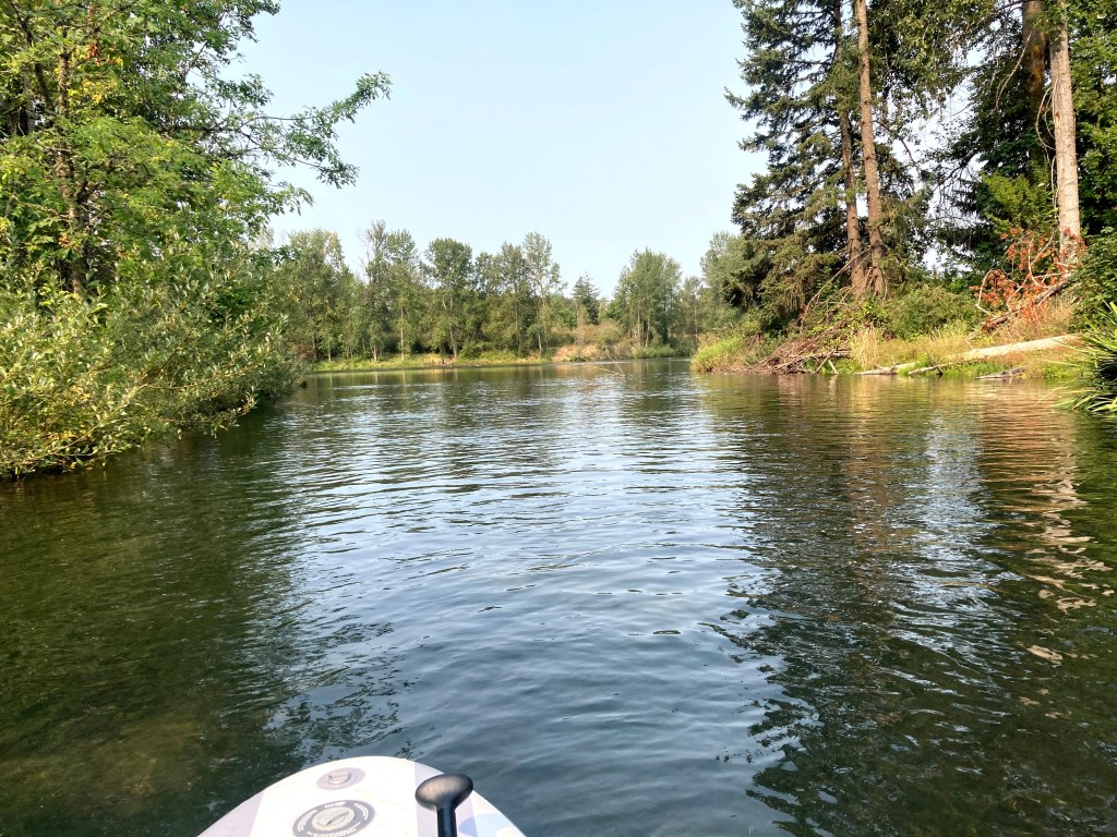
At Lowell SRS, launch anywhere along the swim beach area. Start out by paddling left towards the covered bridge. You will pass a few private homes behind the no-wake zone.
Dexter SRS is located on the southwest corner of the lake. If you launch from here, you will be paddling alongside the Hwy 58 and end up on the side closer to the Lowell Covered Bridge.
Turnaround when you get near the bridge if you want about a 2-mile paddle starting from Lowell SRS or 3-mile paddle starting from Dexter SRS.
Want more paddling?
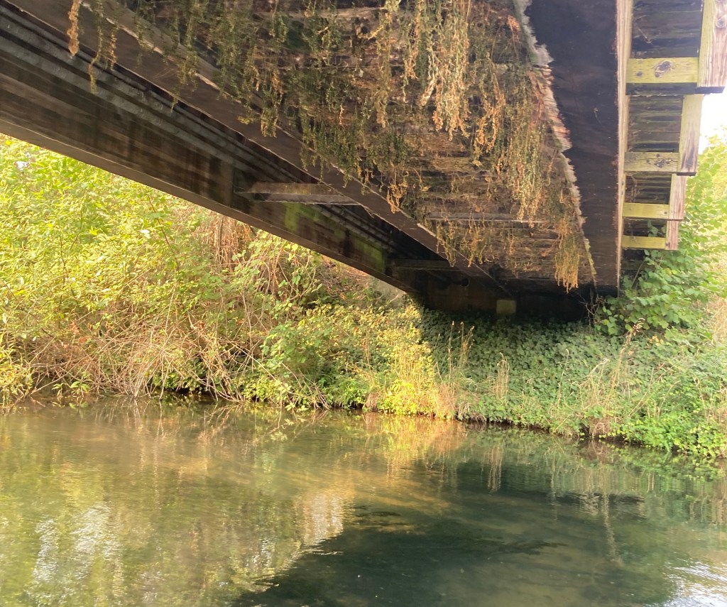
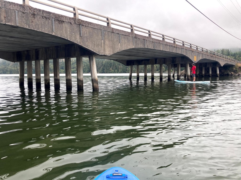
Continue under the bridge towards the Lookout Point Dam. This would add up to 2 more miles to your paddle route.
Check before you go:
- Toxic algae blooms: This temporary condition occurs at some of the area lakes in the summer and may affect your health if water or fish is consumed during these conditions. Get more info on how to tell if algae is harmful and watch for water advisories but also use common sense if you see water that doesn’t look right.
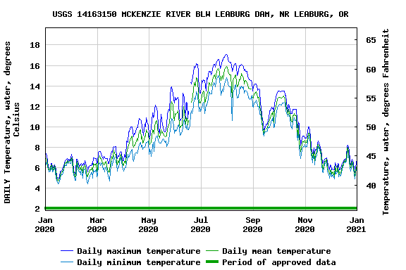
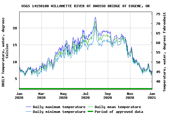
- Water temps: Here is a graph of the water temperature trend during an entire year, just to give you an idea of what to expect in case you take a splash.
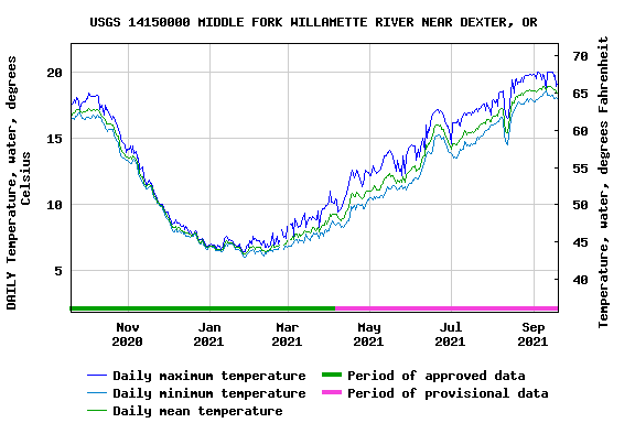
The actual water temperature appears to run 0-3F higher than the readout from the water monitor.
- Wind: waves can get choppy here, check on wind conditions
- Events: there are some large events held here, such as the Covered Bridge Regatta in April and the CBDA drag races in the summer. The Oregon Association of Rowers keeps a calendar of events and row practices that you can check here.
Additional things to do:
- Fish hatchery
- Disc-golf
- Hiking trails