

Skip ahead to check conditions
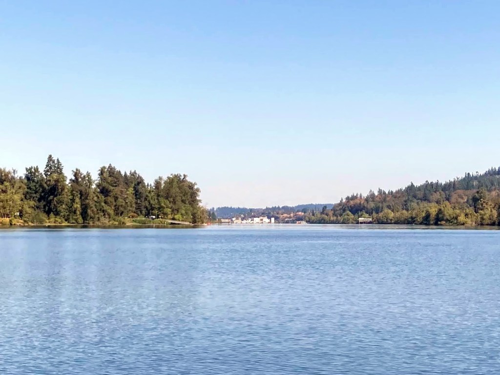
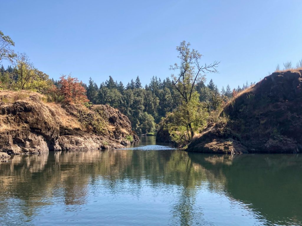
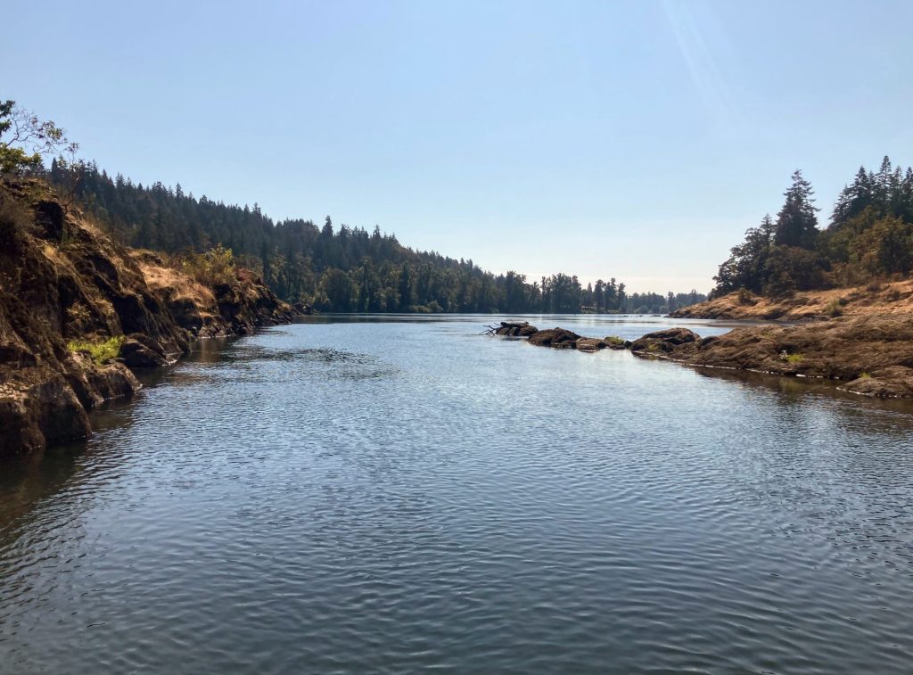
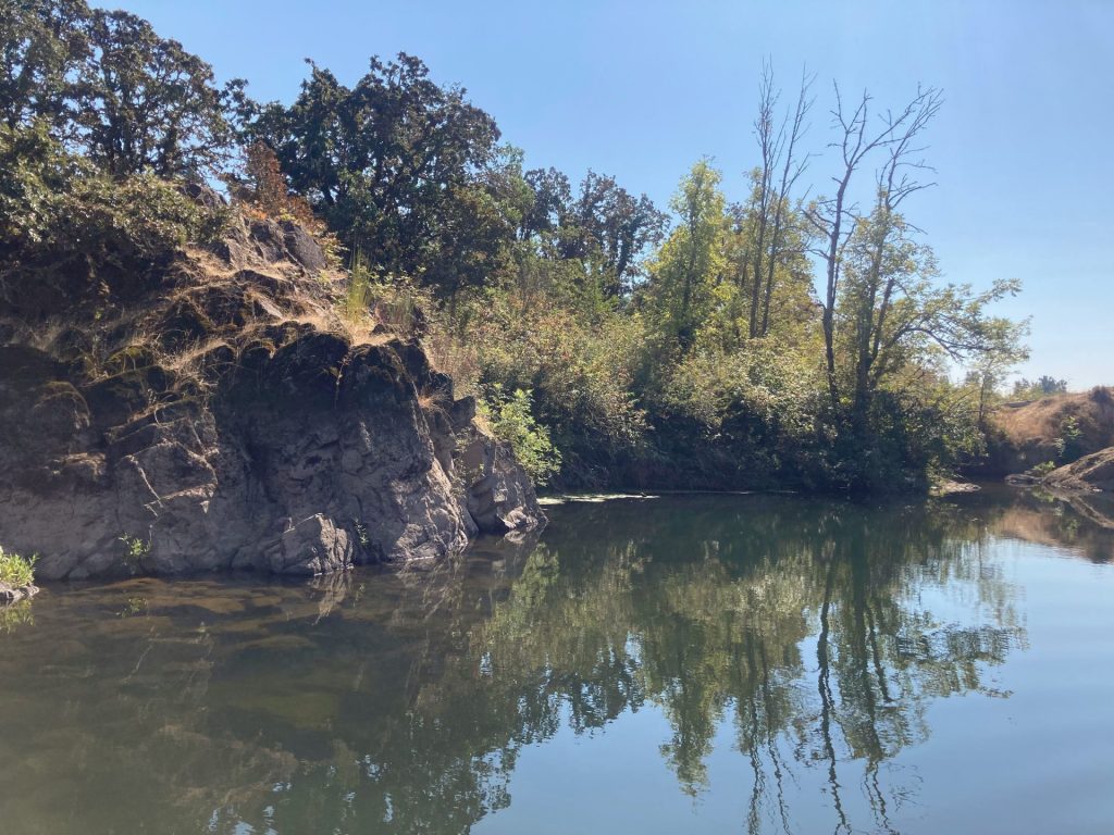
The Willamette River “Narrows” in West Linn is a popular paddling destination. It is defined by a cluster of basalt islands that are located just a few miles upstream from the dramatic basalt cliffs at the well-known Willamette Falls. In late summer and early fall, when the water level and flow are just right, paddlers can enjoy an easy out-and-back paddle to the Narrows.
Good to Know:
- Cellular reception is good or excellent here.
- The best time to visit is late summer or early fall.
- Watch for stronger current and turbulence at winter and spring flows.
- Watch out for powerboat traffic on the river and stay to the side.
Launch sites:
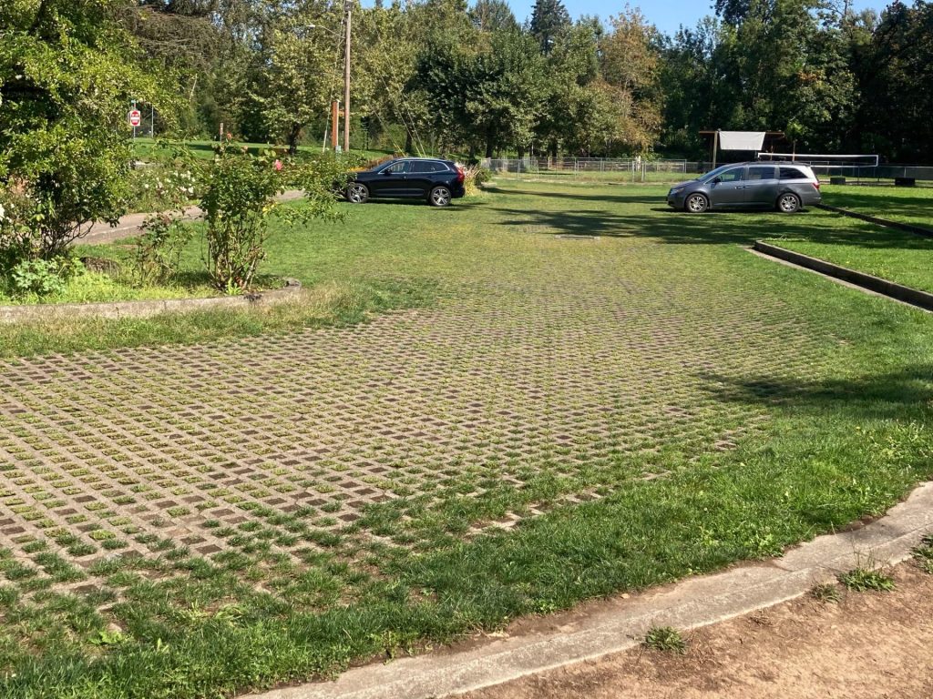
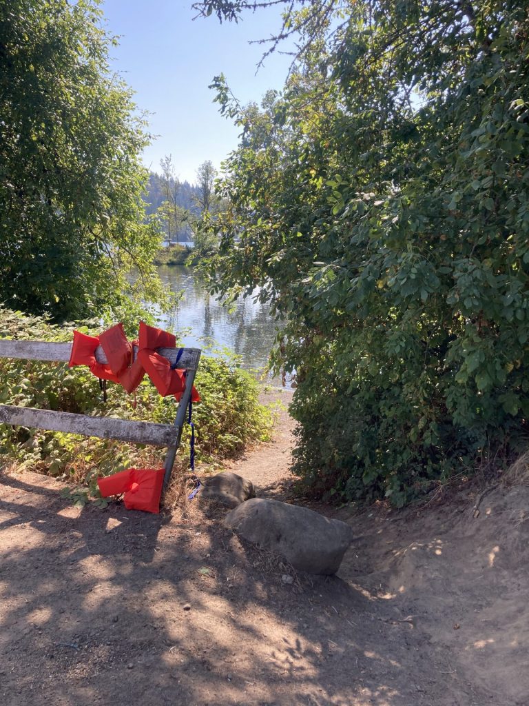
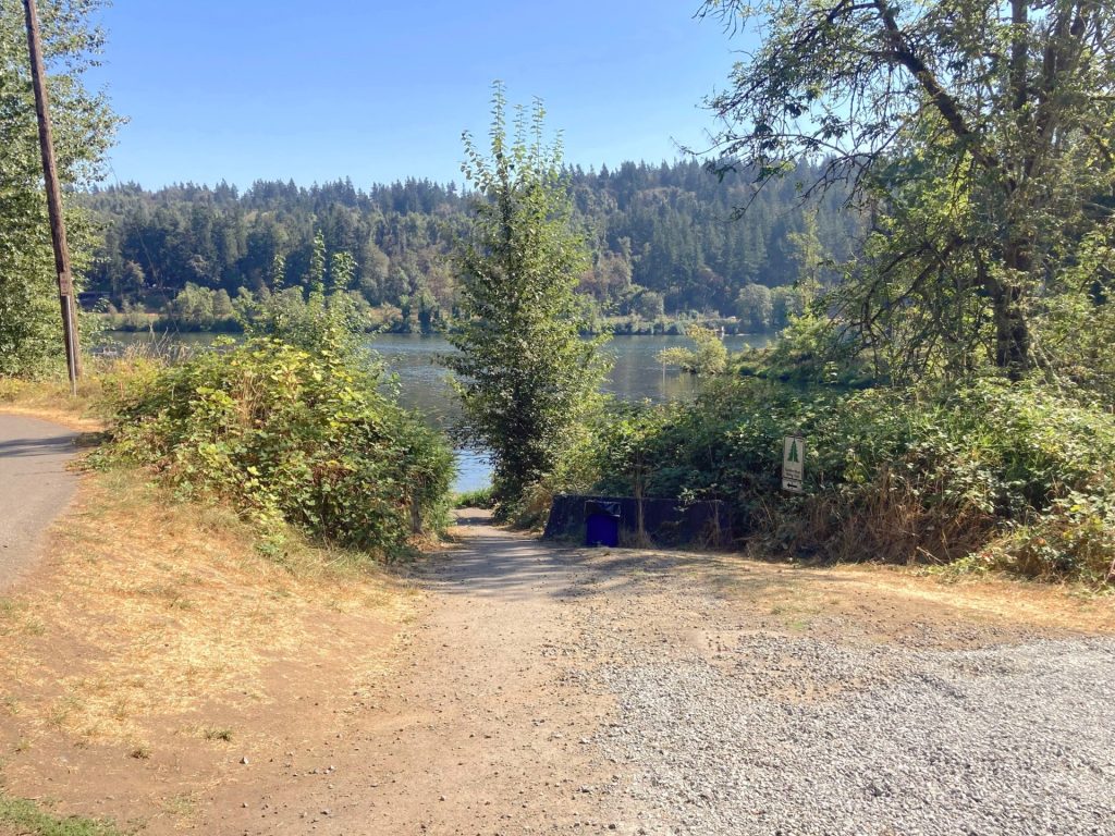
Willamette Park (West Linn)
- Parking fee: free
- Launch type: beach
- Restrooms: flush toilets near playground
- Open: year-round
There is a grassy parking lot located behind Willamette Park in West Linn at 12th St. and Volpp St. It is about 100 ft carry distance from the parking lot to the beach launch. The access to the beach is via a sloped narrow dirt path, suitable for hand-carrying your gear.
There is also parking along the west end of Volpp St. which leads to a wider, more gradual path about 160 ft to the beach.
Driving Directions:
Bernert Landing
- Parking fee: none
- Launch type: boat ramp, dock
- Restrooms: flush toilets
- Open: year-round
This launch site is located directly on the Willamette River. Parking is primarily for trailers here.
Driving Directions:


Additional things to do:
- To paddle up to the Willamette Falls, the 2nd largest waterfall in the Pacific Northwest, you would need to launch from a different point further downstream. There are several launches to choose from that are just a 5-mile drive away. See the post on Willamette Falls for more details.
Check before you go:
- Maps and Suggested Routes: Download or print out a map before you go from the SWT Planner App. As a premium member, you can access an ever-growing library of paddling-related maps and suggested routes.
- Weather: check that it is not too windy
[ventus width=”100%” height=”300px” radius=”10px” lat=”45.339″ lon=”-122.650″ zoom=”9″ layer=”wind” scale=”F” units=”mph” marker=”true” forecast=”true” time=”now].
- Water Temperature: Read the cold water safety page if you need more background info.
- Check the water level: When it rises above 56 ft. the flow is usually more turbulent, especially in the rocky areas. At lower water levels, some places may not be passable.
- Park questions: contact West Linn Parks at 503-557-4700
- Toxic algae blooms: This temporary condition occurs at some of the area lakes in the summer and may affect your health if water or fish is consumed during these conditions. Get more info on how to tell if algae is harmful and watch for water advisories but also use common sense if you see water that doesn’t look right.
- Inspect your watercraft. You can help prevent the spread of aquatic invasive species by wiping off any vegetation or debris from your watercraft and making sure it is dry each time before entering a new waterway.
- PFD, Whistle, and Waterway Access Permit: In Oregon, all paddlecraft 10′ or longer (including SUPs, kayaks, and canoes) require a permit. You can purchase the permit online.
Beware that the routes and information on this site are just general guides and the best path may vary based on water level, obstructions, experience level, equipment, and other conditions. Paddlers are responsible for providing their own safety. Super Water Trails does not assume any liability.
