
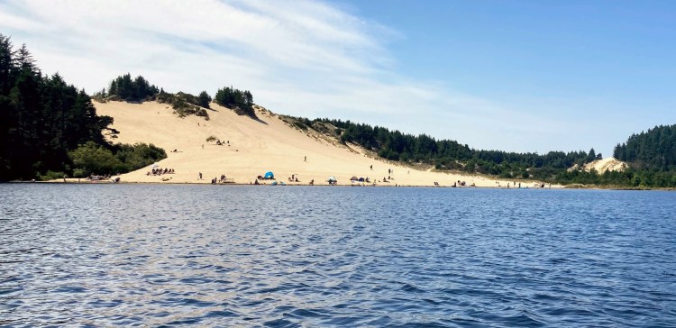
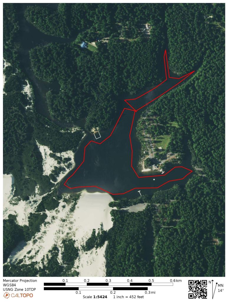
Cleawox Lake is a coastal dune lake just 4 miles south of Florence. You can spend an entire day at this 87-acre lake paddling, swimming, relaxing on the beach and of course, charging up that giant sand dune. This is a good coastal lake for first-timers and kids to practice in the wind-protected, shallow and warm waters by the beaches. Another plus, no high speed motorboats or water-skiers to avoid here.
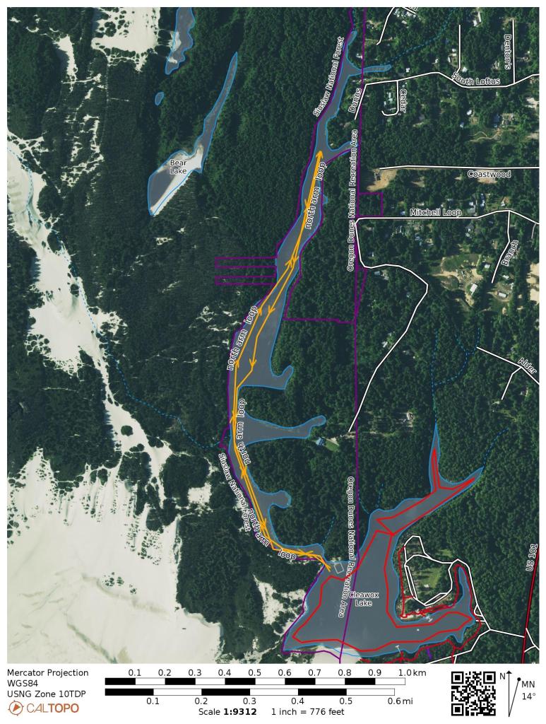
- Length– ~1.7 mile main loop, 2+ mile out and back north arm
- Fee – day use fee or Oregon State parks pass; or camp at Honeyman.
- Restrooms– flush toilets
- Cellular signal– excellent
- When to go – open year-round

Directions: from Florence, take Hwy 101 south, make a right at Jesse Honeyman State Park (between MP 193 and MP 194). Then, either turn right for Cleawox Day Use area or left for Honeyman Day use area.
Parking: There are some options for parking depending on the amenities you want to be close to. Both day use areas require a day pass and have restroom facilities and swimming beach areas. Parking at Honeyman will get you closer to the sand dune while parking at Cleawox will be closer to the summer boat rentals and may be less crowded.
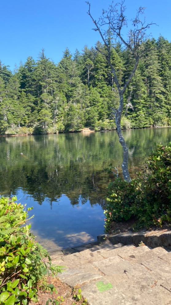
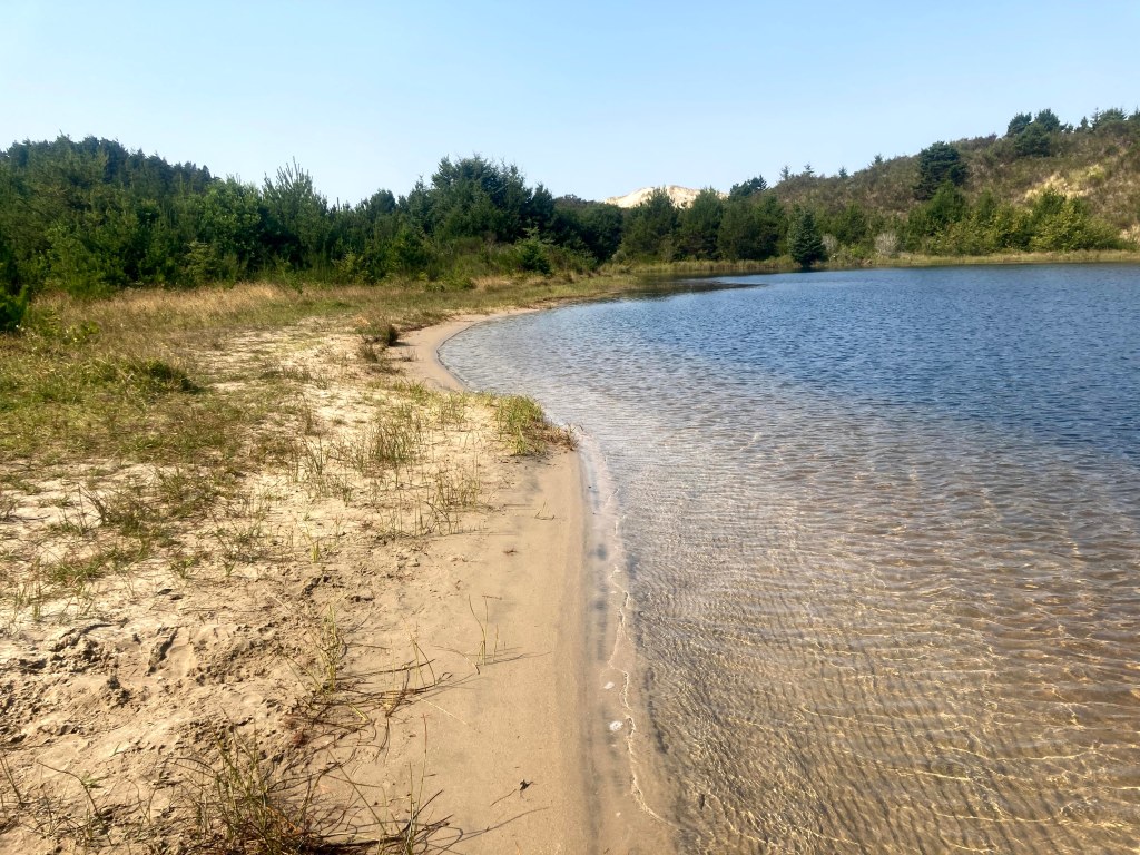
Aside from a few surface streams, most of the water comes into the lake via seepage. As such, the water quality is very good. The water temperature is about 70F in the summer and it is clear enough to view the fish darting around below.
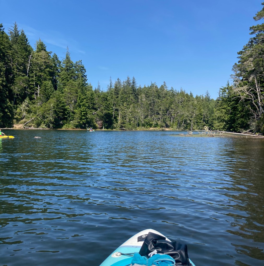
Paddling around the entire main area of the lake can take less than an hour but you can view the forested arms and wildlife on the northeast end in contrast to the sand dune and beaches on the south end.
For additional paddling and a quiet escape, locate the opening immediately to the left of the Girls Scouts camp area to enter the northern arm of the lake. The sand dune is encroaching on this inlet and you will need to paddle through the pondweeds and lily pads in order to reach deeper and clearer sections of this mile-long arm. Cellular phone reception appears to be limited in this arm.
Check before you go:
- Watch for winds and wind gusts, which usually pick up in the afternoon. It is generally advised for beginners to paddle when winds are less than 10mph.
Download a map and track your paddle:
This is a geospatial-enabled PDF map of the paddle. You can use these special PDFs with the mobile app Avenza to follow the route or track your own paddle distances and times. Please note that the routes are just general guides. The best path may vary based on water level or new obstructions in the water.
